Plizio Visual Lab
Quilalí
ℹ️Practical info — Quilalí
▾
🌤 Weather — 5 days
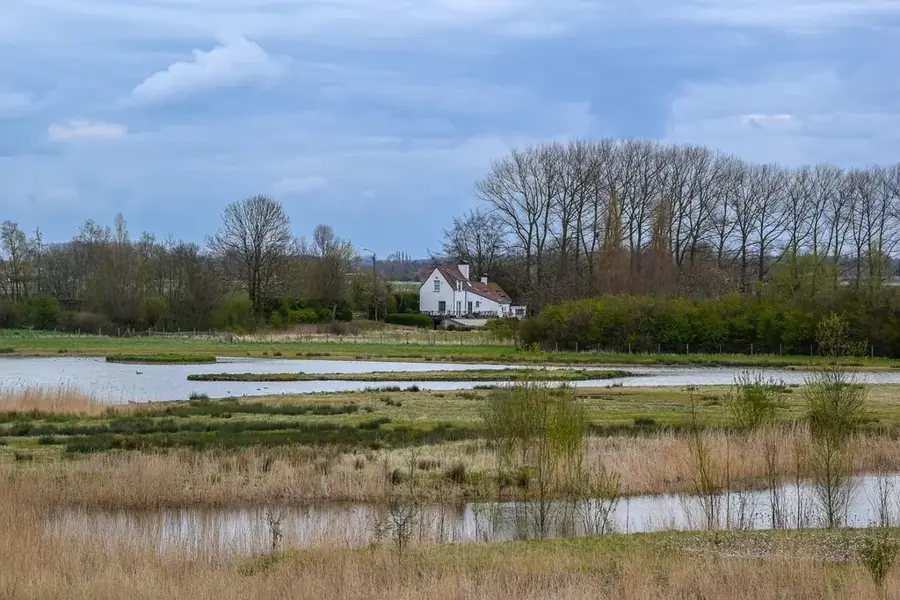
📍 Nearby
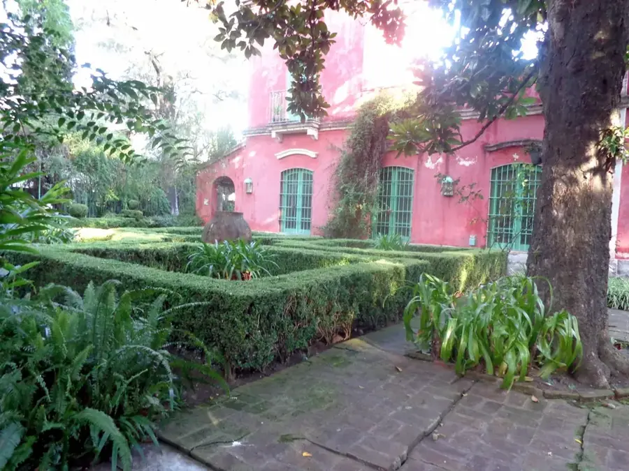
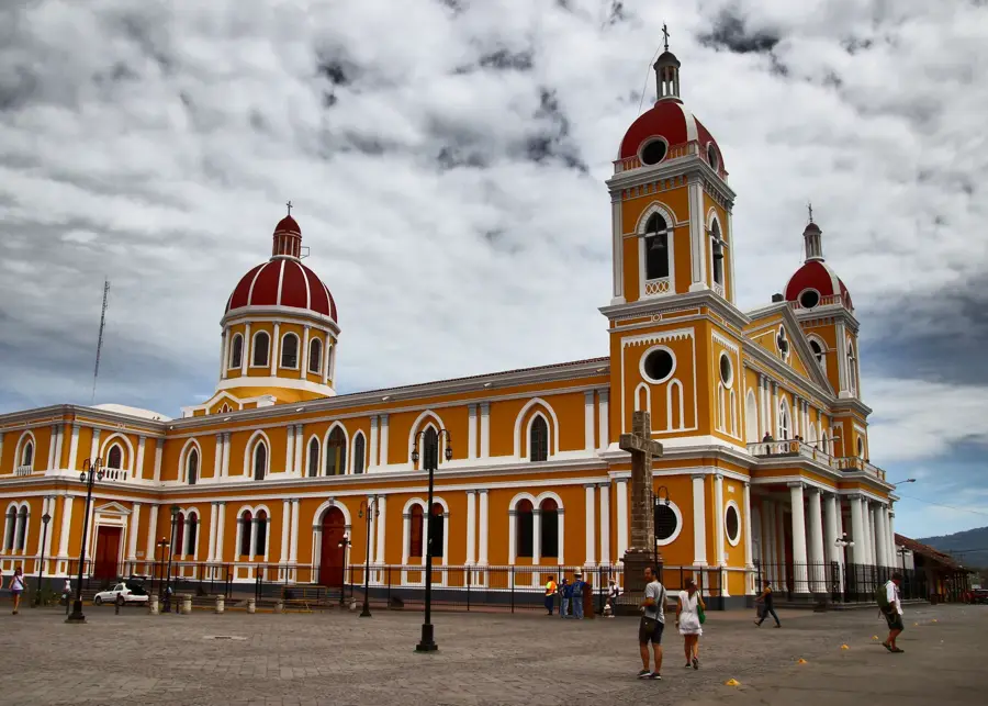
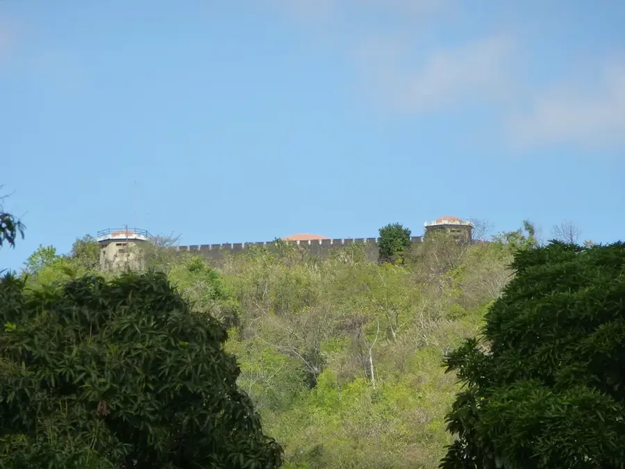
Sights nearby
💡 Tips
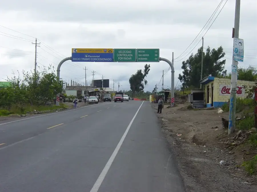
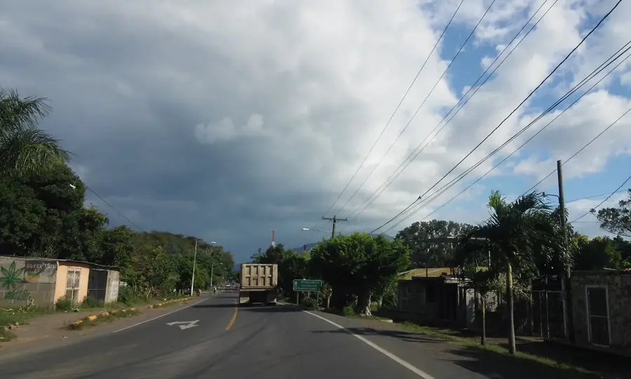
- Allow plenty of time for travel, as mountain roads are steep and often unpaved.
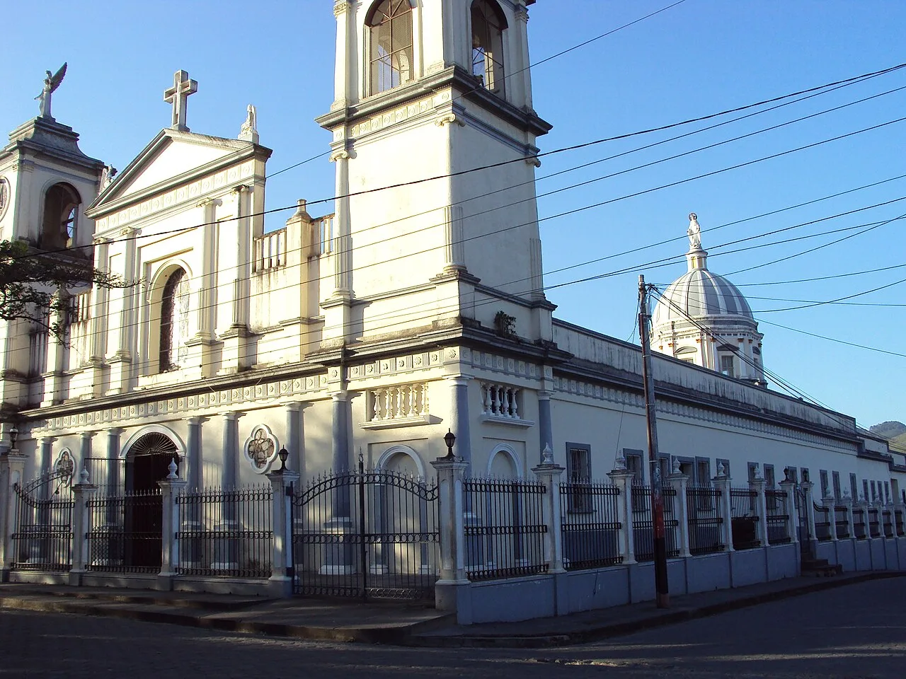
- Visit the General Sandino monument; the town has a strong revolutionary history.
- You can swim in the Río Coco, but ask locals for the safest spots.
- Nights can be cool at this altitude; bring a light jacket.
- Mobile reception can be very weak in the deeper valleys.
🍽 Food
Large corn dumplings with meat and vegetables, a classic weekend breakfast.
Crunchy corn biscuits, best enjoyed dipped in coffee.
Sweet corn dough filled with meat, typical of northern Nicaragua.
🛍 Shopping · 🧘 Quiet spots
High-quality coffee directly from small local producers.
Local tobacco, often processed in small family businesses.
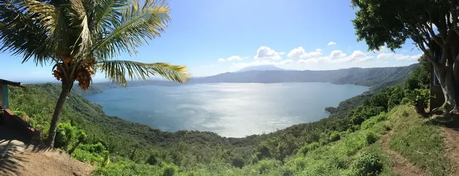
A tiring climb, but rewarded with incredible silence and views.
Find a shaded spot under the willows by the water.
Water temperature…
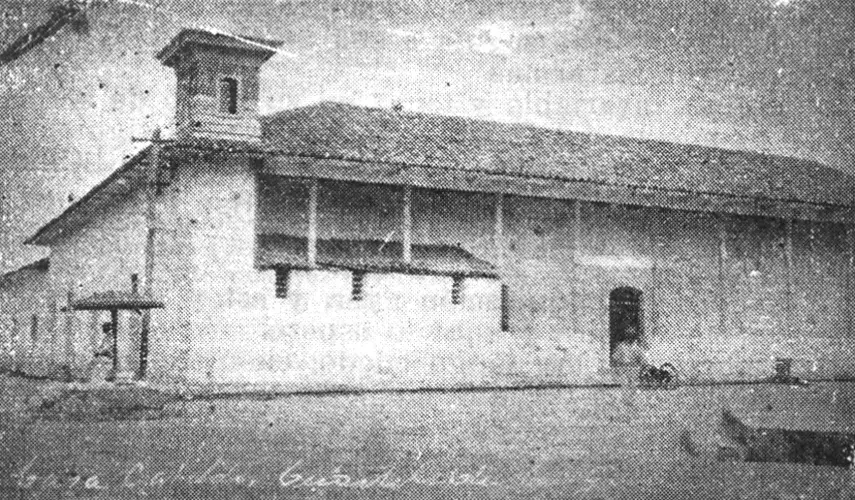
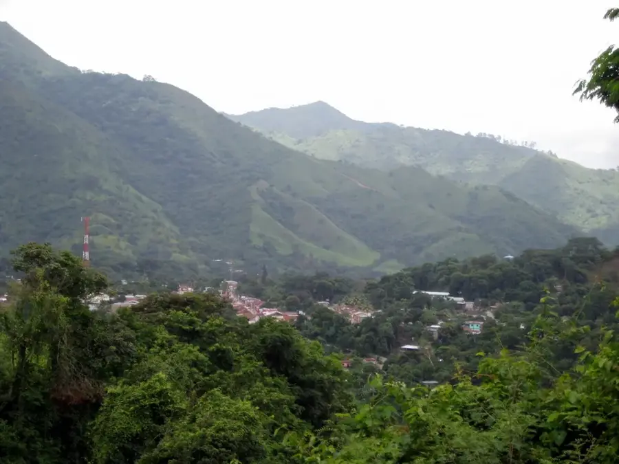
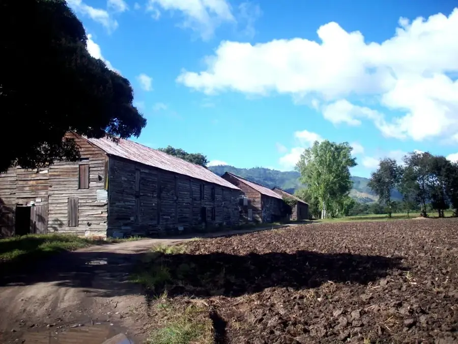
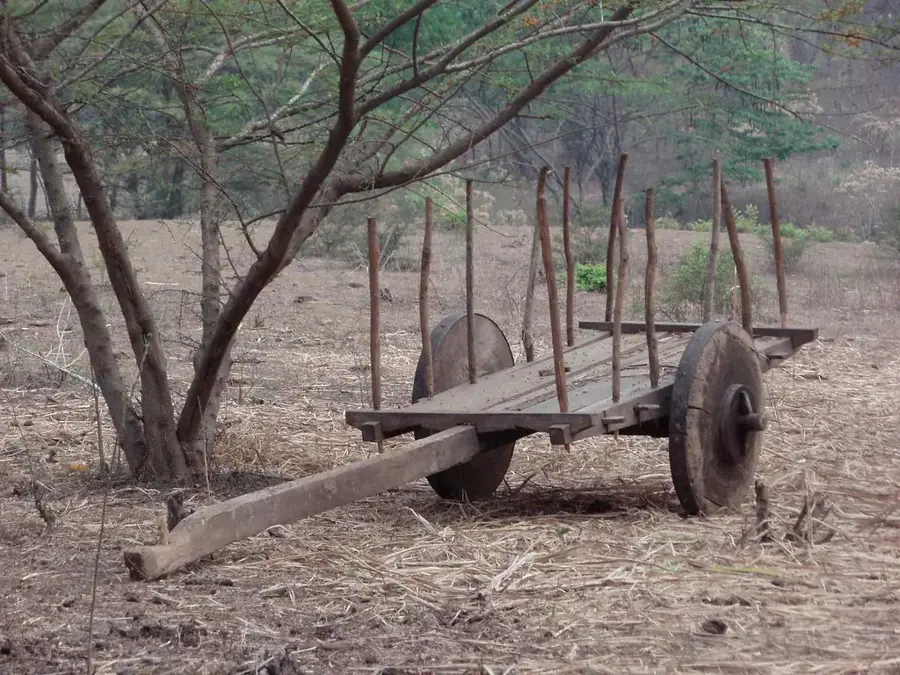
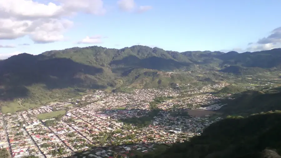
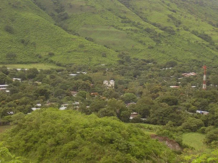
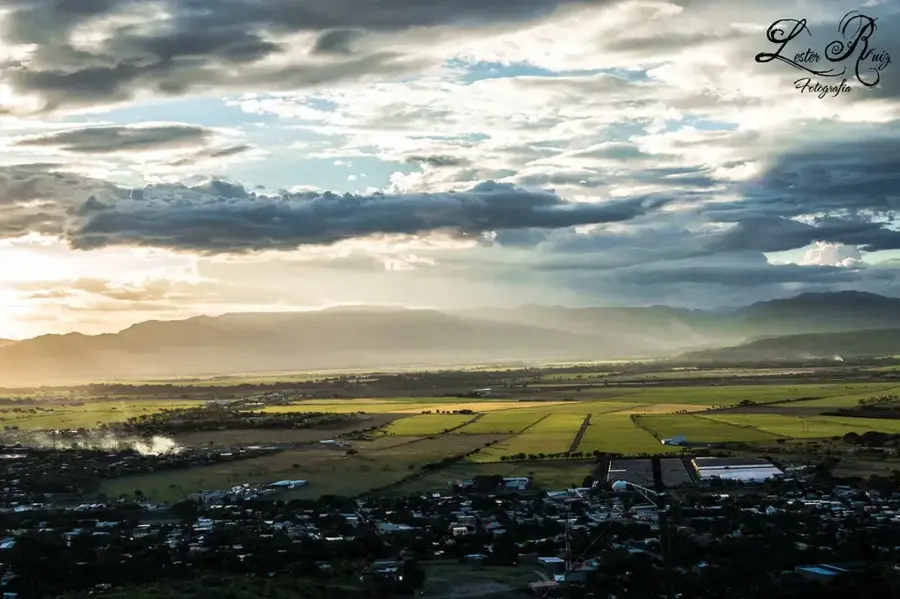
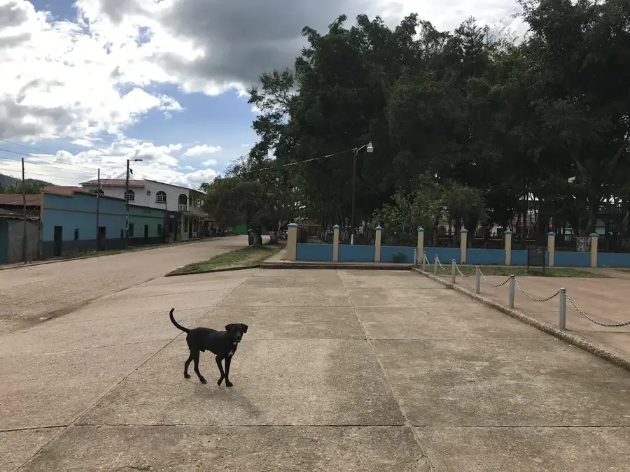
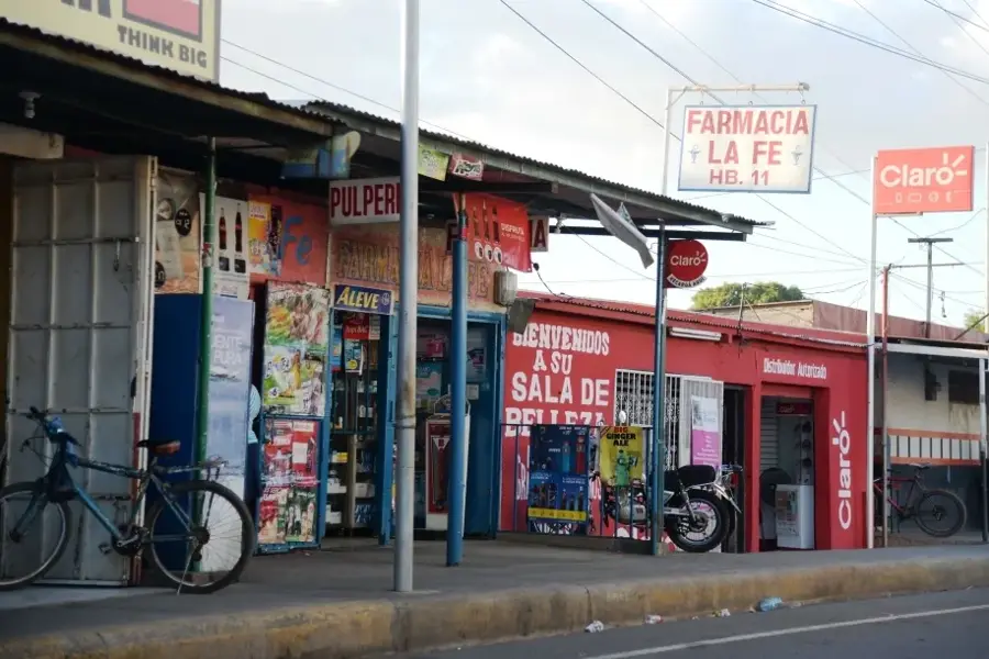
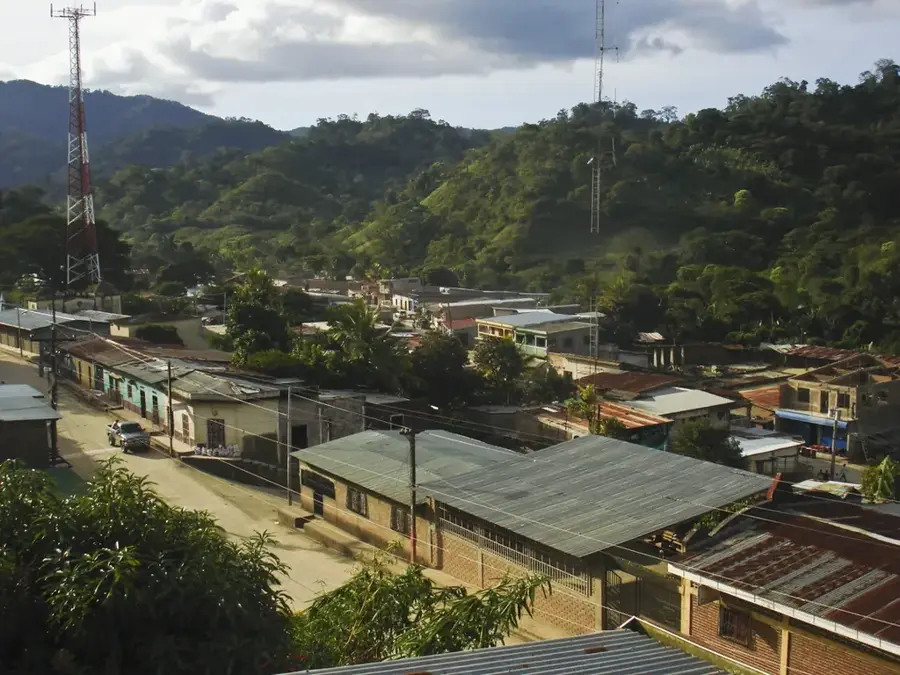
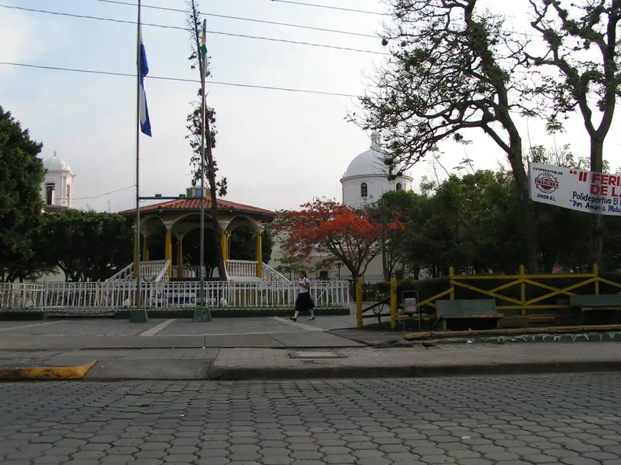
Quilalí is a historically significant municipality in the Nueva Segovia Department, deeply rooted in Nicaragua's national liberation struggles. The town gained nationwide fame during the 1920s and 1930s as a primary base of operations for General Augusto C. Sandino during his resistance against the U.S. intervention. Geographically, Quilalí is situated in a rugged mountainous region along the banks of the Río Jícaro, surrounded by dense forests and steep terrain that once provided strategic advantages for guerrilla warfare. The town's economy is currently driven by tobacco and coffee cultivation, as well as livestock ranching. The climate is moderately tropical, which enhances the quality of its agricultural exports. Historically, the area was the site of numerous military engagements and remains a place of remembrance for national sovereignty. Visitors to Quilalí encounter an authentic atmosphere characterized by the residents' pride in their rebellious history and agricultural traditions.
- Location: Nicaragua
- Nearby: Terrabona (10 km)
- Population: ~13.590 (2018)
Best time to visit & climate
The most pleasant time to visit is Jan, Feb, Dec.
| Jan | Feb | Mar | Apr | May | Jun | Jul | Aug | Sep | Oct | Nov | Dec | |
|---|---|---|---|---|---|---|---|---|---|---|---|---|
| Avg °C | 22 | 23 | 25 | 26 | 25 | 24 | 23 | 24 | 23 | 23 | 22 | 22 |
| Rain mm | 8 | 8 | 11 | 37 | 167 | 201 | 106 | 132 | 215 | 204 | 43 | 26 |
Geography
Facts
- Quilalí served as a strategic center for General Sandino's army.
- The town is located on the banks of the Jícaro River in northern Nicaragua.
- Tobacco is one of the most important agricultural exports of the area.
- The town became famous during the Constitutionalist War of 1926-1927.
- Quilalí is situated approximately 260 kilometers from Managua.
- The surrounding mountains are part of the Dipilto and Jalapa range.
Explore nearby
Notable places around
Route planner — Car & Motorhome
Where do you start? We build the route here, with stops and country notes along the way.
© OpenStreetMap contributors · OpenRouteService
Sights in the town Quilalí (1)
Frequently asked questions
Where is Quilalí located?
What is the main characteristic of Quilalí?
Can you swim there?
What is the infrastructure like?
Is it safe for travelers?
Quilalí: where is it located?
Quilalí: when is the best time to visit?
Quilalí: why is it worth visiting?

Nearby cities
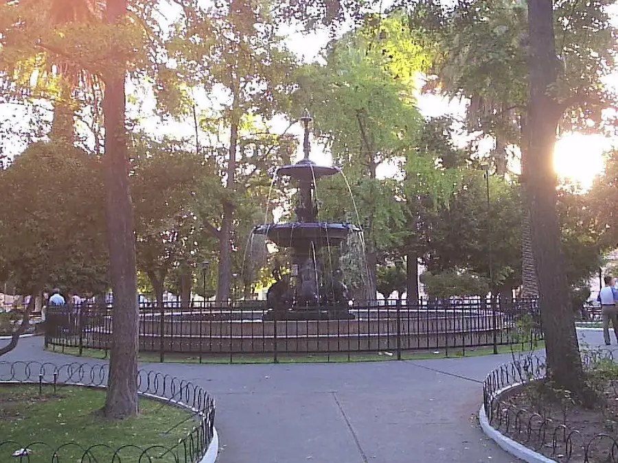
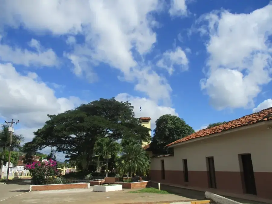
History & landmarks
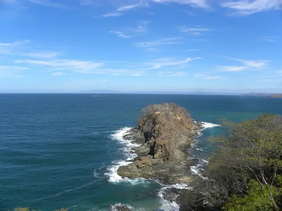
Nature
More places