Plizio Visual Lab
San Fernando

ℹ️Practical info — San Fernando
▾
🌤 Weather — 5 days
📍 Nearby
Sights nearby
💡 Tips
- Enjoy the cool climate; San Fernando is one of the coldest places in Nicaragua.
- Be sure to bring a warm jacket for the evenings.
- The town is located on the main road to Ocotal, making access easy.
- Visit the coffee processing plants (beneficios) during harvest season (Nov-Feb).
- Hike in the pine forests surrounding the town for fresh air.
🍽 Food
Hearty beef soup with plenty of root vegetables, first-rate for cool days.
The local coffee is excellent and is often enjoyed here with fresh cream.
Thick, hot tortillas straight from the grill, served with local smoked cheese.
🛍 Shopping · 🧘 Quiet spots
Baskets and decorative items made from dried pine needles and wood.
Pure honey from the surrounding mountain forests.
Walk through the fragrant forests for absolute peace.
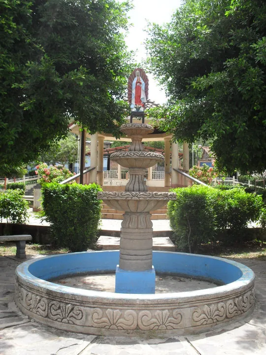
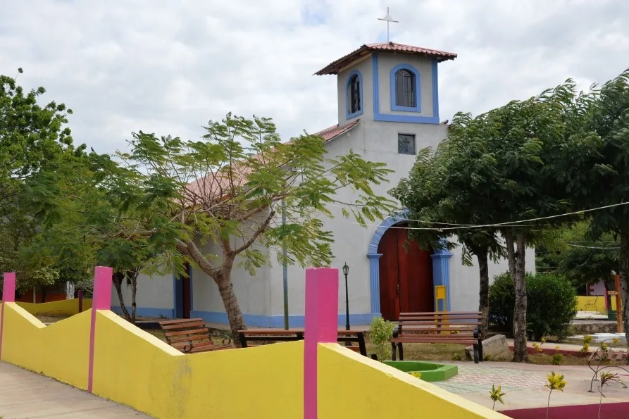
A peaceful square with views of the surrounding mountains.
Water temperature…
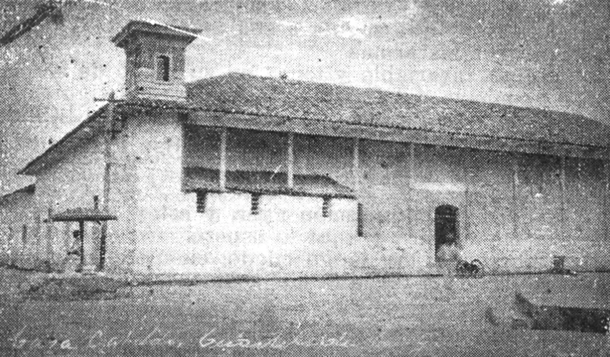
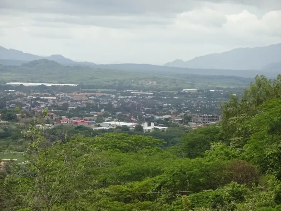
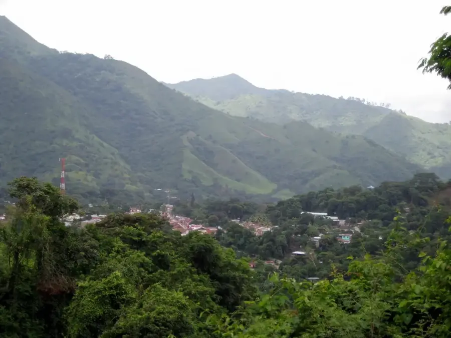
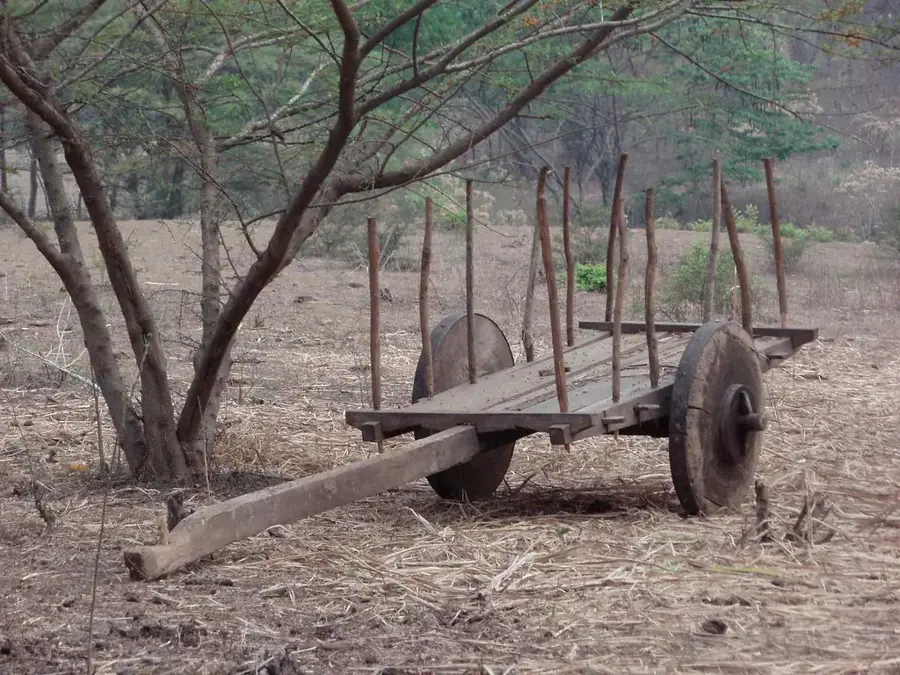
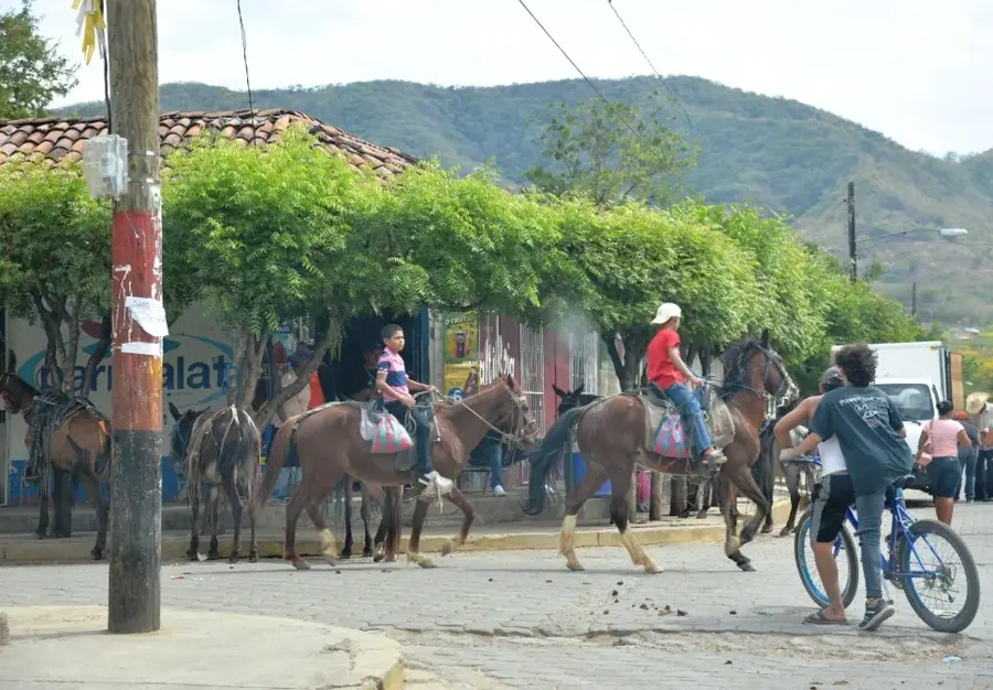
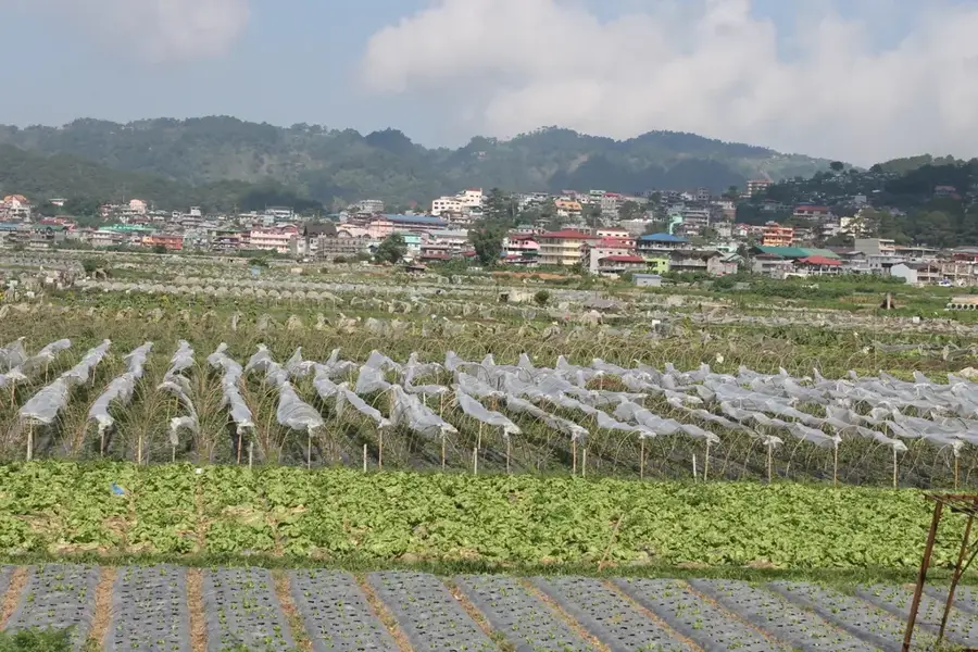
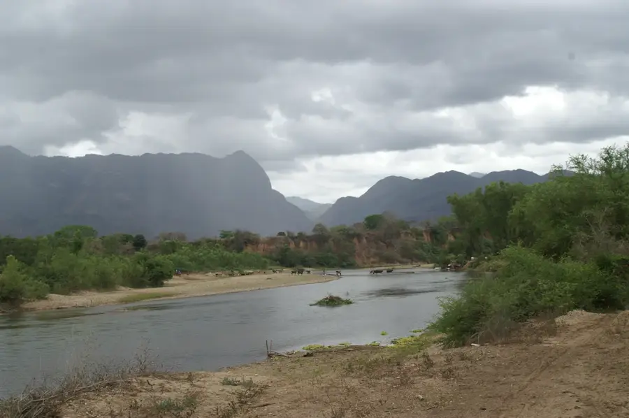
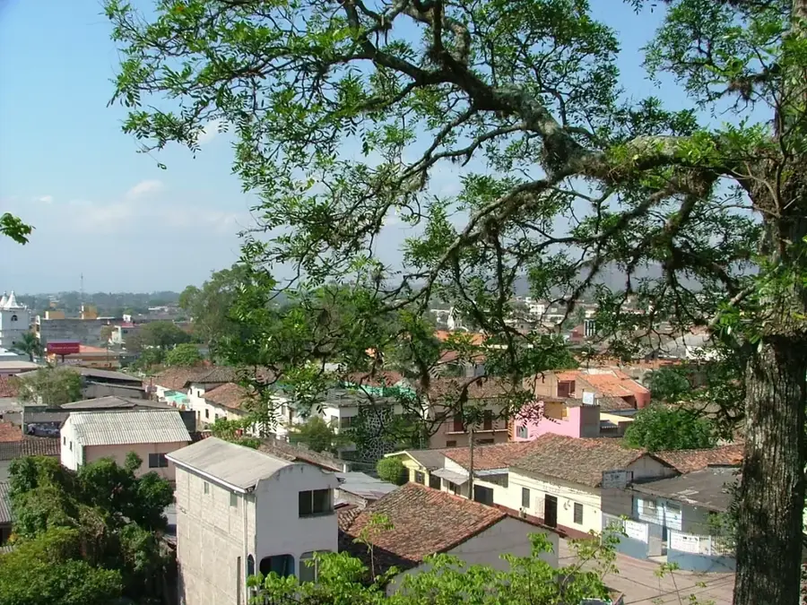
San Fernando is a high-altitude municipality in the Nueva Segovia Department, situated directly along the border with Honduras. The town is famous for its cool mountain climate and dramatic natural surroundings, dominated by the peaks of the Cordillera de Dipilto y Jalapa. Geographically, San Fernando is one of the highest inhabited areas in Nicaragua, making it a prime location for the cultivation of excellent highland coffee. Its economy is almost entirely agricultural, producing potatoes and basic grains in addition to its premium coffee crops. Historically, the region was part of the colonial expansion into the north and served for many years as a vital border outpost. The town's architecture is humble, mirroring the rustic lifestyle of the Nicaraguan highlands. San Fernando provides numerous opportunities for hiking in pristine pine forests, where visitors can discover a diverse array of flora and fauna. The community is well-regarded for its hospitality and its preservation of traditional rural festivals, which are closely tied to the Catholic liturgical calendar.
- Location: Nicaragua
- Nearby: Telpaneca (6 km)
- Population: ~3.899 (2026)
Best time to visit & climate
The most pleasant time to visit is Jan, Feb, Dec.
| Jan | Feb | Mar | Apr | May | Jun | Jul | Aug | Sep | Oct | Nov | Dec | |
|---|---|---|---|---|---|---|---|---|---|---|---|---|
| Avg °C | 22 | 23 | 25 | 26 | 25 | 24 | 23 | 24 | 23 | 23 | 22 | 22 |
| Rain mm | 8 | 8 | 11 | 37 | 167 | 201 | 106 | 132 | 215 | 204 | 43 | 26 |
Geography
Facts
- San Fernando is located near Cerro Mogotón, the highest point in Nicaragua.
- The town sits at an elevation of over 1,000 meters above sea level.
- The border with Honduras is just a few kilometers from the town center.
- Highland coffee is the primary source of income for the community.
- The region is dominated by dense pine and oak forests.
- San Fernando was officially recognized as a municipality in 1897.
Explore nearby
Notable places around
Route planner — Car & Motorhome
Where do you start? We build the route here, with stops and country notes along the way.
© OpenStreetMap contributors · OpenRouteService
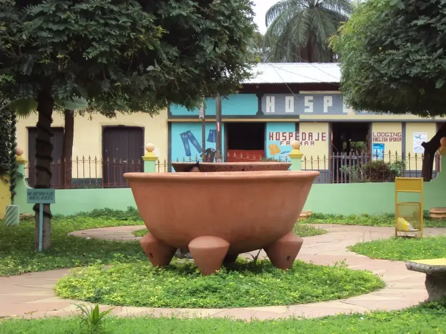
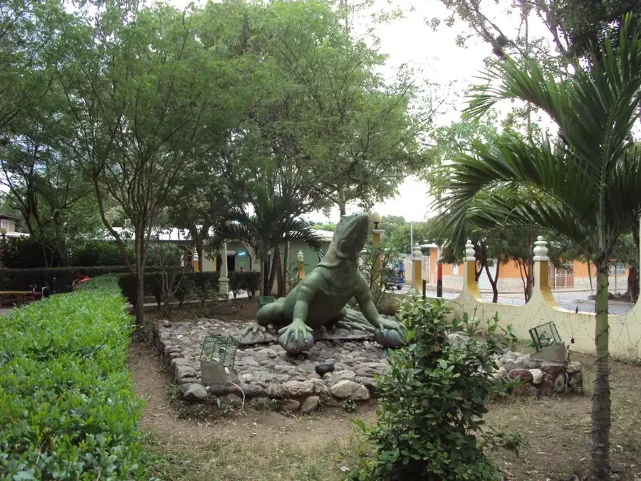
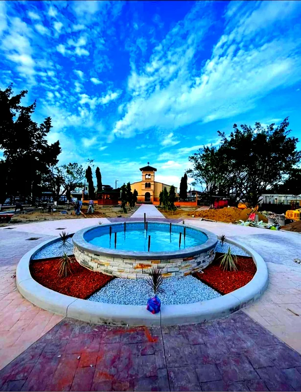
Sights in the town San Fernando (1)
Frequently asked questions
Why should I visit San Fernando?
What are the temperatures like at altitude?
Are there hiking trails there?
What is the best travel time?
Do you need a car?
San Fernando: where is it located?
San Fernando: when is the best time to visit?
San Fernando: why is it worth visiting?

Nearby cities

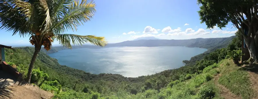
Nature
More places