Plizio Visual Lab
Coco River
Weather…
Water temperature…
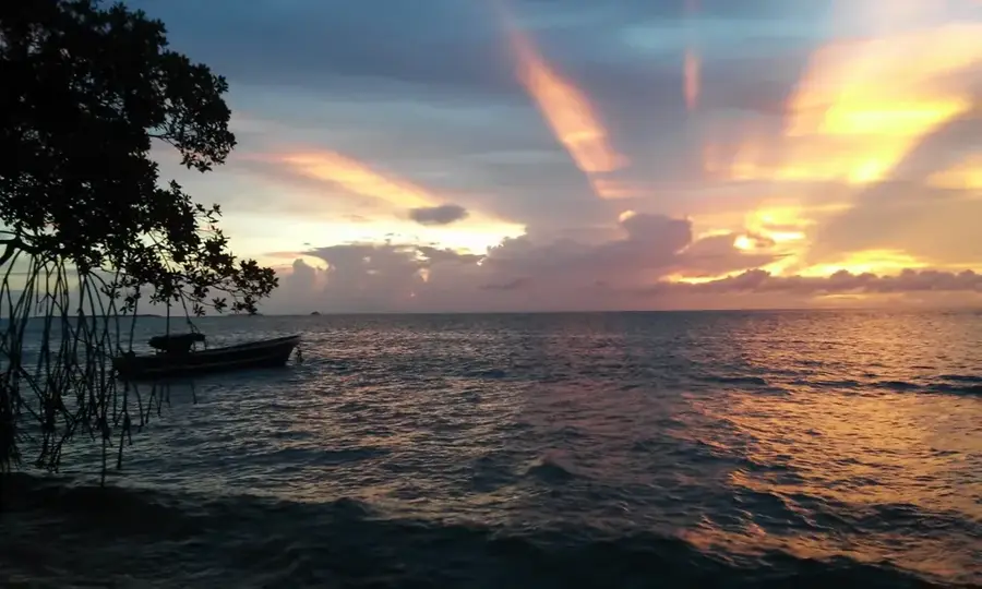
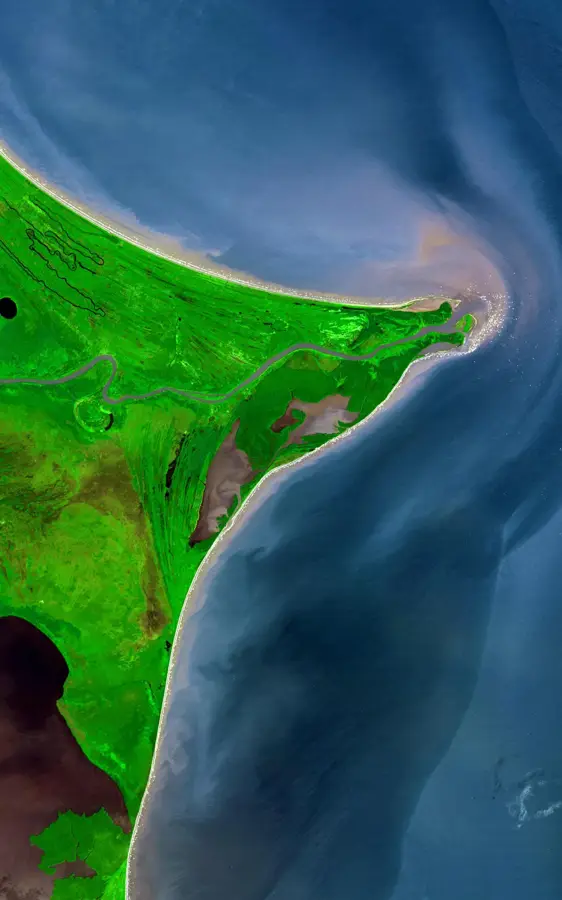
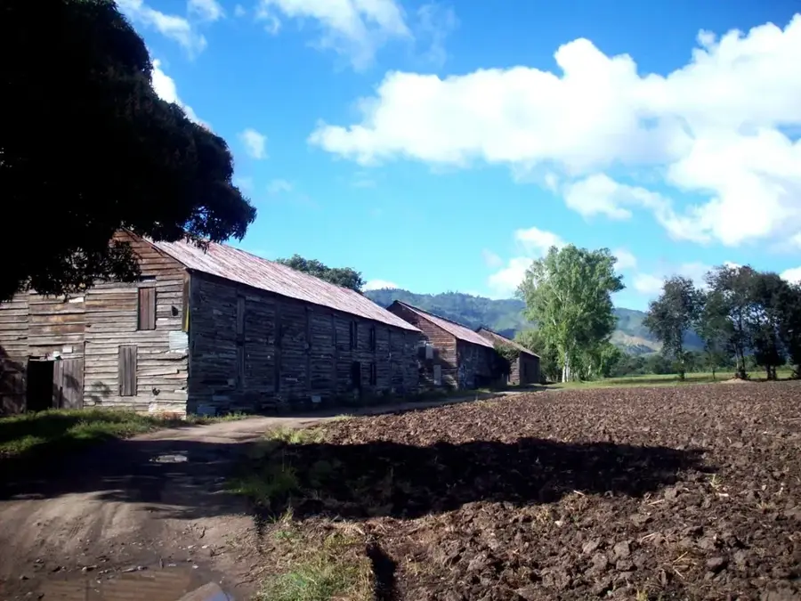
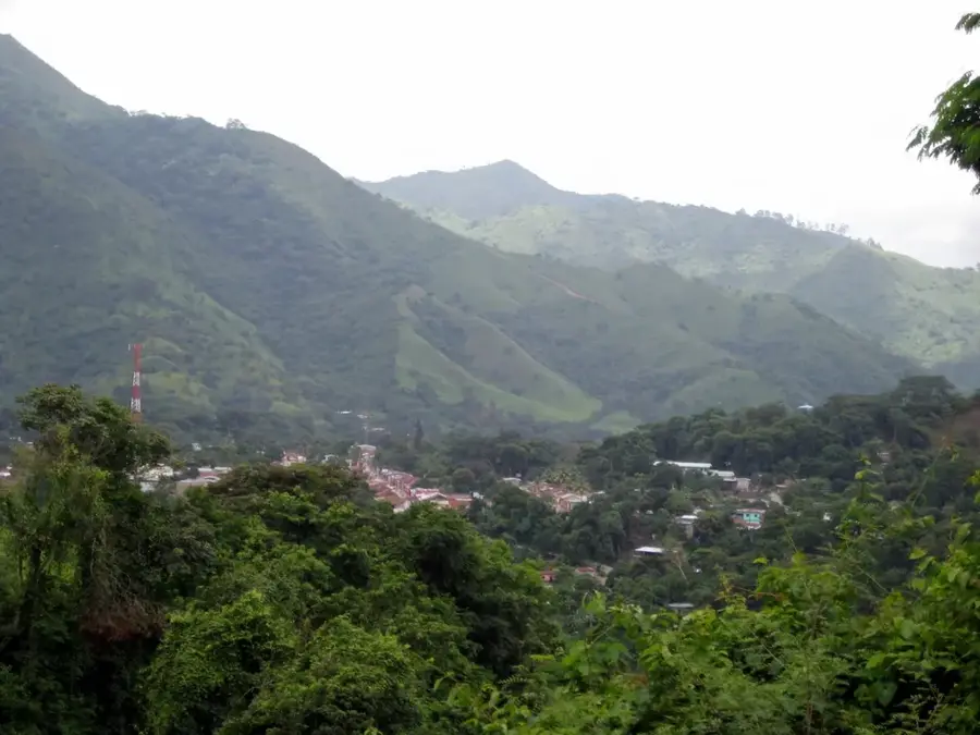
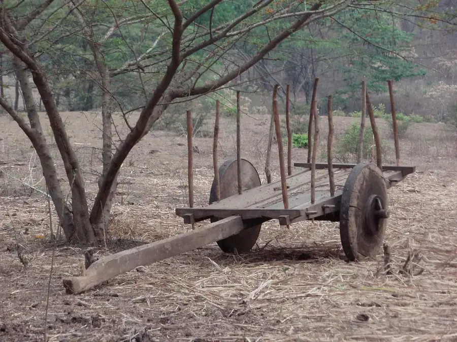
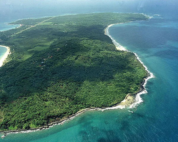
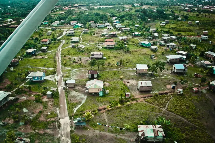
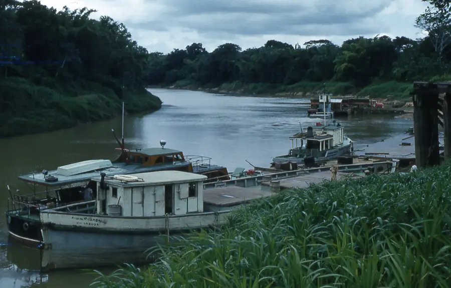
The Coco River, also known as the Segovia River or Wanki in the Miskito language, is the longest river in Central America that flows primarily through Nicaraguan territory, stretching approximately 680 kilometers. It originates in the Nicaraguan highlands near San Marcos de Colón and empties into the Caribbean Sea at Cabo Gracias a Dios. For much of its length, the river forms the natural international boundary between Nicaragua and Honduras. Navigating through remote areas characterized by dense tropical rainforests, it serves as the vital lifeline and primary transportation route for the indigenous Miskito and Mayangna communities living along its banks. The river holds immense historical and geological significance, as it lies at the center of Central America's first UNESCO Global Geopark, established in 2007. Its basin is home to remarkable geological formations, such as deep canyons and waterfalls, and supports a vast array of aquatic life within one of the largest rainforest blocks north of the Amazon.
- Location: Nicaragua
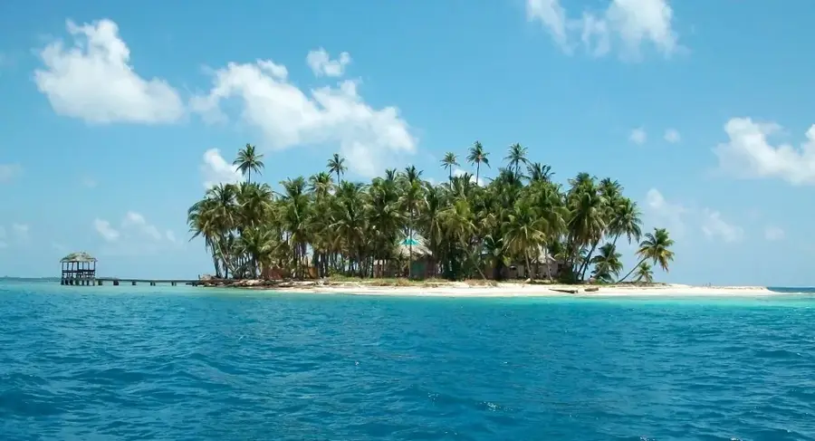
- Nearby: Corn Island (39 km)
Best time to visit & climate
The most pleasant time to visit is Feb–Apr.
| Jan | Feb | Mar | Apr | May | Jun | Jul | Aug | Sep | Oct | Nov | Dec | |
|---|---|---|---|---|---|---|---|---|---|---|---|---|
| Avg °C | 26 | 26 | 26 | 27 | 28 | 28 | 28 | 28 | 28 | 28 | 27 | 26 |
| Rain mm | 118 | 72 | 55 | 62 | 160 | 245 | 246 | 232 | 193 | 392 | 295 | 169 |
📋 Practical info
Geography
Facts
- The Coco River spans approximately 680 kilometers in total length.
- Its mouth at Cabo Gracias a Dios was named by Christopher Columbus.
- It serves as the formal border between Nicaragua and Honduras.
- The river basin was designated a UNESCO Global Geopark in 2007.
- Indigenous communities rely on the river for 90% of their transport.
- The river's sediment is known to contain significant deposits of gold.
Explore nearby
Notable places around
Route planner — Car & Motorhome
Where do you start? We build the route here, with stops and country notes along the way.
© OpenStreetMap contributors · OpenRouteService
Sights nearby
Frequently asked questions
What is the difficulty level of kayaking on the Río Coco?
What is the best time of year to visit Río Coco?
Do I need a local guide for a tour on the Río Coco?
Are there sanitary facilities along the river route?
How can I protect myself from insects on the Río Coco?
Coco River: where is it located?
Coco River: when is the best time to visit?
Coco River: why is it worth visiting?

Nearby cities

History & landmarks
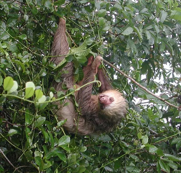
Nature
More places