Plizio Visual Lab
Telpaneca
ℹ️Practical info — Telpaneca
▾
🌤 Weather — 5 days
📍 Nearby
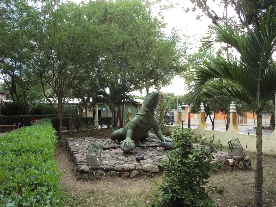
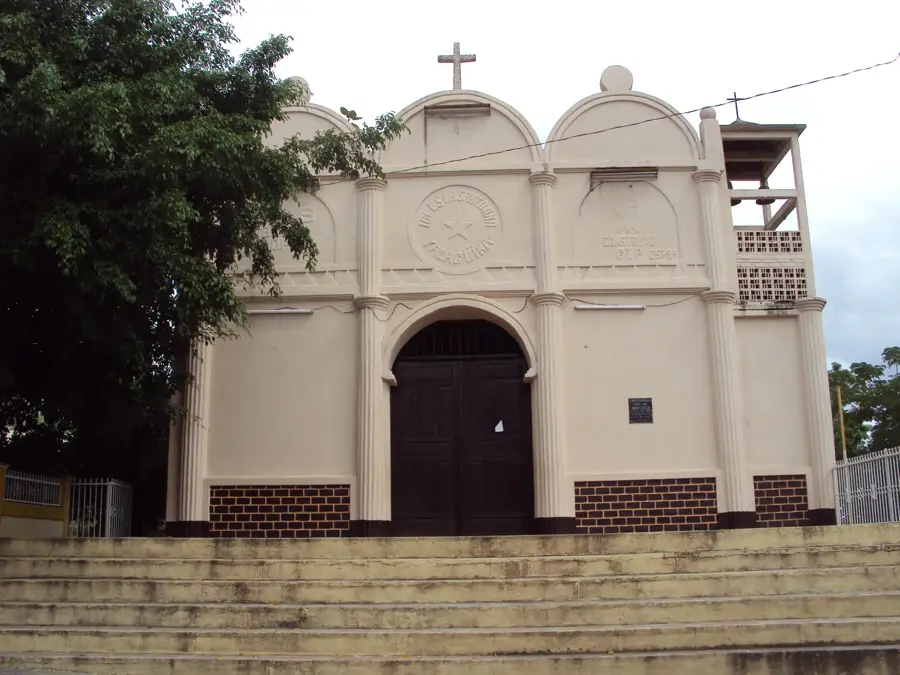
Sights nearby
💡 Tips
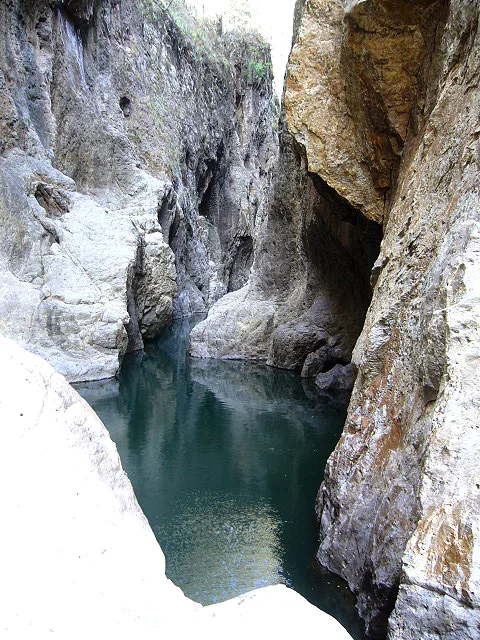
- Walk across the impressive hanging bridge over the Coco River for a unique view of the canyon and valley.
- Learn about the town's ancient history; it is one of the oldest established indigenous communities in the area.
- Visit local bakeries in the early morning to catch the fresh smell of traditional 'rosquillas' being baked.
- Hike to the higher parts of the municipality for sweeping views of the rugged Madriz mountains.
- Ask locals about nearby petroglyphs or archaeological sites that reflect the area's pre-Columbian past.
🍽 Food
Crunchy, ring-shaped corn biscuits that are a regional specialty; best enjoyed dipped in coffee.
Locally grown coffee from the Madriz mountains, known for its acidity and deep flavor.
Fresh, firm cheese made in the surrounding rural communities, often served with tortillas.
🛍 Shopping · 🧘 Quiet spots
Buy bags of rosquillas and hojaldres directly from the family-run bakeries that use wood-fired ovens.
Look for handmade clay pots and crafts that use ancestral techniques and designs.
Find a quiet spot by the water near the bridge to enjoy the sound of the river and the birds.
Walk to the outskirts for a peaceful vantage point over the red-tiled roofs and the valley.
Water temperature…
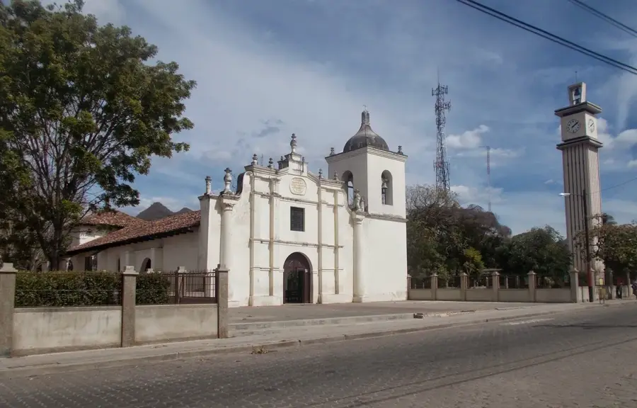
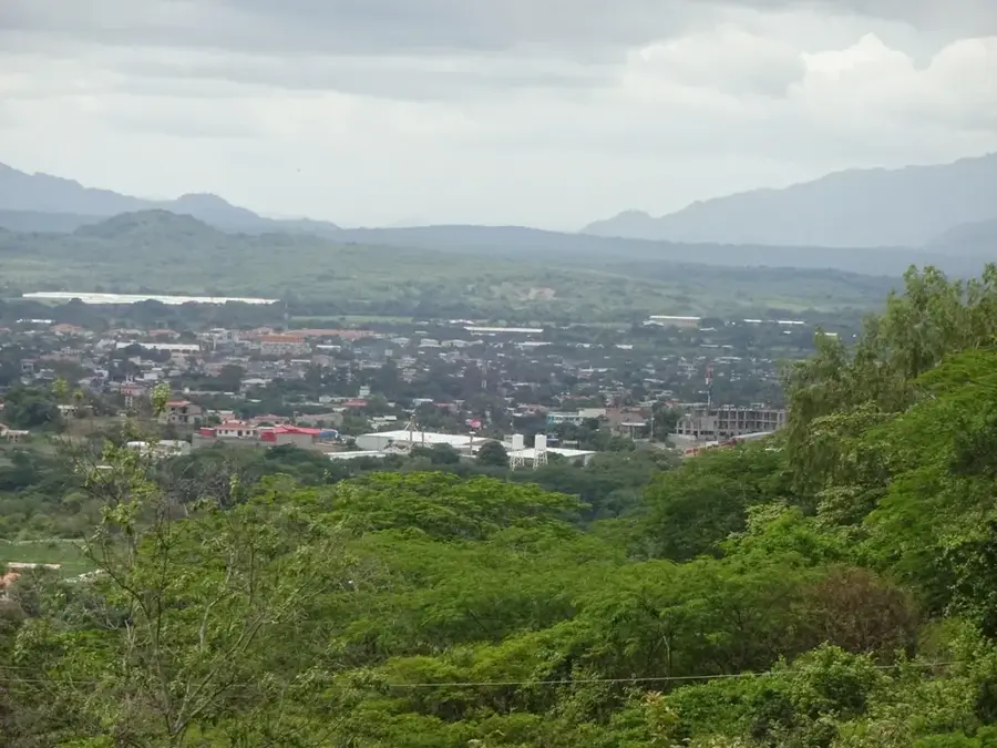
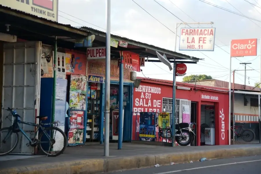
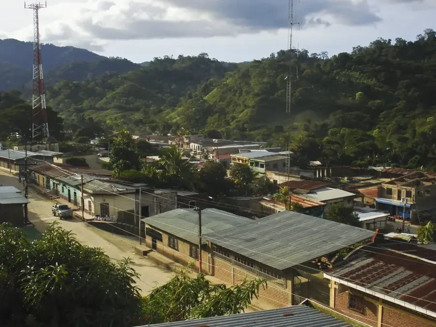
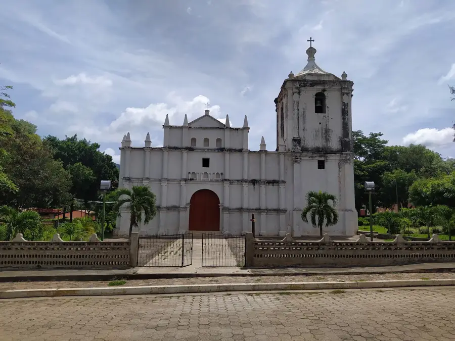
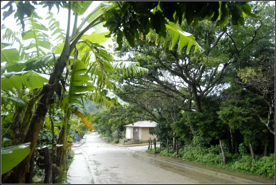
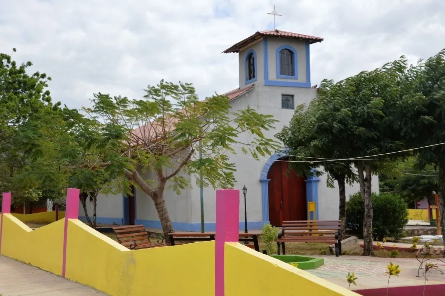
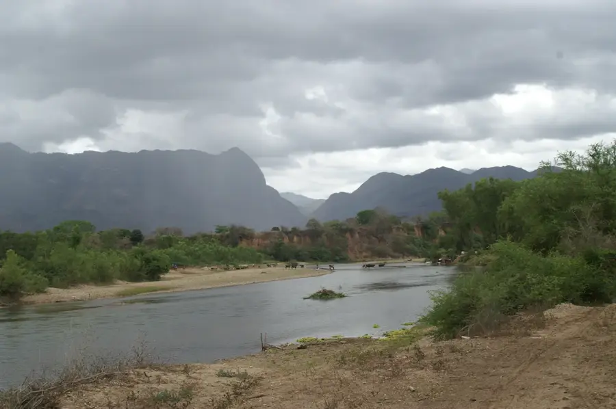
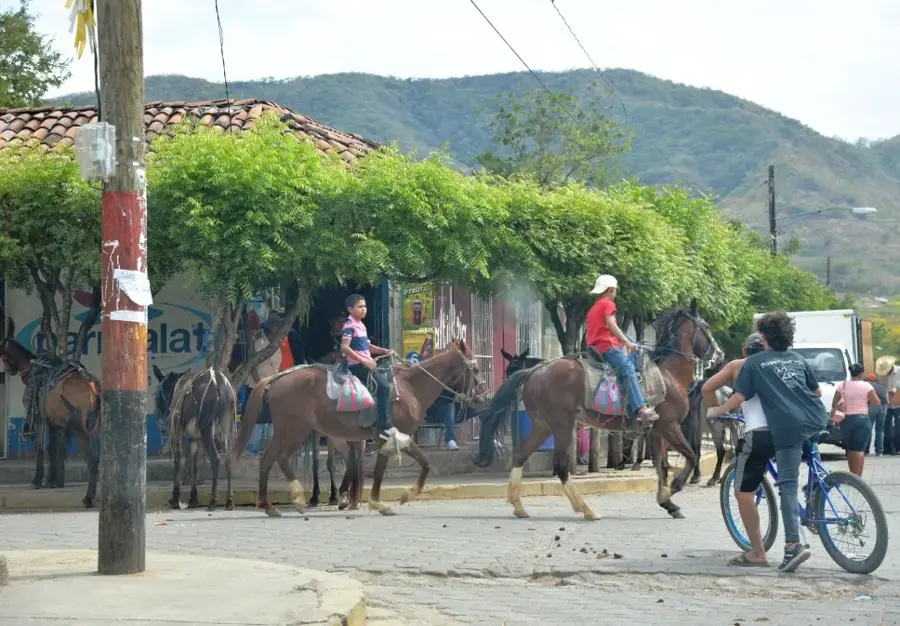
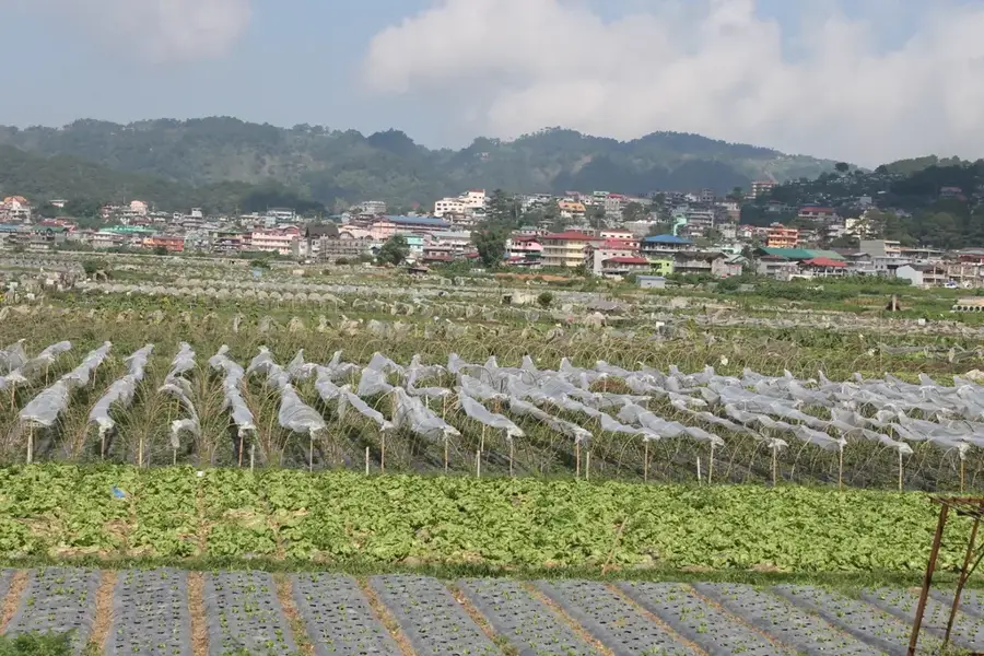
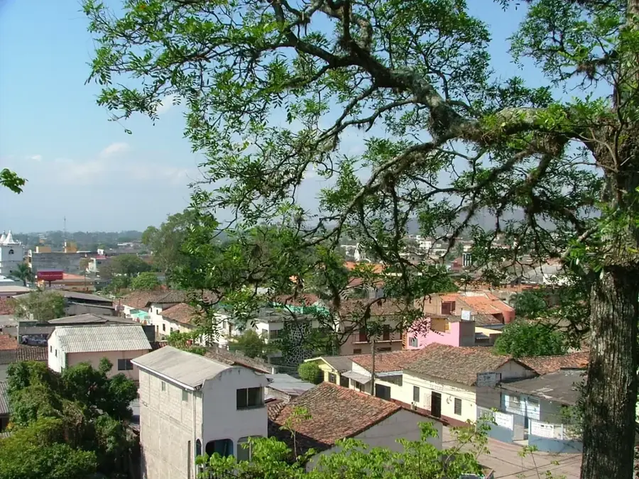
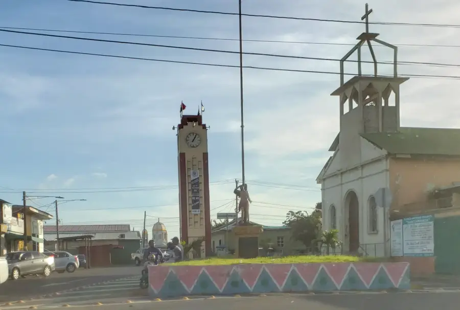
Telpaneca is a historically significant municipality in the Madriz department of northern Nicaragua, tucked away in the valley of the Coco River. Its name is derived from the Nahuatl language, meaning 'place of stone walls,' referencing pre-Columbian settlements of indigenous peoples like the Matagalpa. The official founding of the town took place in 1861, although the roots of the settlement extend deep into the colonial era. The town's architecture is defined by the San Juan Bautista church, a 19th-century structure considered cultural heritage. Geographically, Telpaneca is located in a mountainous region known for its cooler temperatures and fertile soils. The local economy is largely driven by the cultivation of high-quality highland coffee and basic staples such as corn and beans. Additionally, handicrafts, particularly pottery and textiles, play an important role in the local culture and economy.
- Location: Nicaragua
- Nearby: San Fernando (6 km)
- Population: ~2.037 (2026)
Best time to visit & climate
The most pleasant time to visit is Jan, Feb, Dec.
| Jan | Feb | Mar | Apr | May | Jun | Jul | Aug | Sep | Oct | Nov | Dec | |
|---|---|---|---|---|---|---|---|---|---|---|---|---|
| Avg °C | 22 | 23 | 25 | 26 | 25 | 24 | 23 | 24 | 23 | 23 | 22 | 22 |
| Rain mm | 8 | 8 | 11 | 37 | 167 | 201 | 106 | 132 | 215 | 204 | 43 | 26 |
Geography
Facts
- Telpaneca was officially recognized as a town on March 11, 1861.
- The municipality is situated at an average elevation of approximately 500 meters above sea level.
- The Coco River, the longest river in Central America, flows directly past the town.
- The San Juan Bautista church was completed in the year 1890.
- Coffee is the most important export product of the region, employing over 60% of the workforce.
- The climate is tropical savanna with an average annual temperature of 24 degrees Celsius.
Explore nearby
Notable places around
Route planner — Car & Motorhome
Where do you start? We build the route here, with stops and country notes along the way.
© OpenStreetMap contributors · OpenRouteService
Frequently asked questions
How long is a stay in Telpaneca recommended?
What is the best time to visit?
Is Telpaneca family-friendly?
How do I get to Telpaneca?
What culinary traditions are there here?
Telpaneca: where is it located?
Telpaneca: when is the best time to visit?
Telpaneca: why is it worth visiting?

Nearby cities

History & landmarks
Nature

More places