Plizio Visual Lab
Yalagüina
ℹ️Practical info — Yalagüina
▾
🌤 Weather — 5 days
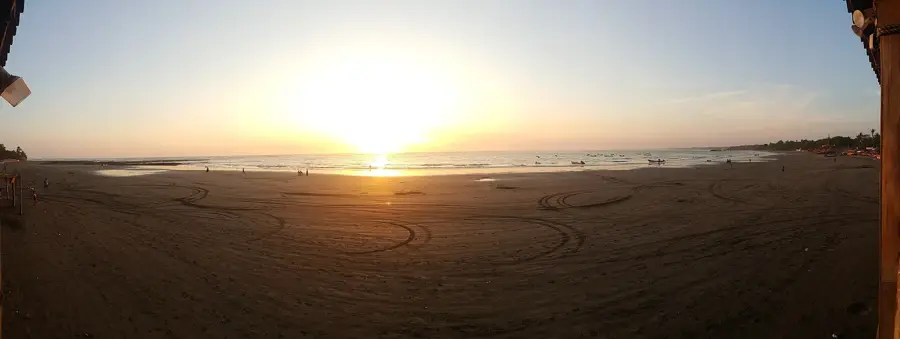
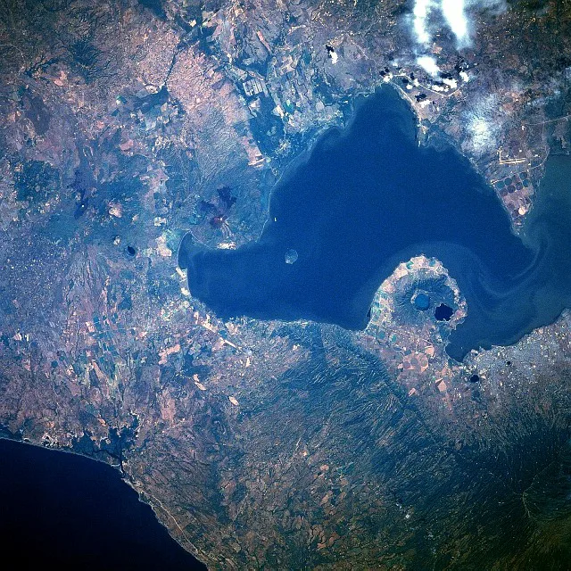
📍 Nearby
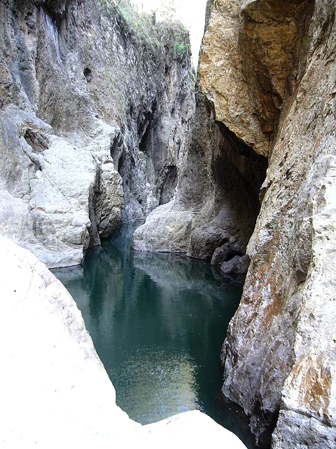
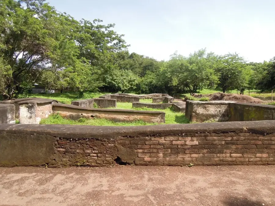
Sights nearby
💡 Tips
- Make sure to stop at the roadside stalls along the Pan-American highway to try the famous rosquillas (corn rings).
- Climb the Cerro de la Cruz on the outskirts for a great panoramic view of the Madriz valley.
- Use the frequent 'interurbano' buses traveling between Estelí and Somoto to reach the town easily.
- Visit the local bakeries in the morning when the fresh batches are coming out of the wood-fired ovens.
🍽 Food
Crunchy corn rings found in family-run bakeries along the main highway.
Strong local coffee, great for dipping your rosquillas into.
A sweet corn tortilla often served with fresh cheese at local eateries.
🛍 Shopping · 🧘 Quiet spots
The best place to buy bulk packs of rosquillas and viejitas for your journey.
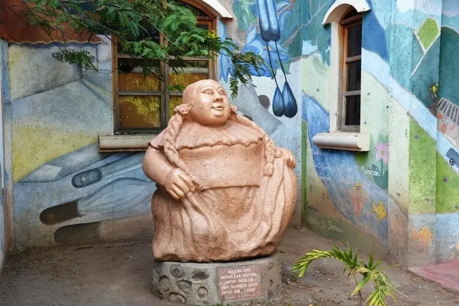
Small shops in the center selling pottery and woven goods from the Madriz region.
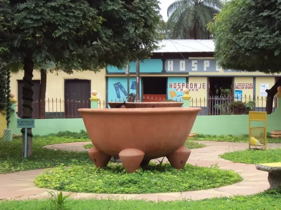
A shady and peaceful square in the heart of town, well-suited for relaxing.
A quiet viewpoint overlooking the town, excellent for a sunset walk.
Water temperature…
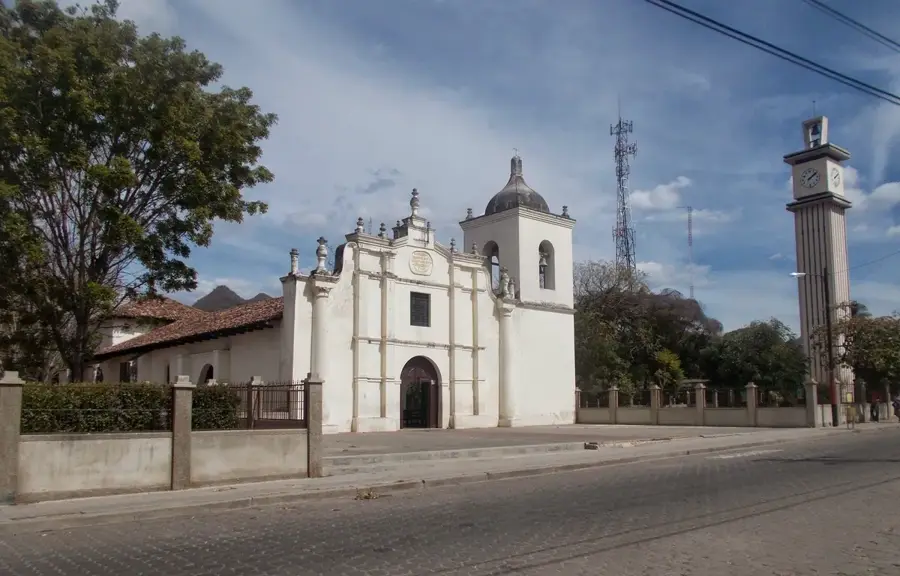
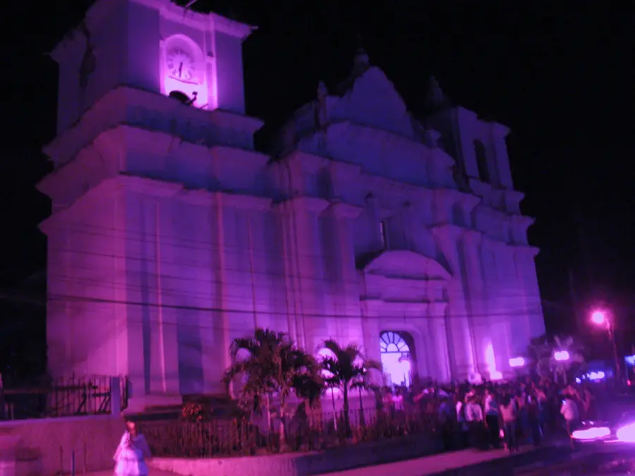
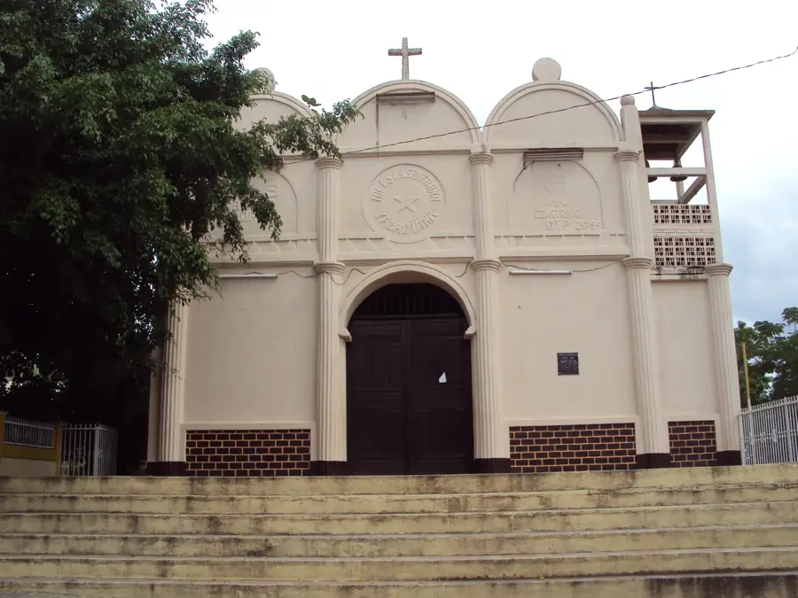
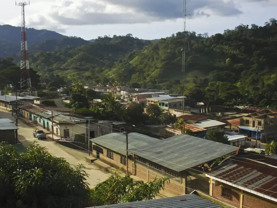
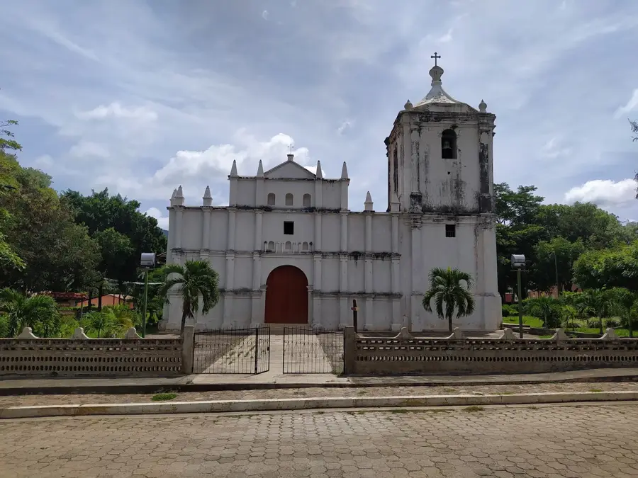
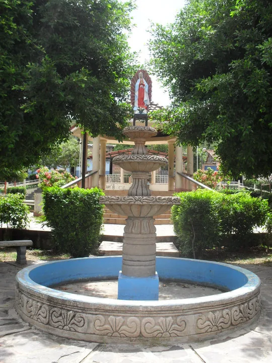
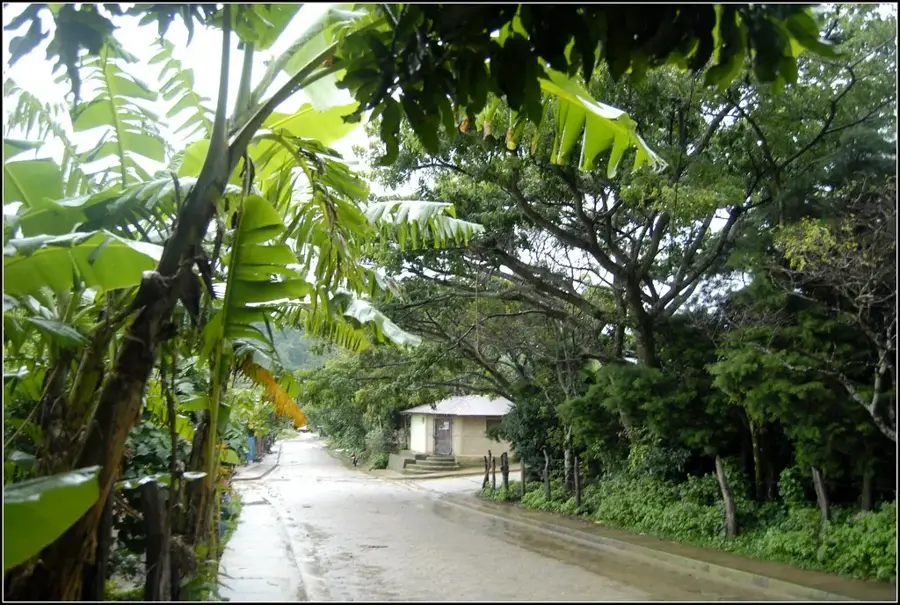
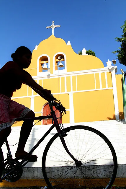
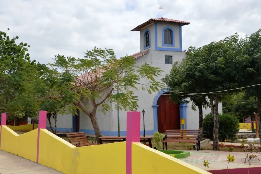
Yalagüina is a strategically located municipality in the Madriz department, situated at the intersection of the Pan-American Highway. Its name originates from the Nahuatl language and is most often translated as 'place of the deer,' hinting at the region's former abundance of wildlife. Historically, Yalagüina is significant for its role in the liberation struggles of the early 20th century and its deep indigenous roots. The area's geography is characterized by rolling hills and the dry climate of Nicaragua's northern region. Economically, the municipality focuses on the cultivation of corn and beans, as well as transit trade along the main highway. A prominent landmark is the colonial church, which has maintained its original character despite renovations. Today, Yalagüina serves as an important connection point between the provincial capital Somoto and the city of Estelí.
- Location: Nicaragua
- Nearby: Totogalpa (8 km)
- Population: ~2.265 (2026)
Best time to visit & climate
The most pleasant time to visit is Jan, Feb, Dec.
| Jan | Feb | Mar | Apr | May | Jun | Jul | Aug | Sep | Oct | Nov | Dec | |
|---|---|---|---|---|---|---|---|---|---|---|---|---|
| Avg °C | 22 | 23 | 25 | 26 | 25 | 24 | 23 | 24 | 23 | 23 | 22 | 22 |
| Rain mm | 8 | 8 | 11 | 37 | 167 | 201 | 106 | 132 | 215 | 204 | 43 | 26 |
Geography
Facts
- Yalagüina is located about 210 kilometers north of the capital, Managua.
- The municipality was officially founded in the year 1845.
- The town sits at an elevation of 683 meters above sea level.
- The climate is dry tropical, with temperatures ranging between 22 and 30 degrees Celsius.
- In Yalagüina, the roads to El Espino (Honduras) and Ocotal intersect.
- Local gastronomy is famous for corn-based specialties such as 'Güirilas'.
Explore nearby
Notable places around
Route planner — Car & Motorhome
Where do you start? We build the route here, with stops and country notes along the way.
© OpenStreetMap contributors · OpenRouteService
Frequently asked questions
How much time is needed for a visit to Yalagüina?
When is the weather best?
Is Yalagüina a place for families?
What is the best way to travel?
What is there to see in Yalagüina?
Yalagüina: where is it located?
Yalagüina: when is the best time to visit?
Yalagüina: why is it worth visiting?

Nearby cities


History & landmarks
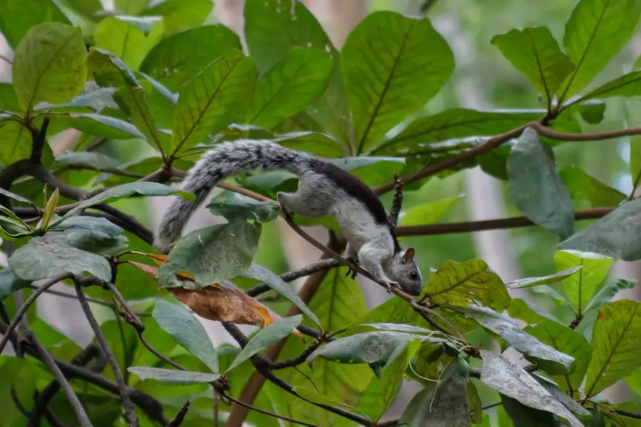
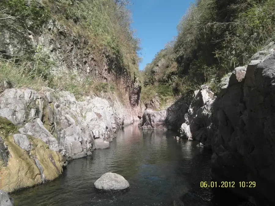
Nature
More places