Plizio Visual Lab
Cloud Forest
Weather…
Water temperature…
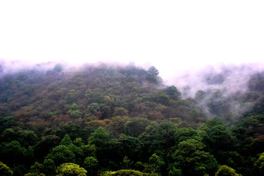
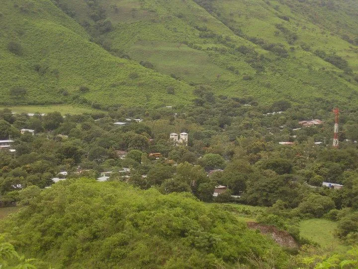
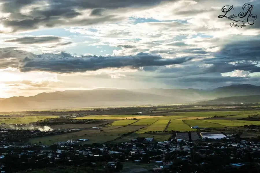
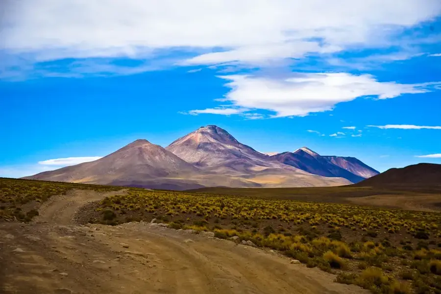
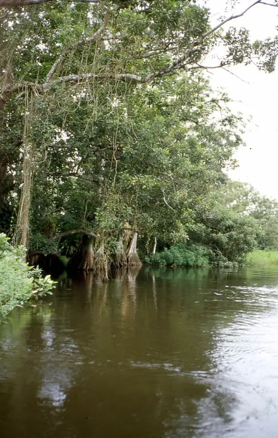
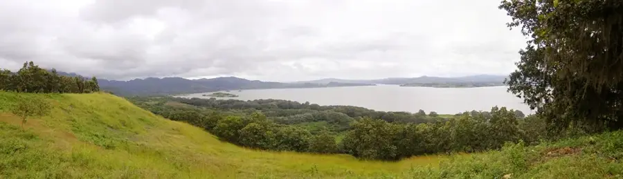
The Nicaraguan cloud forests, locally termed 'Selva de las Nubes,' are found at the highest elevations of the central and northern highlands, typically above 1,200 meters. These ecosystems are defined by near-constant mist cover and high humidity, fostering a lush environment rich in epiphytes, mosses, and giant ferns. A prime example is the Datanlí-El Diablo Nature Reserve in Jinotega, which performs a critical function in the region's water cycle and hydrological balance. The forests are home to rare wildlife, including the resplendent quetzal and dozens of hummingbird species. Historically, these rugged and inaccessible areas provided sanctuary for indigenous tribes and played a role during 19th-century independence struggles. Today, they are focal points for ecotourism and international efforts to protect Central American biological corridors. Preserving these forests is essential for regulating regional microclimates and safeguarding endangered botanical species.
- Location: Nicaragua
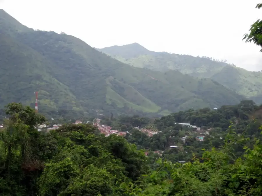
- Nearby: Quilalí (7 km)
Best time to visit & climate
The most pleasant time to visit is Jan, Feb, Dec.
| Jan | Feb | Mar | Apr | May | Jun | Jul | Aug | Sep | Oct | Nov | Dec | |
|---|---|---|---|---|---|---|---|---|---|---|---|---|
| Avg °C | 23 | 24 | 25 | 27 | 26 | 24 | 24 | 24 | 24 | 23 | 22 | 22 |
| Rain mm | 4 | 4 | 10 | 35 | 184 | 211 | 105 | 145 | 259 | 242 | 42 | 17 |
📋 Practical info
Geography
Facts
- Minimum elevation: 1,200 meters above sea level
- Primary locations: Jinotega and Matagalpa departments
- Flagship species: Resplendent Quetzal
- Characterized by high density of epiphytes
- Acts as a primary watershed for the region
- Integral part of the Mesoamerican Biological Corridor
Explore nearby
Notable places around
Route planner — Car & Motorhome
Where do you start? We build the route here, with stops and country notes along the way.
© OpenStreetMap contributors · OpenRouteService
Sights nearby
Frequently asked questions
Why is it called cloud forest?
What clothing is needed?
Is hiking strenuous?
Can you observe animals?
Is there a best time?
Cloud Forest: where is it located?
Cloud Forest: when is the best time to visit?
Cloud Forest: why is it worth visiting?

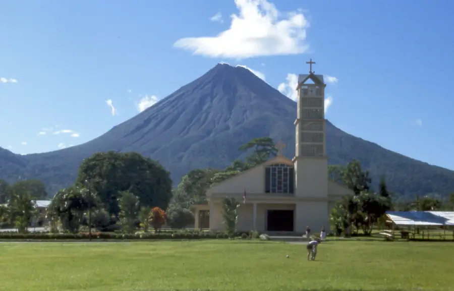
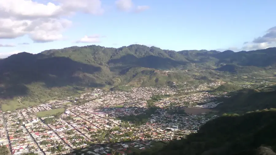
Nearby cities


History & landmarks

Nature
More places