Plizio Visual Lab
Mount Kilambé

Weather…
Water temperature…
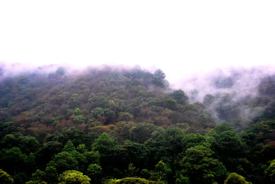
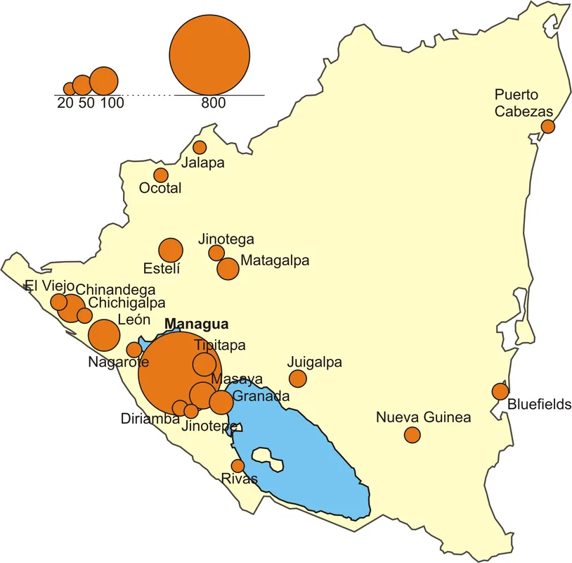
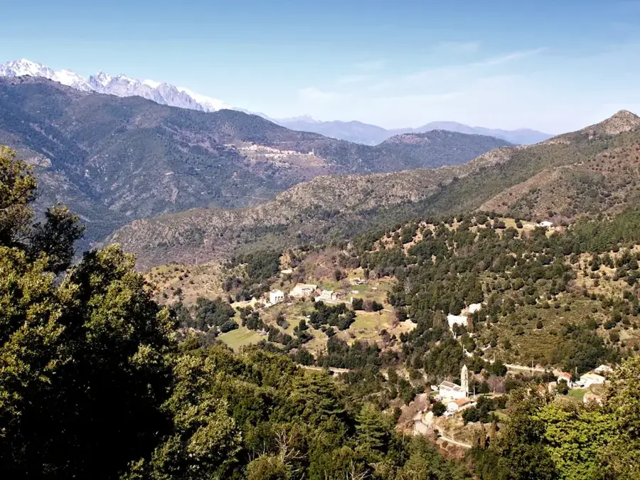
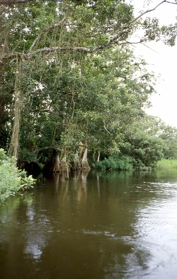
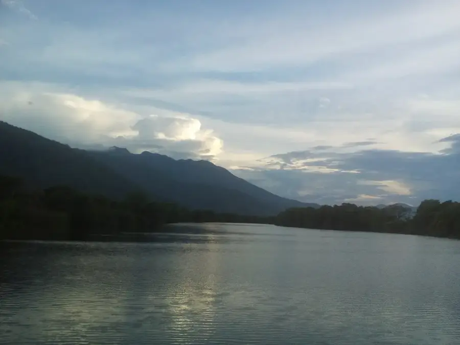
Cerro Kilambé is a massive mountain range in the Jinotega department of Nicaragua, reaching an altitude of approximately 1,750 meters. It forms the core of the Cerro Kilambé Nature Reserve, which represents one of the most critical water reservoirs for the surrounding municipalities of Wiwilí and El Cuá. The mountain is characterized by a rugged terrain featuring deep ravines and dense cloud forests that harbor immense biodiversity. Historically, Kilambé was a strategically contested area during the 1980s due to its remote location and proximity to the northern border. Its flora consists of mixed oak and pine forests at lower elevations, transitioning to primary cloud forest at the summit. The area is home to endangered species such as the jaguar and the Central American tapir. Today, the preservation of this massif is essential for climate regulation and the long-term water security of northern Nicaragua.
- Location: Nicaragua
- Nearby: Muy Muy (7 km)
Best time to visit & climate
The most pleasant time to visit is Jan, Feb, Dec.
| Jan | Feb | Mar | Apr | May | Jun | Jul | Aug | Sep | Oct | Nov | Dec | |
|---|---|---|---|---|---|---|---|---|---|---|---|---|
| Avg °C | 23 | 24 | 25 | 26 | 26 | 24 | 24 | 24 | 24 | 23 | 23 | 23 |
| Rain mm | 15 | 13 | 14 | 32 | 144 | 182 | 118 | 127 | 181 | 180 | 52 | 29 |
📋 Practical info
Geography
Facts
- Elevation: approximately 1,750 meters
- Status: Cerro Kilambé Nature Reserve
- Location: Jinotega Department
- Function: Key water source for Wiwilí area
- Wildlife: Habitat for jaguars and tapirs
- Vegetation: Primary cloud forest at the peak
Explore nearby
Notable places around
Route planner — Car & Motorhome
Where do you start? We build the route here, with stops and country notes along the way.
© OpenStreetMap contributors · OpenRouteService
Sights nearby
Frequently asked questions
Is the mountain suitable for beginners?
When is the best time to climb?
Do you need to register the climb?
Are there mountain huts?
What is the weather risk?
Mount Kilambé: where is it located?
Mount Kilambé: when is the best time to visit?
Mount Kilambé: why is it worth visiting?

Nearby cities


Nature
More places