Plizio Visual Lab
Totogalpa
ℹ️Practical info — Totogalpa
▾
🌤 Weather — 5 days
📍 Nearby
Sights nearby
💡 Tips
- Visit the 'Henequén' artisan workshops to see how agave fibers are woven into bags and hats.
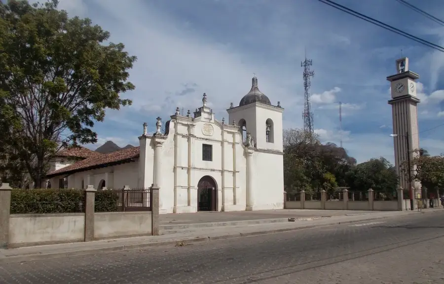
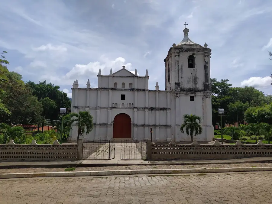
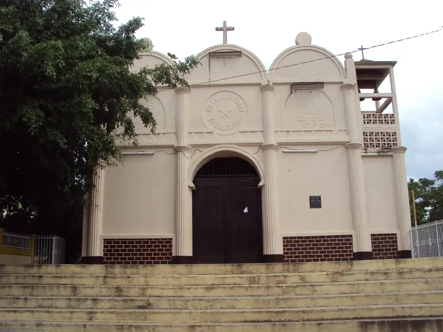
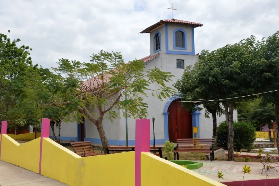
- Admire the colonial architecture of the Santa María de Totogalpa church in the main square.
- Be respectful of the Chorotega indigenous community's customs and local traditions.
- Plan your visit for Sunday to see the local market at its most lively.
🍽 Food
Sweet corn tortillas typically served with fresh salty cheese.
A refreshing traditional drink made from toasted corn and cacao.
Fresh local cheese, a staple of the Chorotega diet.
🛍 Shopping · 🧘 Quiet spots
Bags, hats, and hammocks made from agave fibers, the town's specialty.
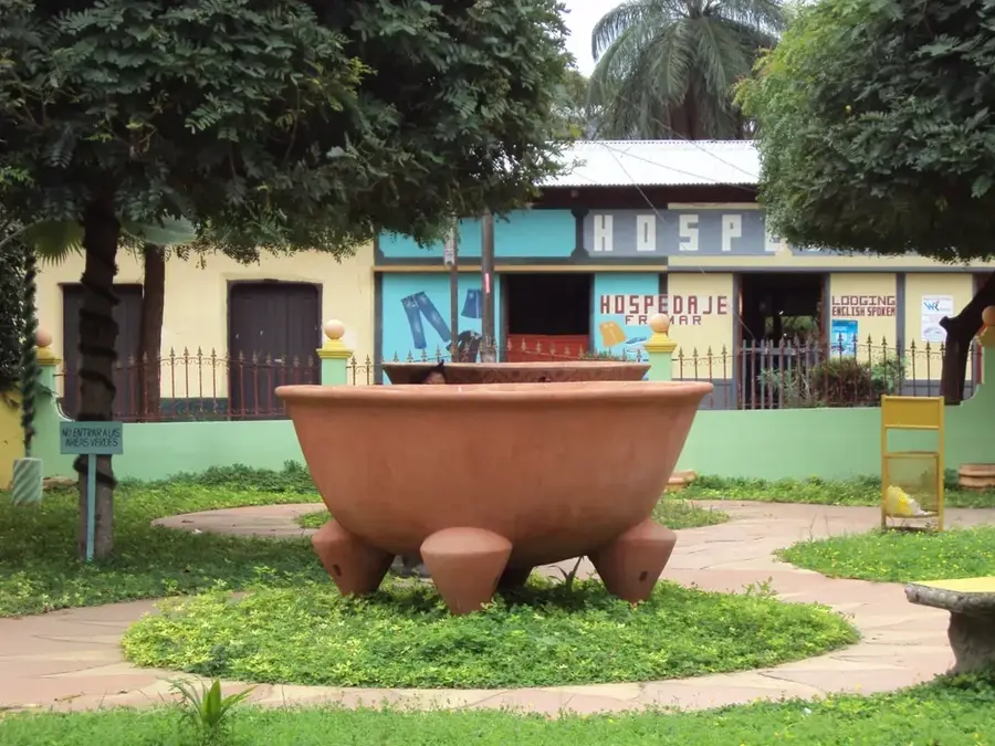
Handmade clay pots and vessels created using ancient indigenous techniques.
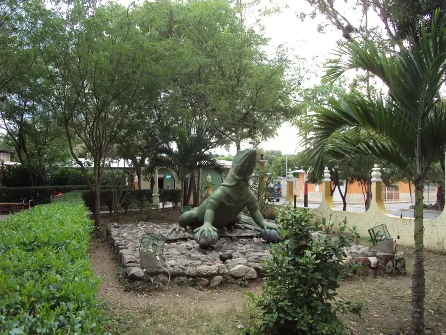
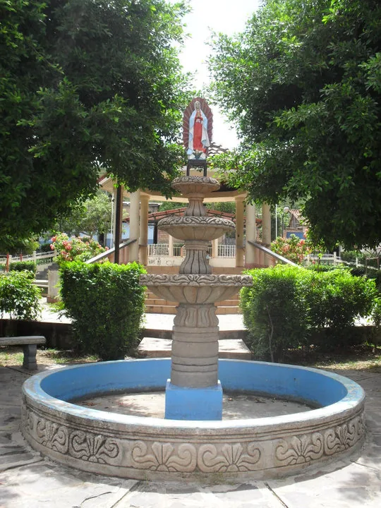
A peaceful spot to sit and admire the colonial facade away from the sun.
Small trails leading into the hills offer quiet spots with panoramic views.
Water temperature…
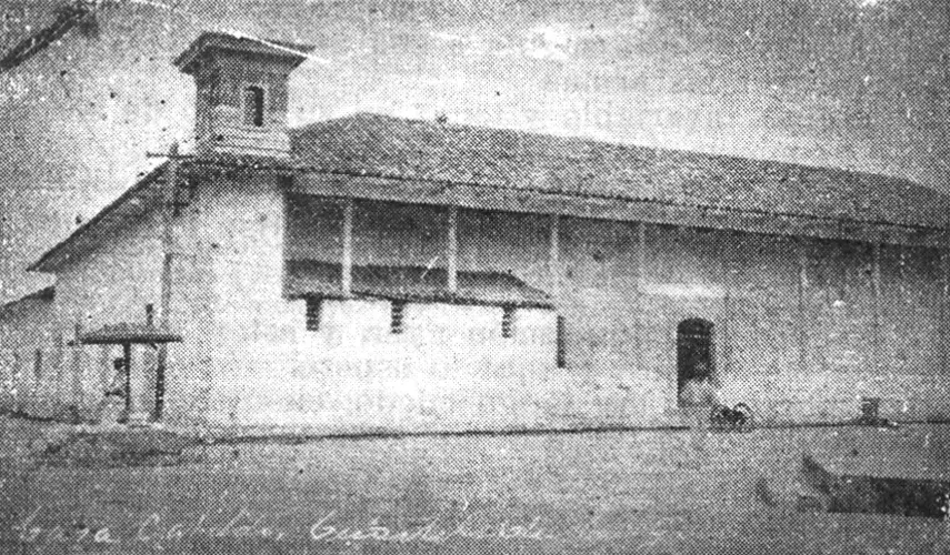
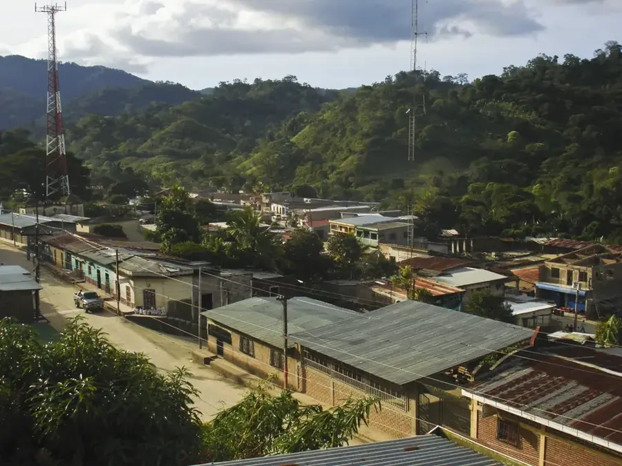
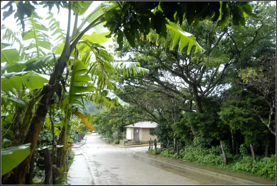
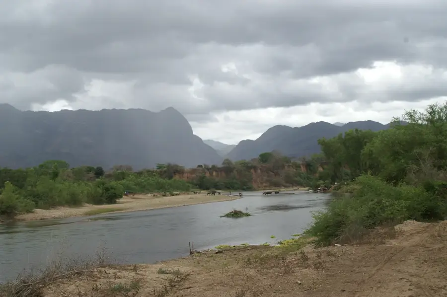
Totogalpa is a photogenic municipality in northern Nicaragua, known for its rich indigenous heritage and well-preserved colonial architecture. Its name comes from Nahuatl and means 'bird on the rock,' reflecting the town's hilly and rocky environment. The centerpiece of the community is the Santa María de Magdalena church, built in the 18th century, an architectural jewel of the late colonial period with a distinctive facade. Geographically, Totogalpa is located in a semi-arid zone where agriculture is dominated by the cultivation of henequen (sisal agave) and basic staples. The indigenous community plays a central role in the town's administration and cultural life, with traditional techniques in weaving and pottery still practiced today. Totogalpa has positioned itself as a center for sustainable tourism and artisanal excellence.
- Location: Nicaragua
- Nearby: Condega (4 km)
- Population: ~2.265 (2026)
Best time to visit & climate
The most pleasant time to visit is Jan, Feb, Dec.
| Jan | Feb | Mar | Apr | May | Jun | Jul | Aug | Sep | Oct | Nov | Dec | |
|---|---|---|---|---|---|---|---|---|---|---|---|---|
| Avg °C | 22 | 23 | 25 | 26 | 25 | 24 | 23 | 24 | 23 | 23 | 22 | 22 |
| Rain mm | 8 | 8 | 11 | 37 | 167 | 201 | 106 | 132 | 215 | 204 | 43 | 26 |
Geography
Facts
- Totogalpa is situated at an elevation of approximately 650 meters above sea level.
- The Santa María de Magdalena church was consecrated in the year 1720.
- The town is famous for its artisans who process fibers from the henequen agave.
- The municipality is located directly on the Pan-American Highway, north of Yalagüina.
- There is an indigenous parliament that co-manages local affairs.
- The annual rainfall is among the lowest in the Madriz department.
Explore nearby
Notable places around
Route planner — Car & Motorhome
Where do you start? We build the route here, with stops and country notes along the way.
© OpenStreetMap contributors · OpenRouteService
Frequently asked questions
How much time should I plan for Totogalpa?
When is the weather best in Totogalpa?
Is the place suitable for families?
How do I get to Totogalpa?
What characterizes Totogalpa?
Totogalpa: where is it located?
Totogalpa: when is the best time to visit?
Totogalpa: why is it worth visiting?

Nearby cities


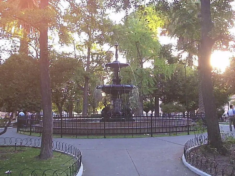

History & landmarks
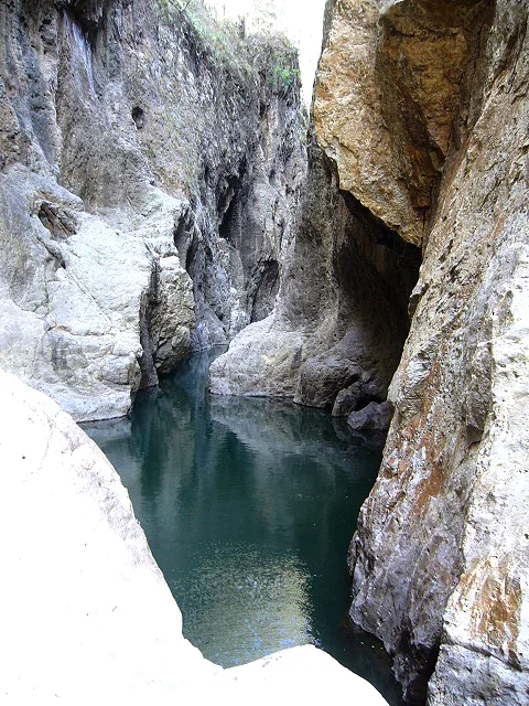
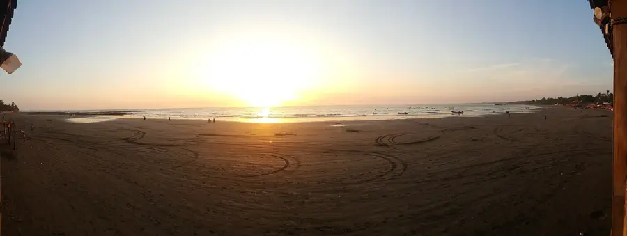
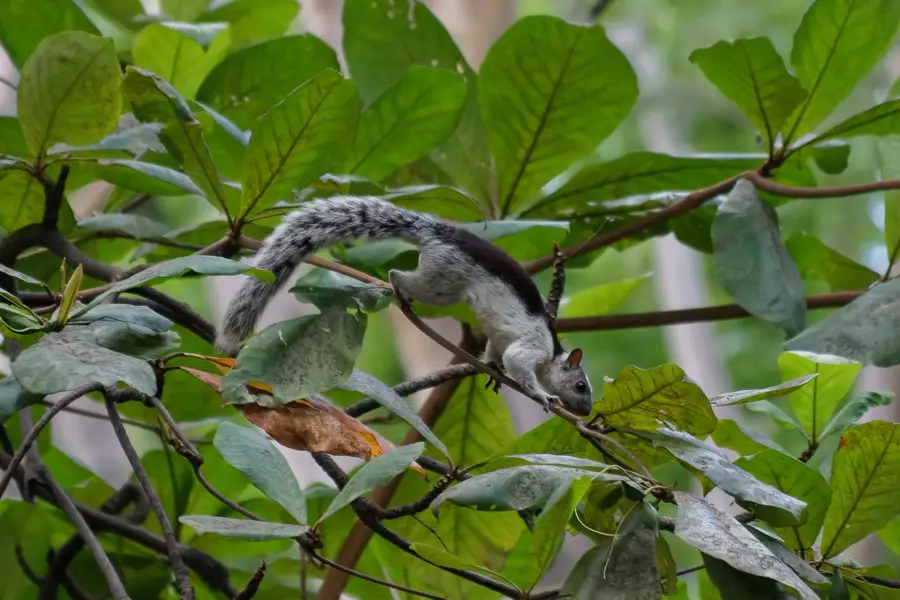
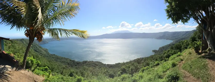
Nature
More places