Plizio Visual Lab
Lake Apanás
Weather…
Water temperature…
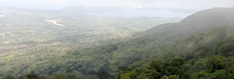
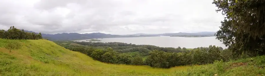
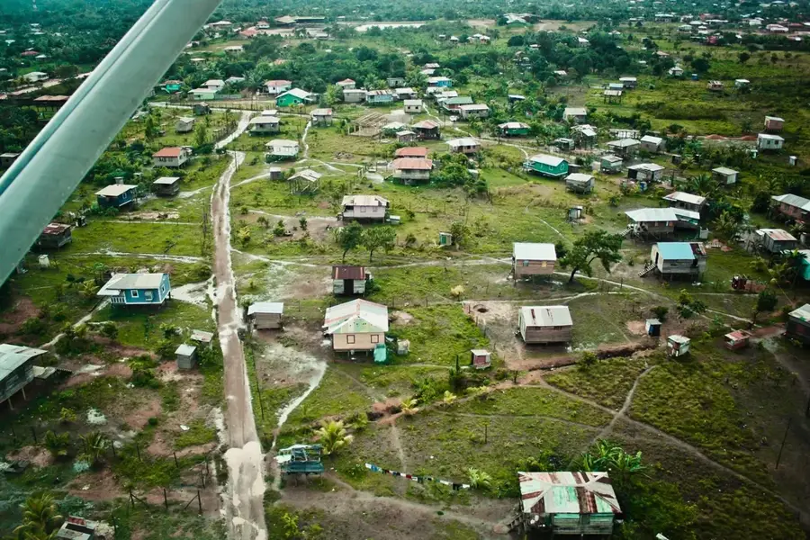
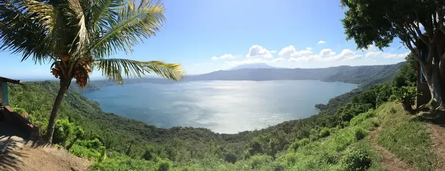
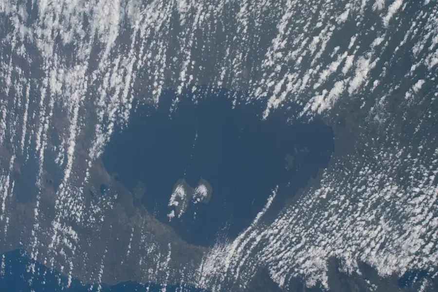
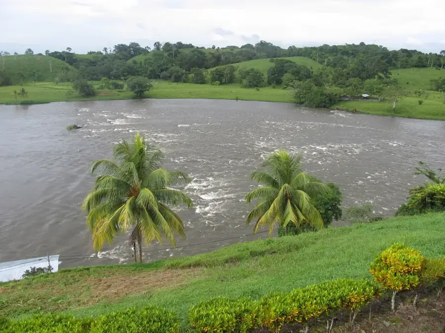
Lake Apanás is Nicaragua's largest artificial reservoir, located in the department of Jinotega and created in 1964 through the damming of the Tuma River. The primary purpose of this massive engineering project was to supply water to the Centroamérica hydroelectric plant, which remains a cornerstone of the nation's renewable energy production. Covering an area of approximately 54 square kilometers, the lake sits in the cool, mountainous highlands at an elevation of about 950 meters above sea level. Despite its man-made origins, the lake has evolved into a vital ecological sanctuary and was designated as a RAMSAR Wetland of International Importance in 2001. It serves as a critical stopover for migratory bird species and supports a wide variety of native freshwater fish and aquatic flora. The surrounding region is famous for its high-altitude coffee plantations and lush vegetation, providing a stark contrast to the drier Pacific lowlands. For the local community, Lake Apanás is an essential resource for artisanal fishing, agriculture, and a growing ecotourism industry focused on birdwatching and boating.
- Location: Nicaragua
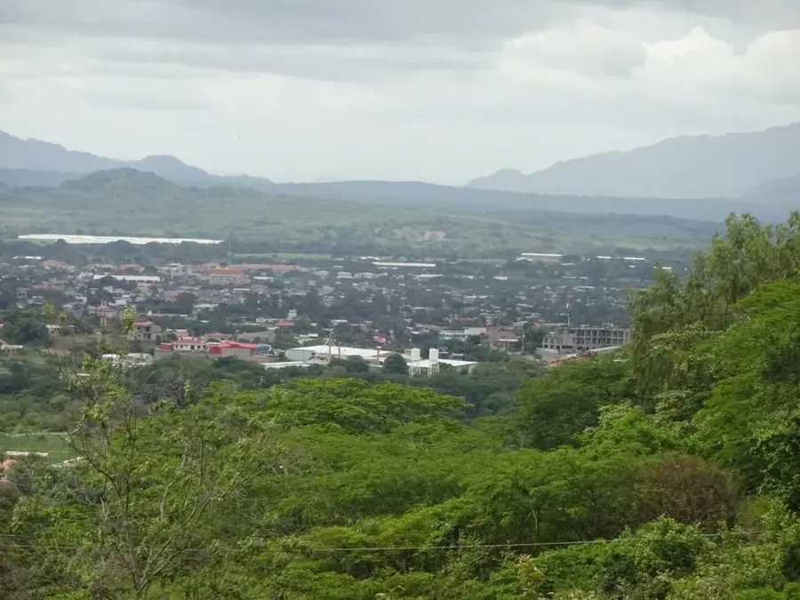
- Nearby: Quilalí (6 km)
Best time to visit & climate
The most pleasant time to visit is Jan, Feb, Dec.
| Jan | Feb | Mar | Apr | May | Jun | Jul | Aug | Sep | Oct | Nov | Dec | |
|---|---|---|---|---|---|---|---|---|---|---|---|---|
| Avg °C | 23 | 24 | 25 | 27 | 26 | 24 | 24 | 24 | 24 | 23 | 22 | 22 |
| Rain mm | 4 | 4 | 10 | 35 | 184 | 211 | 105 | 145 | 259 | 242 | 42 | 17 |
📋 Practical info
Geography
Facts
- The lake was created in 1964 by the construction of the Mancotal Dam.
- It covers a total surface area of approximately 54 square kilometers.
- The reservoir is situated at an elevation of 950 meters above sea level.
- It was officially designated a RAMSAR site in November 2001.
- The lake provides the water source for the Centroamérica power plant.
- Apanás is home to over 150 species of resident and migratory birds.
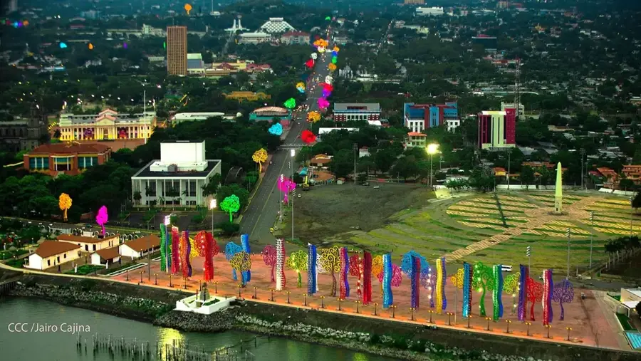
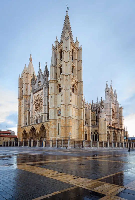
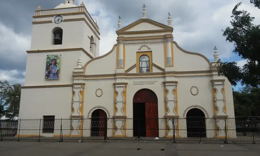
Explore nearby
Notable places around
Route planner — Car & Motorhome
Where do you start? We build the route here, with stops and country notes along the way.
© OpenStreetMap contributors · OpenRouteService
Sights nearby
Frequently asked questions
Can you swim in the lake?
Is there water sports rental?
Is the lake family-friendly?
Best time for birdwatching?
How to get there from the city center?
Lake Apanás: where is it located?
Lake Apanás: when is the best time to visit?
Lake Apanás: why is it worth visiting?

Nearby cities
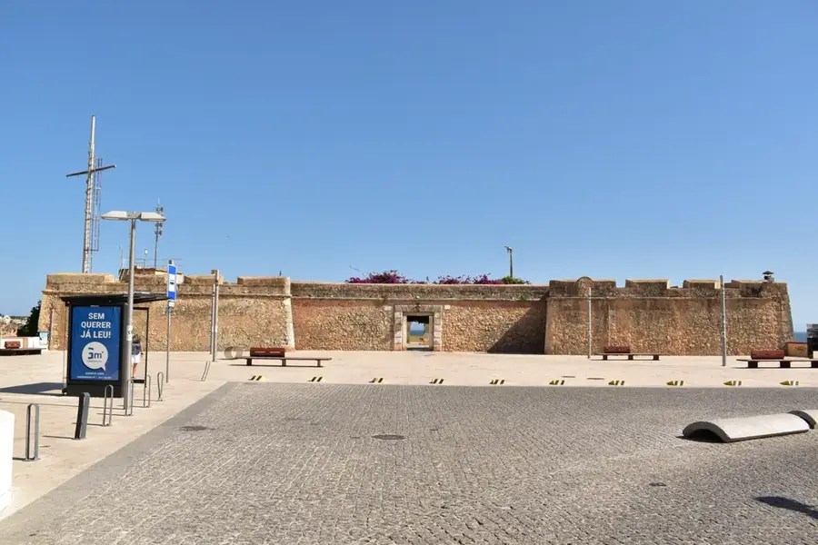
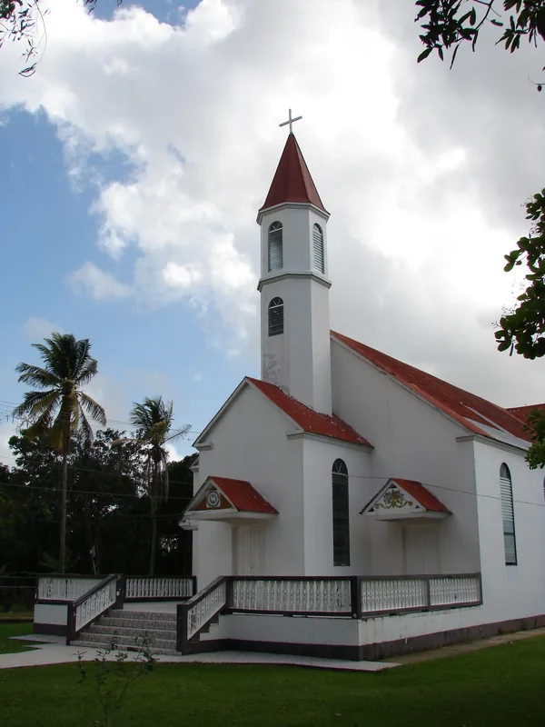
History & landmarks
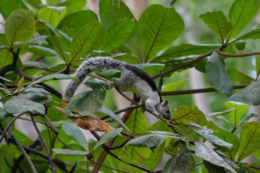
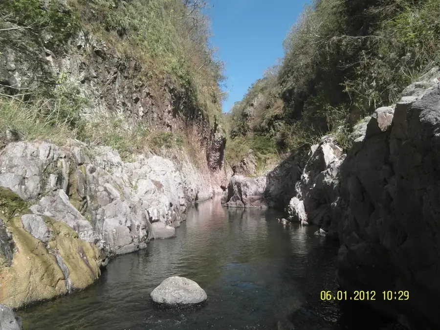
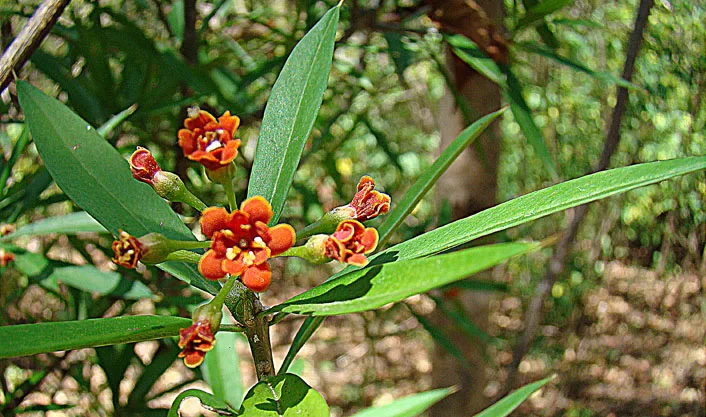
Nature
More places