Plizio Visual Lab
Sébaco Valley
Weather…
Water temperature…
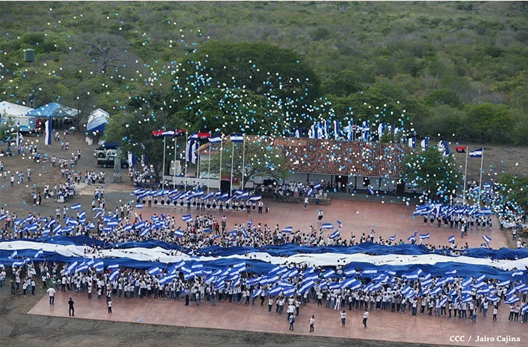
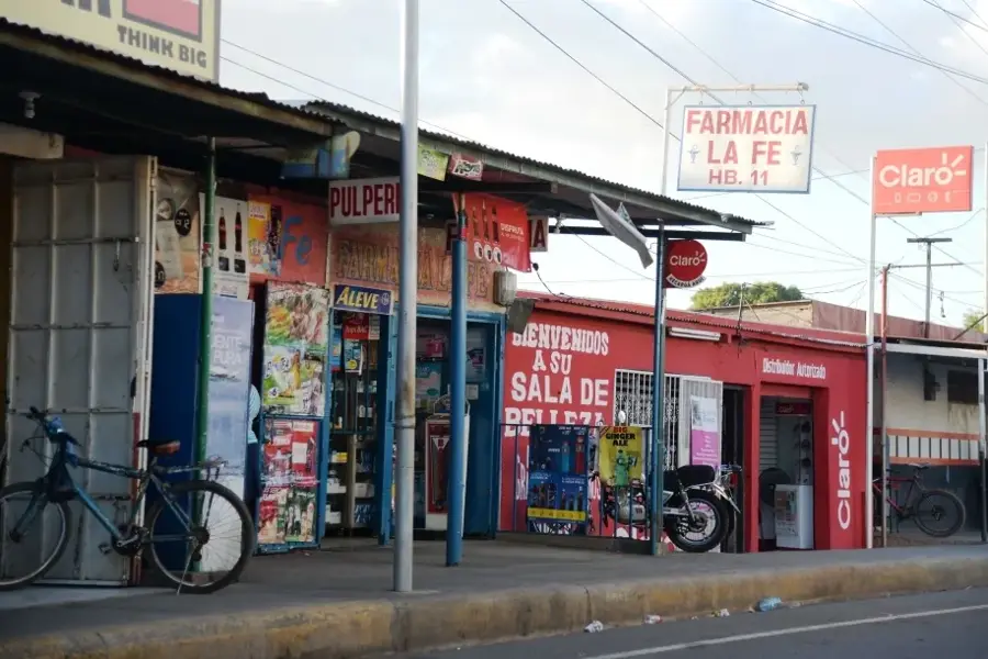
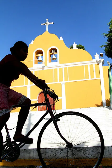
The Sébaco Valley is located in the Matagalpa department within the central highlands of Nicaragua, sitting at an average elevation of about 450 meters above sea level. It is recognized as one of the most fertile regions in Central America, characterized by rich alluvial soils deposited by the Río Grande de Matagalpa and Río Viejo. Historically, the valley served as a major settlement area for indigenous groups long before the Spanish colonial era. Today, the region is a vital agricultural powerhouse for Nicaragua, leading the nation in the production of onions, rice, and beans. Its strategic location at the junction of several primary highways makes it a critical commercial and logistics hub for northern Nicaragua. The valley's semi-arid climate has necessitated the implementation of extensive irrigation networks to maintain productivity throughout the dry season.
- Location: Nicaragua
- Nearby: San Dionisio (6 km)
Best time to visit & climate
The most pleasant time to visit is Jan, Feb, Dec.
| Jan | Feb | Mar | Apr | May | Jun | Jul | Aug | Sep | Oct | Nov | Dec | |
|---|---|---|---|---|---|---|---|---|---|---|---|---|
| Avg °C | 23 | 24 | 25 | 27 | 26 | 24 | 24 | 24 | 24 | 23 | 22 | 22 |
| Rain mm | 4 | 4 | 10 | 35 | 184 | 211 | 105 | 145 | 259 | 242 | 42 | 17 |
📋 Practical info
Geography
Facts
- Average elevation: 450 meters
- Primary rivers: Río Grande de Matagalpa and Río Viejo
- Top onion-producing region in Nicaragua
- Geological formation: Tectonic rift valley
- Major transportation hub for Northern Nicaragua
- Settled by indigenous groups in the pre-Columbian era
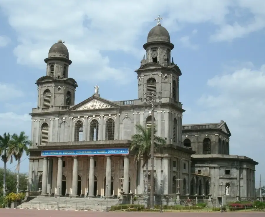
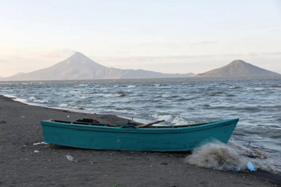
Explore nearby
Notable places around
Route planner — Car & Motorhome
Where do you start? We build the route here, with stops and country notes along the way.
© OpenStreetMap contributors · OpenRouteService
Sights nearby
Frequently asked questions
What can you do in the valley?
Is it an important agricultural area?
When is the best time to travel?
Are there budget hotels?
Is it suitable for families?
Sébaco Valley: where is it located?
Sébaco Valley: when is the best time to visit?
Sébaco Valley: why is it worth visiting?

Nearby cities

Nature
More places