Plizio Visual Lab
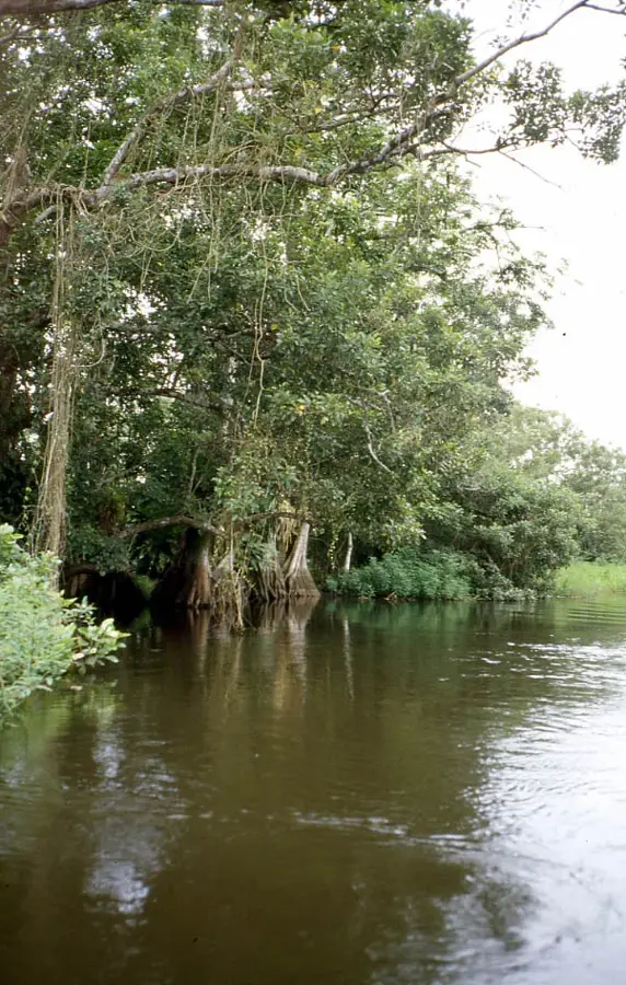
Bocay River
Weather…
Water temperature…
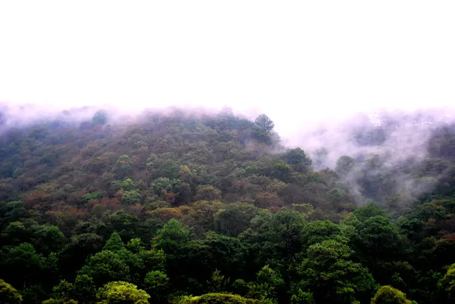
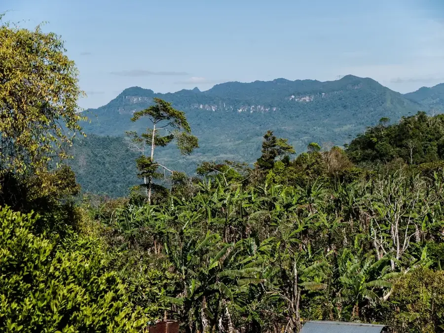
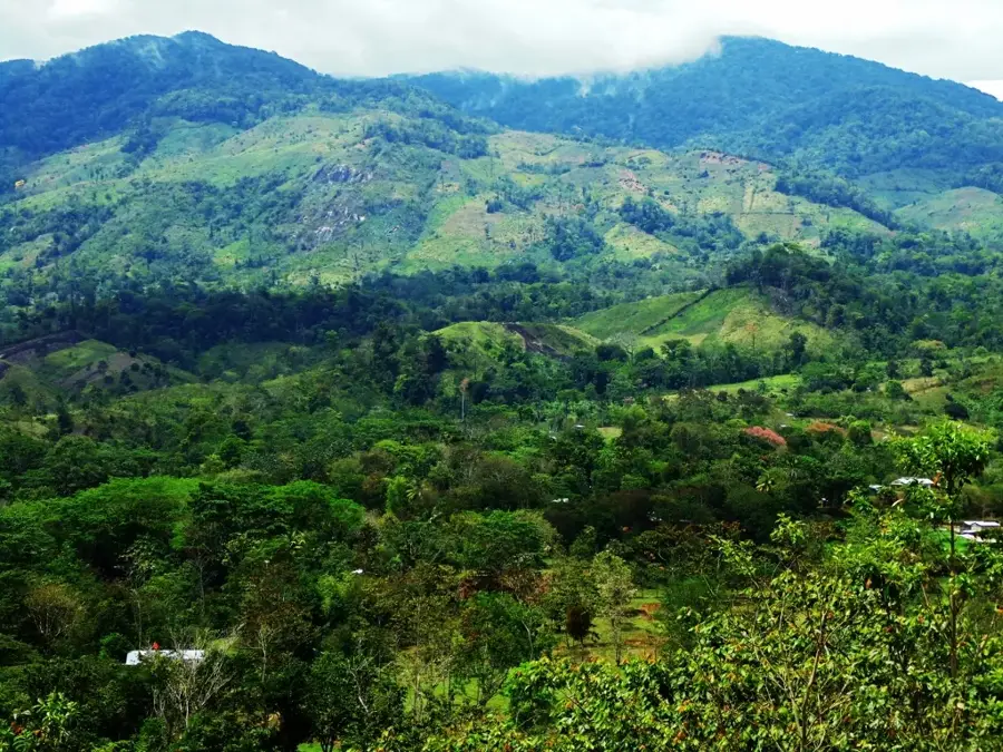
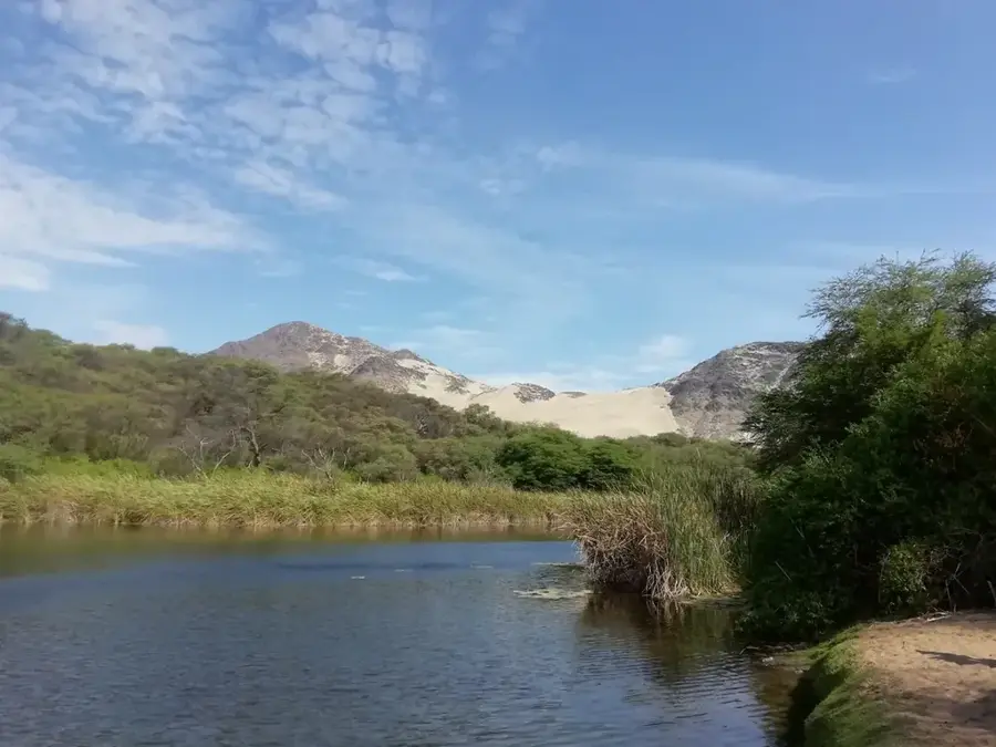
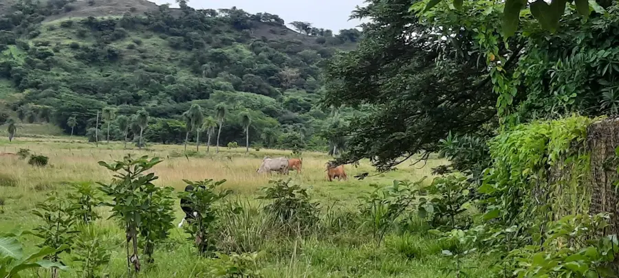
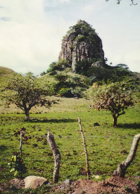
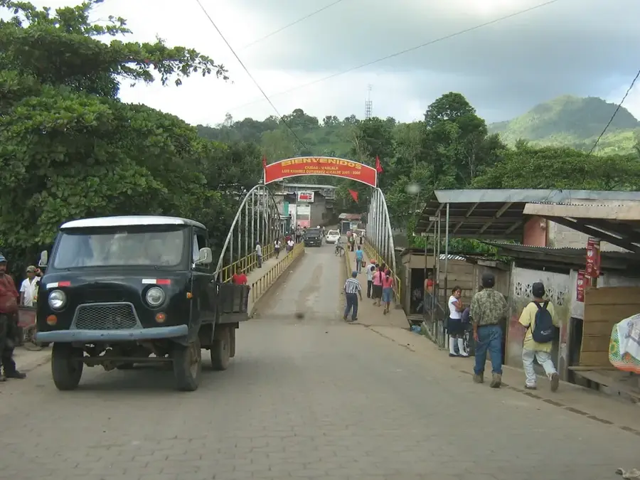
The Río Bocay is a significant river in northern Nicaragua, flowing primarily through the Jinotega Department. It originates in the rugged highlands of the Cordillera Isabelia and flows northward until it merges with the Coco River, the longest river in Central America. The river traverses remote and ecologically sensitive areas, including parts of the Bosawás Biosphere Reserve, one of the largest contiguous rainforest areas north of the Amazon. Historically, the Bocay Valley was the scene of major events during the conflicts of the 1980s, but today it is primarily known for its natural splendor and the indigenous Miskito and Mayangna communities living along its banks. The river's geography is characterized by swift currents in its upper reaches and broader, calmer sections downstream. The Río Bocay serves as a vital transportation artery for isolated villages that are often only accessible by boat. Preserving the river is closely linked to the protection of the Bosawás Reserve and sustainable water resource management.
- Location: Nicaragua
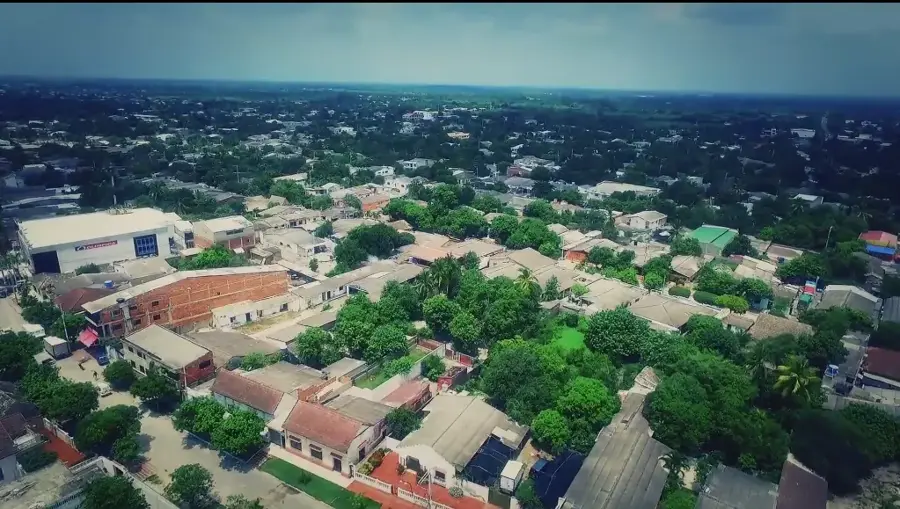
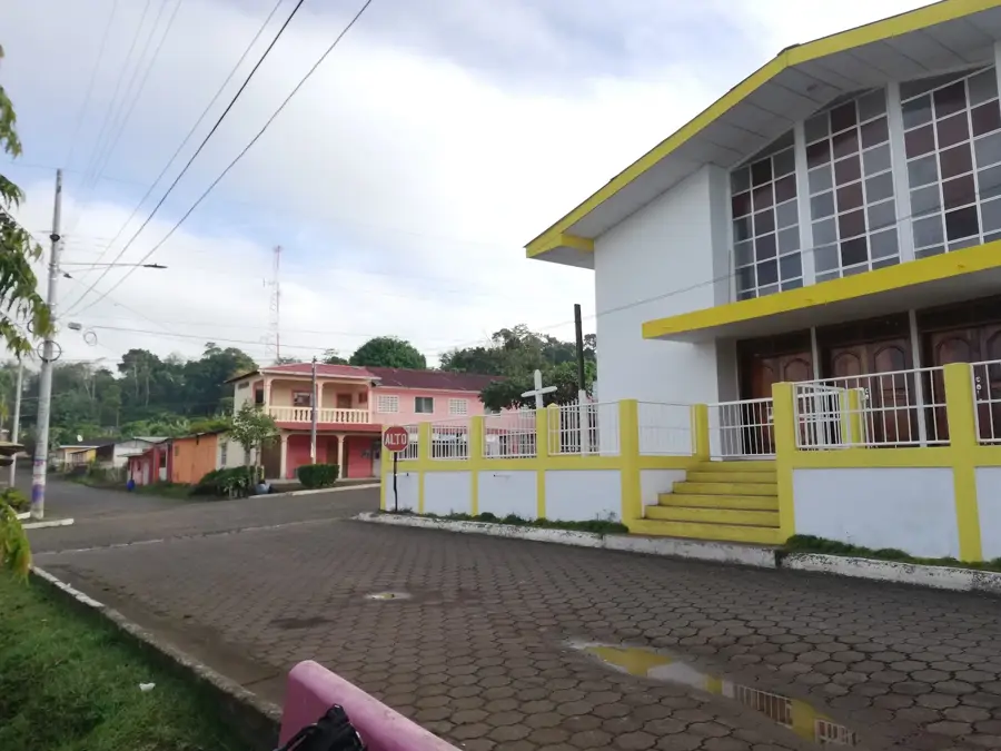
- Nearby: Santo Domingo (12 km)
Best time to visit & climate
The most pleasant time to visit is Jan, Feb, Dec.
| Jan | Feb | Mar | Apr | May | Jun | Jul | Aug | Sep | Oct | Nov | Dec | |
|---|---|---|---|---|---|---|---|---|---|---|---|---|
| Avg °C | 24 | 25 | 26 | 28 | 27 | 26 | 25 | 26 | 25 | 25 | 24 | 24 |
| Rain mm | 38 | 28 | 23 | 30 | 124 | 173 | 149 | 139 | 149 | 189 | 97 | 53 |
📋 Practical info
Geography
Facts
- The Río Bocay originates in the Cordillera Isabelia range in Jinotega.
- It flows into the Coco River at the border with Honduras.
- The river passes through the core of the Bosawás Biosphere Reserve.
- Boats are the primary mode of transportation for communities along the river.
- The Bocay Valley is home to significant populations of the Mayangna people.
- The river spans a total length of approximately 120 kilometers.
Explore nearby
Notable places around
Route planner — Car & Motorhome
Where do you start? We build the route here, with stops and country notes along the way.
© OpenStreetMap contributors · OpenRouteService
Sights nearby
Frequently asked questions
Is the Río Bocay safe for tourists?
What kind of accommodations are there?
What equipment do I need?
Are there many mosquitoes?
When is the best time to travel?
Bocay River: where is it located?
Bocay River: when is the best time to visit?
Bocay River: why is it worth visiting?

Nearby cities

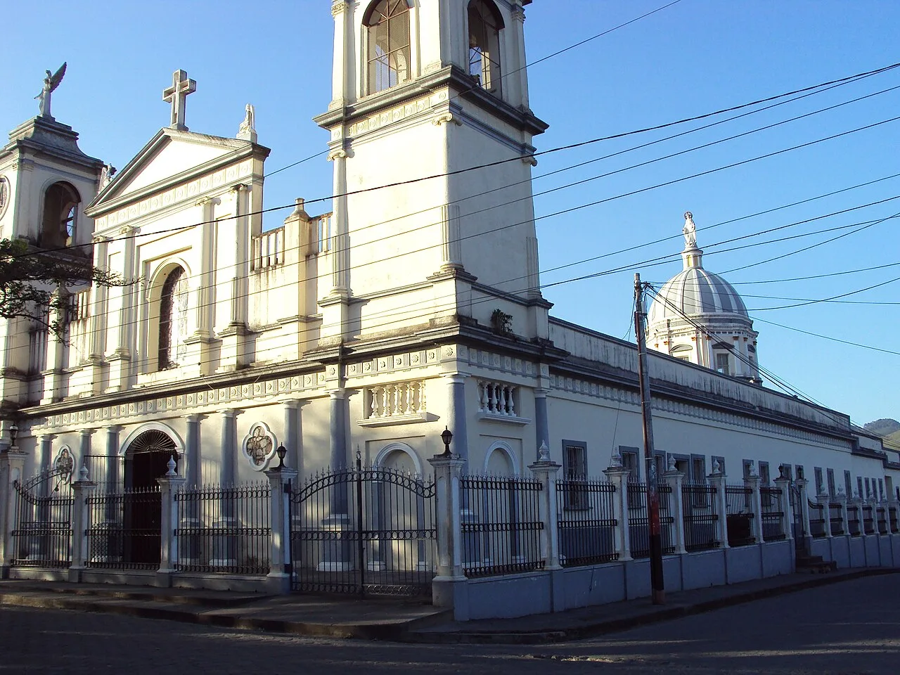
History & landmarks
Nature
More places