Plizio Visual Lab
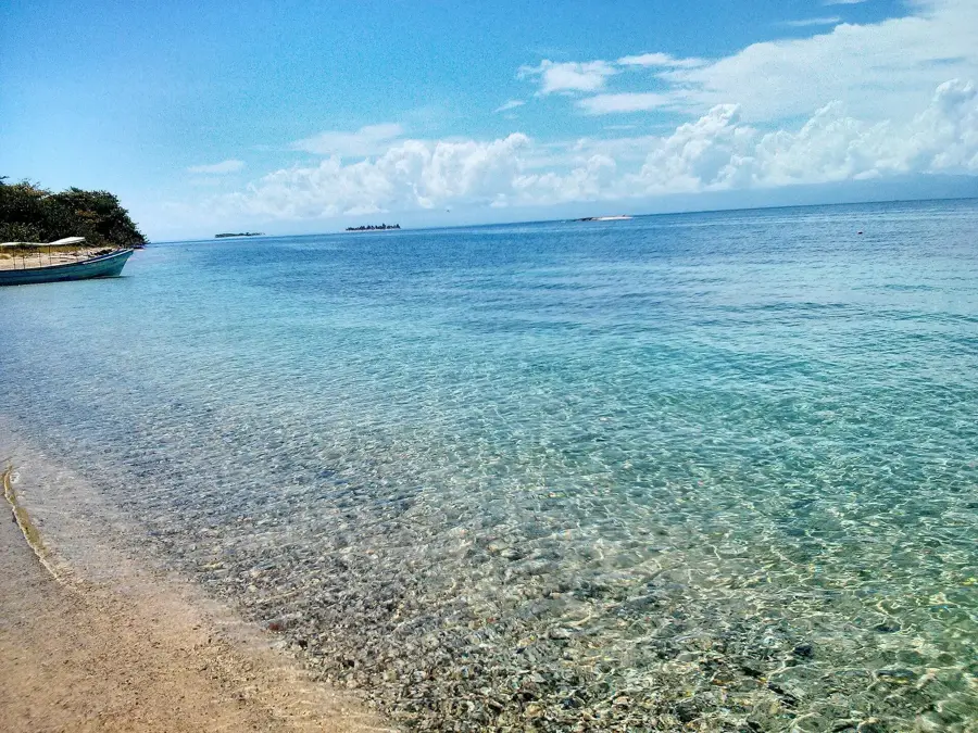
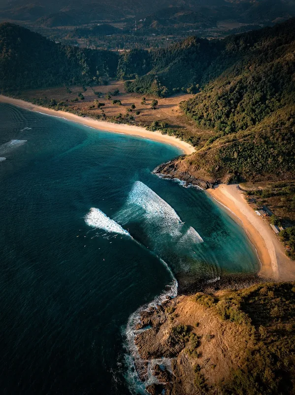
Caribbean Sea (Honduras Coast)
Weather…
Water temperature…
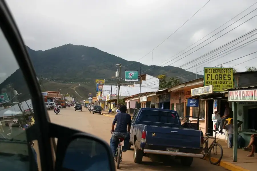
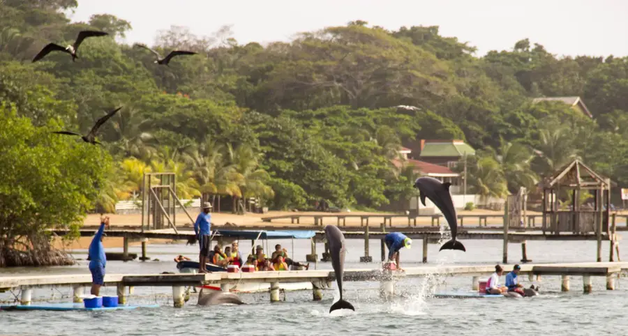
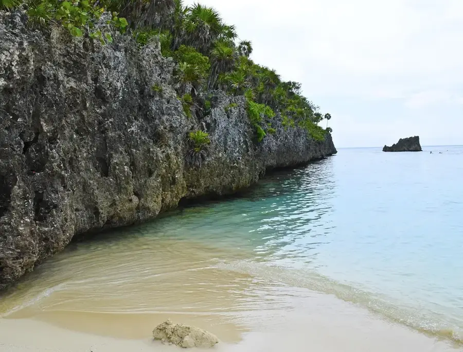
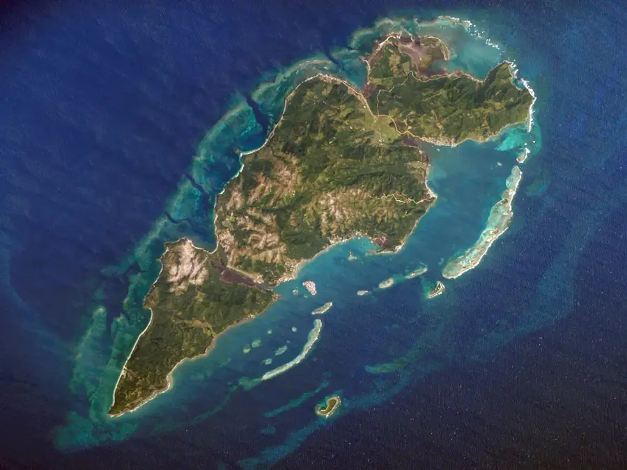
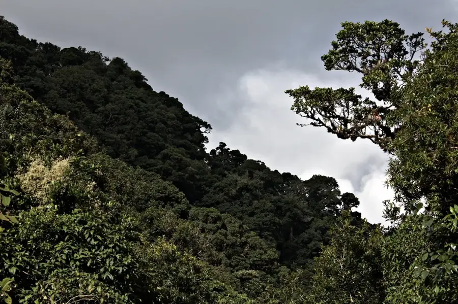
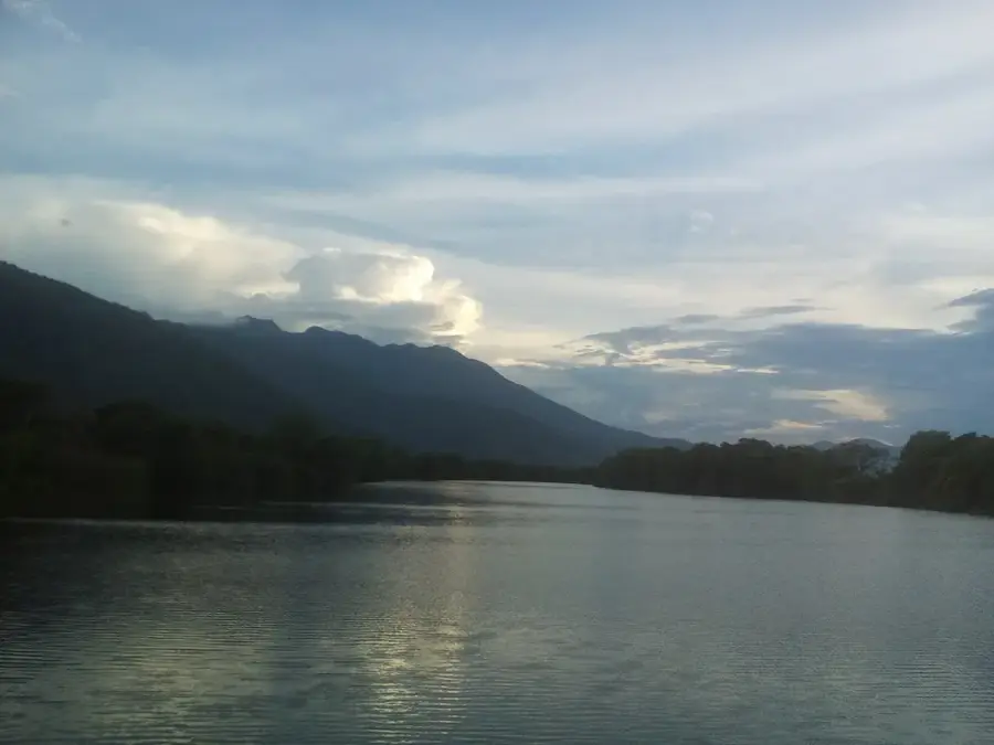
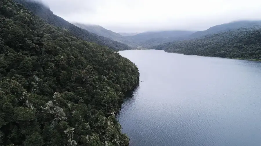
Honduras' Caribbean coastline stretches for more than 670 kilometers, offering an impressive diversity of ecosystems. From the pristine coral reefs of the Bay Islands to the vast mangrove lagoons of La Mosquitia, this region is a hotspot for marine biodiversity. The Mesoamerican Reef, the world's second-largest barrier reef system, runs along the coast, providing world-class diving and snorkeling. Historically, the coast has been a melting pot of cultures, most notably with the arrival of the Garifuna people in the late 18th century. Coastal cities like Tela, La Ceiba, and Trujillo serve as gateways to this tropical splendor. The warm waters and trade winds heavily influence the climate of the entire country.
- Location: Honduras
- Nearby: Iriona (7 km)
Best time to visit & climate
The most pleasant time to visit is Feb–Apr.
| Jan | Feb | Mar | Apr | May | Jun | Jul | Aug | Sep | Oct | Nov | Dec | |
|---|---|---|---|---|---|---|---|---|---|---|---|---|
| Avg °C | 25 | 25 | 26 | 27 | 28 | 27 | 27 | 27 | 28 | 27 | 26 | 25 |
| Rain mm | 183 | 112 | 77 | 62 | 140 | 248 | 258 | 231 | 206 | 395 | 352 | 229 |
📋 Practical info
Geography
Facts
- Honduras has a Caribbean coastline of approximately 670 km.
- The Mesoamerican Reef is a UNESCO World Heritage site.
- The average water temperature is 27°C (81°F) year-round.
- Trujillo was the site of the first mainland mass in 1502.
- The coast features 15 designated marine protected areas.
- Garifuna communities are recognized as intangible heritage.
Explore nearby
Notable places around
Route planner — Car & Motorhome
Where do you start? We build the route here, with stops and country notes along the way.
© OpenStreetMap contributors · OpenRouteService
Sights nearby
Frequently asked questions
What water temperatures can be expected?
Where are the best coral reefs located?
When is the hurricane season?
Can you see whale sharks?
Are there ferries to the islands?
Caribbean Sea (Honduras Coast): where is it located?
Caribbean Sea (Honduras Coast): when is the best time to visit?
Caribbean Sea (Honduras Coast): why is it worth visiting?

Nearby cities


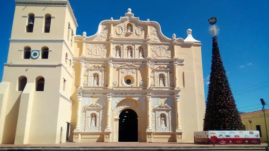
History & landmarks
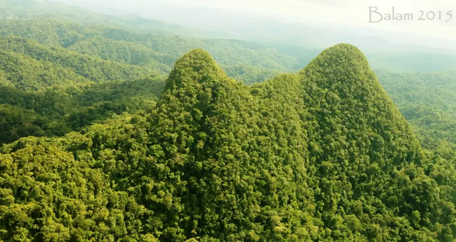
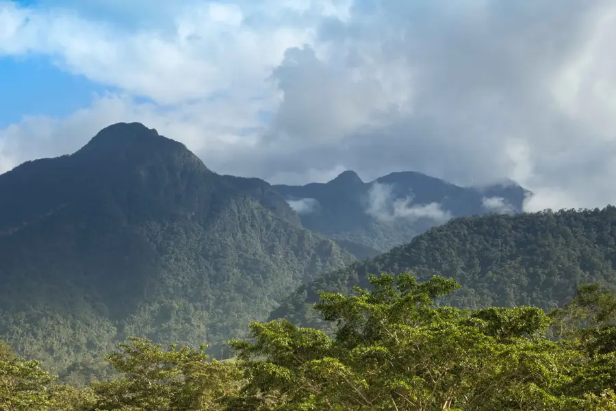

Nature
More places