Plizio Visual Lab
Balfate

ℹ️Practical info — Balfate
▾
🌤 Weather — 5 days
📍 Nearby
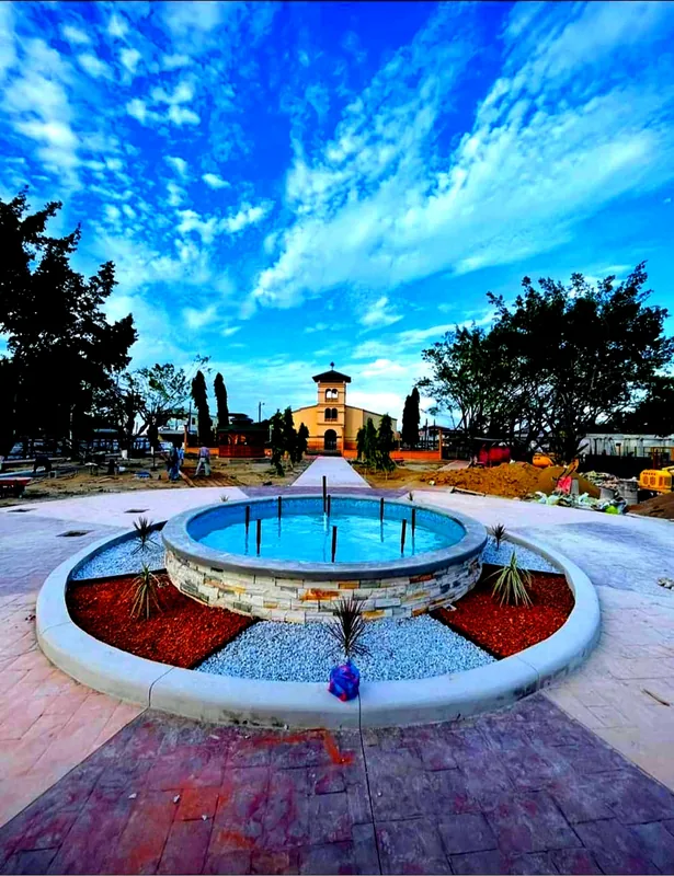
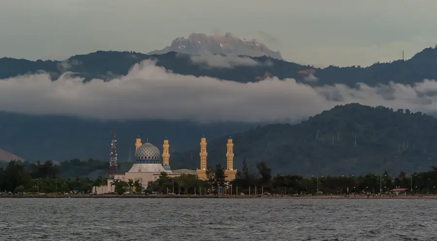
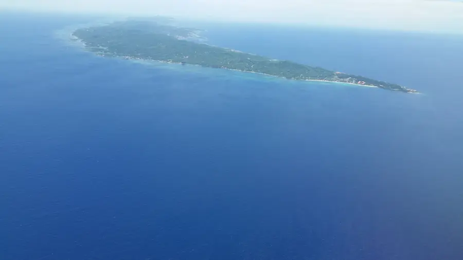
Sights nearby
💡 Tips
- Experience the unique Garifuna culture by interacting respectfully with the locals.
- The beaches here are tranquil and less developed; bring your own beach essentials.
- Cash is king; ATMs are rare, so bring enough Lempiras.
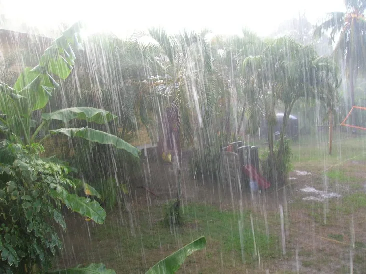
- Roads can be muddy during the rainy season; plan your transport accordingly.
🍽 Food
Traditional Garifuna mashed plantain dish with seafood soup.
Fried fish served with plantain chips near the beach.
Crispy cassava bread, a staple of the coastal diet.
🛍 Shopping · 🧘 Quiet spots
Look for jewelry made from coconut shells and seeds.
Fresh Caribbean fruits and daily catches from local fishermen.
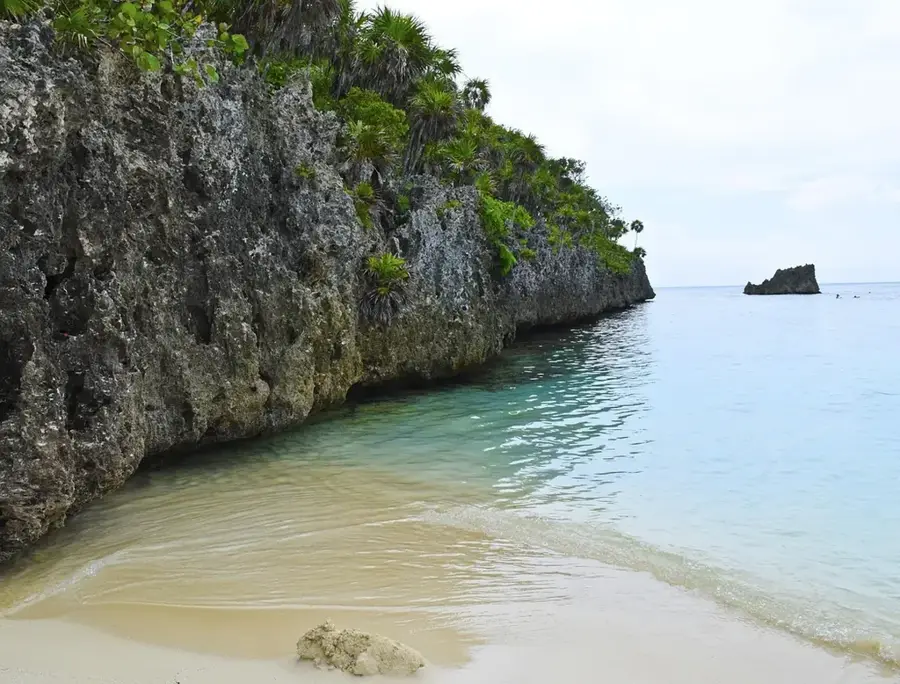
A quiet, uncrowded stretch of sand by the Caribbean Sea.
A serene spot where the local river meets the ocean.
Water temperature…
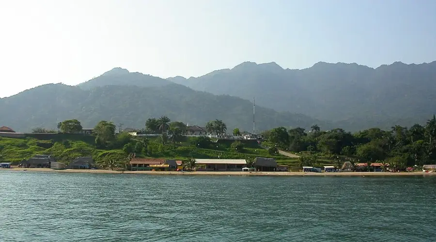
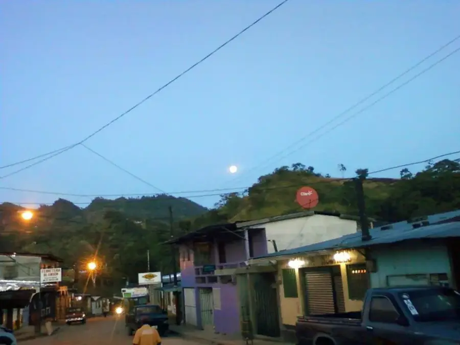
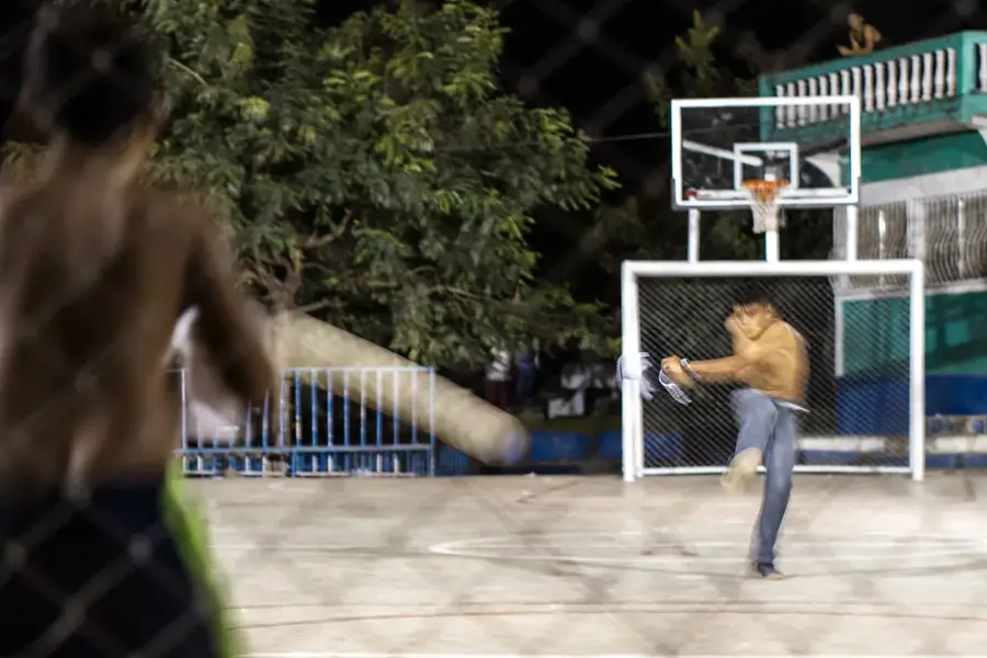
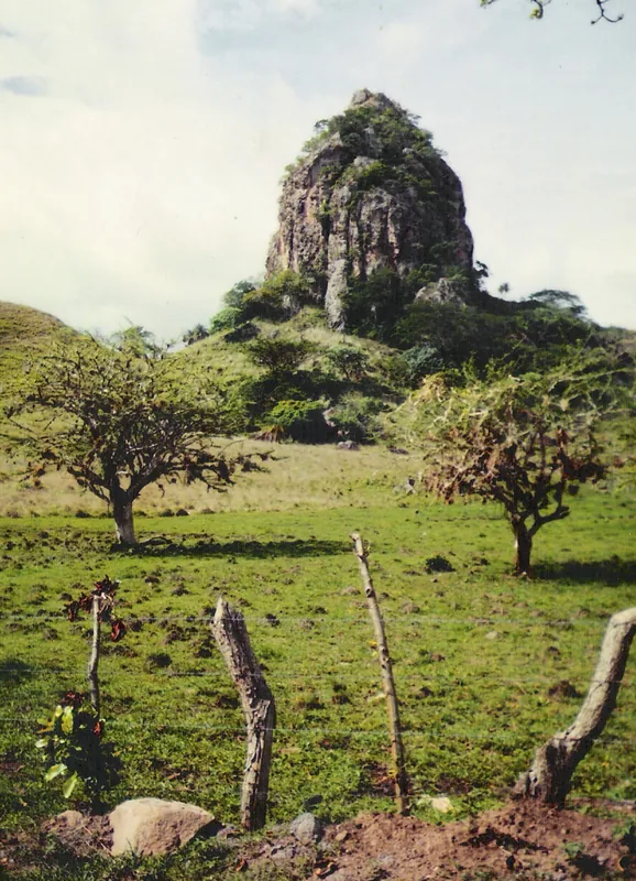
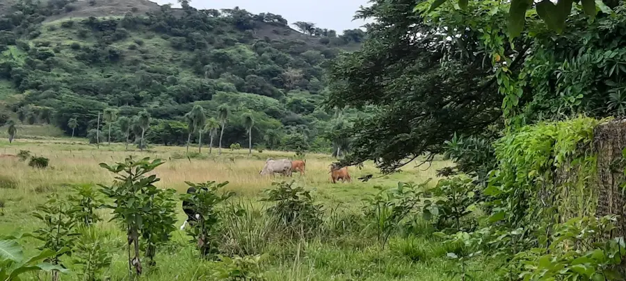
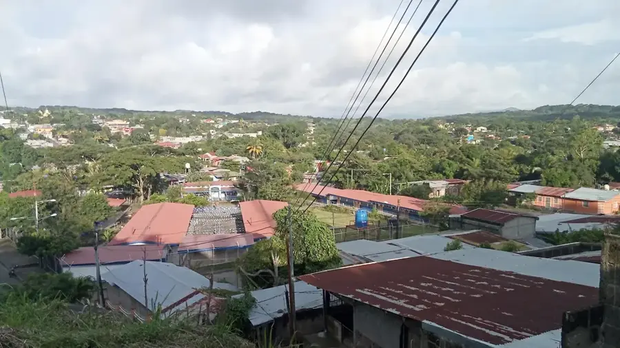
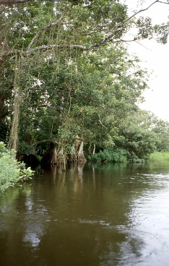
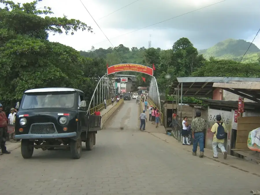
Balfate is a remote coastal municipality located in the Colón Department of northeastern Honduras. Officially established on June 22, 1881, the town is characterized by its isolated position between the Caribbean Sea and the towering peaks of the Nombre de Dios mountain range. This unique geography has helped Balfate preserve a traditional way of life, where small-scale fishing and subsistence farming are the mainstays of the local economy. The area is known for its pristine, undeveloped beaches and the rich biodiversity found in its upland tropical forests. Culturally, the municipality is home to several Garifuna communities that maintain their distinct linguistic and musical heritage. While infrastructure remains basic compared to larger urban centers, Balfate gives a glimpse into authentic rural Honduras. Its location also places it near important conservation areas, making it a point of interest for those concerned with the preservation of Central American coastal ecosystems.
- Location: Honduras
- Nearby: Iriona (41 km)
Best time to visit & climate
The most pleasant time to visit is Feb–Apr.
| Jan | Feb | Mar | Apr | May | Jun | Jul | Aug | Sep | Oct | Nov | Dec | |
|---|---|---|---|---|---|---|---|---|---|---|---|---|
| Avg °C | 24 | 25 | 25 | 27 | 27 | 27 | 27 | 27 | 28 | 27 | 26 | 25 |
| Rain mm | 181 | 109 | 79 | 49 | 106 | 183 | 179 | 170 | 171 | 318 | 317 | 210 |
Geography
Facts
- Established as a municipality on June 22, 1881.
- Located in the Colón Department along the Caribbean coast.
- The Nombre de Dios mountains rise directly behind the coast.
- Small-scale fishing is the primary economic driver.
- Home to several traditional Garifuna coastal villages.
- Known for its high degree of isolation and natural beauty.
Explore nearby
Notable places around
Route planner — Car & Motorhome
Where do you start? We build the route here, with stops and country notes along the way.
© OpenStreetMap contributors · OpenRouteService
Frequently asked questions
Where is Balfate located?
Is Balfate touristy?
What can you do there?
Are there nature parks?
How is the access?
Balfate: where is it located?
Balfate: when is the best time to visit?
Balfate: why is it worth visiting?

Nearby cities


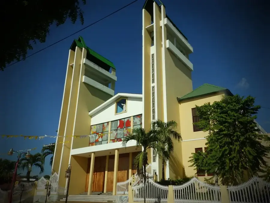

History & landmarks
Nature
More places