Plizio Visual Lab
Capiro Mountains
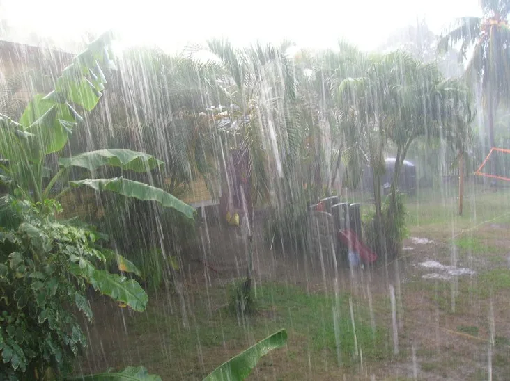
Weather…
Water temperature…
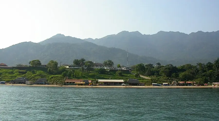
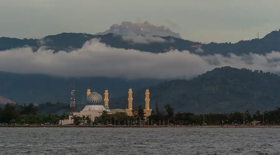
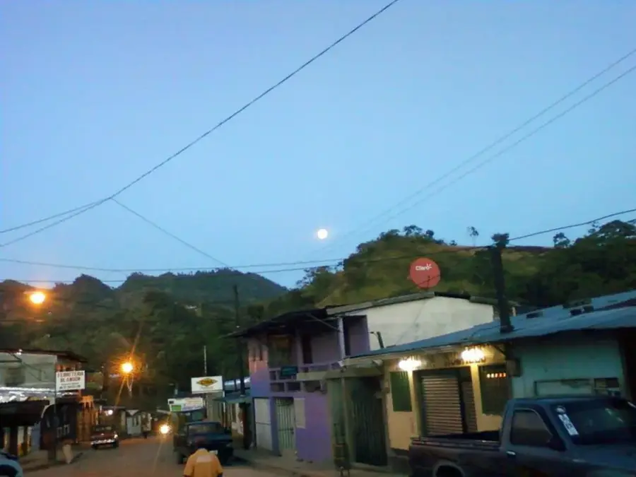
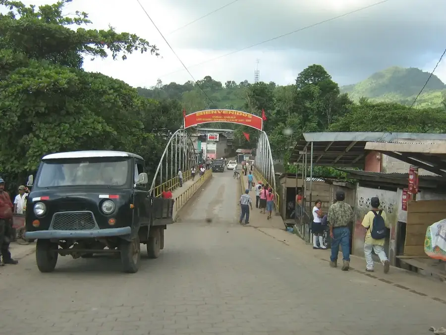
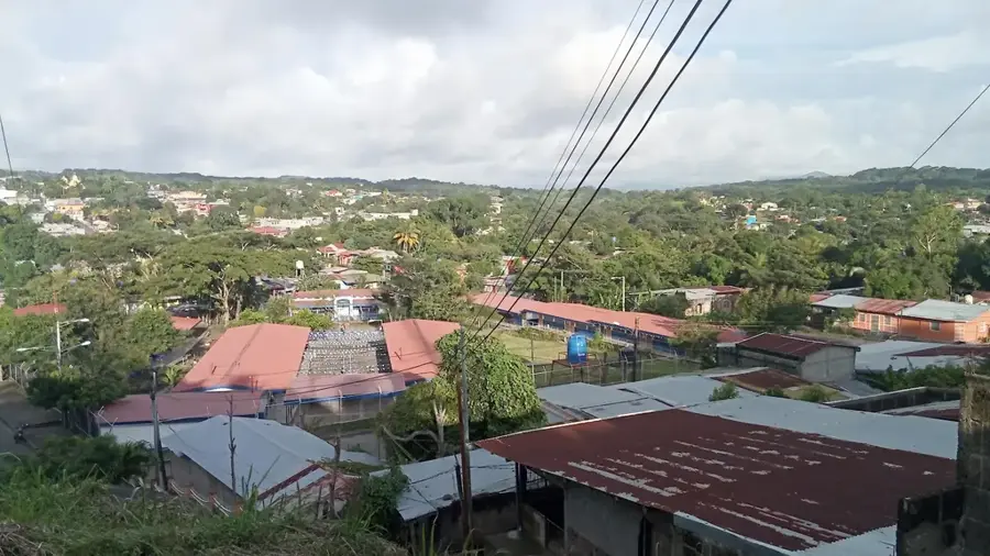
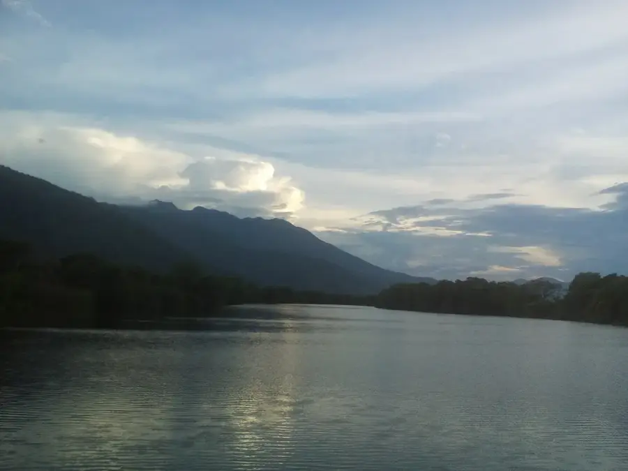
The Capiro Mountain, alongside the Calentura peak, forms a prominent massif standing directly behind the historic town of Trujillo on the Caribbean coast. This national park (Capiro y Calentura) is unique for its steep, jungle-clad slopes that rise almost vertically from the sea. From the summits, visitors enjoy wide-open views of the Bay of Trujillo and the distant Caribbean islands. The park protects vital cloud forest ecosystems and serves as a sanctuary for white-faced capuchin monkeys, jaguars, and a diverse array of tropical birds. The dense vegetation is a crucial source of fresh water for the entire Trujillo municipality. History: The area is steeped in history, from ancient pre-Columbian settlements to Christopher Columbus's landing in 1502, where he first set foot on the Central American mainland.
- Location: Honduras
- Nearby: San Esteban (21 km)
Best time to visit & climate
The most pleasant time to visit is Feb–Apr.
| Jan | Feb | Mar | Apr | May | Jun | Jul | Aug | Sep | Oct | Nov | Dec | |
|---|---|---|---|---|---|---|---|---|---|---|---|---|
| Avg °C | 21 | 22 | 23 | 25 | 26 | 25 | 24 | 25 | 25 | 24 | 22 | 22 |
| Rain mm | 127 | 78 | 59 | 41 | 96 | 150 | 142 | 137 | 127 | 230 | 216 | 144 |
📋 Practical info
Geography
Facts
- Part of the Capiro and Calentura National Park.
- Highest elevation reaches 1,235 meters.
- Offers panoramic views of the Caribbean and Trujillo Bay.
- Crucial freshwater source for the Trujillo municipality.
- Home to endangered species like the ocelot and jaguar.
- Steep terrain rising directly from the coastal shore.
Explore nearby
Notable places around
Route planner — Car & Motorhome
Where do you start? We build the route here, with stops and country notes along the way.
© OpenStreetMap contributors · OpenRouteService
Sights nearby
Frequently asked questions
Where is the Capiro mountain range located?
Which park protects this mountain range?
Is there a good view from there?
What vegetation awaits you?
Is the path to the summit accessible?
Capiro Mountains: where is it located?
Capiro Mountains: when is the best time to visit?
Capiro Mountains: why is it worth visiting?

Nearby cities


History & landmarks
Nature

More places