Plizio Visual Lab
Roatán Island
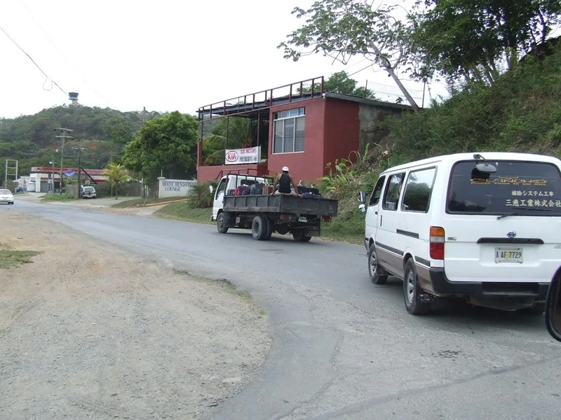
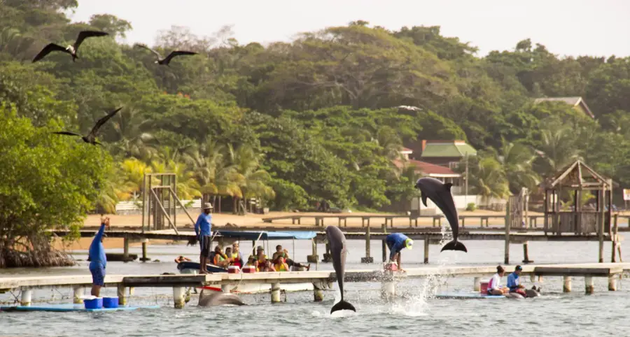
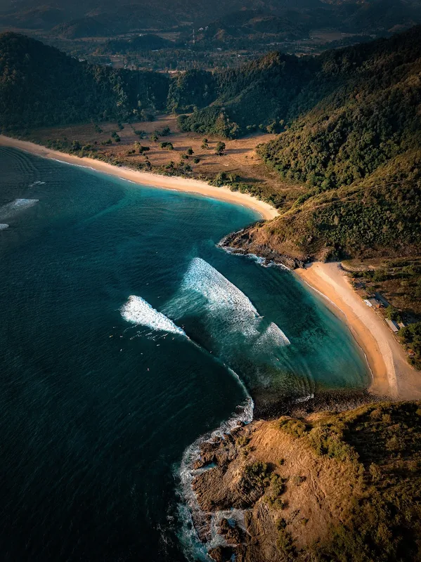
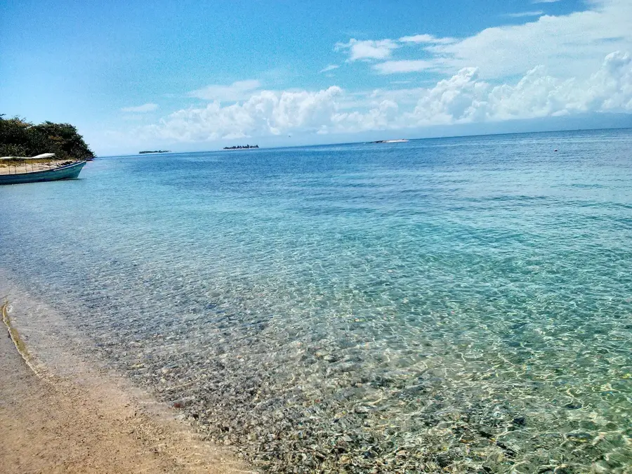
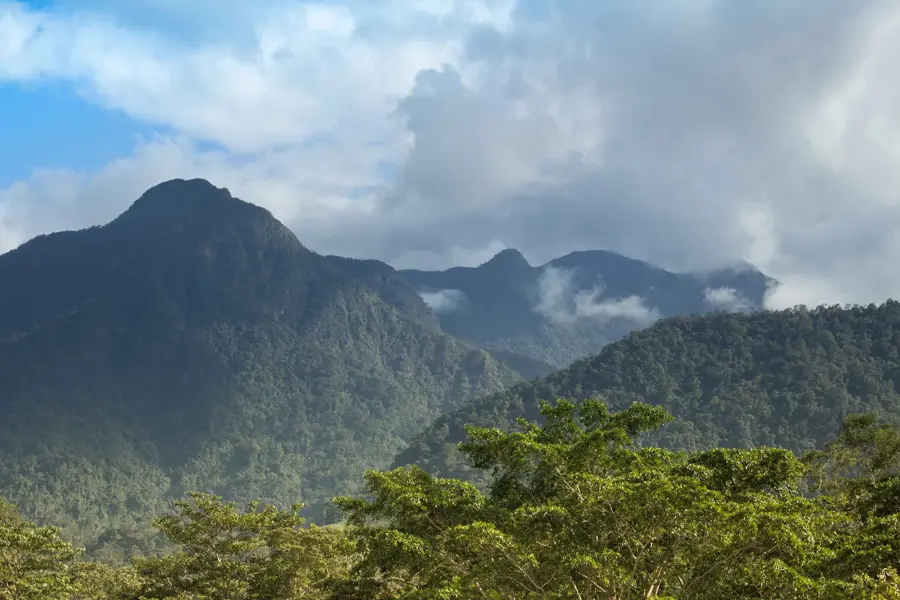
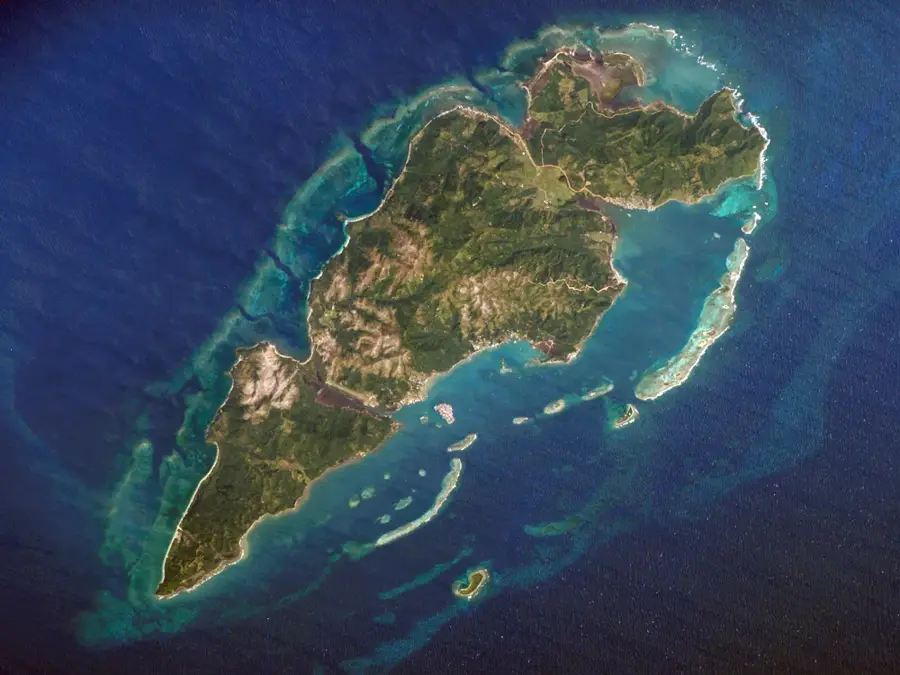
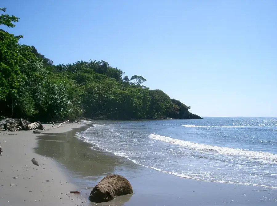
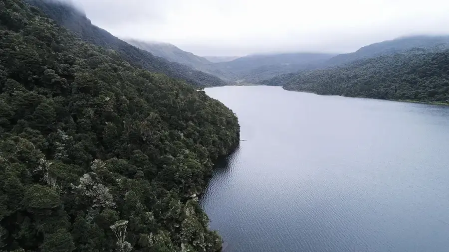
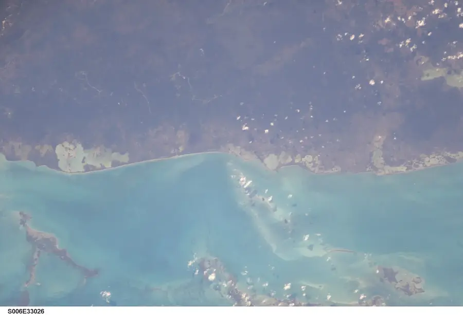
Roatán is the largest of the Bay Islands of Honduras, situated approximately 65 kilometers off the country's northern coast in the Caribbean Sea. The island is world-renowned for its position along the Mesoamerican Barrier Reef, the second-largest coral reef system on Earth. Geographically, Roatán features a hilly interior covered in dense tropical forest, fringed by white sandy beaches. Historically, the island was a sanctuary for pirates such as Henry Morgan for centuries and experienced alternating periods of Spanish and British rule, which accounts for its present-day cultural diversity and the prevalence of the English language. A significant portion of the local population includes the Garifuna people, who maintain a rich cultural heritage. Today, Roatán is Honduras's premier tourist destination, acclaimed for its world-class diving sites and ecological protected areas like the Roatán Marine Park. Despite extensive tourism development, the preservation of marine ecosystems remains a top priority for the island's community.
- Location: Honduras
- Top sights: Coxen Hole · Coxen Hole Stadium · Aerolínea Lanhsa Flight 018
- Nearby: Olanchito (7 km)
Best time to visit & climate
The most pleasant time to visit is Feb–Apr.
| Jan | Feb | Mar | Apr | May | Jun | Jul | Aug | Sep | Oct | Nov | Dec | |
|---|---|---|---|---|---|---|---|---|---|---|---|---|
| Avg °C | 26 | 26 | 26 | 27 | 28 | 28 | 28 | 29 | 29 | 28 | 27 | 27 |
| Rain mm | 176 | 104 | 74 | 46 | 104 | 186 | 182 | 176 | 192 | 331 | 321 | 200 |
📋 Practical info
Geography
Facts
- Roatán is located adjacent to the world's second-largest coral reef.
- The island was a notorious pirate base during the 17th century.
- English is the most widely spoken language alongside Spanish.
- Garifuna culture has been recognized by UNESCO as cultural heritage.
- The Marine Park protects over 400 species of fish and coral.
- The island is roughly 60 kilometers long and up to 8 kilometers wide.
Explore nearby
Notable places around
Route planner — Car & Motorhome
Where do you start? We build the route here, with stops and country notes along the way.
© OpenStreetMap contributors · OpenRouteService
Sights in the town Roatán Island (3)
Sights nearby
Frequently asked questions
What is the best beach on Roatán?
Do I need a car on the island?
Is snorkeling family-friendly?
Is English spoken on Roatán?
Is there a risk of malaria?
Roatán Island: where is it located?
Roatán Island: what is there to see?
Roatán Island: when is the best time to visit?
Roatán Island: why is it worth visiting?

Nearby cities


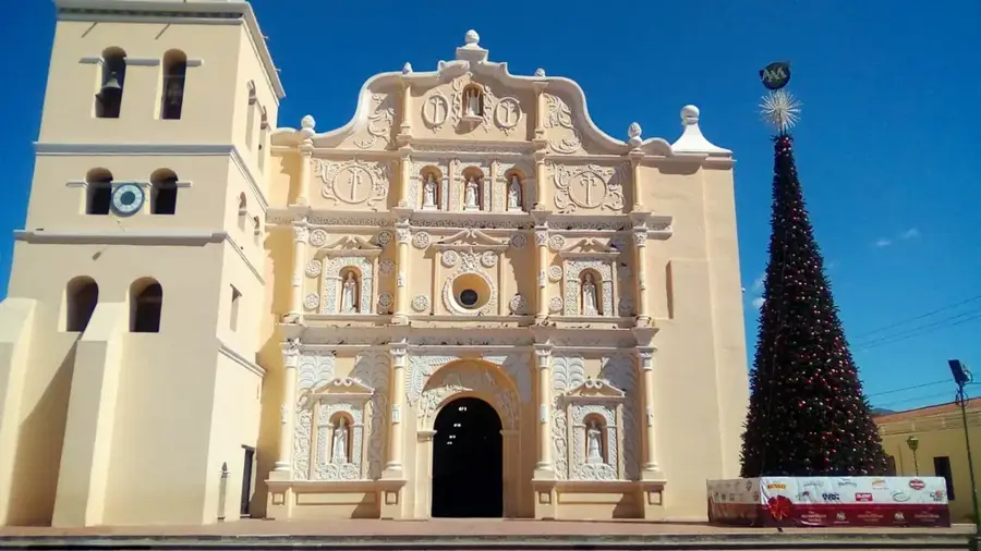
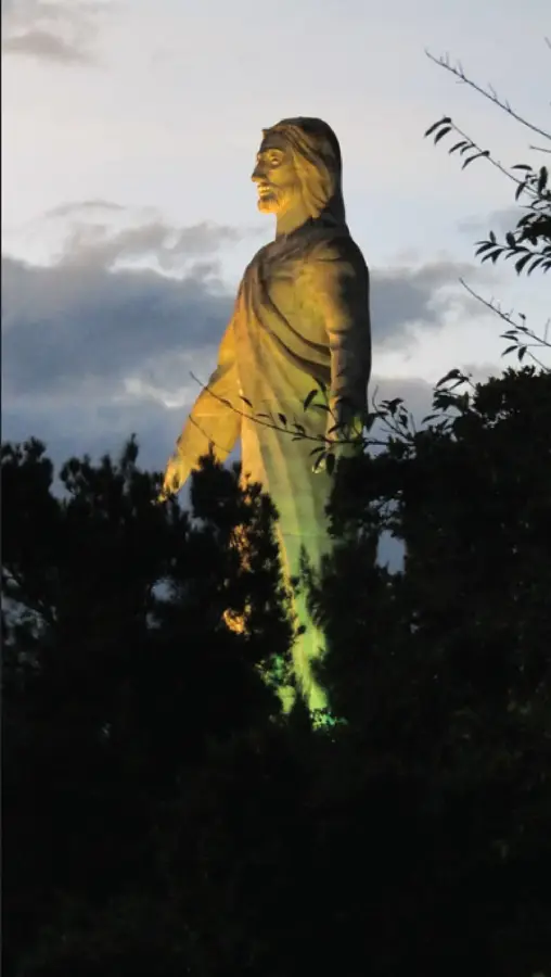
History & landmarks

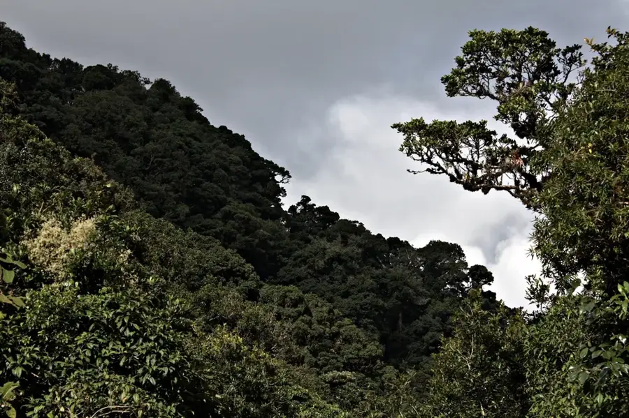
Nature
More places