Plizio Visual Lab
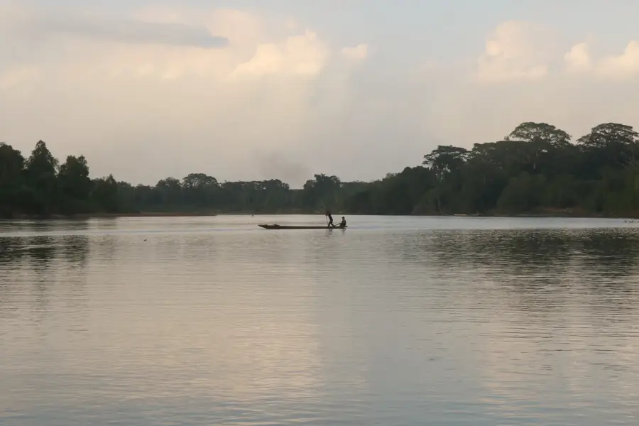
Patuca River
Weather…
Water temperature…
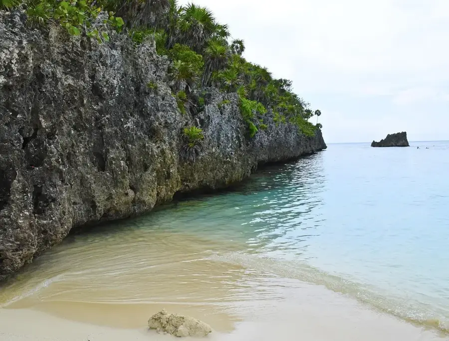
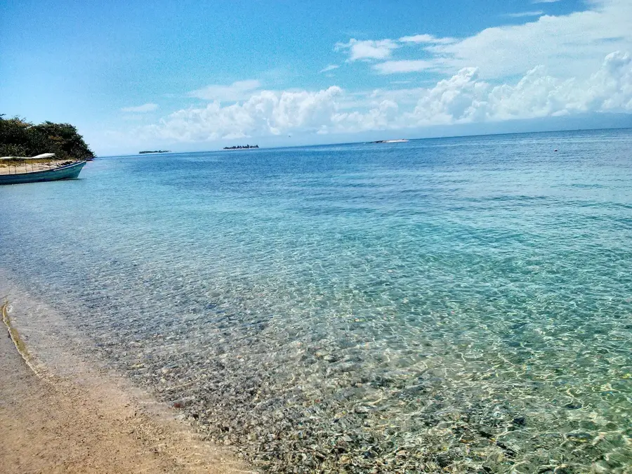
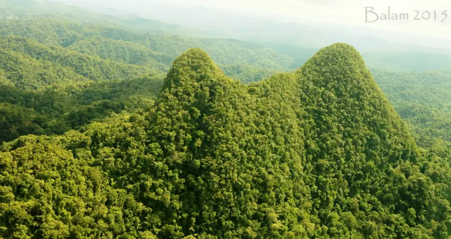
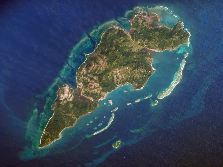
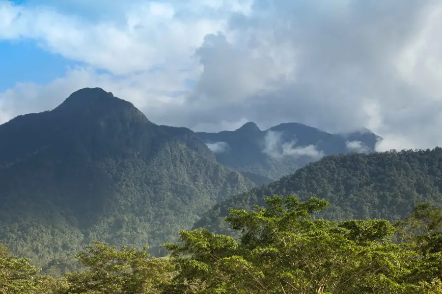
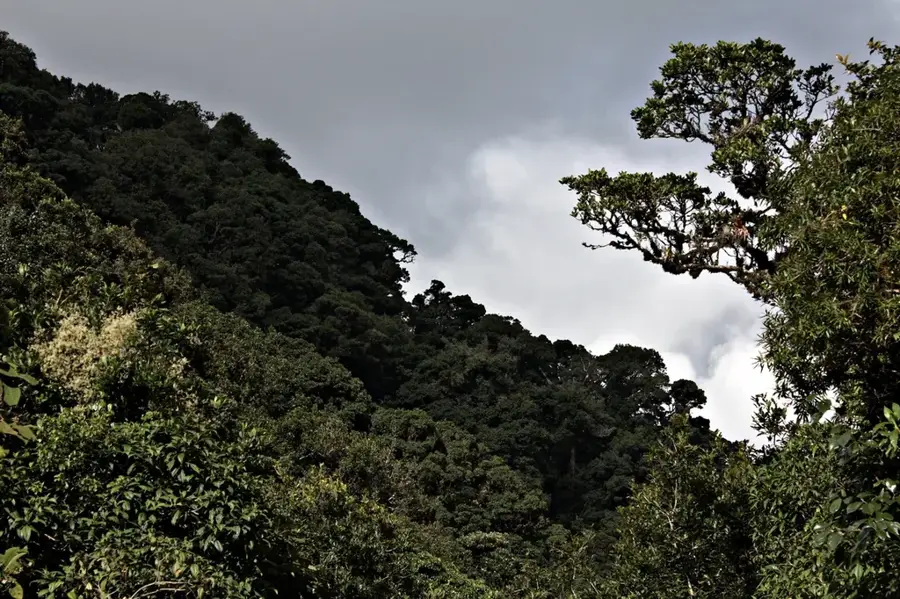
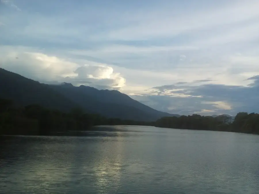
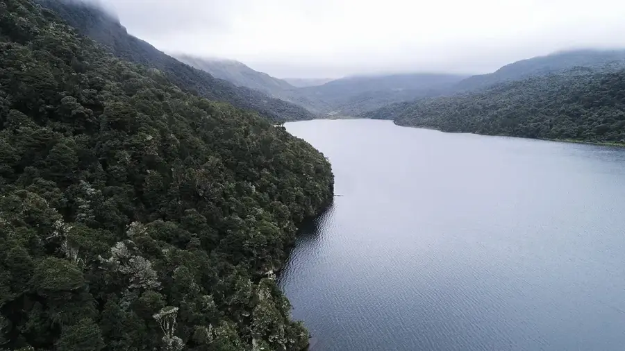
The Patuca River, with a total length of approximately 500 kilometers (310 miles), is the longest river flowing entirely within the borders of Honduras. It is formed in the northeastern Olancho Department by the confluence of the Guayape and Guayambre rivers. Its course winds through some of Central America's most remote and ecologically significant regions, including the Río Plátano Biosphere Reserve and the Patuca National Park. Geographically, the river serves as a vital transportation artery for the indigenous Miskito and Tawahka communities, who rely on it for navigation and fishing. The Patuca discharges into the Caribbean Sea at Barra Patuca, creating an area characterized by extensive lagoon systems and mangrove forests. In recent decades, the river has been a focal point for ecological and social discussions due to proposed hydroelectric dam projects, which threaten the pristine riverine ecosystems and the traditional livelihoods of indigenous groups. The Patuca River remains a cornerstone for biodiversity conservation and the preservation of cultural heritage in eastern Honduras.
- Location: Honduras
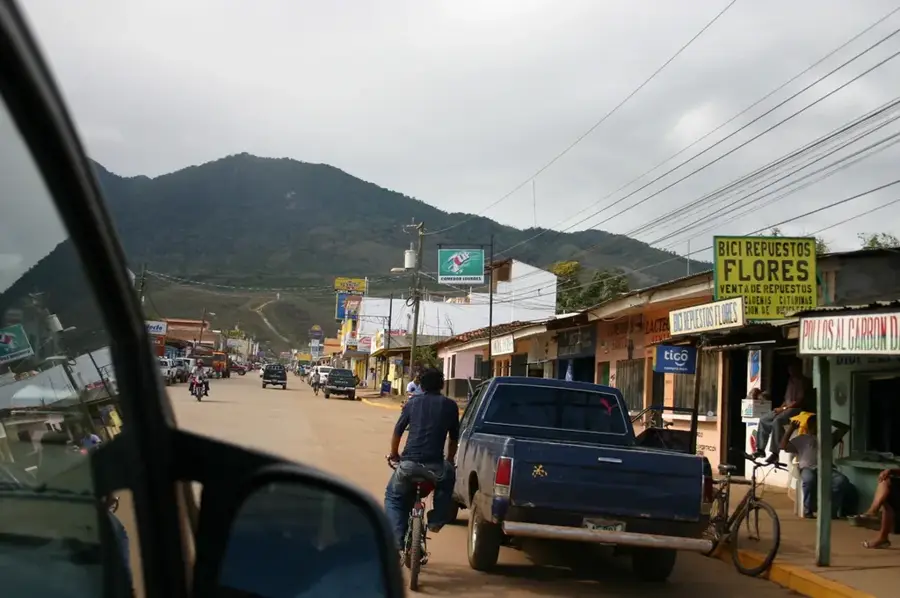
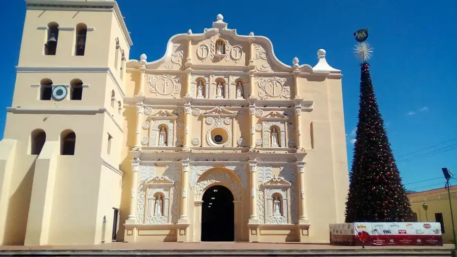
- Nearby: Iriona (74 km)
Best time to visit & climate
The most pleasant time to visit is Feb–Apr.
| Jan | Feb | Mar | Apr | May | Jun | Jul | Aug | Sep | Oct | Nov | Dec | |
|---|---|---|---|---|---|---|---|---|---|---|---|---|
| Avg °C | 26 | 26 | 26 | 27 | 28 | 28 | 28 | 28 | 28 | 28 | 27 | 27 |
| Rain mm | 178 | 110 | 70 | 74 | 169 | 310 | 330 | 286 | 239 | 479 | 390 | 239 |
📋 Practical info
Geography
Facts
- The Patuca is the longest river located entirely within Honduras.
- It is formed by the union of the Guayape and Guayambre rivers.
- The river empties into the Caribbean Sea at the settlement of Barra Patuca.
- It flows through the La Mosquitia region, one of the wildest areas.
- The Patuca III hydroelectric dam was officially inaugurated in 2020.
- The river is the primary transportation route for the Tawahka people.
Explore nearby
Notable places around
Route planner — Car & Motorhome
Where do you start? We build the route here, with stops and country notes along the way.
© OpenStreetMap contributors · OpenRouteService
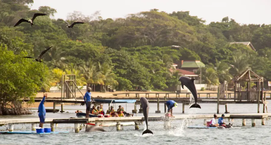
Sights nearby
Frequently asked questions
How can you explore the Patuca River?
Are there rapids on the river?
What animals can be seen on the banks?
Is the river suitable for children?
When is the water level best?
Patuca River: where is it located?
Patuca River: when is the best time to visit?
Patuca River: why is it worth visiting?

Nearby cities


History & landmarks
Nature
More places