Plizio Visual Lab
Atima
ℹ️Practical info — Atima
▾
🌤 Weather — 5 days
📍 Nearby
Sights nearby
💡 Tips
- Bring a warm jacket, as the mountain evenings get surprisingly chilly in this area.
- Rent a 4x4 vehicle if you plan to explore the rougher mountain dirt roads nearby.
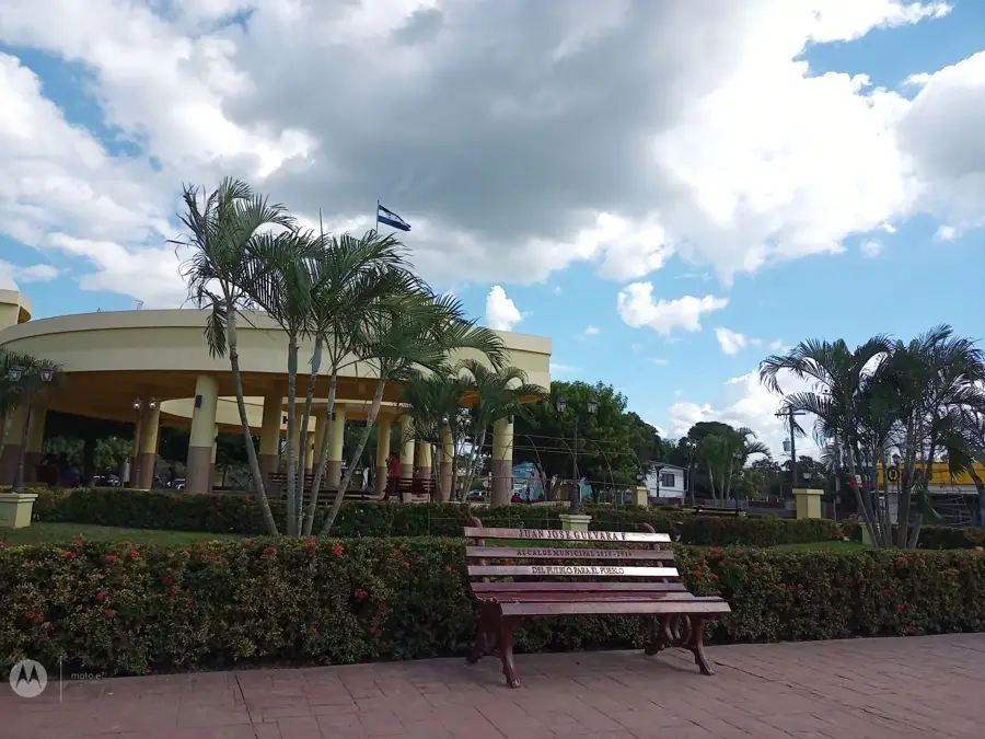
- Visit the central plaza on weekends when the rural town life is at its most animated.
- Strike up a conversation with local coffee farmers to learn about their harvesting processes.
🍽 Food
The Honduran classic made of tortilla, beans, and cheese, cheap at corner diners.
Freshly baked from the local bakeries, it makes a good quick morning snack.
Locally grown and roasted coffee, a must-try in any small cafe around town.
🛍 Shopping · 🧘 Quiet spots
Buy the excellent local coffee directly from the grower cooperatives for the best quality.
Near the main plaza, you can find small shops selling handmade regional souvenirs.
During early weekday mornings, the main plaza is wonderfully quiet and relaxing.
The hiking trails in the surrounding forests offer plenty of nature and undisturbed peace.
Water temperature…
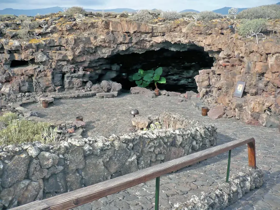
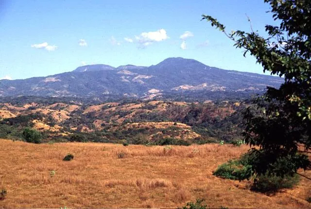
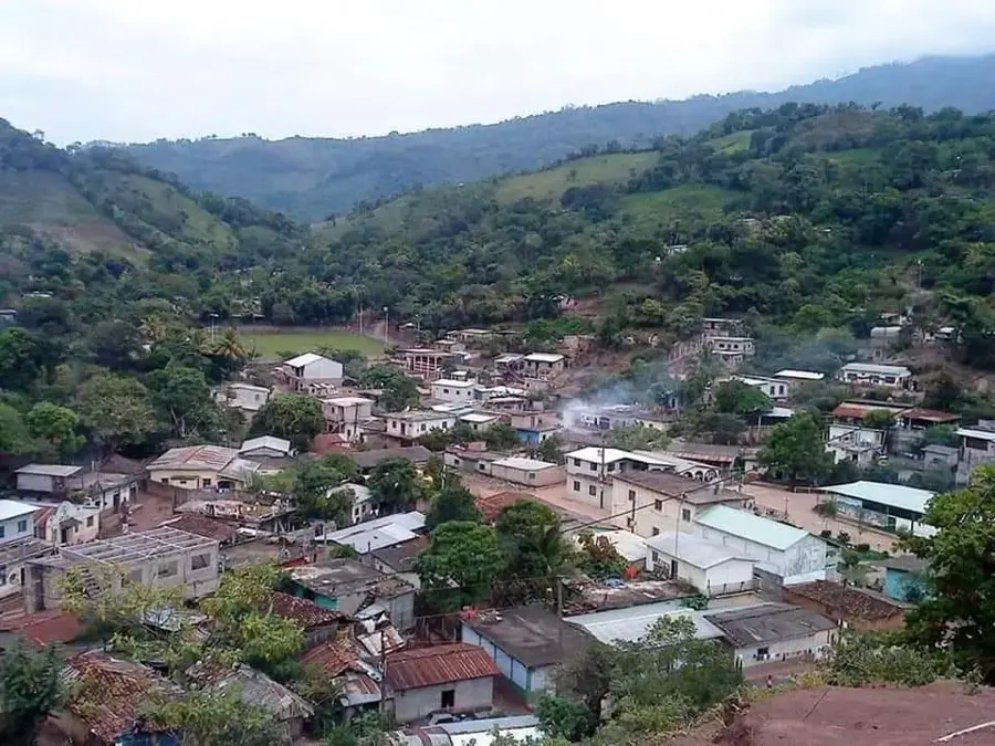
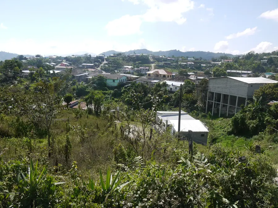
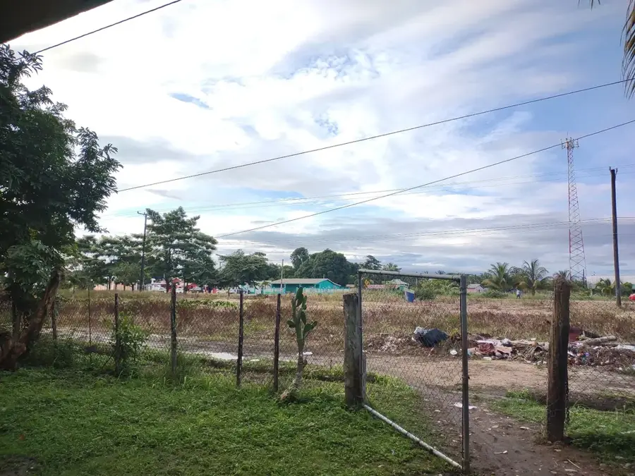
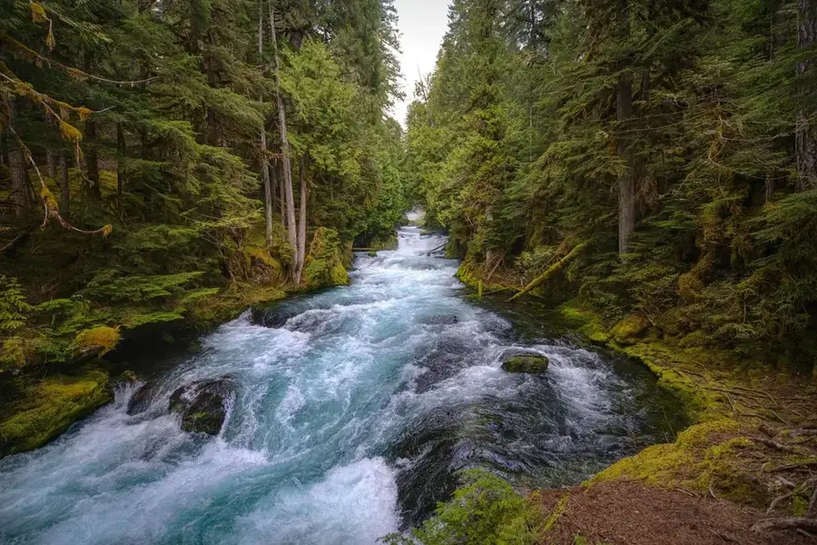
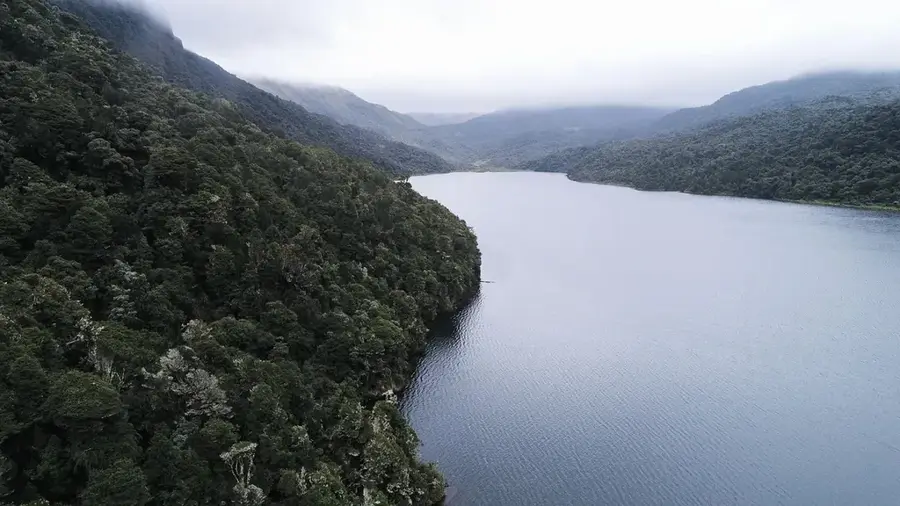
Atima is a secluded and intriguing municipality located in the Santa Bárbara Department, renowned for its unique natural features and world-class coffee. Established on September 18, 1877, the town sits in a deep valley surrounded by the rugged peaks of the Sierra de Atima range. One of the most remarkable geographical phenomena in the area is the San José River, which disappears into a massive limestone cave system known as the Cuevas de Atima, only to resurface several miles away. This geological marvel attracts scientists and adventure seekers interested in the region's complex karst topography. Economically, Atima is a powerhouse in the coffee sector, with its high-altitude beans frequently winning national awards for quality and flavor profile. The municipality maintains a quiet, traditional lifestyle centered on agricultural cycles and community festivals. Despite its relative isolation, Atima is a vital part of Honduras's coffee heritage, offering a blend of natural wonder and agricultural excellence.
- Location: Honduras
- Nearby: Gualcinse (4 km)
- Population: ~17.648 (2026)
Best time to visit & climate
The most pleasant time to visit is Jan–Mar.
| Jan | Feb | Mar | Apr | May | Jun | Jul | Aug | Sep | Oct | Nov | Dec | |
|---|---|---|---|---|---|---|---|---|---|---|---|---|
| Avg °C | 19 | 21 | 22 | 24 | 25 | 23 | 23 | 23 | 23 | 22 | 20 | 20 |
| Rain mm | 59 | 45 | 38 | 43 | 128 | 197 | 164 | 185 | 217 | 168 | 105 | 68 |
Geography
Facts
- Founded as a municipality on September 18, 1877.
- Features a river that flows underground through local caves.
- The Cuevas de Atima are a major geological attraction in the area.
- Atima coffee is a frequent winner of the Cup of Excellence award.
- Located within the scenic and rugged Sierra de Atima mountains.
- Primary economic activities are coffee farming and basic grains.
Explore nearby
Notable places around
Route planner — Car & Motorhome
Where do you start? We build the route here, with stops and country notes along the way.
© OpenStreetMap contributors · OpenRouteService
Frequently asked questions
What are the Atima caves?
When is the best time to visit the caves?
Is Atima hard to reach?
What is the local product?
Do you need a guide?
Atima: where is it located?
Atima: when is the best time to visit?
Atima: why is it worth visiting?

Nearby cities
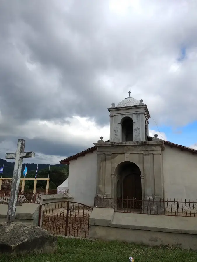
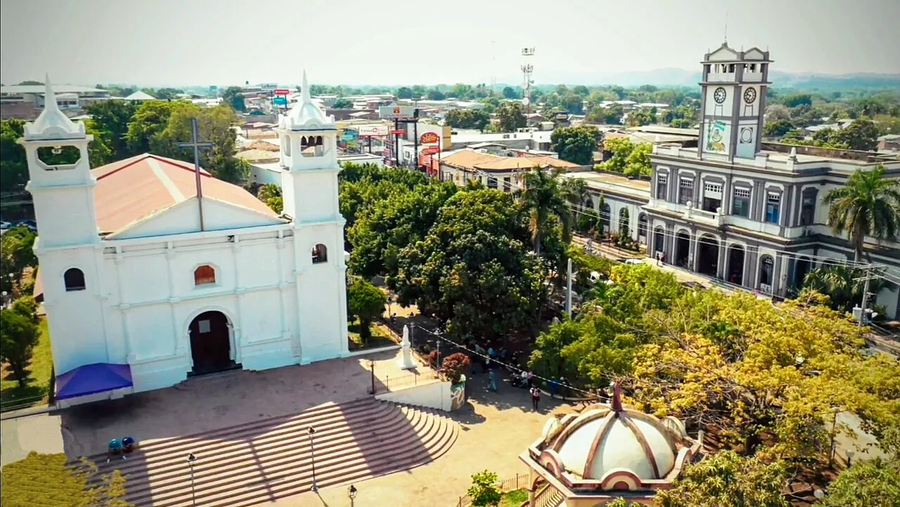
History & landmarks
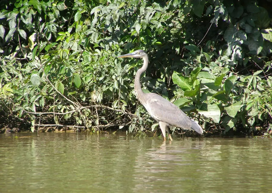
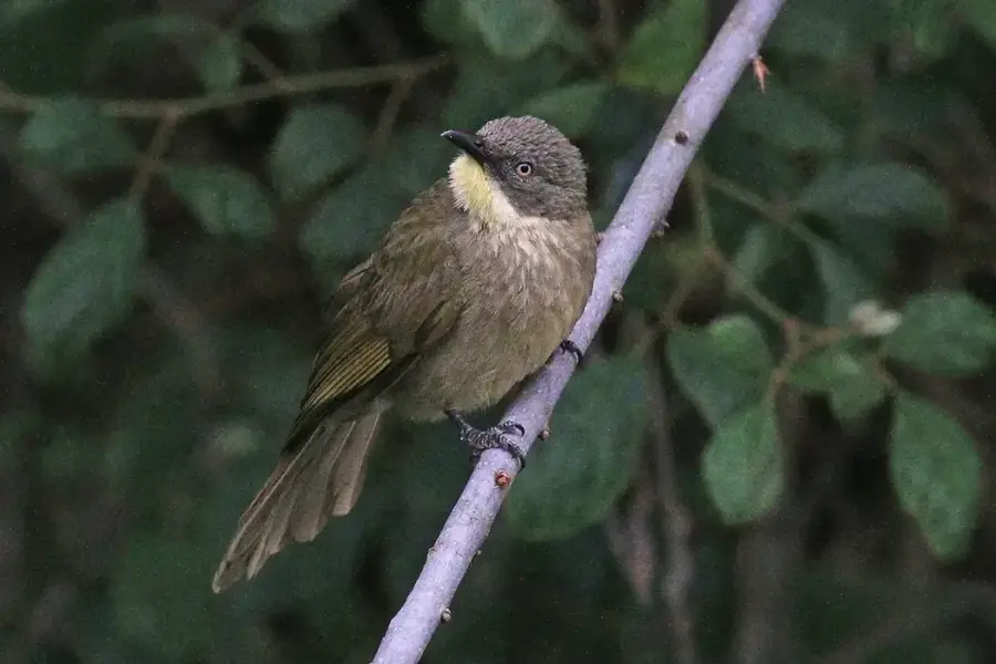
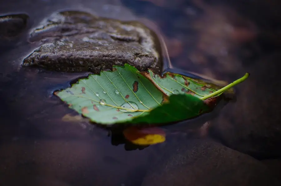
Nature
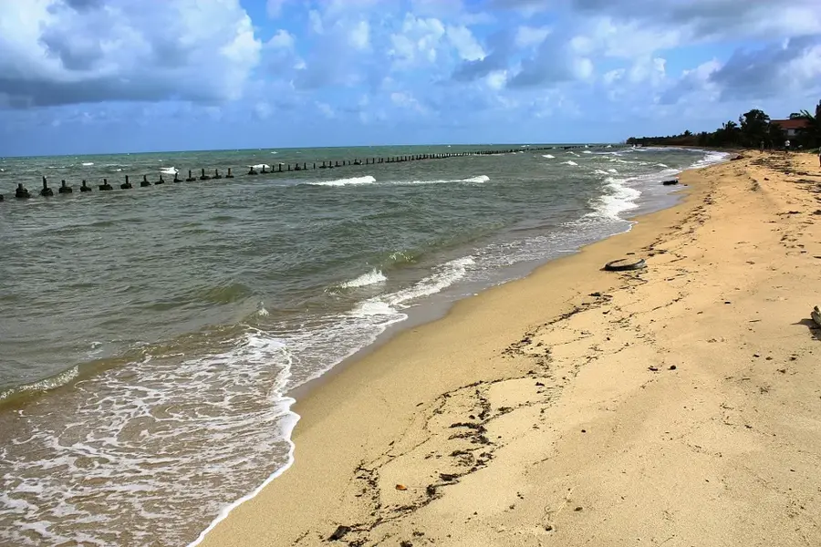
More places