Plizio Visual Lab
Montaña Verde
Weather…
Water temperature…
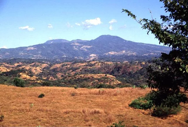
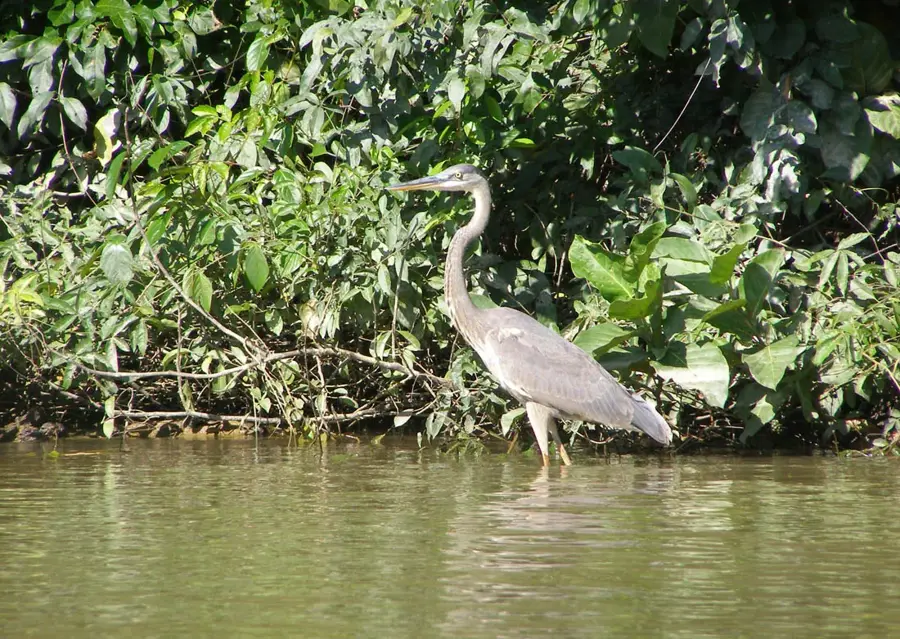
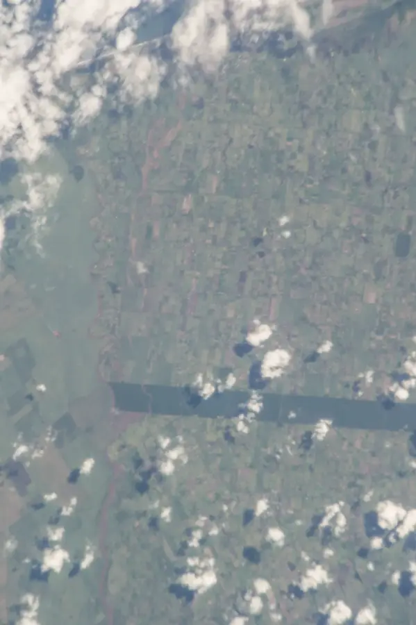
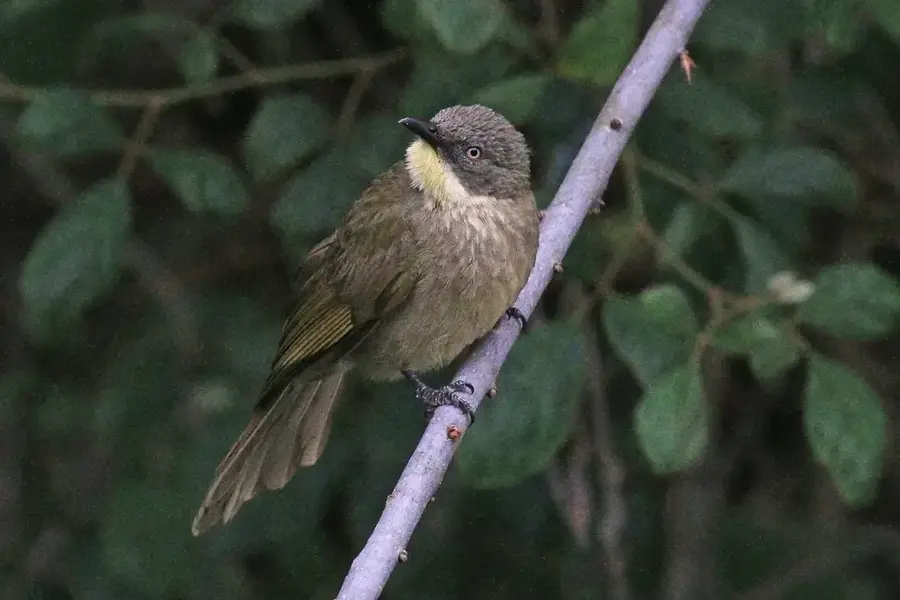
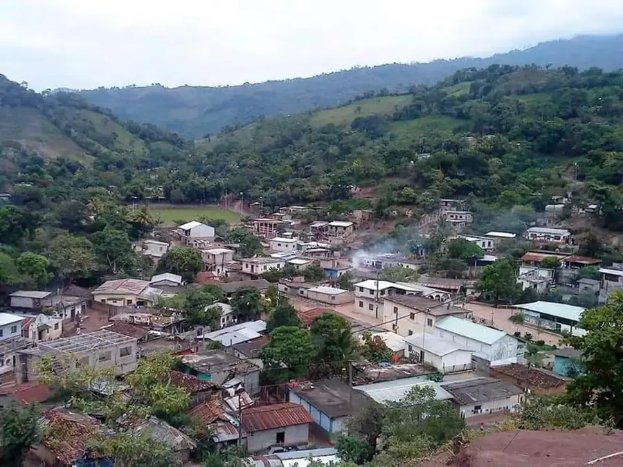
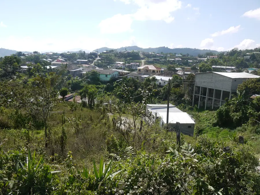
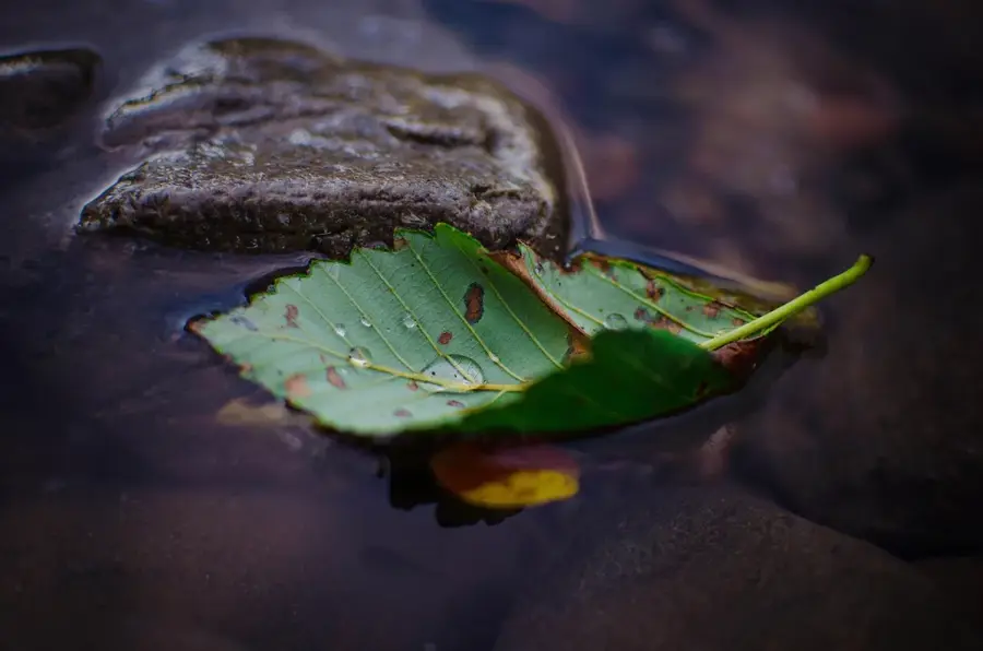
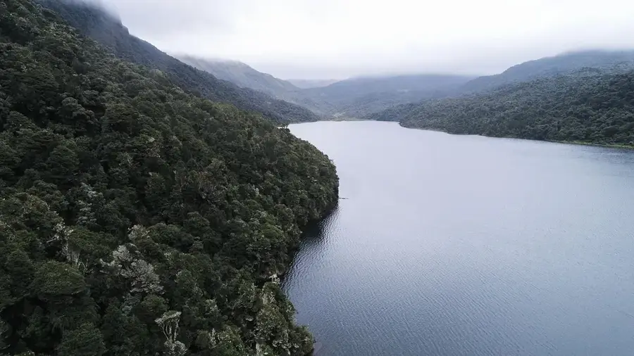
Montaña Verde is a significant Wildlife Refuge located in western Honduras, straddling the departments of Lempira and Santa Bárbara. This protected area was officially established in 1987 to safeguard the unique mountainous landscapes and the high biological diversity of the region. The area is characterized by dense cloud forests and pine-oak woodlands that thrive at elevations exceeding 1,500 meters. Geologically, Montaña Verde is part of the central highlands of Honduras, featuring a rugged topography with numerous springs and streams that serve as vital tributaries for larger river systems. The flora includes a vast array of orchids and bromeliads, while the fauna is highlighted by rare birds and small mammals. Historically, the region is deeply connected to the Lenca culture, the largest indigenous group in the country, who have revered these mountains as sacred sites for millennia. Today, the refuge serves not only for nature conservation but also for the promotion of ecotourism, providing sustainable income sources for the surrounding local communities.
- Location: Honduras
- Nearby: Azacualpa (6 km)
Best time to visit & climate
The most pleasant time to visit is Jan–Mar.
| Jan | Feb | Mar | Apr | May | Jun | Jul | Aug | Sep | Oct | Nov | Dec | |
|---|---|---|---|---|---|---|---|---|---|---|---|---|
| Avg °C | 19 | 21 | 22 | 24 | 25 | 23 | 23 | 23 | 23 | 22 | 20 | 20 |
| Rain mm | 59 | 45 | 38 | 43 | 128 | 197 | 164 | 185 | 217 | 168 | 105 | 68 |
📋 Practical info
Geography
Facts
- The wildlife refuge was established by Decree 87-87 in 1987.
- It is located on the border between Lempira and Santa Bárbara departments.
- The highest points within the refuge exceed 1,700 meters in altitude.
- The region is home to significant populations of endemic amphibians.
- More than 100 different species of orchids are found in these forests.
- It serves as a critical catchment area for the Ulúa river system.
Explore nearby
Notable places around
Route planner — Car & Motorhome
Where do you start? We build the route here, with stops and country notes along the way.
© OpenStreetMap contributors · OpenRouteService
Sights nearby
Frequently asked questions
What is Montaña Verde?
What is the main attraction?
Are there guided tours?
What clothing is recommended?
How is the access to the reserve?
Montaña Verde: where is it located?
Montaña Verde: when is the best time to visit?
Montaña Verde: why is it worth visiting?

Nearby cities
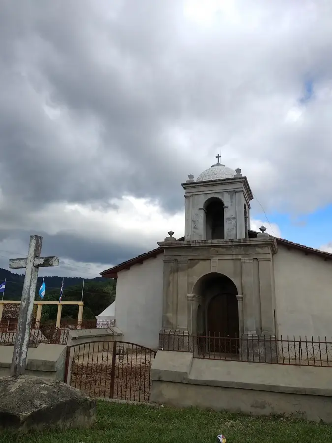
History & landmarks
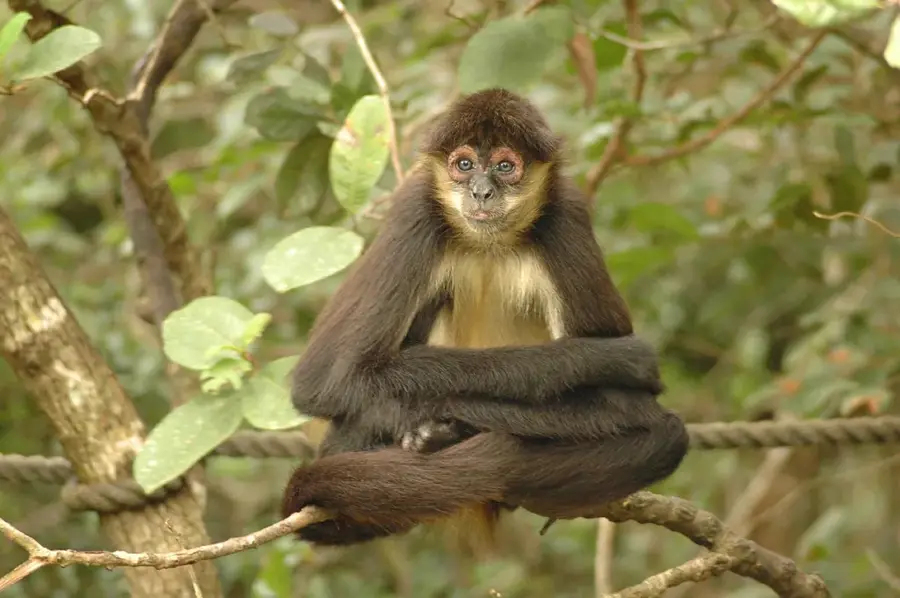
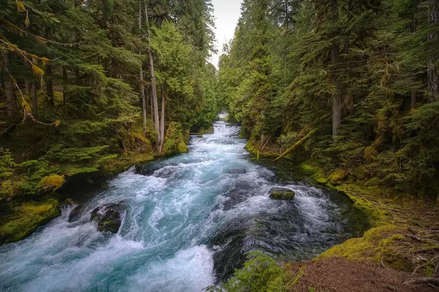
Nature
More places