Plizio Visual Lab
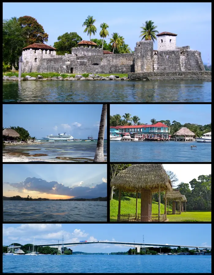
Santo Tomás de Castilla
ℹ️Practical info — Santo Tomás de Castilla
▾
🌤 Weather — 5 days
📍 Nearby
Sights nearby
💡 Tips
- As an active port, pedestrian access inside the dock area is restricted; you will need a taxi or tour to explore beyond it.
- The climate is very hot and humid; light clothing and mosquito repellent are highly recommended.
- It is a primary gateway for boat trips to Livingston or the Río Dulce rather than a standalone destination.
- US dollars are widely accepted near the cruise terminal, but having local Quetzales is better for small purchases.
🍽 Food
A Garifuna seafood and coconut soup specialty available in coastal restaurants towards Puerto Barrios.
A classic Caribbean meal served with plantains, found in small eateries along the bay.
A sweet local staple often sold by street vendors near the port exits.
🛍 Shopping · 🧘 Quiet spots
When a cruise ship is in port, a temporary craft market often pops up near the terminal.
Available in souvenir shops catering to cruise passengers.
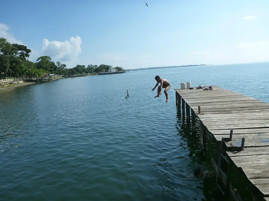
Take a short taxi ride to nearby beach areas for a calmer atmosphere.
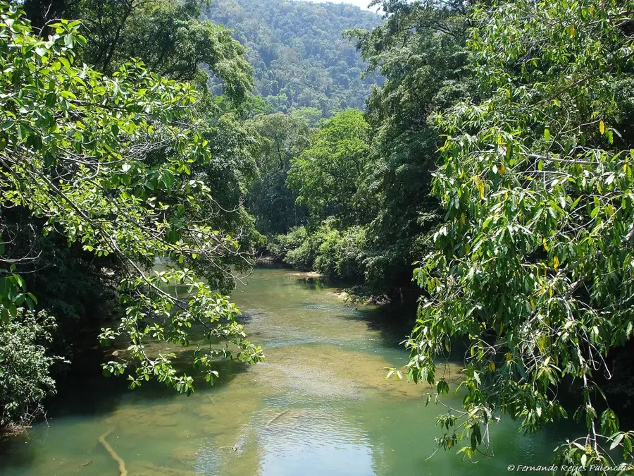
A short drive away in Cerro San Gil, offering peaceful jungle waterfalls and natural pools.
Water temperature…
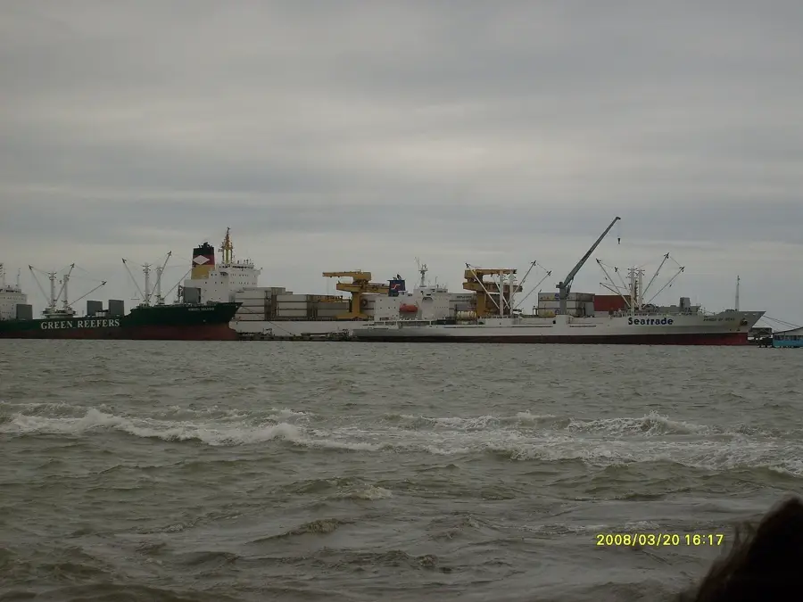
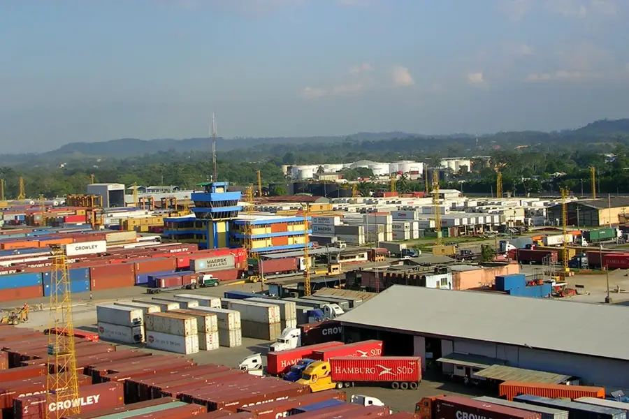
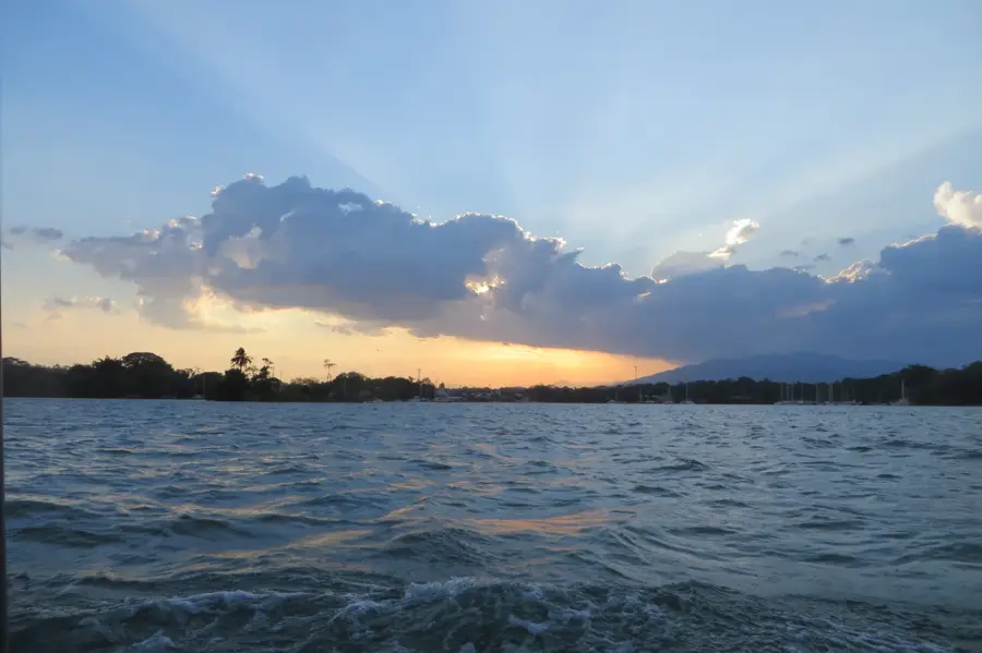
Santo Tomás de Castilla is a major port city located in the Izabal Department, situated on the Amatique Bay along the Caribbean coast. The town's history is unique as it was the site of a failed Belgian colonization attempt in the 1840s. Its modern role as a deep-water port expanded significantly in the 1970s, especially following the 1976 earthquake that damaged the nearby Puerto Barrios port. Located at sea level in a tropical environment, the city's economy is centered on maritime logistics, container shipping, and the export of agricultural goods like bananas and coffee. Santo Tomás has also evolved into a prominent port of call for cruise ships in the Western Caribbean, bolstering local tourism services. The geographical setting is defined by lush coastal vegetation and proximity to the Atlantic trade routes. It serves as a vital gateway for Guatemala's international trade, connected to the capital by the CA-9 highway. Historical remnants of the 1843 Belgian colony can still be found in the local cemetery and old maps.
- Location: Guatemala
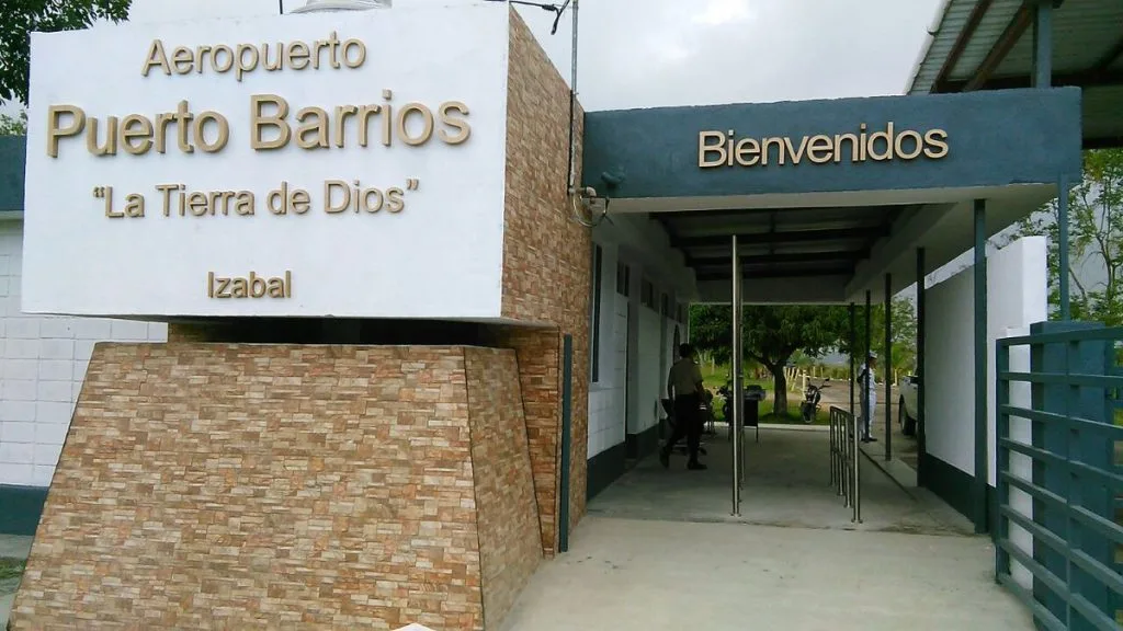
- Nearby: Morales (22 km)
Best time to visit & climate
The most pleasant time to visit is Jan–Mar.
| Jan | Feb | Mar | Apr | May | Jun | Jul | Aug | Sep | Oct | Nov | Dec | |
|---|---|---|---|---|---|---|---|---|---|---|---|---|
| Avg °C | 22 | 23 | 24 | 26 | 27 | 26 | 25 | 25 | 25 | 24 | 23 | 22 |
| Rain mm | 105 | 78 | 61 | 51 | 127 | 214 | 188 | 195 | 227 | 205 | 174 | 113 |
Geography
Facts
- The city is located at sea level on the Caribbean coast.
- Founded in 1843 as a colony by the Belgian Colonization Company.
- It is the primary deep-water port for Guatemala on the Atlantic.
- Situated approximately 295 kilometers from Guatemala City.
- The port handles a significant portion of the country's fruit exports.
- It is a major stop for international cruise lines in the region.
Explore nearby
Notable places around
Route planner — Car & Motorhome
Where do you start? We build the route here, with stops and country notes along the way.
© OpenStreetMap contributors · OpenRouteService
Frequently asked questions
What is the main function of Santo Tomás de Castilla?
Are there beaches nearby?
What can you visit starting from the port?
What is the climate like on the Caribbean coast?
What language is spoken in the region?
Santo Tomás de Castilla: where is it located?
Santo Tomás de Castilla: when is the best time to visit?
Santo Tomás de Castilla: why is it worth visiting?

Nearby cities


Nature
More places