Plizio Visual Lab
Gonaïves

ℹ️Practical info — Gonaïves
▾
🌤 Weather — 5 days
📍 Nearby
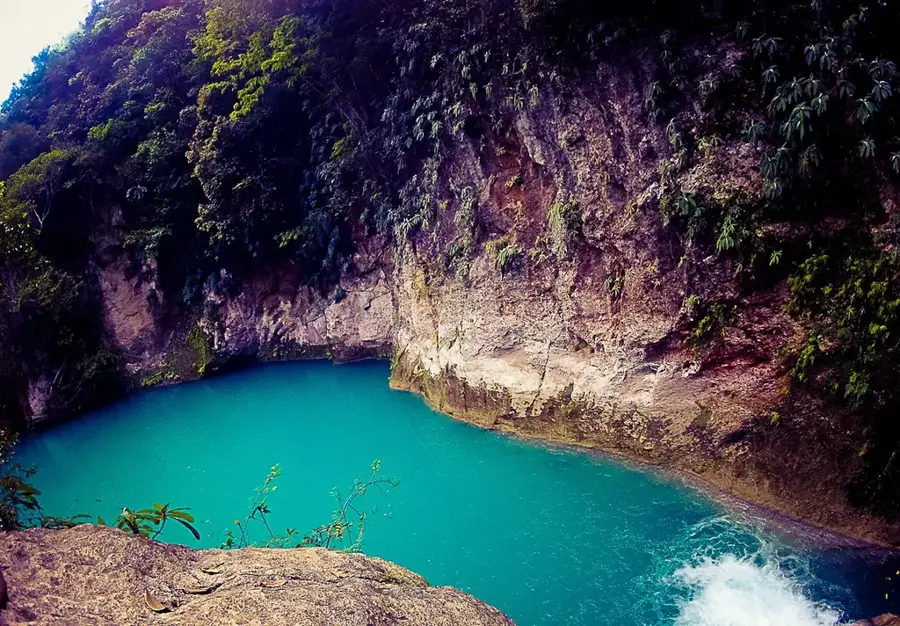
Sights nearby
💡 Tips
- Visit the Place d'Armes where Haiti's independence was declared in 1804.
- The climate here is extremely hot and dry; stay hydrated and seek shade during the midday hours.
- Road conditions can be challenging; consider hiring a local driver with a 4x4 vehicle for trips outside the city.
- Cash is king; ensure you have enough Haitian Gourdes as ATMs can be unreliable.
🍽 Food
A savory stew made from jute leaves, beef, and crab, strongly associated with the Artibonite region.
Try this classic Haitian dish of marinated and fried pork chunks, served with spicy pikliz.
Look for vendors selling freshly caught and fried fish near the coastal areas.
🛍 Shopping · 🧘 Quiet spots
An animated and chaotic local market where you can buy fresh regional produce and spices.
The Artibonite Valley is Haiti's rice bowl; purchasing local rice supports regional farmers.
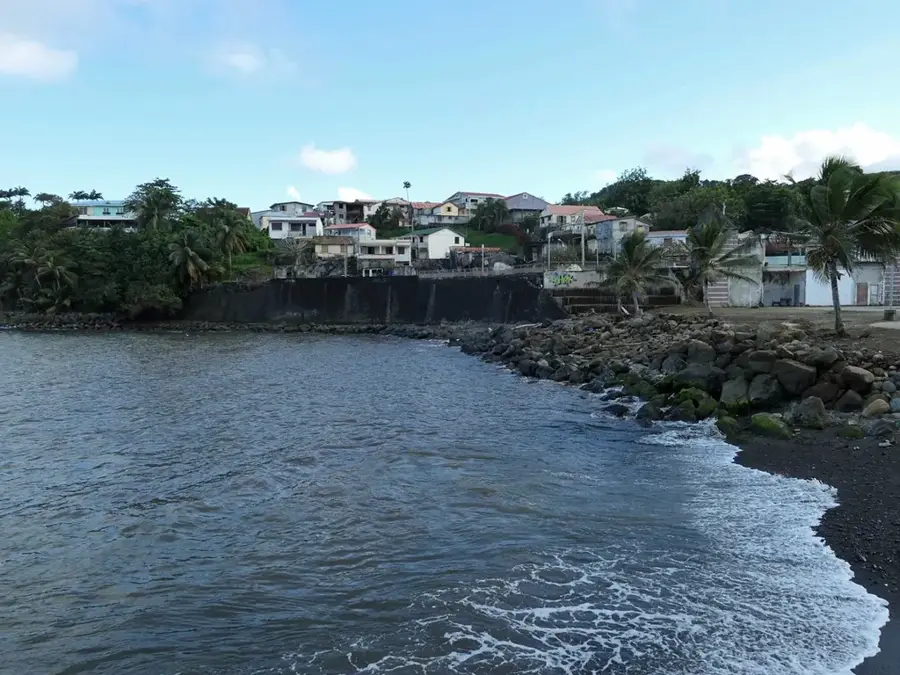
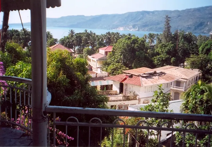
Take a slow drive or walk along the coastal fringes of the city for ocean breezes.
The historical squares are often quieter in the early morning for peaceful reflection.
Water temperature…
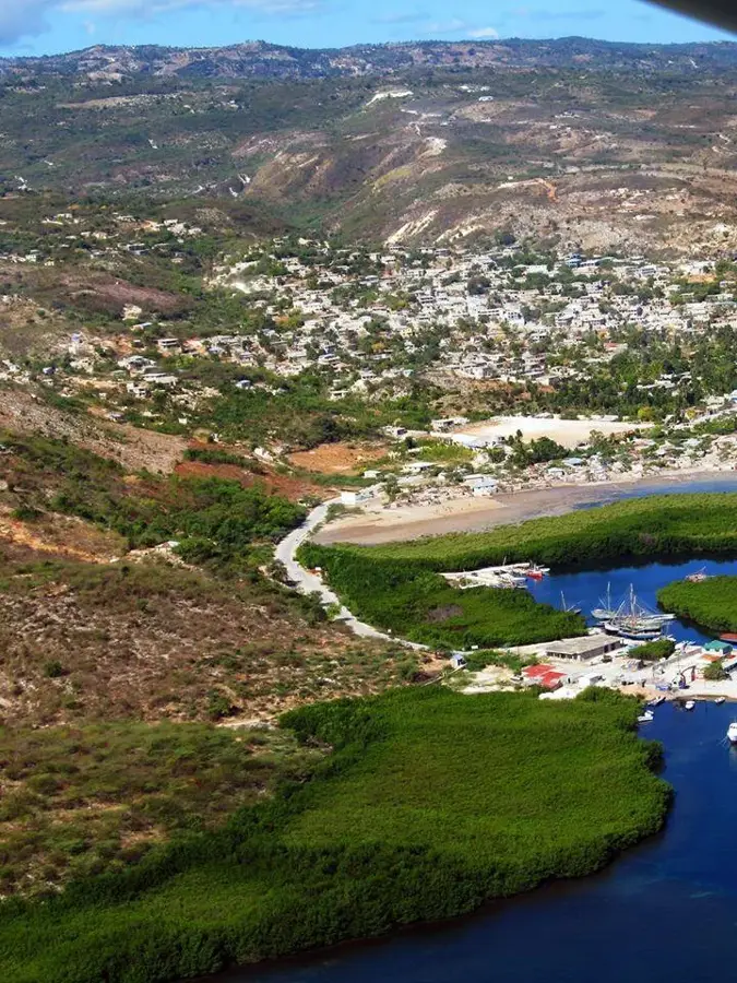
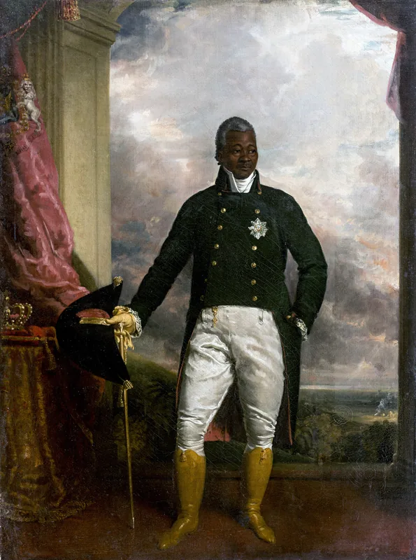
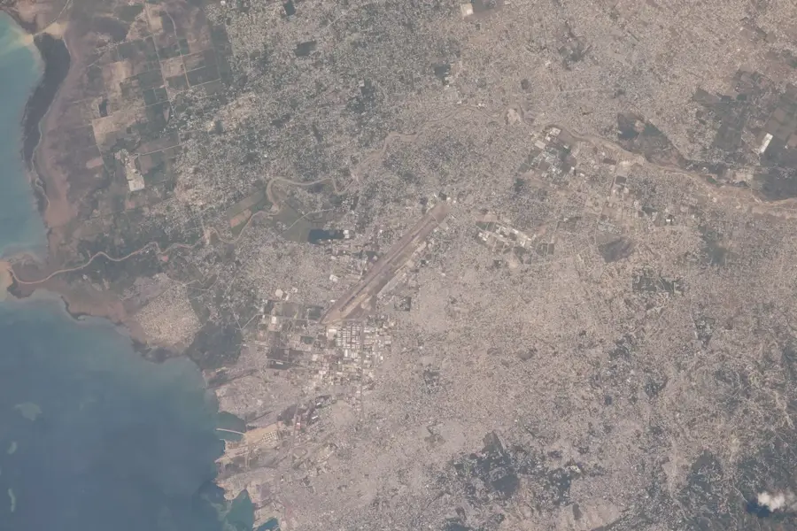
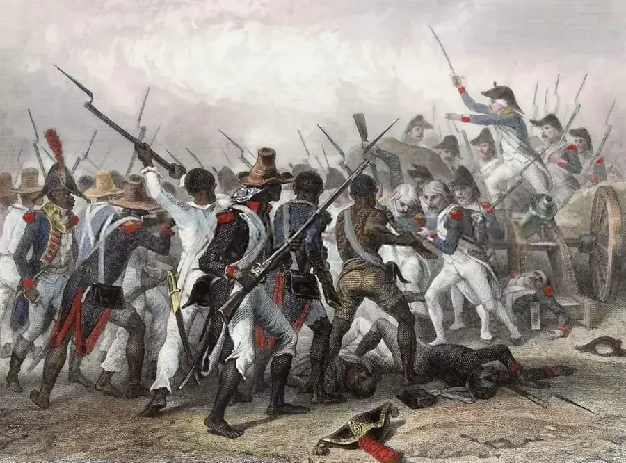
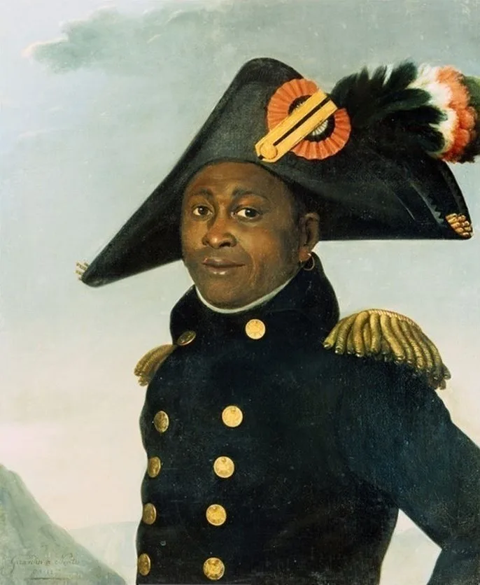
Gonaïves is a city of profound historical significance in western Haiti, widely honored as the 'City of Independence'. It was here on January 1, 1804, that Jean-Jacques Dessalines formally proclaimed Haiti's independence from French colonial rule, establishing the world's first free black republic. The city is situated on the Bay of Gonaïves and functions as the capital of the Artibonite Department, the nation's primary agricultural breadbasket. Due to its location on a low-lying coastal plain, Gonaïves is exceptionally vulnerable to natural disasters; it suffered catastrophic flooding during Tropical Storm Jeanne in 2004 and Hurricane Hanna in 2008, which caused widespread destruction. Economically, the city is a major center for sea salt production and the trade of agricultural products like rice and fruits from the nearby Artibonite Valley. Despite its environmental challenges, Gonaïves remains an animated political hub, often serving as the starting point for significant national movements and social change in Haitian history.
- Location: Haiti
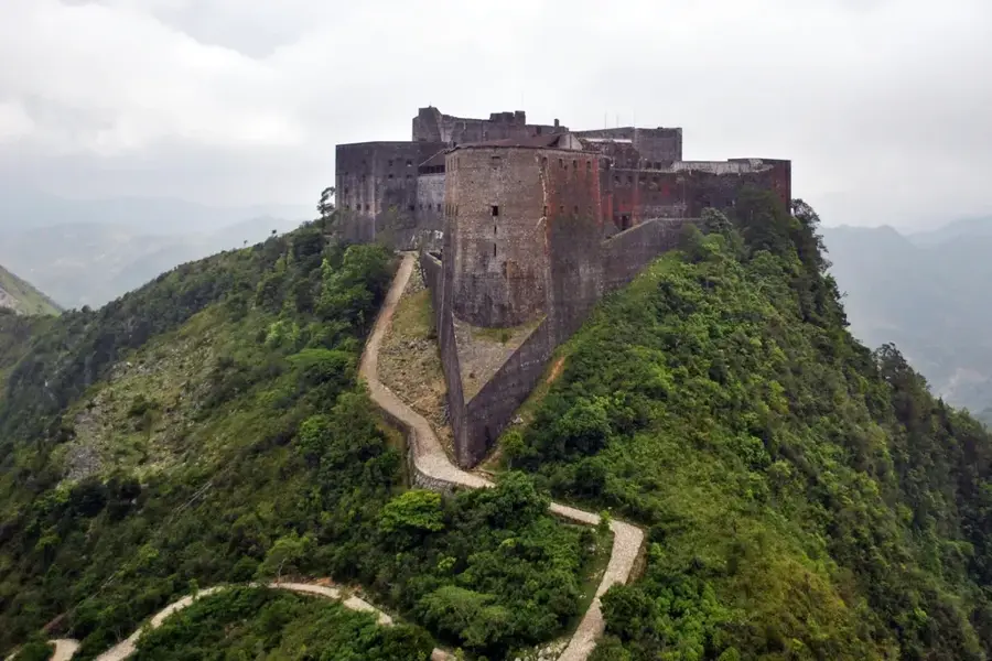
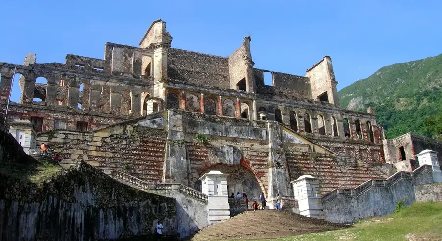
- Top sights: espace fleur · Baie Des Gonaives · Morne Biénac
- Nearby: Anse-à-Galets (La Gonâve) (29 km)
- Population: ~84.961 (2019)
Best time to visit & climate
The most pleasant time to visit is Jan, Feb, Dec.
| Jan | Feb | Mar | Apr | May | Jun | Jul | Aug | Sep | Oct | Nov | Dec | |
|---|---|---|---|---|---|---|---|---|---|---|---|---|
| Avg °C | 23 | 24 | 24 | 26 | 26 | 27 | 28 | 28 | 27 | 26 | 25 | 24 |
| Rain mm | 35 | 21 | 29 | 34 | 58 | 39 | 33 | 49 | 55 | 79 | 72 | 38 |
History & landmarks
1804
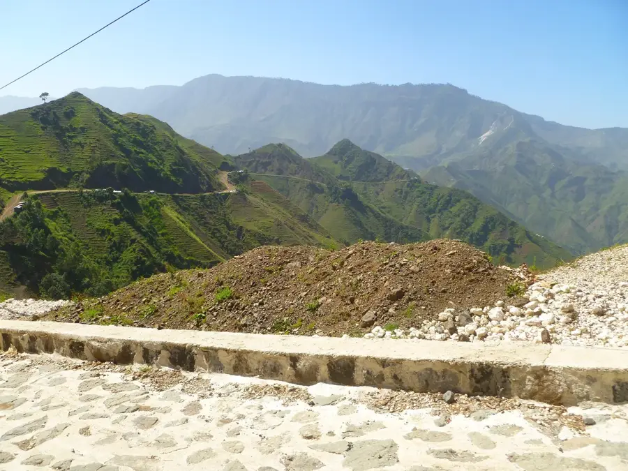
Geography
Facts
- The Haitian Declaration of Independence was signed here in 1804.
- The city is formally known as the 'City of Independence'.
- It serves as the capital of the Artibonite Department.
- The city is a major center for the nation's sea salt production.
- Catastrophic flooding occurred in 2004 due to Tropical Storm Jeanne.
- It is located on a coastal plain along the Bay of Gonaïves.
Explore nearby
Notable places around
Route planner — Car & Motorhome
Where do you start? We build the route here, with stops and country notes along the way.
© OpenStreetMap contributors · OpenRouteService
Sights in the town Gonaïves (6)
Frequently asked questions
Why is it called the 'City of Independence'?
What is the weather like there?
What can you see in the surroundings?
Is the city well-connected?
Are there any museums?
Gonaïves: where is it located?
Gonaïves: what is there to see?
Gonaïves: when is the best time to visit?
Gonaïves: why is it worth visiting?

Nearby cities


History & landmarks
Nature

More places