Plizio Visual Lab
Artibonite River

Weather…
Water temperature…
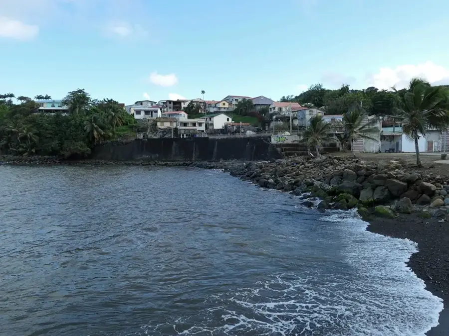
The Artibonite River is the longest and most significant waterway on the island of Hispaniola, spanning approximately 320 kilometers. It originates in the Cordillera Central of the Dominican Republic and flows westward through Haiti before emptying into the Gulf of Gonâve. The river is essential for Haitian agriculture, providing the primary source of irrigation for the vast rice fields in the fertile Artibonite Valley. In 1956, the construction of the Péligre Dam created a massive reservoir that serves as Haiti's largest source of hydroelectric power. Tragically, the river gained international attention in 2010 when it was identified as the source of a major cholera outbreak. Despite these challenges, the Artibonite remains the lifeblood of the region, supporting the livelihoods of millions who depend on it for drinking water, fishing, and sustainable farming practices.
- Location: Haiti
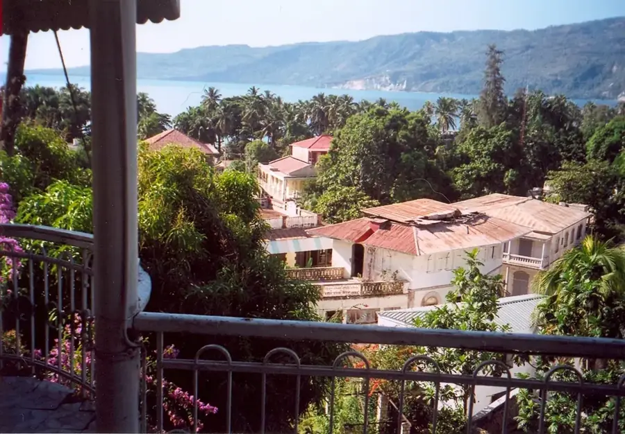
- Nearby: Gonaïves (15 km)
Best time to visit & climate
The most pleasant time to visit is Jan, Feb, Dec.
| Jan | Feb | Mar | Apr | May | Jun | Jul | Aug | Sep | Oct | Nov | Dec | |
|---|---|---|---|---|---|---|---|---|---|---|---|---|
| Avg °C | 25 | 25 | 26 | 27 | 28 | 29 | 29 | 29 | 28 | 27 | 26 | 25 |
| Rain mm | 25 | 18 | 24 | 35 | 60 | 39 | 34 | 56 | 48 | 73 | 60 | 29 |
📋 Practical info
Geography
Facts
- The Artibonite is 320 kilometers long, making it the longest river on Hispaniola.
- Its drainage basin covers approximately 9,500 square kilometers across two nations.
- The Péligre Dam was completed in 1956 to provide hydroelectric power to Port-au-Prince.
- The Artibonite Valley produces nearly 80% of the total rice consumed in Haiti.
- A segment of the river marks the international border with the Dominican Republic.
- It empties into the Gulf of Gonâve on the western coast of the island.
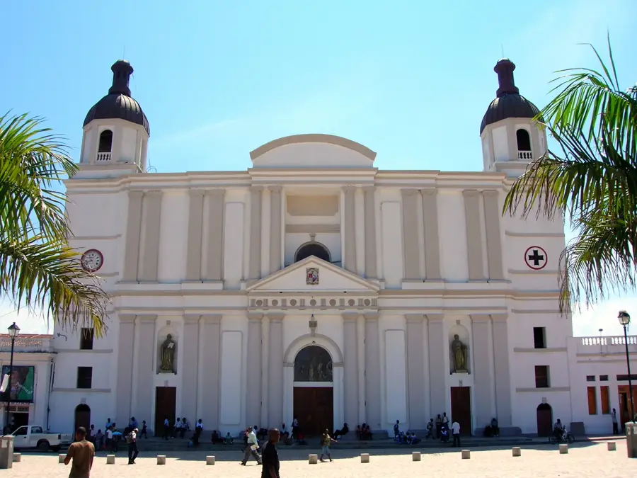
Explore nearby
Notable places around
Route planner — Car & Motorhome
Where do you start? We build the route here, with stops and country notes along the way.
© OpenStreetMap contributors · OpenRouteService
Sights nearby
Frequently asked questions
How long is the river?
What is its importance for agriculture?
Is there a dam?
Is boating possible on the river?
Is there a risk of flooding?
Artibonite River: where is it located?
Artibonite River: when is the best time to visit?
Artibonite River: why is it worth visiting?

Nearby cities


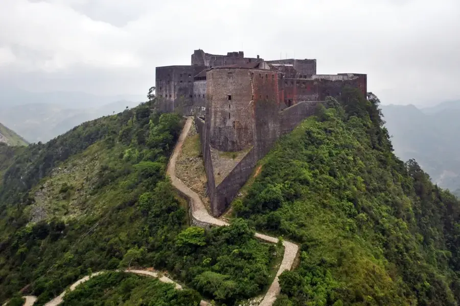
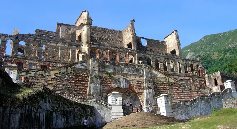
History & landmarks


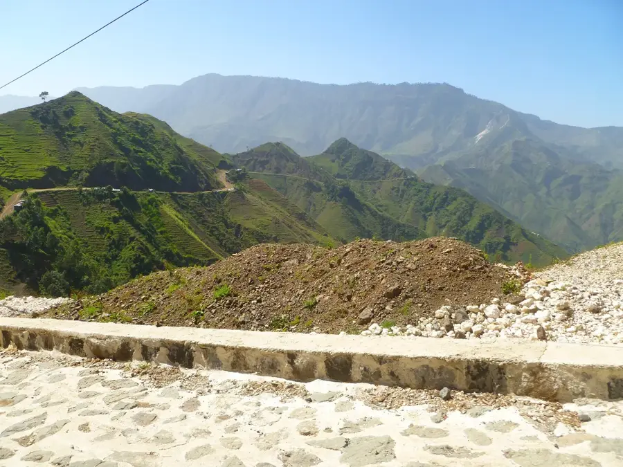
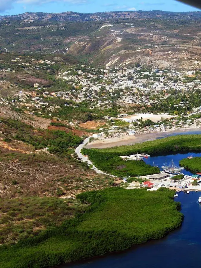
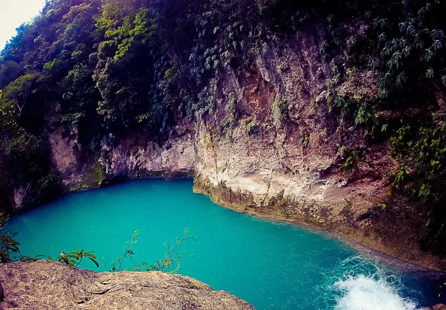
Nature
More places