Plizio Visual Lab
Desolate Savannah
Weather…
Water temperature…
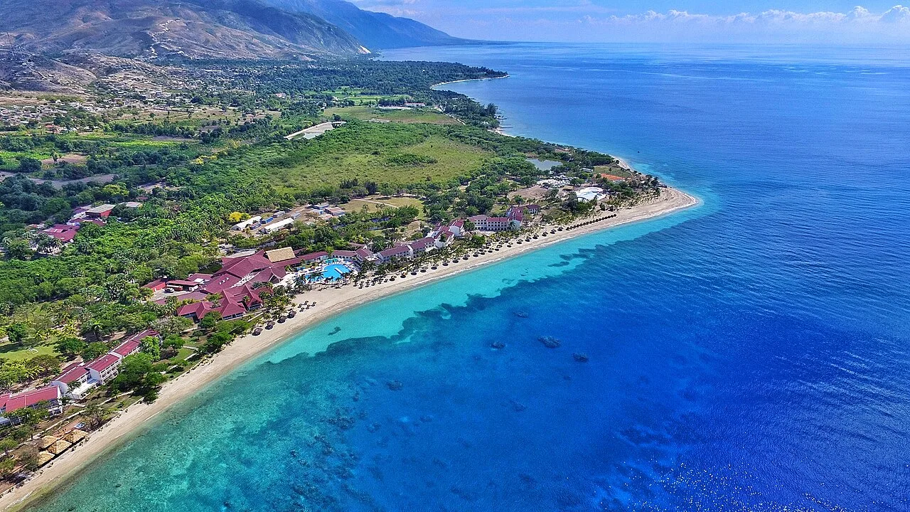
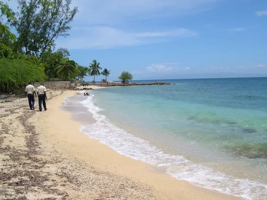
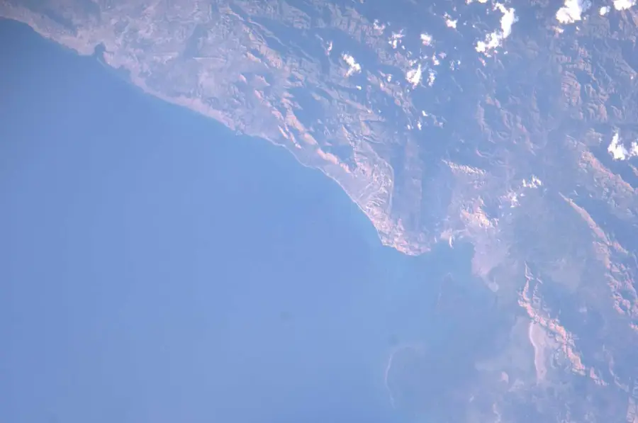
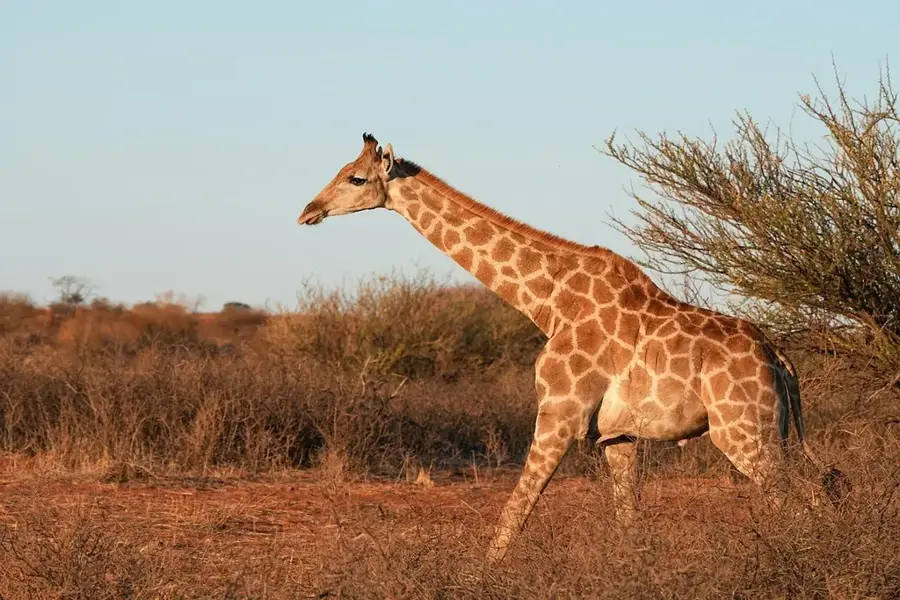
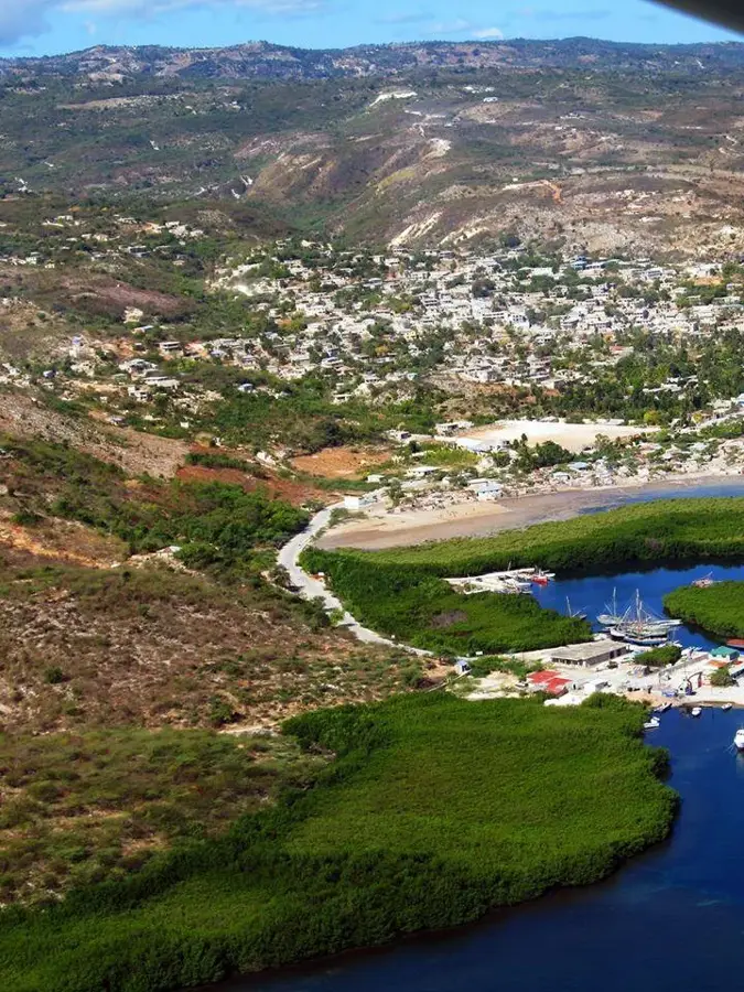
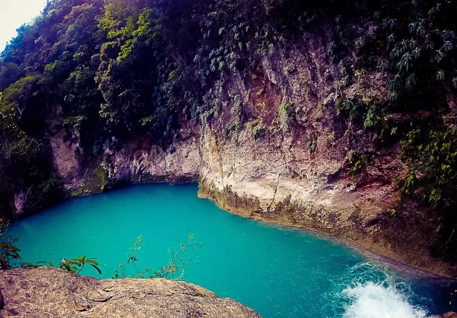
Savane Désolée is a barren, semi-arid plain located within the Artibonite Valley, known for its extreme climatic conditions and harsh environment. The landscape is characterized by thorny scrub, resilient cacti, and vast, often parched grasslands. Due to low annual rainfall and high evaporation rates, conventional agriculture is severely limited, making the region primarily suitable for extensive goat and cattle ranching. Geologically, the plain is a sedimentary basin with saline soils that further impede plant growth. Despite its name, which translates to 'Desolate Savannah,' the area possesses a stark, rugged beauty and serves as a vital example of Haiti's drought-resistant flora. Local communities have adapted over generations, developing specialized techniques to sustain livelihoods in this challenging and unforgiving terrain.
- Location: Haiti
- Nearby: Gonaïves (9 km)
Best time to visit & climate
The most pleasant time to visit is Jan, Feb, Dec.
| Jan | Feb | Mar | Apr | May | Jun | Jul | Aug | Sep | Oct | Nov | Dec | |
|---|---|---|---|---|---|---|---|---|---|---|---|---|
| Avg °C | 23 | 24 | 24 | 26 | 26 | 27 | 28 | 28 | 27 | 26 | 25 | 24 |
| Rain mm | 35 | 21 | 29 | 34 | 58 | 39 | 33 | 49 | 55 | 79 | 72 | 38 |
📋 Practical info
Geography
Facts
- Located in the rain shadow of the mountains.
- Annual rainfall often falls below 500mm.
- Saline soils severely limit crop farming.
- Major hub for Haitian goat husbandry.
- Home to several species of endemic cacti.
- Strong winds significantly increase evaporation.
Explore nearby
Notable places around
Route planner — Car & Motorhome
Where do you start? We build the route here, with stops and country notes along the way.
© OpenStreetMap contributors · OpenRouteService
Sights nearby
Frequently asked questions
What does the name Savane Désolée mean?
Where is this savannah located?
What can you see there?
Is it very hot there?
How do you reach the region?
Desolate Savannah: where is it located?
Desolate Savannah: when is the best time to visit?
Desolate Savannah: why is it worth visiting?

Nearby cities


History & landmarks


Nature

More places