Plizio Visual Lab
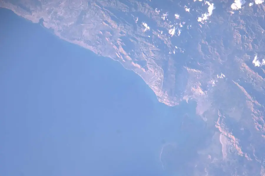
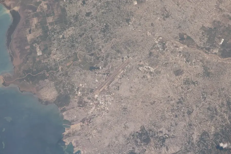
Artibonite Plain Agricultural Region
Weather…
Water temperature…
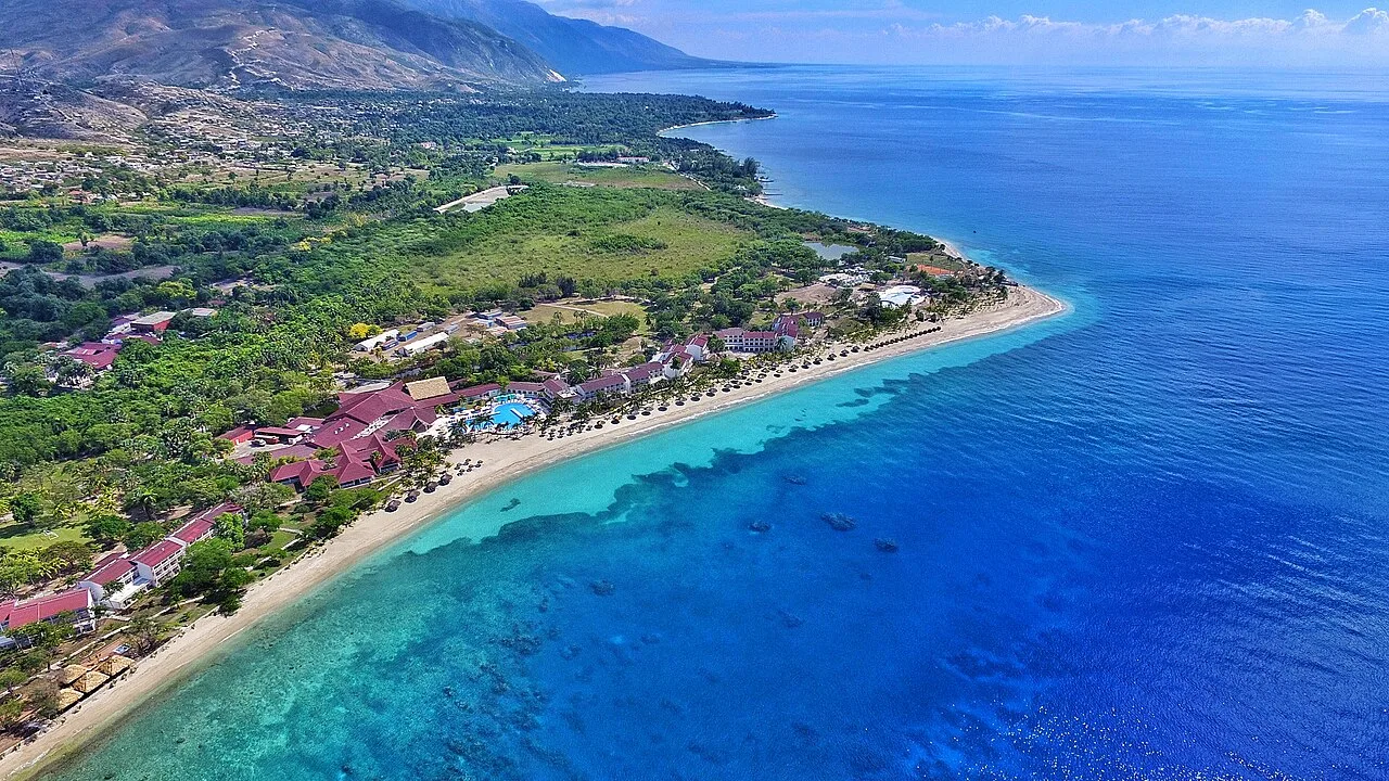
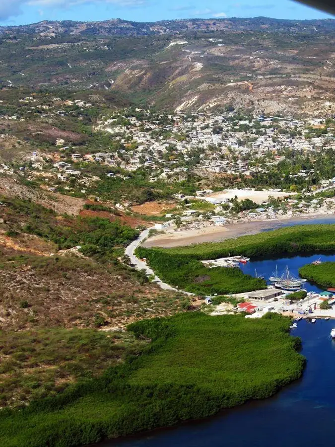
The Artibonite Plain is Haiti's most vital agricultural region, widely regarded as the nation's breadbasket. It stretches along the lower reaches of the Artibonite River, the longest river on the island of Hispaniola, encompassing vast tracts of fertile alluvial soil. The region's productivity was significantly boosted in the 1950s with the completion of the Peligre Dam, which enabled large-scale irrigation and hydroelectric power generation. Today, the plain is the primary center for rice cultivation in Haiti, playing a critical role in national food security and supporting the livelihoods of thousands of small-scale farmers. Beyond rice, the area produces substantial quantities of sugar cane, bananas, and various market vegetables destined for the country's urban centers. The socio-economic importance of the Artibonite cannot be overstated, as it remains the heart of Haiti's rural economy. However, the region faces significant challenges, including soil salinization, aging irrigation infrastructure, and competition from international food imports. Despite these hurdles, the Artibonite Plain remains a symbol of agricultural potential and rural heritage, where traditional farming techniques meet the ongoing efforts for modern sustainable development.
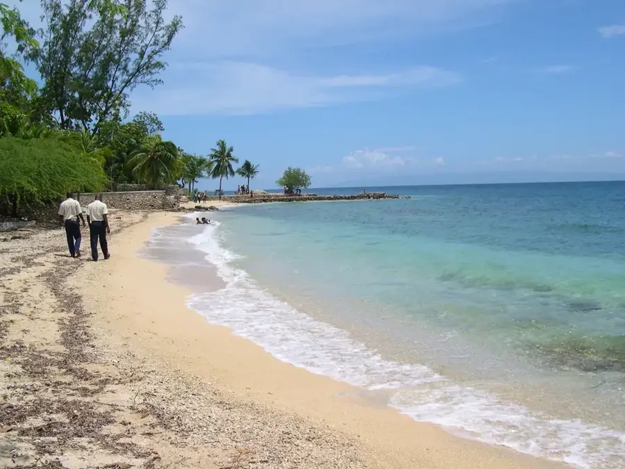
- Location: Haiti
- Nearby: Gonaïves (12 km)
Best time to visit & climate
The most pleasant time to visit is Jan, Feb, Dec.
| Jan | Feb | Mar | Apr | May | Jun | Jul | Aug | Sep | Oct | Nov | Dec | |
|---|---|---|---|---|---|---|---|---|---|---|---|---|
| Avg °C | 25 | 25 | 26 | 27 | 28 | 29 | 29 | 29 | 28 | 27 | 26 | 25 |
| Rain mm | 25 | 18 | 24 | 35 | 60 | 39 | 34 | 56 | 48 | 73 | 60 | 29 |
📋 Practical info
Geography
Facts
- The plain covers an area of approximately 95,000 hectares (235,000 acres).
- The Artibonite River is the longest in Hispaniola, at 320 km (200 miles).
- It accounts for approximately 80% of Haiti's domestic rice output.
- The Peligre Dam, completed in 1956, is a key piece of infrastructure.
- The region's irrigation system serves over 28,000 hectares of farmland.
- It is the most densely populated rural area in the Republic of Haiti.
Explore nearby
Notable places around
Route planner — Car & Motorhome
Where do you start? We build the route here, with stops and country notes along the way.
© OpenStreetMap contributors · OpenRouteService
Sights nearby
Frequently asked questions
What is grown in the Artibonite Plain?
Can you visit the farms?
When is harvest time?
Are there markets there?
What is the terrain like?
Artibonite Plain Agricultural Region: where is it located?
Artibonite Plain Agricultural Region: when is the best time to visit?
Artibonite Plain Agricultural Region: why is it worth visiting?

Nearby cities


History & landmarks
Nature

More places