Plizio Visual Lab
Irazú Volcano
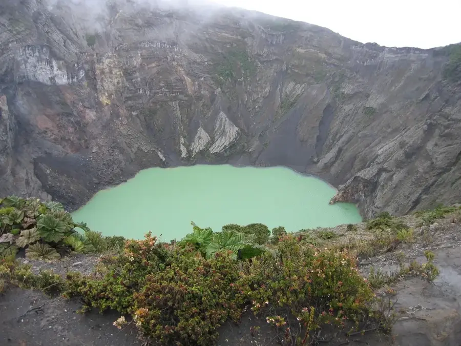
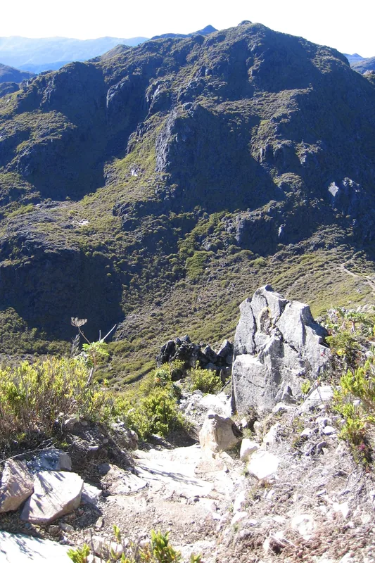
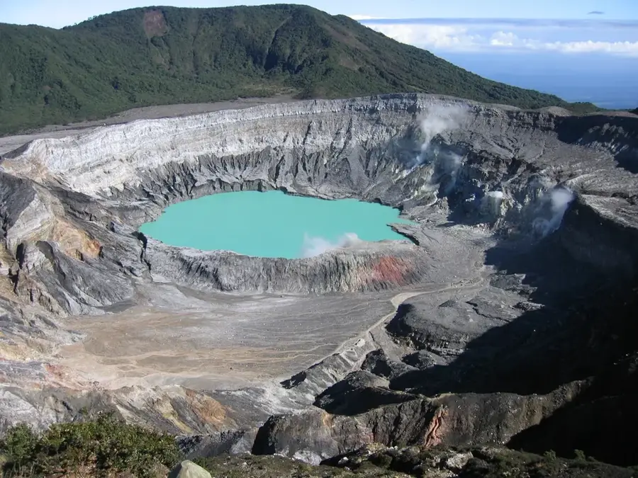
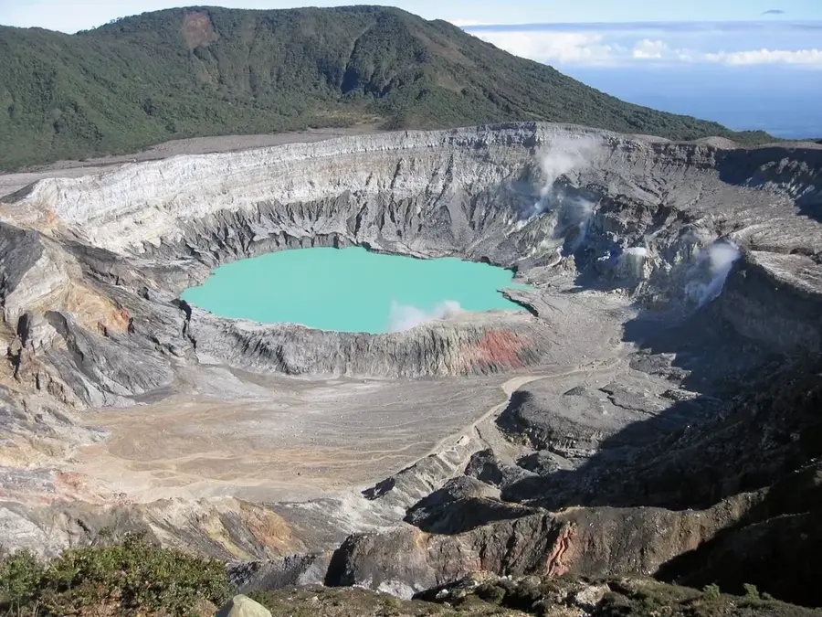
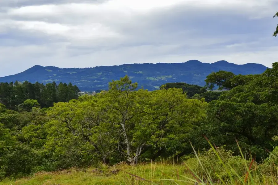
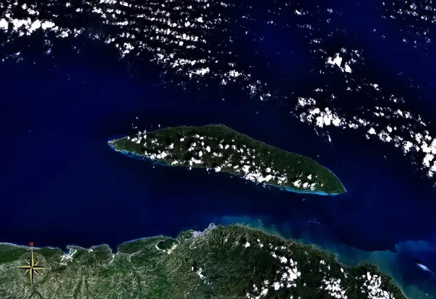
Irazú Volcano is the highest active volcano in Costa Rica, situated in the Central Volcanic Range within the Cartago Province. Standing at an impressive 3,432 meters above sea level, it is famous for the fact that on clear days, it is possible to see both the Pacific Ocean and the Caribbean Sea from its summit. The name 'Irazú' is derived from an indigenous word meaning 'mountain of thunder and tremors.' The volcano gained international attention for its major eruptive cycle between 1963 and 1965, which coincided with the visit of U.S. President John F. Kennedy and blanketed San José in ash. The summit features a desolate, lunar-like landscape with several distinct craters, the largest of which is 1,050 meters wide and 300 meters deep. A bright green acidic lake often forms in the main crater, though its level and color fluctuate due to rainfall and volcanic activity. The Irazú Volcano National Park was established in 1955, protecting the unique high-altitude paramo vegetation and providing a critical site for scientific study.
- Location: Costa Rica
- Top sights: Irazú Volcano National Park · Cordillera Central (Costa Rica)
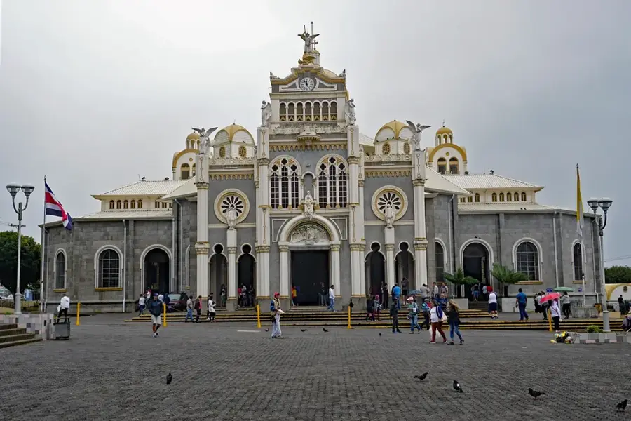
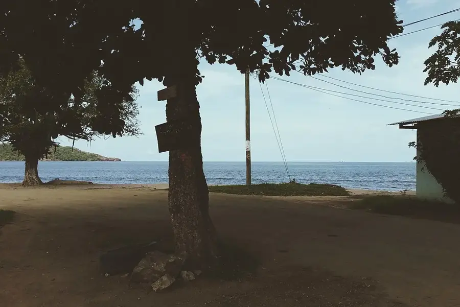
- Nearby: Cot (6 km)
Best time to visit & climate
The most pleasant time to visit is Feb–Apr.
| Jan | Feb | Mar | Apr | May | Jun | Jul | Aug | Sep | Oct | Nov | Dec | |
|---|---|---|---|---|---|---|---|---|---|---|---|---|
| Avg °C | 19 | 19 | 20 | 21 | 21 | 21 | 20 | 21 | 21 | 20 | 20 | 20 |
| Rain mm | 119 | 70 | 76 | 117 | 243 | 239 | 253 | 214 | 231 | 285 | 258 | 162 |
📋 Practical info
Geography
Facts
- Irazú is the highest active volcano in Costa Rica at 3,432 meters.
- The main crater measures 1,050 meters across and 300 meters deep.
- The 1963-1965 eruption coincided with a visit by President John F. Kennedy.
- It is the only place in the country where both oceans can be seen at once.
- The Irazú Volcano National Park was officially established in 1955.
- The summit's climate is much colder, with temperatures often below 10°C.
Explore nearby
Notable places around
Route planner — Car & Motorhome
Where do you start? We build the route here, with stops and country notes along the way.
© OpenStreetMap contributors · OpenRouteService
Sights in the town Irazú Volcano (2)
Sights nearby
Frequently asked questions
How high is the Irazú Volcano?
Can you see the crater lake?
How is the climate at the summit?
Can you see both oceans from there?
How far is it from San José?
Irazú Volcano: where is it located?
Irazú Volcano: what is there to see?
Irazú Volcano: when is the best time to visit?
Irazú Volcano: why is it worth visiting?

Nearby cities

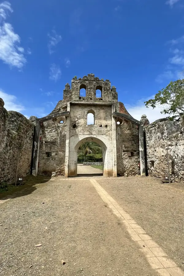
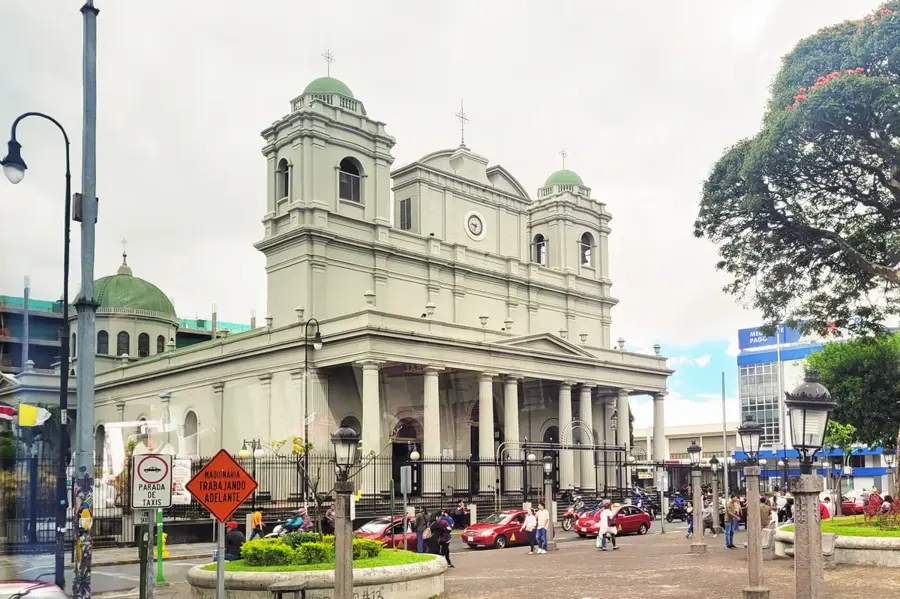
History & landmarks
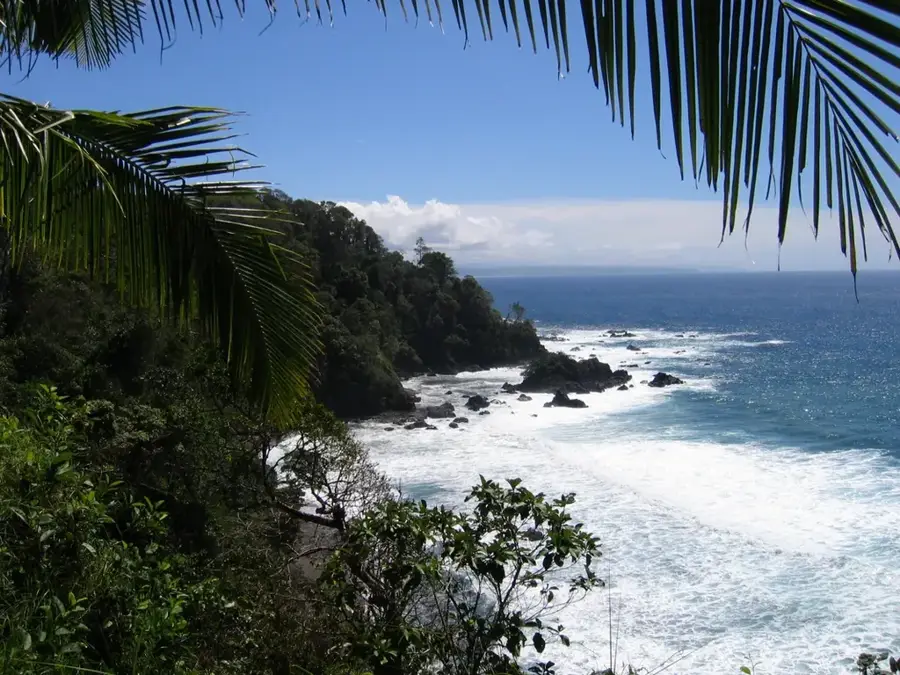
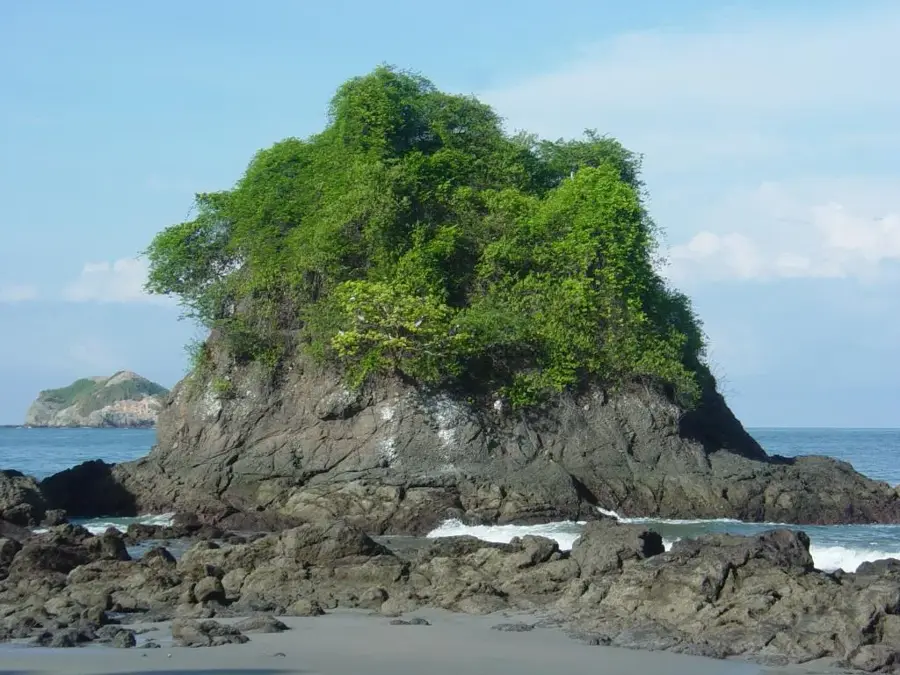
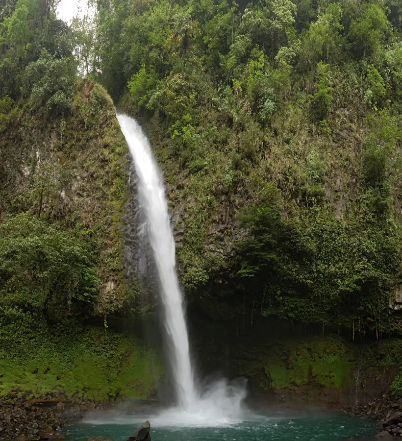
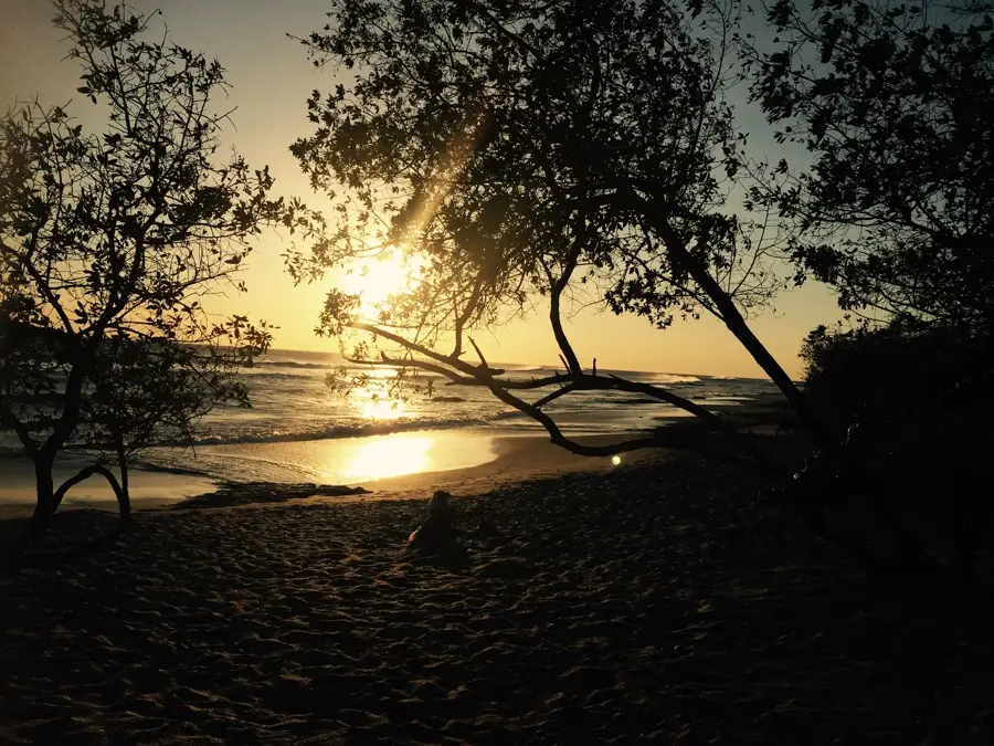
Nature
More places