Plizio Visual Lab
Cerro Chirripo
Weather…
Water temperature…
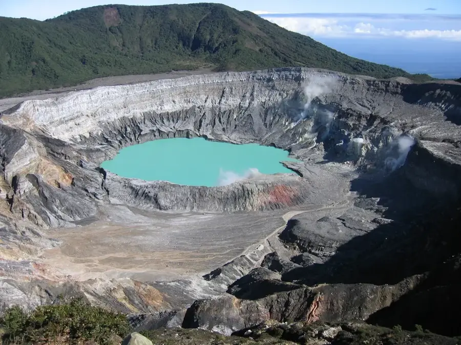
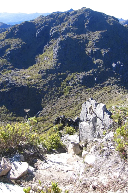
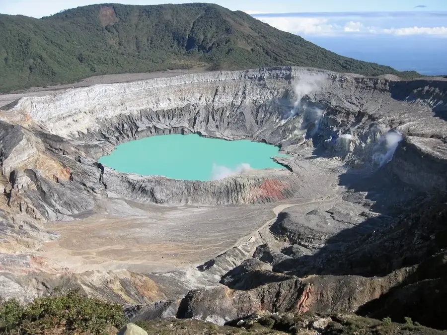
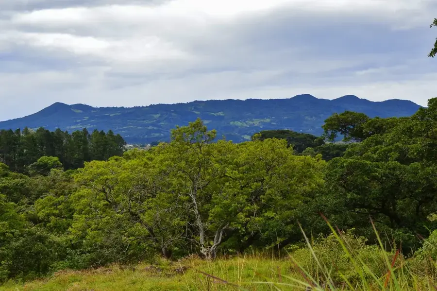
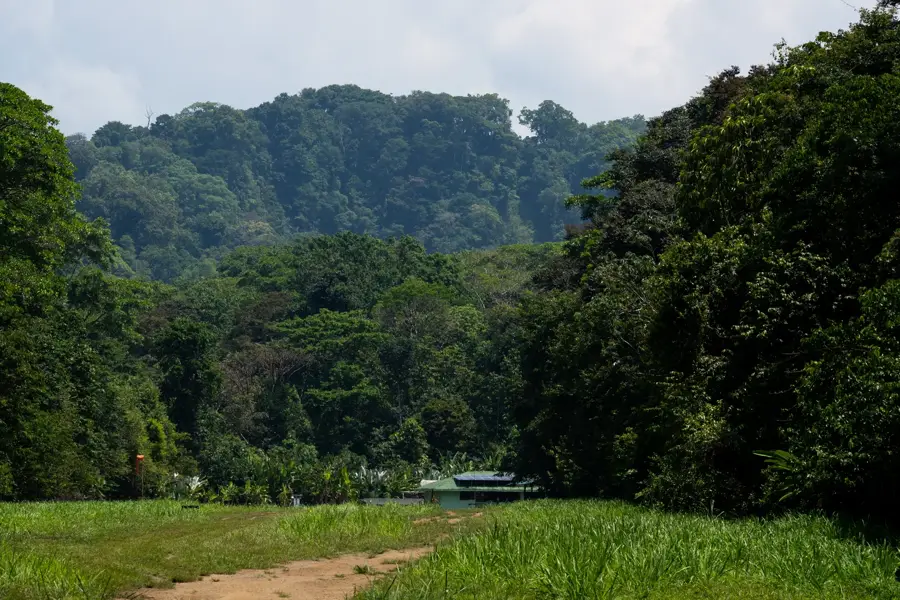
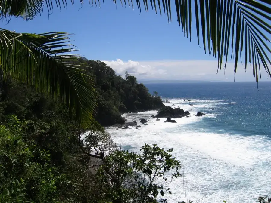
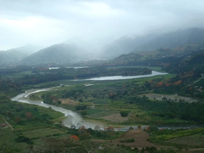
Cerro Chirripó is the highest peak in Costa Rica, reaching an elevation of 3,820 meters (12,533 feet) above sea level within the Talamanca Mountain Range. This massive formation is ecologically significant for hosting the northernmost extent of the páramo ecosystem, a high-altitude tundra characterized by unique, frost-resistant flora. The landscape bears the marks of ancient Pleistocene glaciers, featuring U-shaped valleys, moraines, and several high-altitude lakes like the Crestones and Lake Chirripó. On exceptionally clear days, climbers are rewarded with the unique ability to see both the Pacific Ocean and the Caribbean Sea from the summit. The ascent is one of the most rigorous trekking experiences in Central America, spanning multiple life zones from premontane forests to sub-alpine scrub. As part of Chirripó National Park, the area is protected as a UNESCO World Heritage site, safeguarding a vast array of endemic species and primary cloud forests. Nighttime temperatures frequently drop below freezing, creating a stark contrast to the country's typical tropical climate.
- Location: Costa Rica
- Top sights: Chirripó National Park · Cerro Chirripó
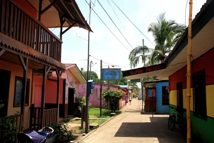
- Nearby: Siquirres (8 km)
Best time to visit & climate
The most pleasant time to visit is Jan–Mar.
| Jan | Feb | Mar | Apr | May | Jun | Jul | Aug | Sep | Oct | Nov | Dec | |
|---|---|---|---|---|---|---|---|---|---|---|---|---|
| Avg °C | 21 | 21 | 22 | 22 | 22 | 22 | 21 | 21 | 21 | 21 | 21 | 21 |
| Rain mm | 101 | 60 | 73 | 125 | 253 | 240 | 266 | 226 | 233 | 277 | 254 | 150 |
📋 Practical info
Geography
Facts
- Highest peak in Costa Rica at 3,820 meters (12,533 feet).
- Located within the Talamanca Range, a non-volcanic mountain chain.
- Features glacial lakes and valleys formed during the last Ice Age.
- One of the few places where both oceans are visible from the summit.
- Home to a unique sub-alpine páramo ecosystem.
- Chirripó National Park was officially established in 1975.
Explore nearby
Notable places around
Route planner — Car & Motorhome
Where do you start? We build the route here, with stops and country notes along the way.
© OpenStreetMap contributors · OpenRouteService
Sights in the town Cerro Chirripo (2)
Sights nearby
Frequently asked questions
How high is Cerro Chirripó?
Do I need a permit for the hike?
How long does the climb take?
Can you see both oceans from the summit?
What equipment is necessary?
Cerro Chirripo: where is it located?
Cerro Chirripo: what is there to see?
Cerro Chirripo: when is the best time to visit?
Cerro Chirripo: why is it worth visiting?

Nearby cities

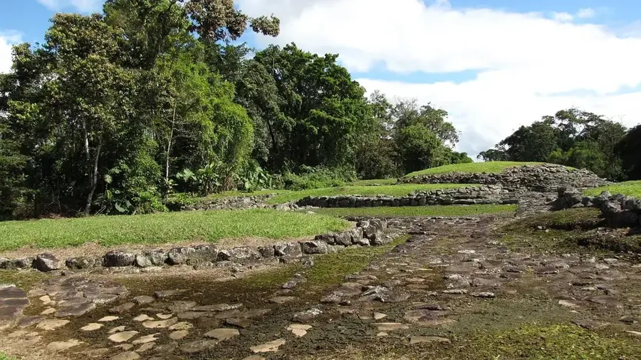
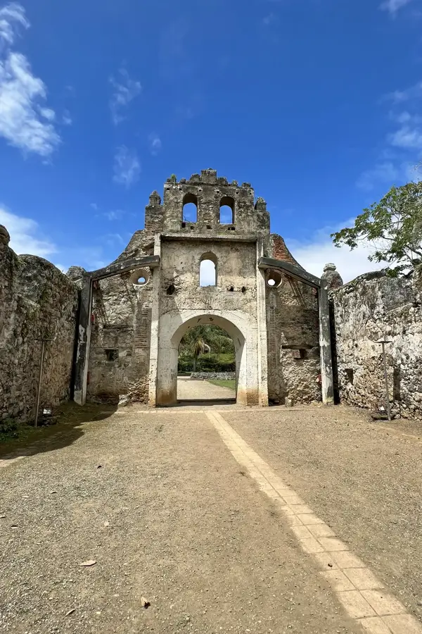
History & landmarks
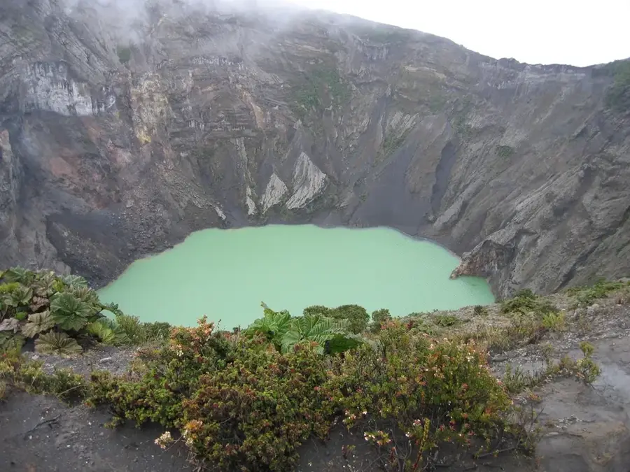
Nature

More places