Plizio Visual Lab
Reventazon River
Weather…
Water temperature…
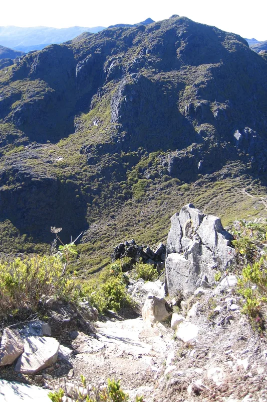
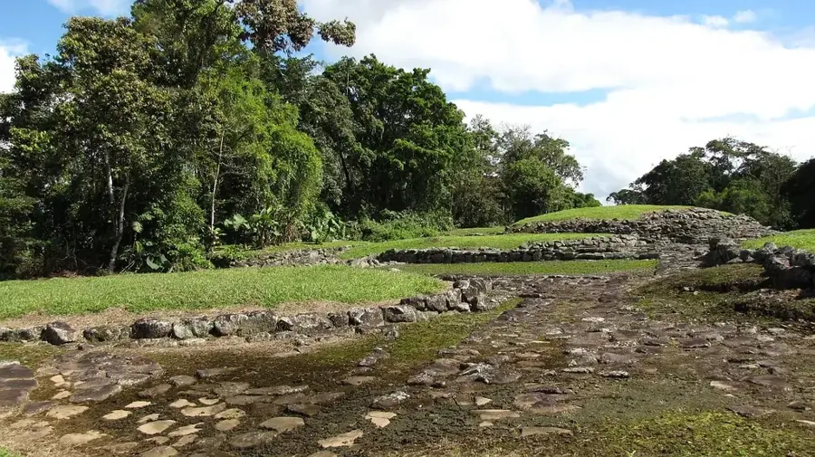
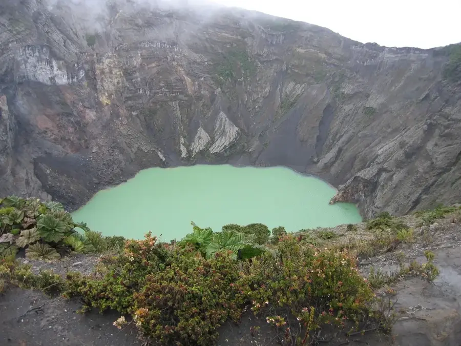
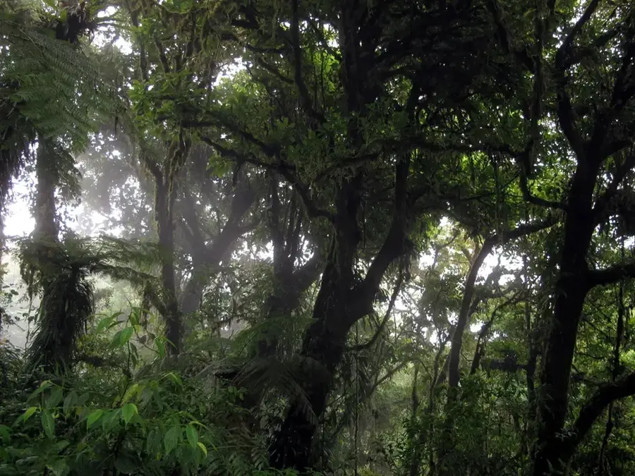
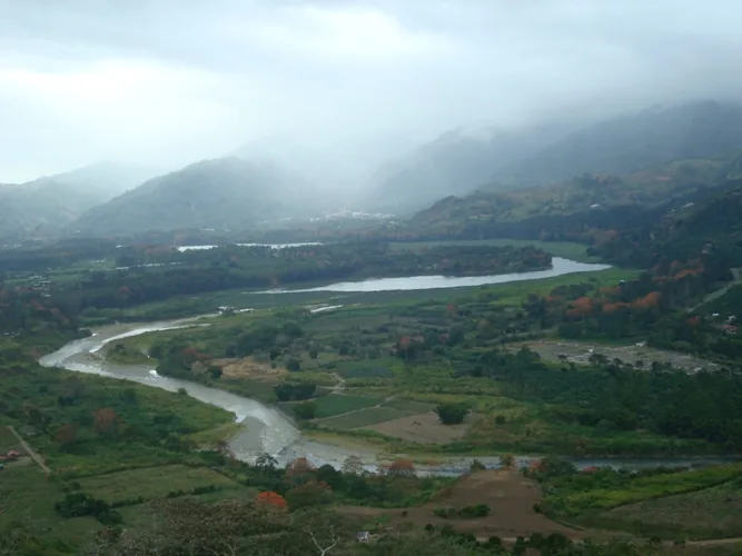
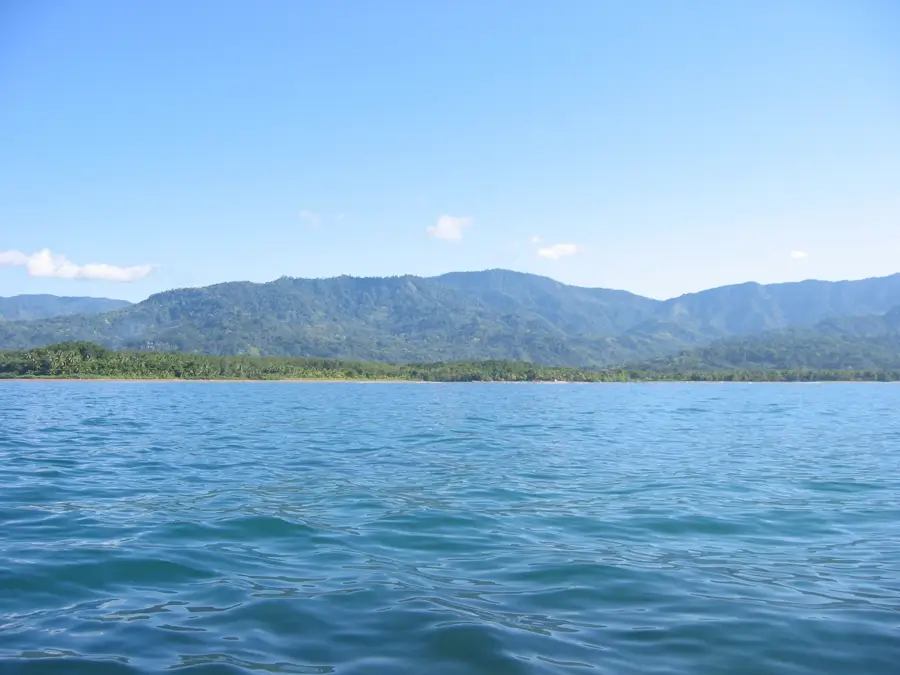
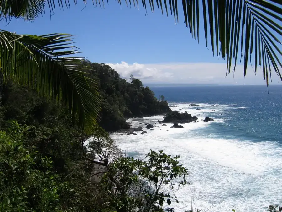
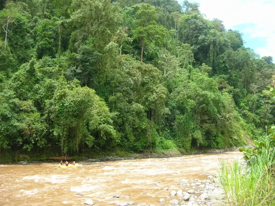
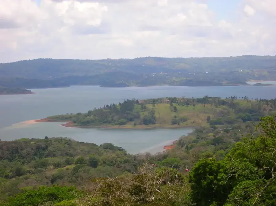
The Reventazón River is one of Costa Rica's most voluminous and economically significant waterways, flowing 145 kilometers (90 miles) from the slopes of the Irazú Volcano to the Caribbean Sea. It serves as a primary drainage system for the Central Valley and forms a massive riverine network alongside the Parismina River. Historically, the Reventazón was a critical transport artery for pre-Columbian societies and later facilitated the development of the national railroad and banana industry. In the 21st century, it has become the backbone of Costa Rica's energy independence; the Reventazón Hydroelectric Dam, inaugurated in 2016, is the largest power plant in Central America. Despite this industrialization, the river basin remains a vital ecological corridor, and extensive reforestation projects have been implemented to mitigate the impact of the dams. Its lower reaches integrate into the Tortuguero canals, supporting diverse aquatic life such as manatees and tarpon. While some traditional whitewater rafting sections were lost to reservoirs, the river continues to be a symbol of the country's balance between development and conservation.
- Location: Costa Rica
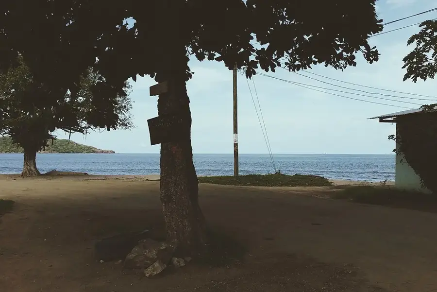
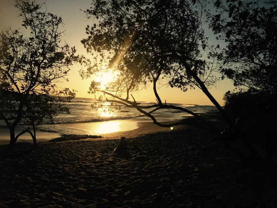
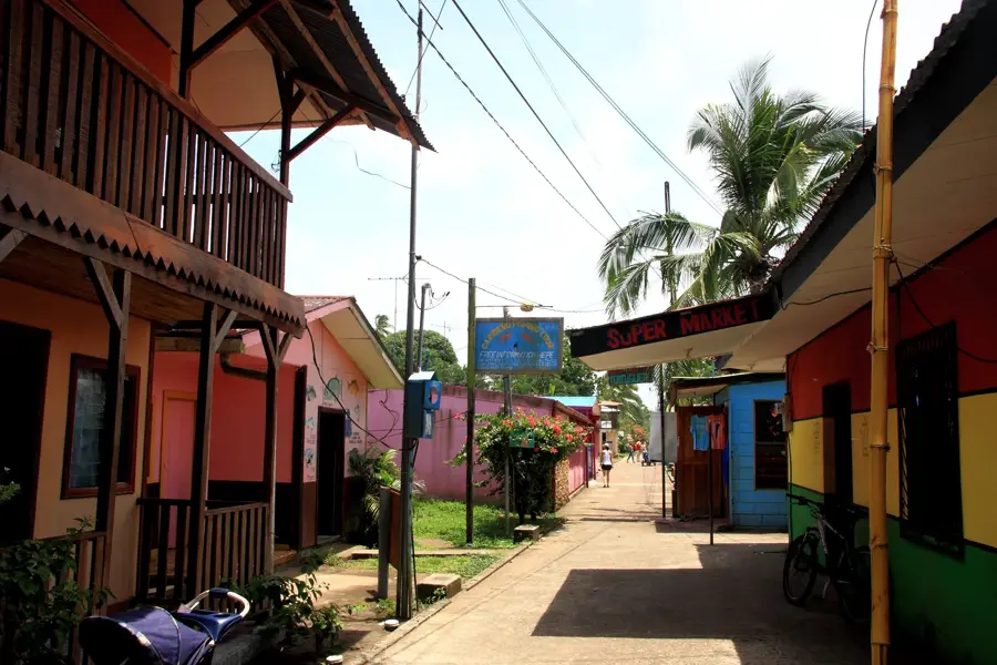
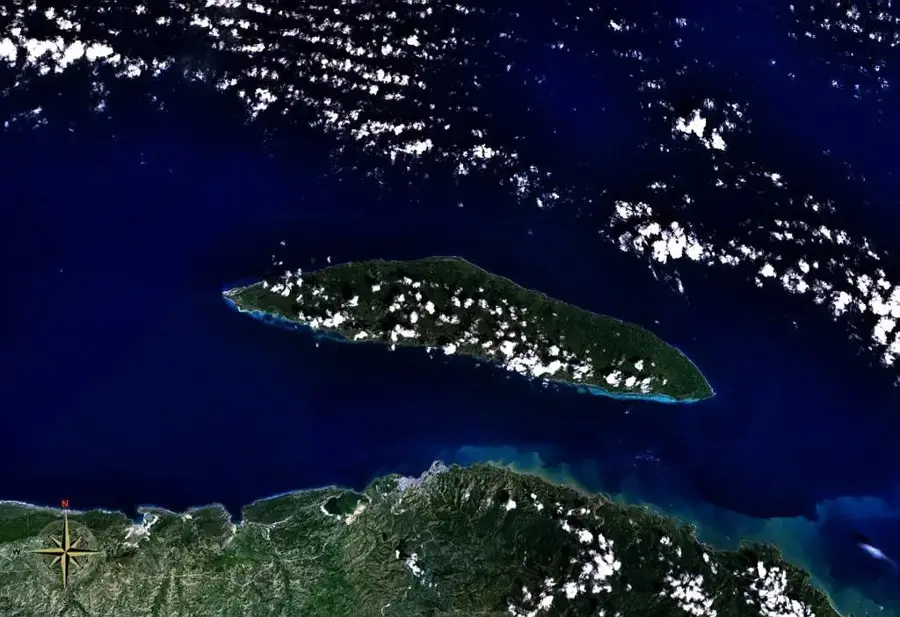
- Nearby: Tortuguero (4 km)
Best time to visit & climate
The most pleasant time to visit is Jan–Mar.
| Jan | Feb | Mar | Apr | May | Jun | Jul | Aug | Sep | Oct | Nov | Dec | |
|---|---|---|---|---|---|---|---|---|---|---|---|---|
| Avg °C | 24 | 24 | 25 | 26 | 26 | 25 | 25 | 25 | 25 | 25 | 25 | 24 |
| Rain mm | 139 | 75 | 73 | 109 | 279 | 303 | 313 | 266 | 294 | 380 | 314 | 183 |
📋 Practical info
Geography
Facts
- Total length of the river is approximately 145 kilometers.
- The Reventazón Hydroelectric Dam was completed in 2016.
- Largest hydroelectric project in the Central American region.
- Originates on the fertile slopes of the Irazú Volcano.
- Merges with the Parismina River before reaching the Caribbean.
- Critical for supporting the country's vast banana exports.
Explore nearby
Notable places around
Route planner — Car & Motorhome
Where do you start? We build the route here, with stops and country notes along the way.
© OpenStreetMap contributors · OpenRouteService
Sights nearby
Frequently asked questions
What is the Reventazón River known for?
Can you do rafting on the river?
How long is the river?
Is there wildlife there?
Where do rafting tours start?
Reventazon River: where is it located?
Reventazon River: when is the best time to visit?
Reventazon River: why is it worth visiting?

Nearby cities
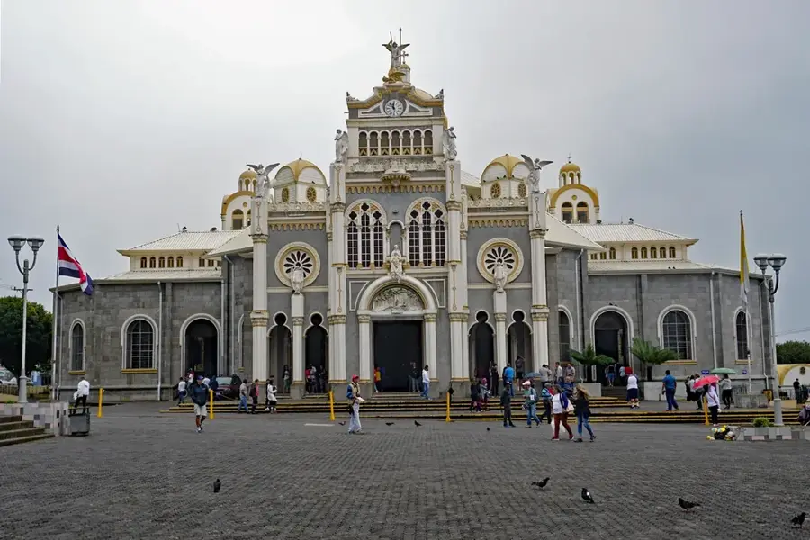

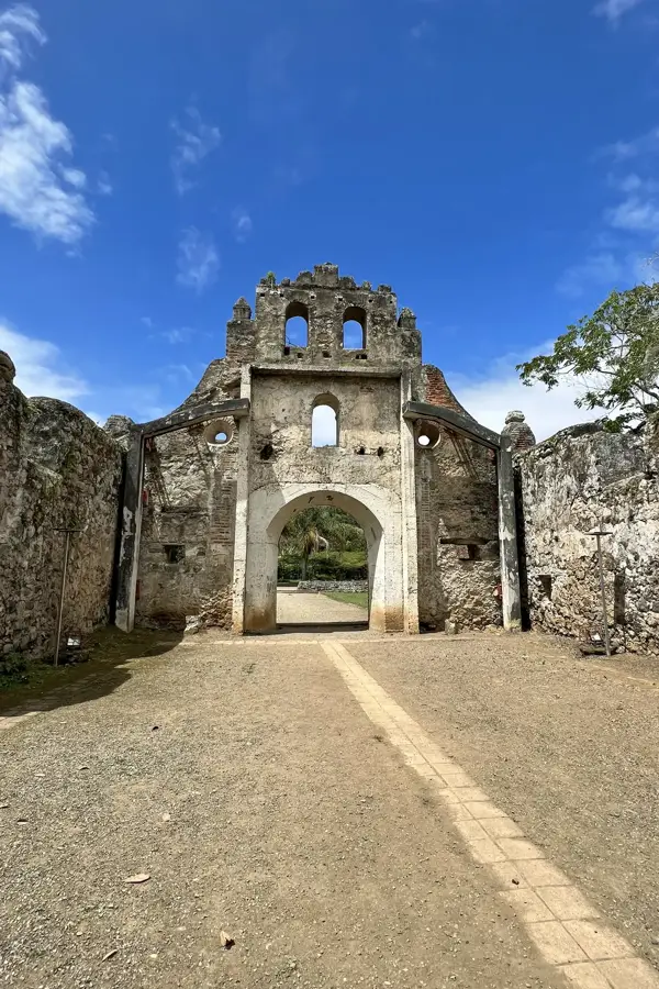
History & landmarks
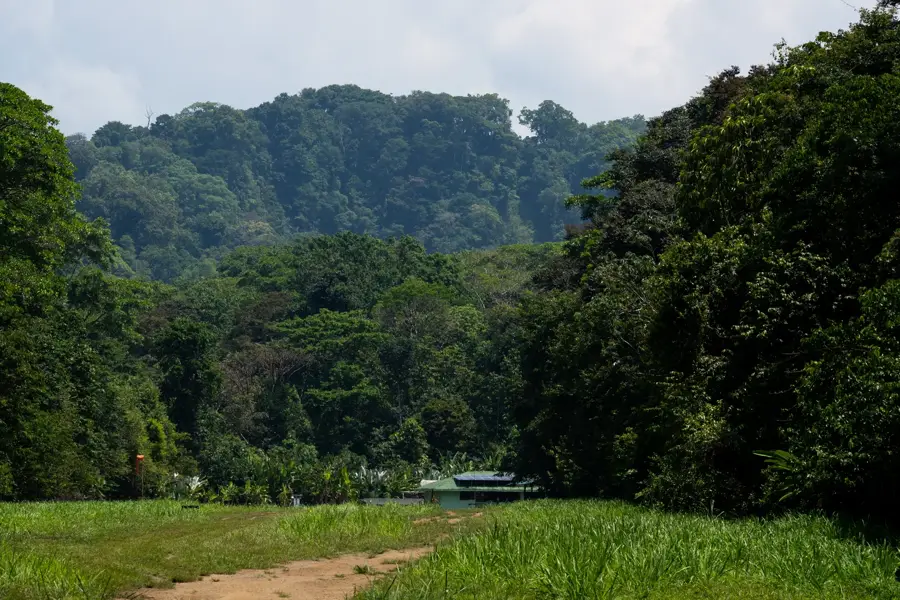
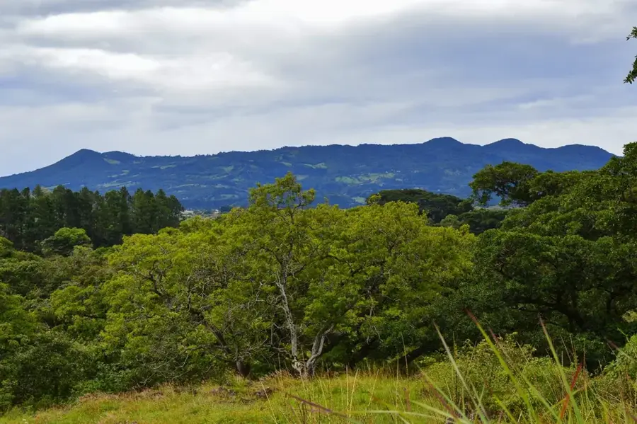
Nature

More places