Plizio Visual Lab
Pacayas
ℹ️Practical info — Pacayas
▾
🌤 Weather — 5 days
📍 Nearby
Sights nearby
💡 Tips
- The terrain is very steep; walking around the town requires good stamina and sturdy shoes.
- Bring warm layers, as the high-altitude climate means it is often misty, windy, and cool.
- It's an authentic, non-touristy hub-great for experiencing the real agricultural heartland of Costa Rica.
- Buses run from Cartago, but schedules can be limited on weekends, so plan your return trip in advance.
🍽 Food
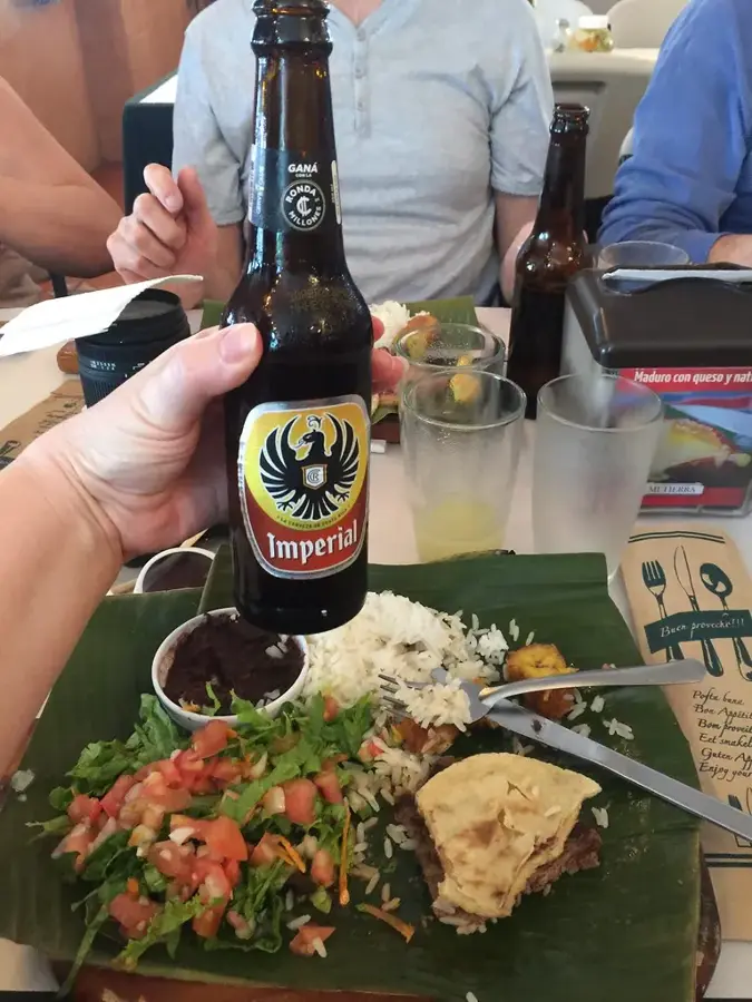
Sweet corn pancakes perfectly paired with sour cream and hot coffee in the local bakeries.
Look for local eateries serving thick, warming beef or chicken soups to combat the mountain chill.
Fried corn turnovers filled with locally grown potatoes.
🛍 Shopping · 🧘 Quiet spots
Buy some of the freshest potatoes, carrots, and root vegetables straight from the source.
Small convenience shops often stock homemade fruit preserves and blackberry jellies.
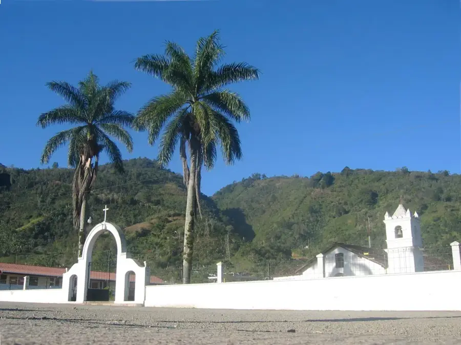
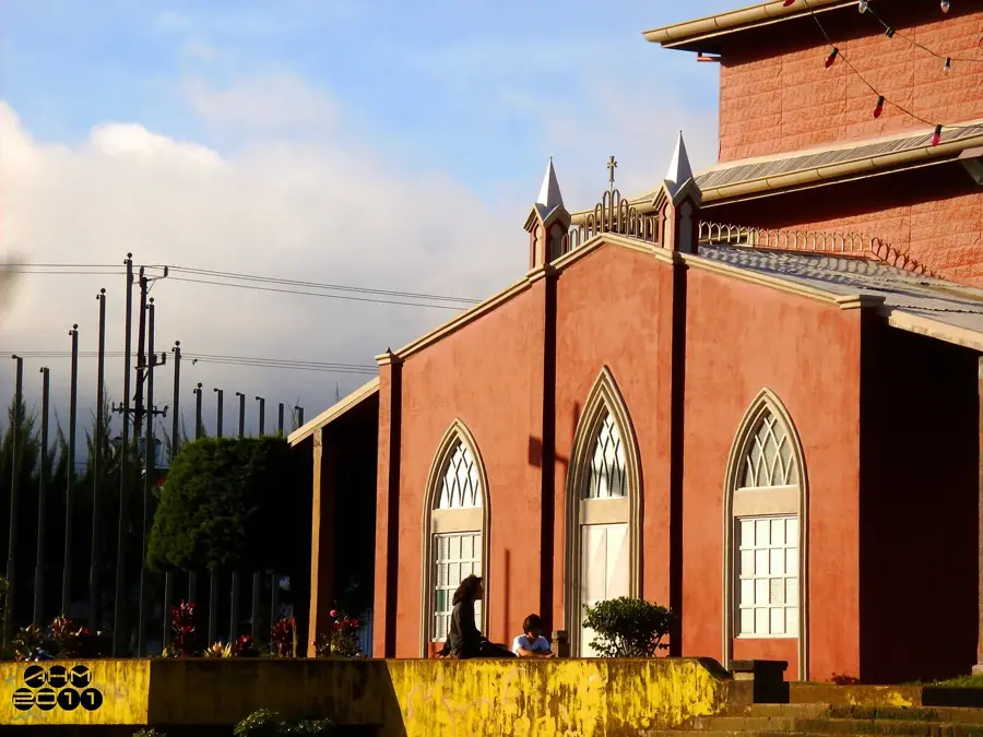
The brightly painted church at the top of the town provides a quiet sanctuary and nice views.
Take a stroll along any paved lane heading out of town to enjoy the quiet pastoral landscapes and rolling hills.
Water temperature…
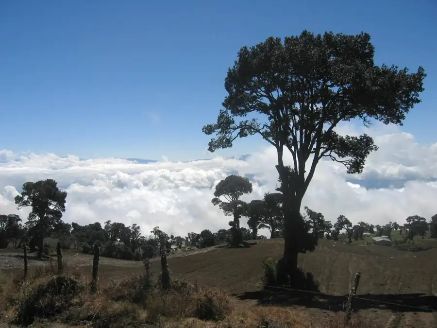
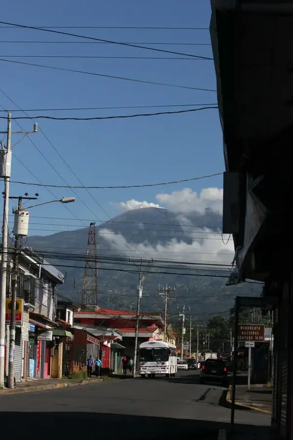
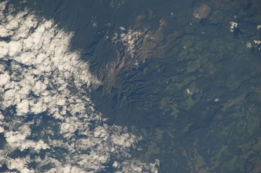
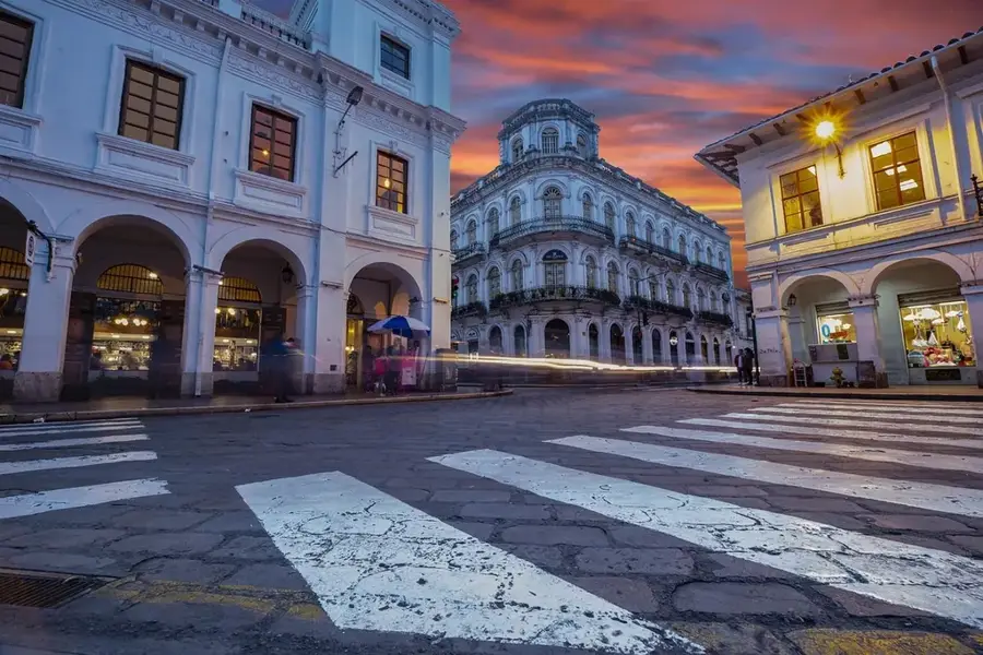
Pacayas is a high-altitude town serving as the administrative head of Alvarado canton in the Cartago province of Costa Rica. Perched at approximately 1,735 meters above sea level on the fertile slopes of the Irazu Volcano, the town enjoys a crisp, cool climate often shrouded in highland mist. This environment is convenient for agriculture, making Pacayas one of the nation's premier producers of potatoes, onions, and dairy products. The town's architecture and layout reflect its rural heritage, with steep streets offering dramatic vistas of the surrounding green valleys and the distant Talamanca mountain range. For travelers, Pacayas gives an authentic glimpse into the Costa Rican 'campo' life, far from the coastal heat, where the economy is driven by hardworking local farmers and the rich volcanic earth provides a continuous harvest of high-quality vegetables.
- Location: Costa Rica
- Nearby: San Gerardo de Dota (6 km)
Best time to visit & climate
The most pleasant time to visit is Feb–Apr.
| Jan | Feb | Mar | Apr | May | Jun | Jul | Aug | Sep | Oct | Nov | Dec | |
|---|---|---|---|---|---|---|---|---|---|---|---|---|
| Avg °C | 19 | 19 | 20 | 21 | 21 | 21 | 20 | 21 | 21 | 20 | 20 | 20 |
| Rain mm | 119 | 70 | 76 | 117 | 243 | 239 | 253 | 214 | 231 | 285 | 258 | 162 |
Geography
Facts
- Capital of Alvarado canton
- In Cartago province
- About 1,700 meters above sea level
- Known for dairy farming
- Potato and vegetable cultivation
- Highland climate near Iraz?
Explore nearby
Notable places around
Route planner — Car & Motorhome
Where do you start? We build the route here, with stops and country notes along the way.
© OpenStreetMap contributors · OpenRouteService
Frequently asked questions
What does Pacayas produce the most?
At what altitude is Pacayas located?
Is there rural tourism there?
What can you see in the Pacayas church?
How is the drive to Pacayas?
Pacayas: where is it located?
Pacayas: when is the best time to visit?
Pacayas: why is it worth visiting?

Nearby cities
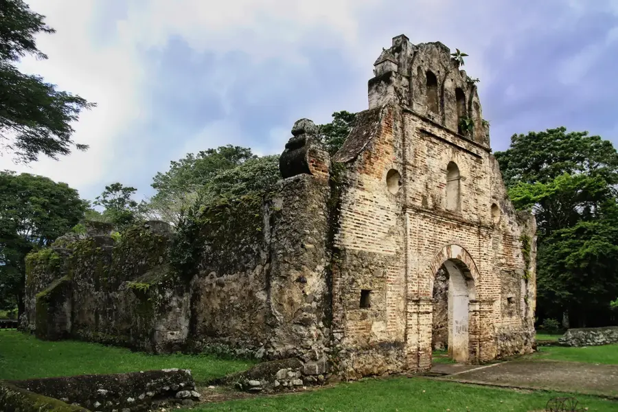


History & landmarks

More places