Plizio Visual Lab
Lake Arenal
Weather…
Water temperature…
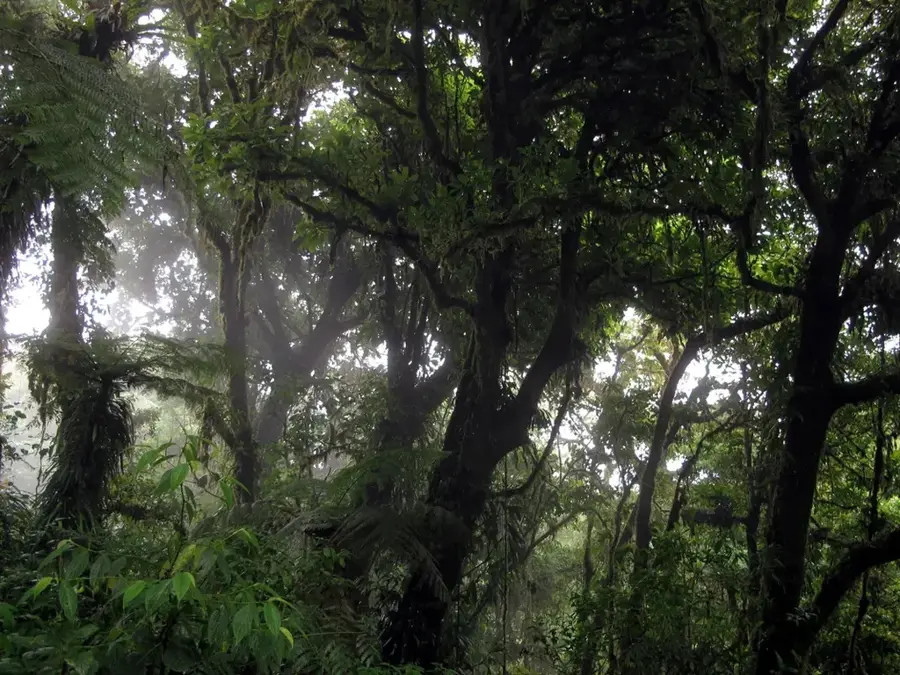
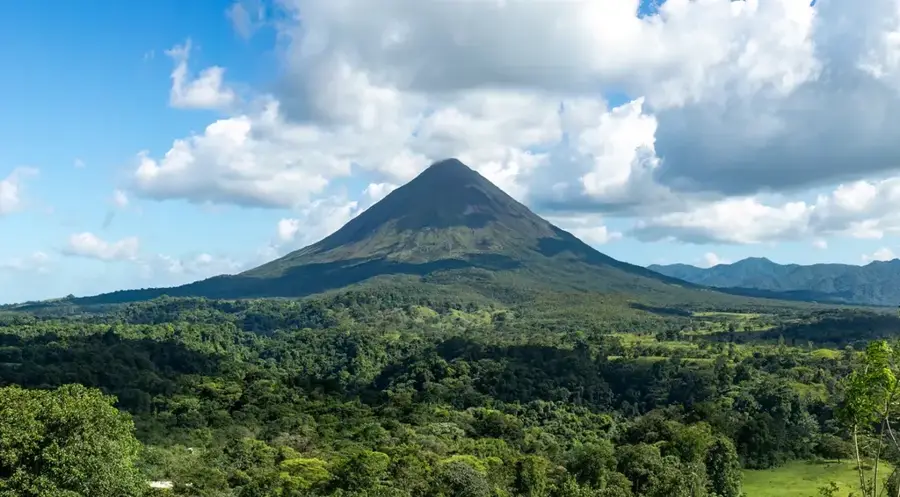
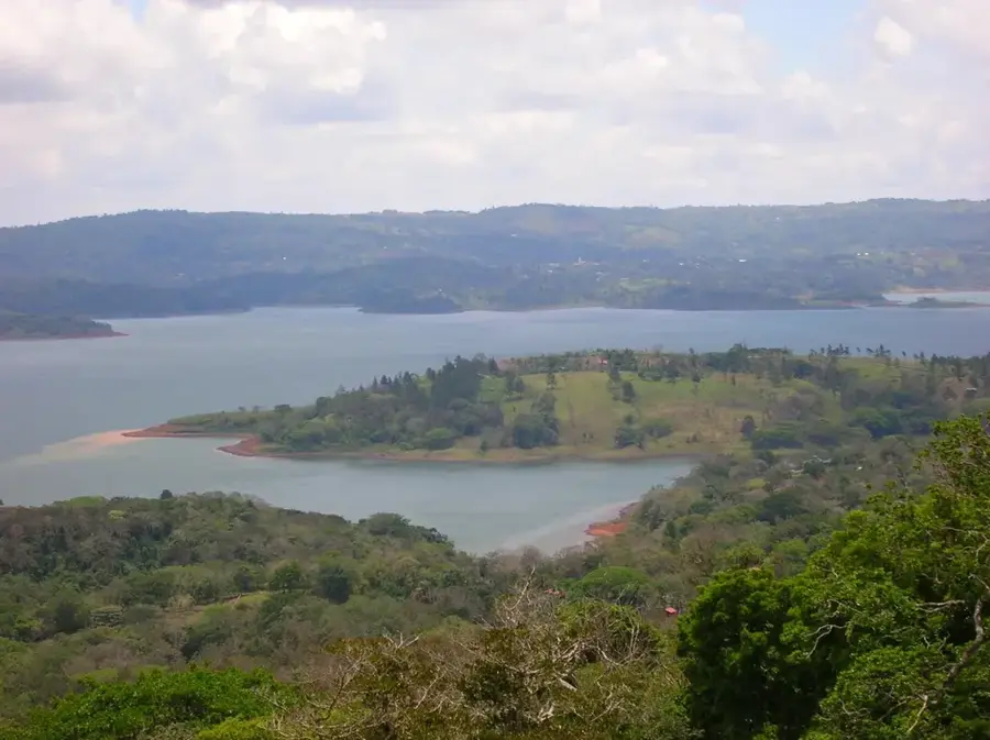
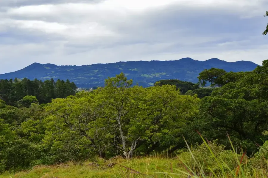
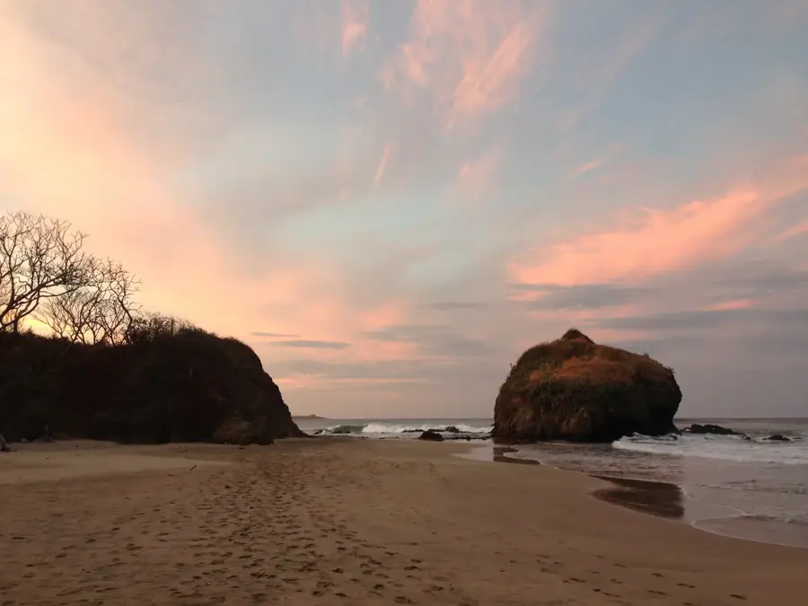
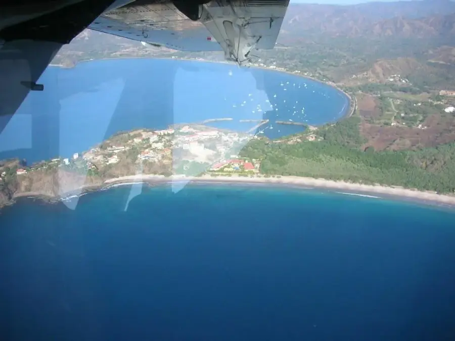
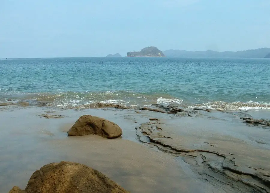
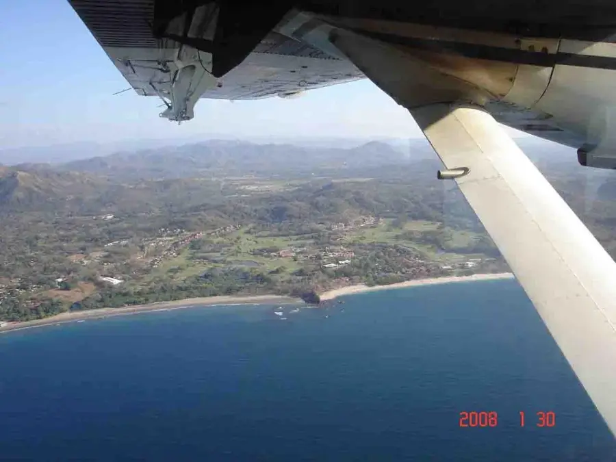
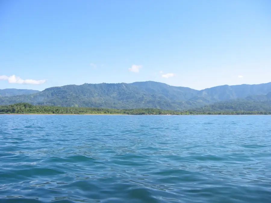
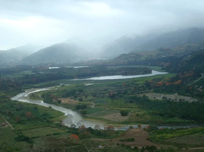
Lake Arenal is Costa Rica's largest landlocked body of water and a cornerstone of the nation's renewable energy infrastructure. Originally a smaller natural lagoon, it was vastly expanded in 1979 with the completion of a major hydroelectric dam, tripling its surface area to approximately 85 square kilometers. This engineering feat transformed the lake into a primary power source, generating a significant percentage of the country's electricity. Set against the dramatic backdrop of the conical Arenal Volcano, the lake is a focal point for international tourism and outdoor recreation. It is globally recognized by windsurfers and kitesurfers for its consistent and powerful winds, particularly during the dry season near the town of Tilarán. The surrounding basin features a mix of primary rainforest and protected agricultural land, supporting a high level of biodiversity including monkeys and tropical birds. Beyond energy, the lake's waters are diverted via complex tunnels to irrigate the arid lowlands of the Guanacaste province, supporting the regional economy.
- Location: Costa Rica
- Nearby: Tilarán (6 km)
Best time to visit & climate
The most pleasant time to visit is Jan, Feb, Dec.
| Jan | Feb | Mar | Apr | May | Jun | Jul | Aug | Sep | Oct | Nov | Dec | |
|---|---|---|---|---|---|---|---|---|---|---|---|---|
| Avg °C | 24 | 25 | 26 | 27 | 27 | 25 | 25 | 25 | 25 | 24 | 24 | 24 |
| Rain mm | 13 | 9 | 10 | 40 | 187 | 177 | 131 | 176 | 252 | 289 | 132 | 28 |
📋 Practical info
Geography
Facts
- Costa Rica's largest lake, covering roughly 85 square kilometers.
- Expanded to its current size in 1979 for hydroelectric power.
- Supplies approximately 12% of the nation's total electricity.
- Reaches a maximum depth of around 60 meters (200 feet).
- Famed for windsurfing due to consistent winds averaging 45-70 km/h.
- Located at an elevation of 540 meters (1,770 feet) above sea level.
Explore nearby
Notable places around
Route planner — Car & Motorhome
Where do you start? We build the route here, with stops and country notes along the way.
© OpenStreetMap contributors · OpenRouteService
Sights in the town Lake Arenal (1)
Sights nearby
Frequently asked questions
What activities can you do on Lake Arenal?
Is the lake natural or artificial?
How big is Lake Arenal?
Can you swim in the lake?
Does the lake offer a good view of the volcano?
Lake Arenal: where is it located?
Lake Arenal: when is the best time to visit?
Lake Arenal: why is it worth visiting?

Nearby cities


History & landmarks
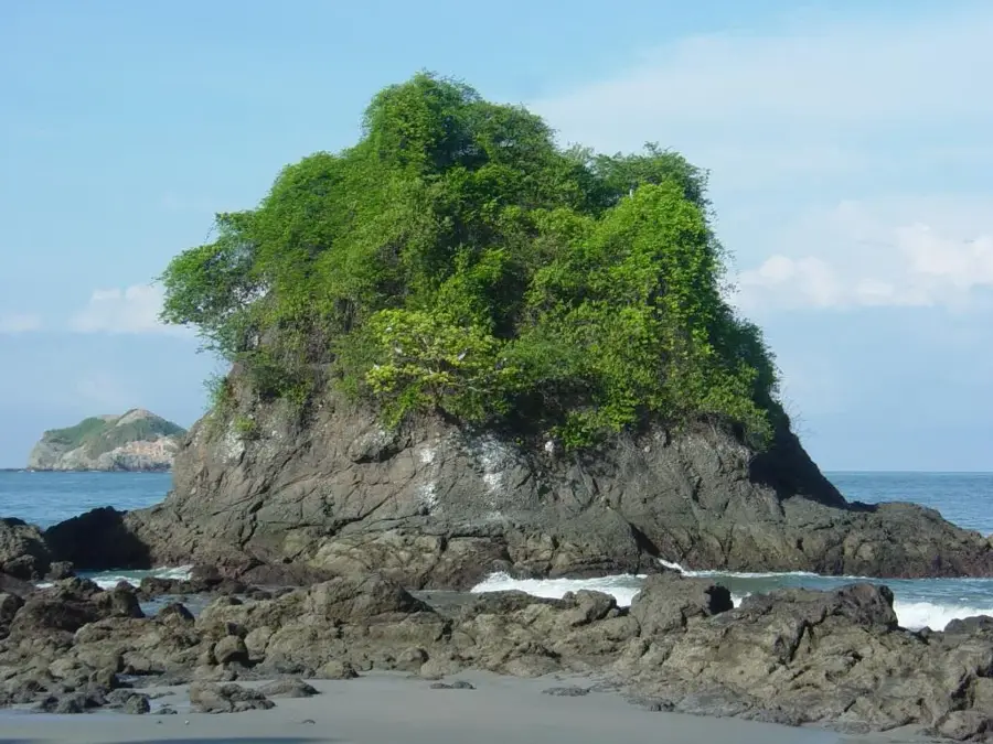

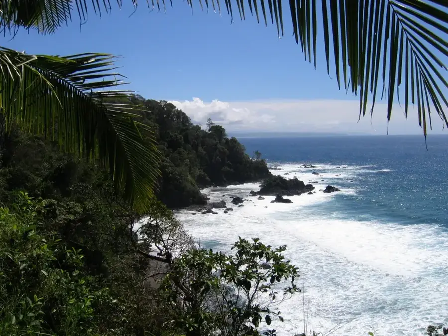
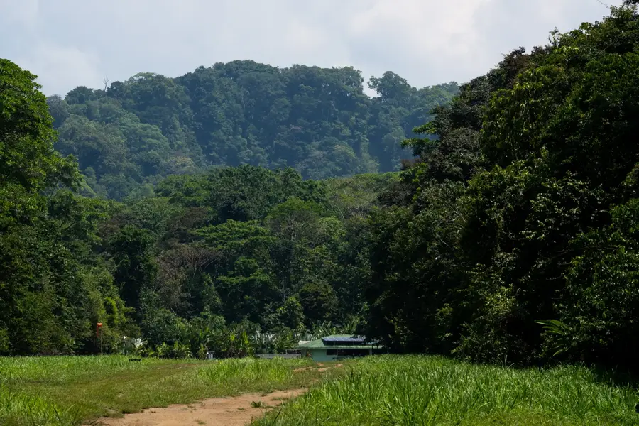
Nature

More places