Plizio Visual Lab
Cano Island
Weather…
Water temperature…
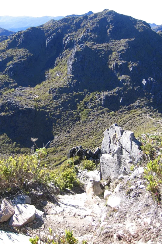
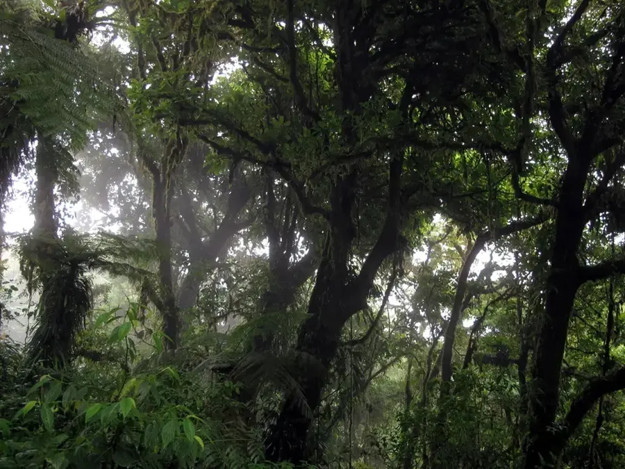
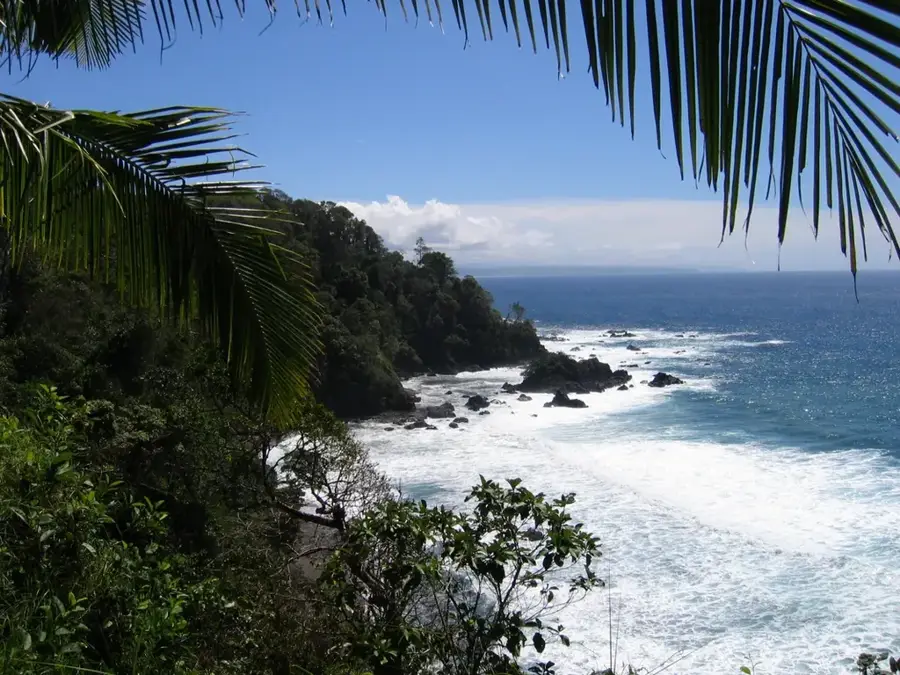
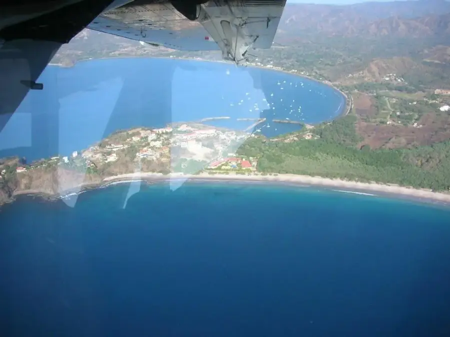
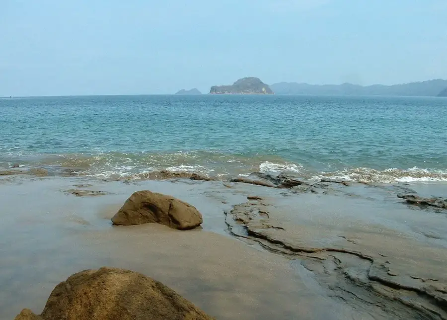
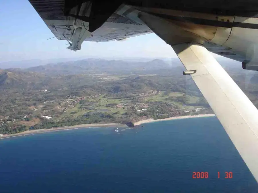
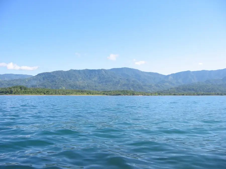
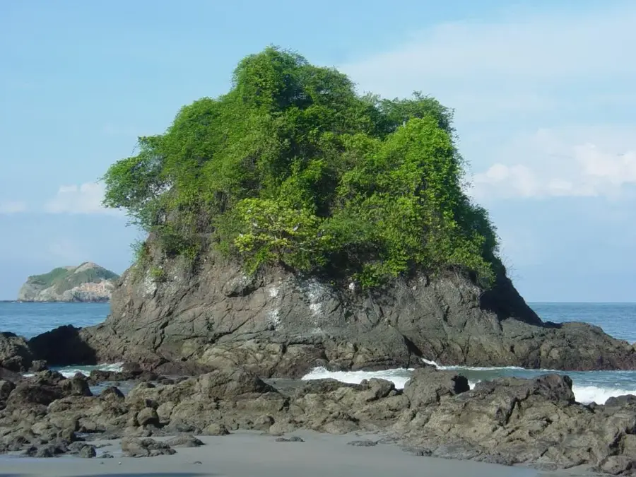
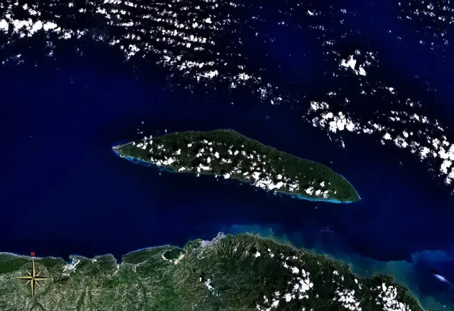
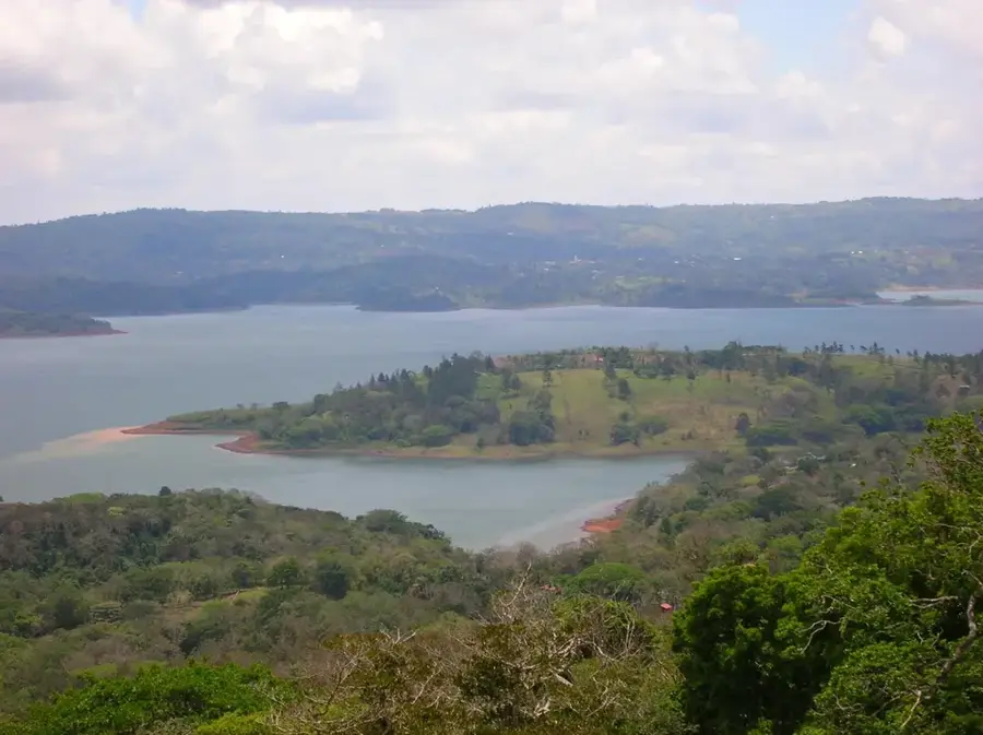
Caño Island, officially known as the Isla del Caño Biological Reserve, is situated approximately 15 kilometers off the coast of the Osa Peninsula in the Pacific Ocean. The island encompasses a land area of about 320 hectares and is encircled by a vast marine protected area of roughly 5,800 hectares. Geologically, the island is composed of sedimentary rock and basalt, reflecting volcanic activity from the distant past. Beyond its natural allure, the island is a significant archaeological site where numerous pre-Columbian stone spheres have been discovered. It is believed that the island served as a sacred site or burial ground for the indigenous Diquís people centuries ago. Underwater, Caño has some of the best diving and snorkeling experiences in Costa Rica, with visibility often exceeding 20 meters. The surrounding waters are teeming with marine life, including manta rays, white-tipped reef sharks, sea turtles, and a diverse array of coral reef fish. Due to its strict protection status, visitor access is regulated to maintain the delicate ecological balance of the reserve.
- Location: Costa Rica
- Nearby: Dominical (6 km)
Best time to visit & climate
The most pleasant time to visit is Jan–Mar.
| Jan | Feb | Mar | Apr | May | Jun | Jul | Aug | Sep | Oct | Nov | Dec | |
|---|---|---|---|---|---|---|---|---|---|---|---|---|
| Avg °C | 28 | 28 | 29 | 28 | 28 | 27 | 27 | 27 | 27 | 27 | 27 | 27 |
| Rain mm | 76 | 44 | 62 | 147 | 331 | 283 | 362 | 317 | 285 | 334 | 332 | 154 |
📋 Practical info
Geography
Facts
- Located 15 km west of the Osa Peninsula
- Covers 320 hectares of land and 5,800 hectares of sea
- Major site for pre-Columbian Diquís stone spheres
- Underwater visibility frequently exceeds 20 meters
- Teeming with manta rays and white-tipped reef sharks
- Official biological reserve with strictly regulated access
Explore nearby
Notable places around
Route planner — Car & Motorhome
Where do you start? We build the route here, with stops and country notes along the way.
© OpenStreetMap contributors · OpenRouteService
Sights in the town Cano Island (1)
Sights nearby
Frequently asked questions
Is Isla del Caño good for diving?
Are you allowed to go on the island?
What animals can be seen underwater?
How do you get to the island?
Are there archaeological finds there?
Cano Island: where is it located?
Cano Island: when is the best time to visit?
Cano Island: why is it worth visiting?

Nearby cities


History & landmarks
Nature

More places