Plizio Visual Lab
Tamarindo
ℹ️Practical info — Tamarindo
▾
🌤 Weather — 5 days
📍 Nearby
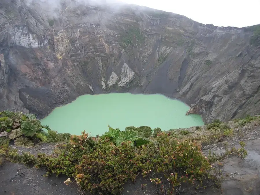
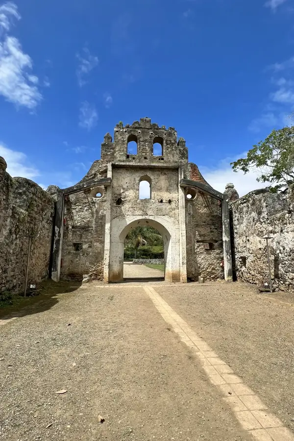
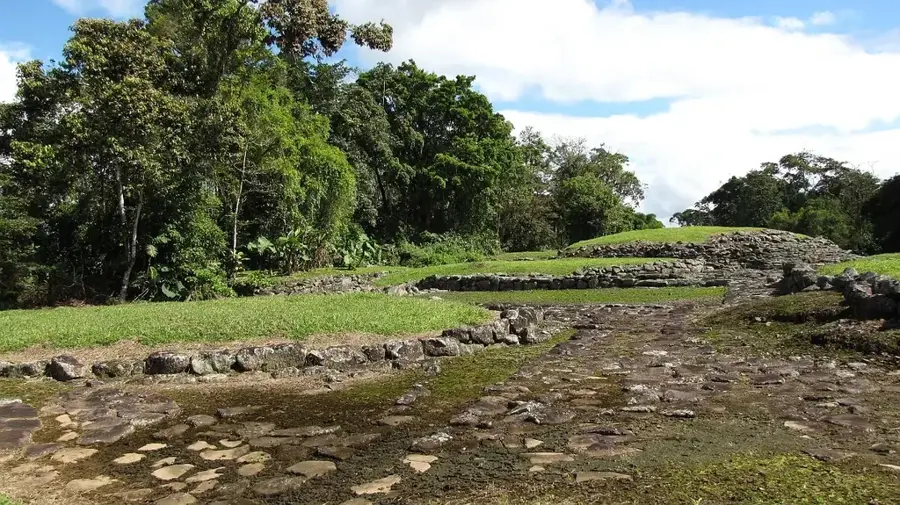
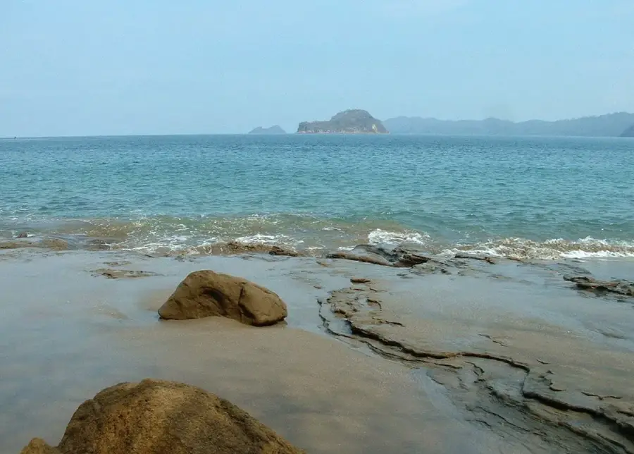
Sights nearby
💡 Tips
- Surf conditions are best early in the morning before the wind picks up around midday.
- The town can be expensive. Look down the side streets for small 'sodas' for affordable and authentic meals.
- During the dry season, the main road gets very dusty; keep your electronics protected.
- Keep an eye out for howler monkeys. You can often hear and see them in the trees on the edge of town.
🍽 Food
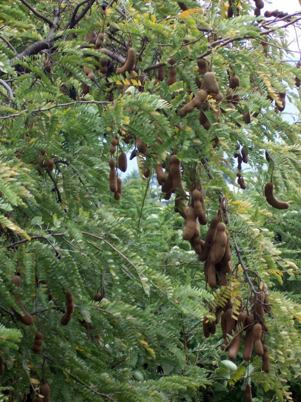
The well-suited post-surf snack. Find excellent tacos in the small shacks along the main road.
Raw fish marinated in lime juice. Enjoy it ice cold at one of the beachfront kiosks.
Fried plantain slices served with mashed beans. A great bar food available at almost any local bar.
🛍 Shopping · 🧘 Quiet spots
Visit this market (usually on Thursdays) for handmade jewelry, local art, and street food.
The main street is lined with small boutiques where you can find local and international surf gear.
A stretch of beach just south of Tamarindo that is much quieter and less crowded.
Book a quiet boat tour into the mangroves to watch birds and crocodiles away from the surfers.
Water temperature…
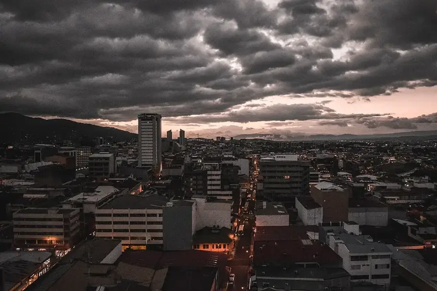
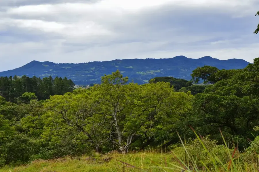
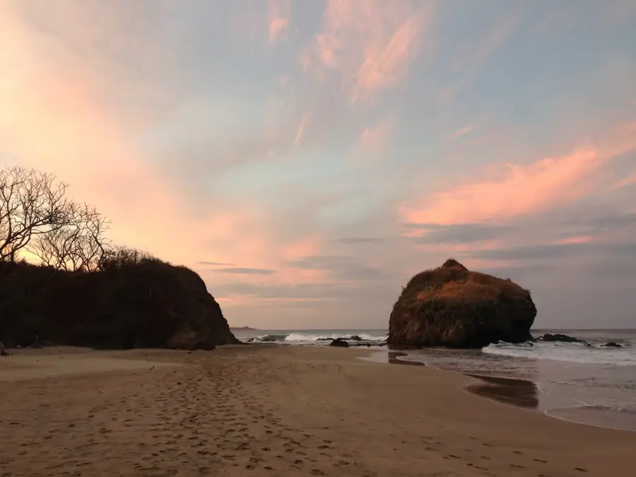
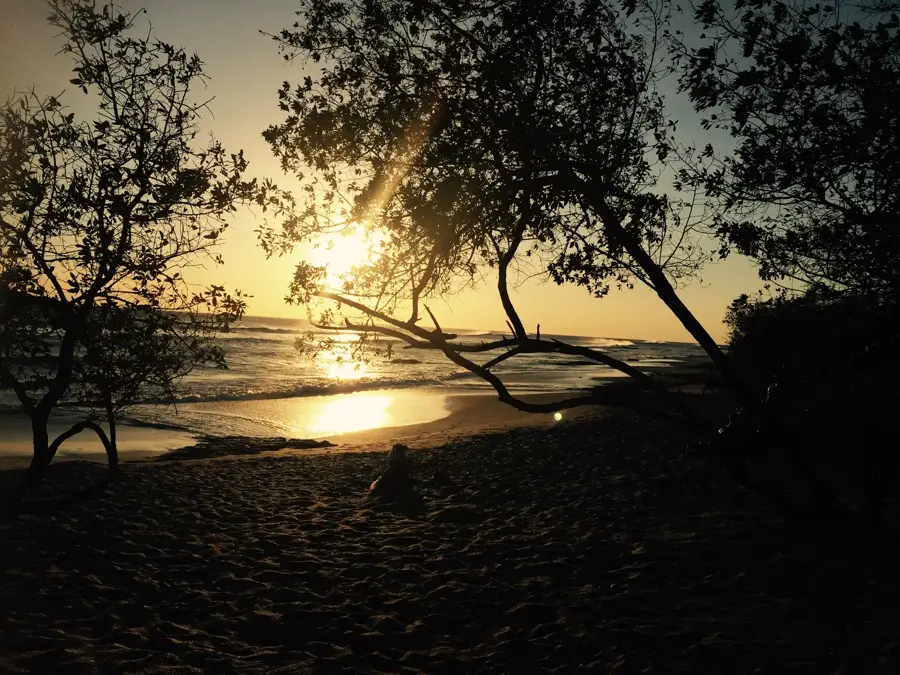
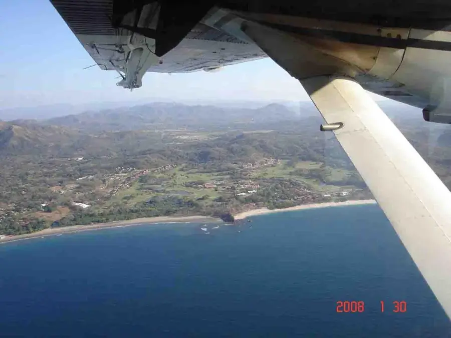
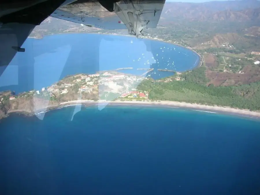
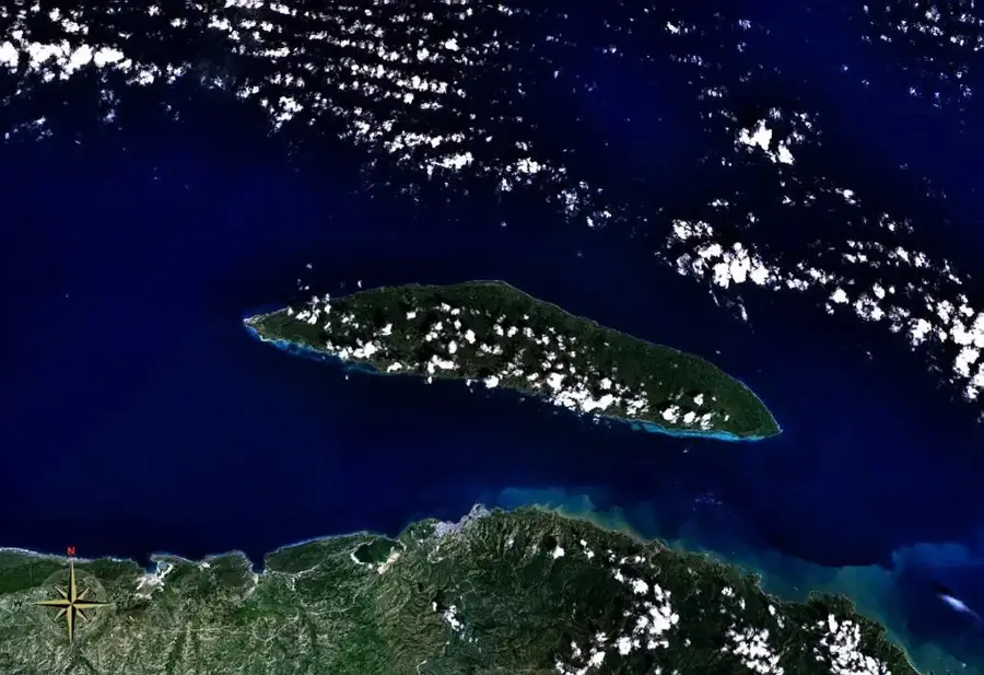
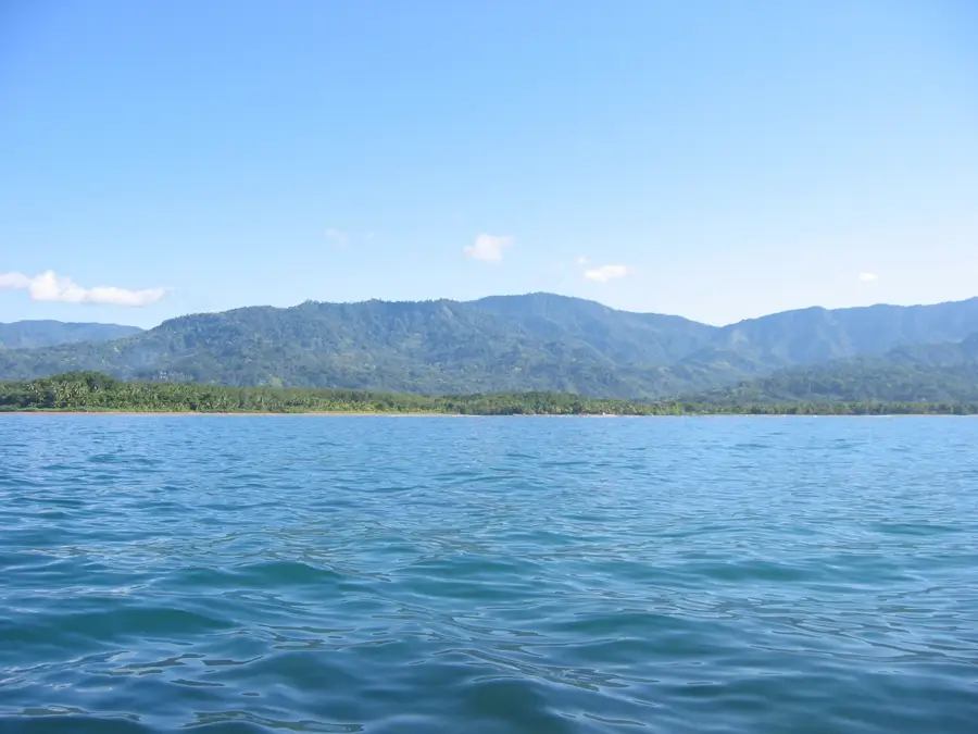
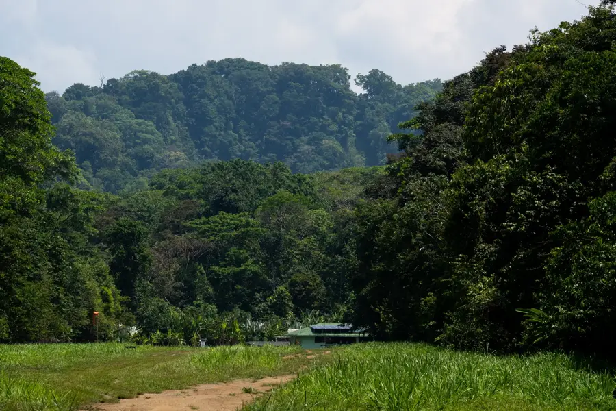
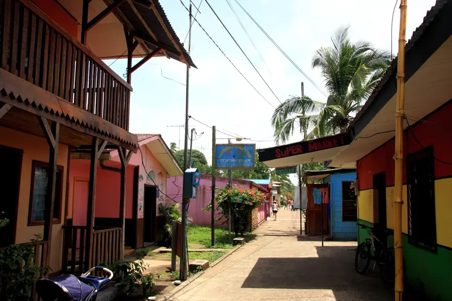
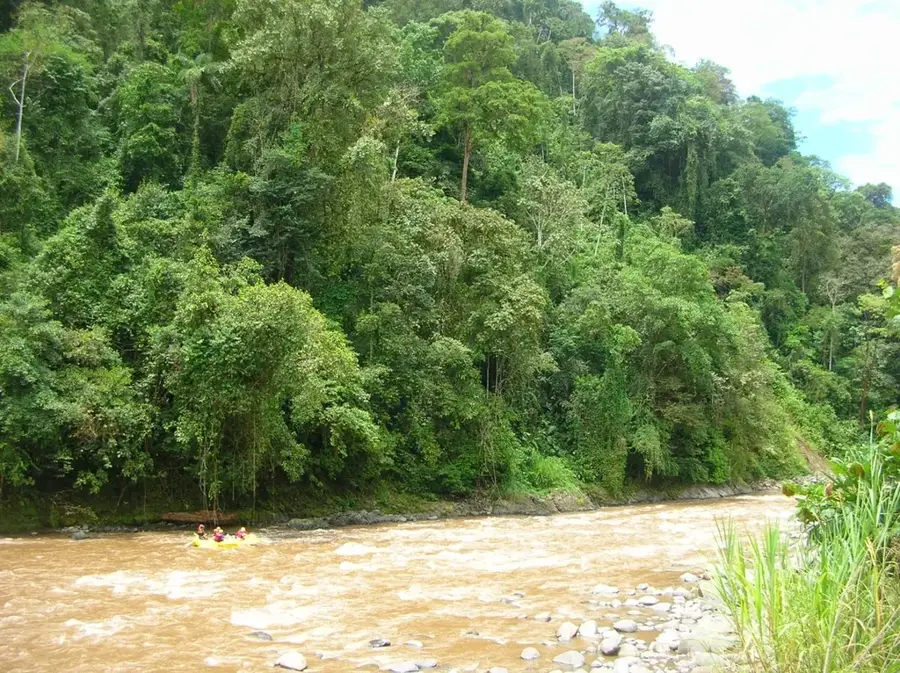
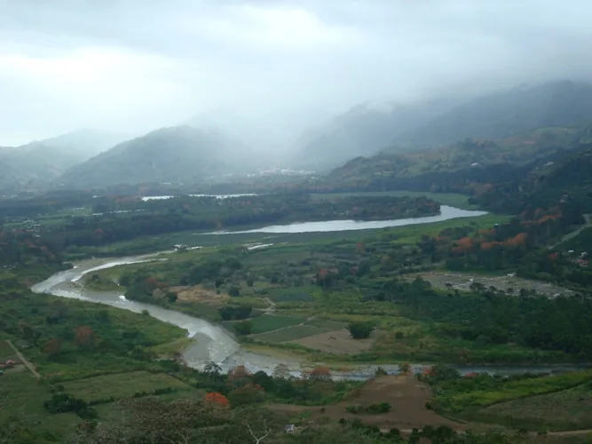
Tamarindo is a prominent coastal town located in the Guanacaste Province along Costa Rica's North Pacific coast. Originally a quiet fishing village, it has transformed since the 1990s into one of the country's most developed and popular tourist destinations, renowned for its surfing, nightlife, and golden beaches. The town is adjacent to Las Baulas National Marine Park, which serves as a critical nesting site for the endangered Leatherback Sea Turtle between October and March. Geographically, Tamarindo sits within the tropical dry forest zone, characterized by a sunnier and drier climate compared to the southern regions of the country. The Tamarindo River estuary, located just north of the main beach, features extensive mangrove forests that are protected and home to diverse wildlife such as crocodiles and exotic birds. As a regional hub, it features a blend of multicultural influences, high-quality amenities, and easy access to some of the most beautiful natural landscapes in the Nicoya Peninsula.
- Location: Costa Rica
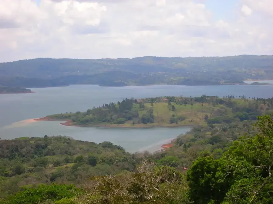
- Top sights: Bahía Tamarindo · Mirador · Tamarindo Art Gallery
- Nearby: Playa Flamingo (4 km)
- Population: ~6.375 (2022)
Best time to visit & climate
The most pleasant time to visit is Jan–Mar.
| Jan | Feb | Mar | Apr | May | Jun | Jul | Aug | Sep | Oct | Nov | Dec | |
|---|---|---|---|---|---|---|---|---|---|---|---|---|
| Avg °C | 27 | 27 | 28 | 29 | 29 | 28 | 28 | 28 | 28 | 27 | 27 | 27 |
| Rain mm | 4 | 2 | 3 | 35 | 290 | 319 | 239 | 284 | 414 | 447 | 204 | 21 |
Geography
Facts
- Tamarindo is located in the Guanacaste Province on the Nicoya Peninsula.
- It is world-famous as a top destination for both surfing and sportfishing.
- Las Baulas National Marine Park was established here in 1991.
- Leatherback turtles nest on nearby Playa Grande from October to March.
- The Tamarindo Estuary is a protected wetland home to diverse bird species.
- The town features its own domestic airport for quick travel to San José.
Explore nearby
Notable places around
Route planner — Car & Motorhome
Where do you start? We build the route here, with stops and country notes along the way.
© OpenStreetMap contributors · OpenRouteService
Sights in the town Tamarindo (4)
Frequently asked questions
Is Tamarindo good for beginner surfers?
How is the nightlife in Tamarindo?
When is the best time to visit?
Is there an airport nearby?
Can you see Leatherback turtles there?
Tamarindo: where is it located?
Tamarindo: what is there to see?
Tamarindo: when is the best time to visit?
Tamarindo: why is it worth visiting?

Nearby cities

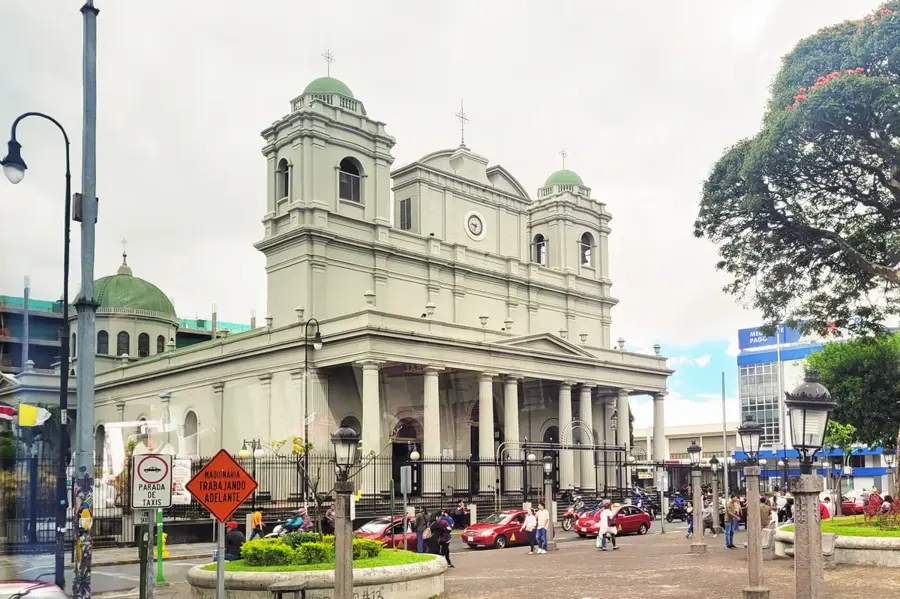
History & landmarks
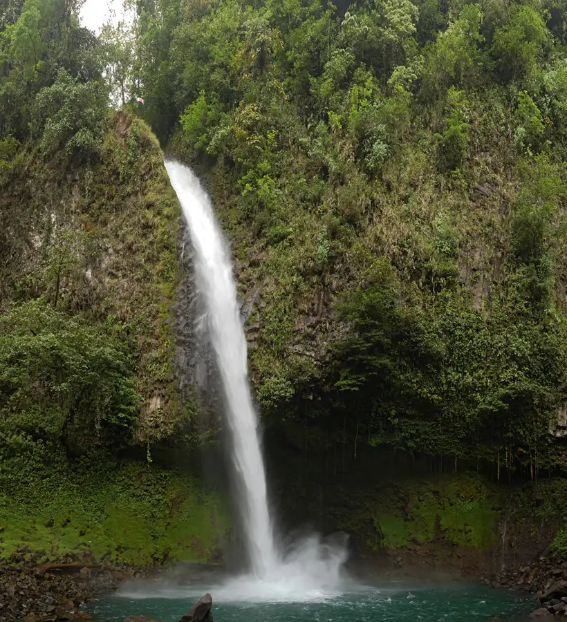
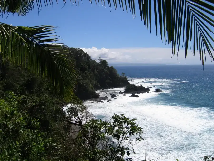
Nature

More places