Plizio Visual Lab
Pacuare River
Weather…
Water temperature…
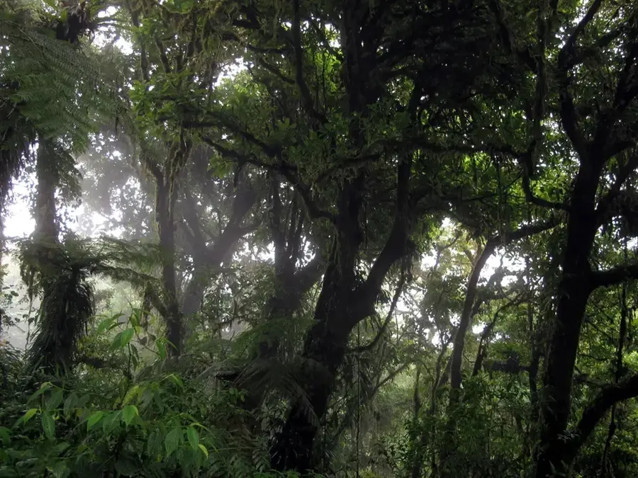
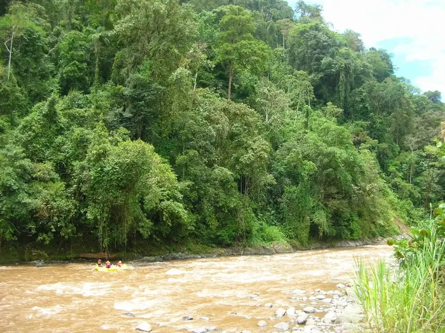
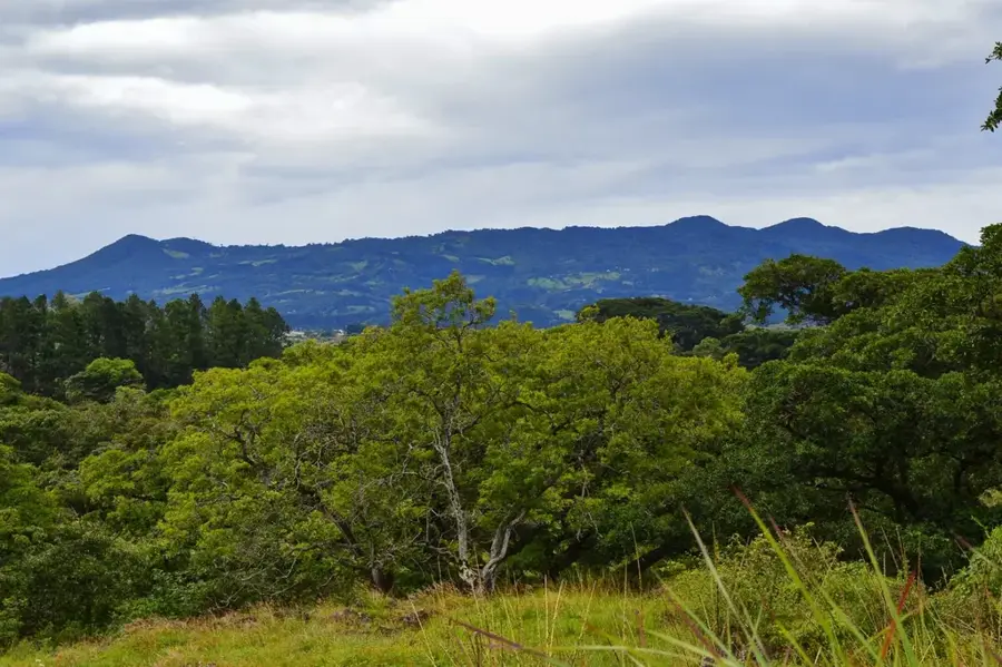
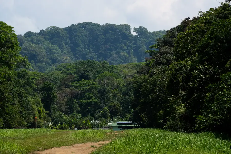
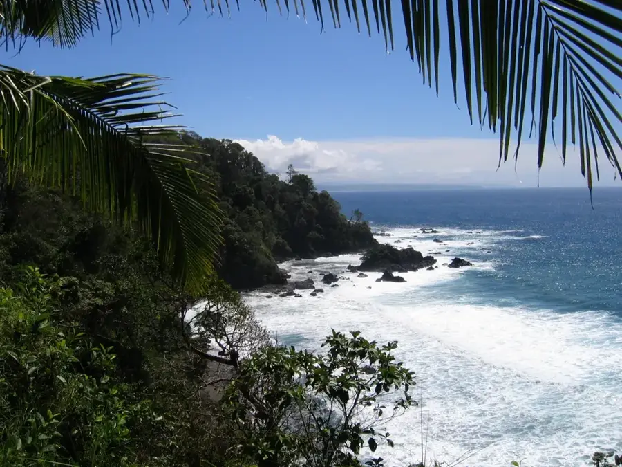
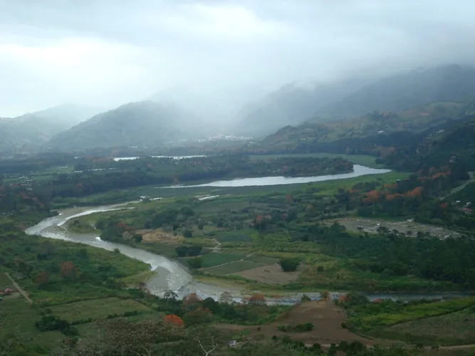
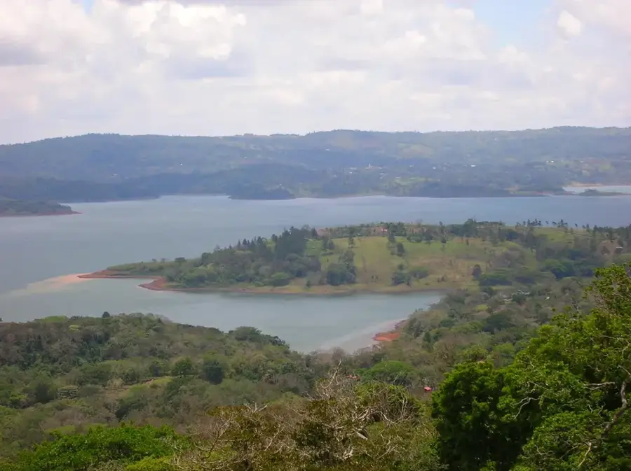
The Pacuare River is one of Costa Rica's most vital waterways, globally renowned as a premier destination for world-class whitewater rafting. Originating in the Talamanca Mountains, it flows approximately 108 kilometers (67 miles) through deep canyons and pristine rainforests before reaching the Caribbean coast. The river corridor is a biological hotspot, providing a critical habitat for elusive species such as jaguars, ocelots, and a vast array of tropical birds. This region is also the ancestral home of the Cabécar indigenous people, who have inhabited the remote ridges above the river for centuries and maintain a deep cultural connection to the land. During the late 20th century, the Pacuare was the focus of intense environmental activism that successfully prevented the construction of major hydroelectric dams, preserving its free-flowing status. Today, it stands as a prime example of sustainable ecotourism, balancing adventure with the rigorous protection of primary cloud forests. The river's diverse sections offer everything from technical Class IV rapids to serene stretches of emerald waters.
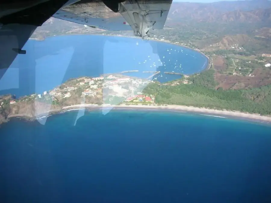
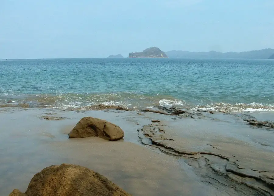
- Location: Costa Rica
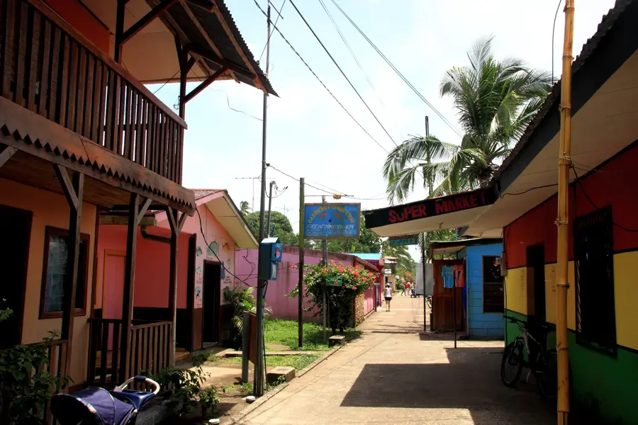
- Nearby: Tortuguero (9 km)
Best time to visit & climate
The most pleasant time to visit is Feb–Apr.
| Jan | Feb | Mar | Apr | May | Jun | Jul | Aug | Sep | Oct | Nov | Dec | |
|---|---|---|---|---|---|---|---|---|---|---|---|---|
| Avg °C | 19 | 19 | 20 | 21 | 21 | 21 | 20 | 21 | 21 | 20 | 20 | 20 |
| Rain mm | 119 | 70 | 76 | 117 | 243 | 239 | 253 | 214 | 231 | 285 | 258 | 162 |
📋 Practical info
Geography
Facts
- Flows 108 kilometers (67 miles) from the Talamanca Range to the sea.
- Ranked by National Geographic as a top 5 world river for rafting.
- The surrounding basin is home to the Cabécar indigenous community.
- Environmental groups successfully halted dam projects in 2005.
- Acts as a primary biological corridor for diverse tropical wildlife.
- Features challenging Class III and IV whitewater rapids.
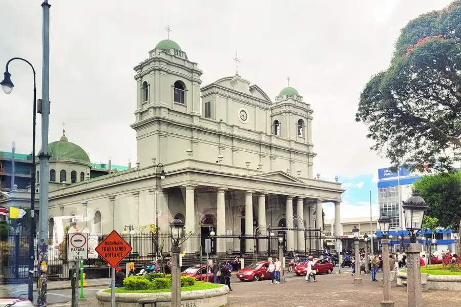
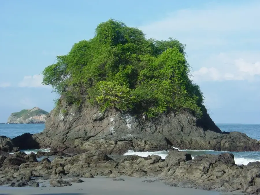
Explore nearby
Notable places around
Route planner — Car & Motorhome
Where do you start? We build the route here, with stops and country notes along the way.
© OpenStreetMap contributors · OpenRouteService
Sights nearby
Frequently asked questions
What is the difficulty level of rafting on the Pacuare River?
How long does a typical tour last?
Are there accommodation options by the river?
Is the tour suitable for beginners?
What should you bring?
Pacuare River: where is it located?
Pacuare River: when is the best time to visit?
Pacuare River: why is it worth visiting?

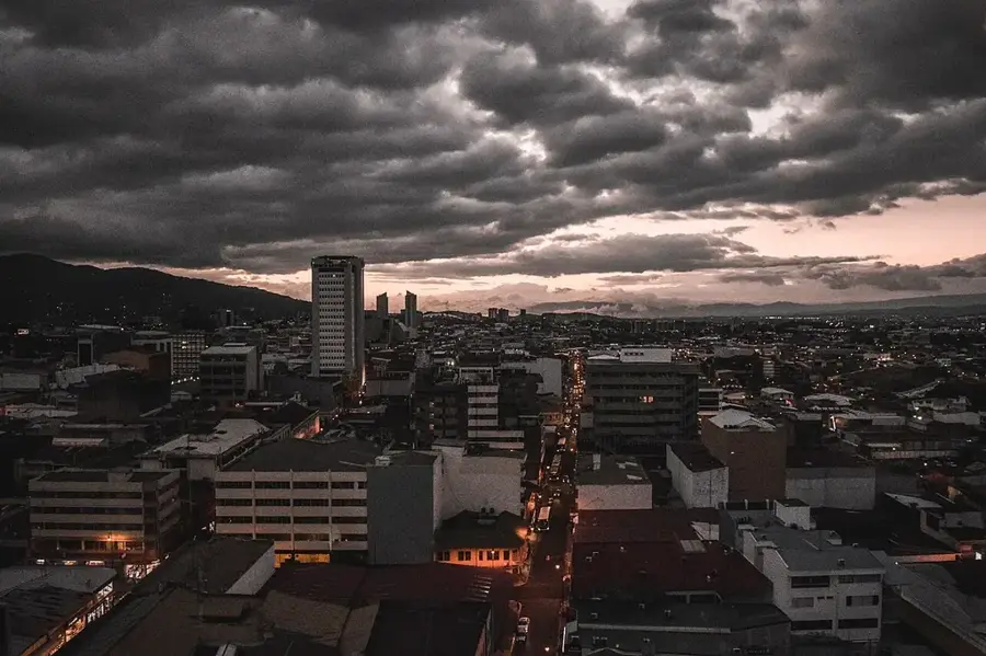
Nearby cities

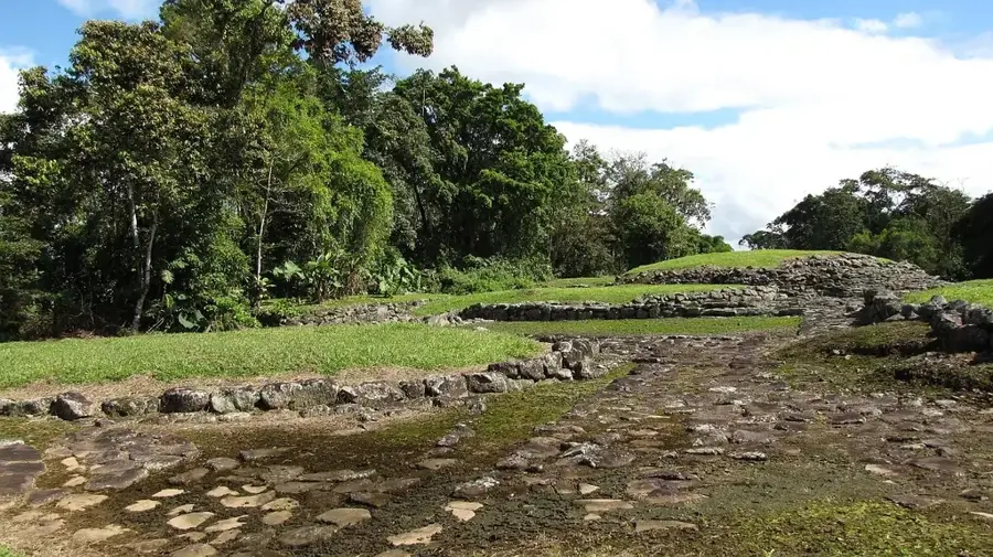
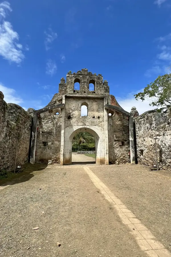
History & landmarks
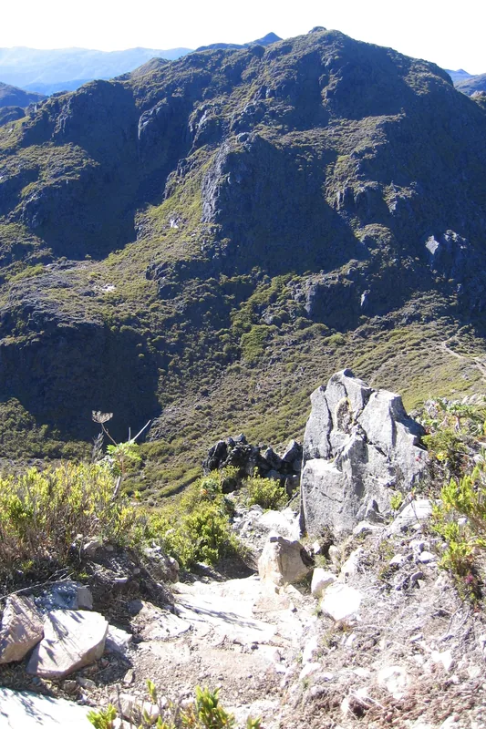
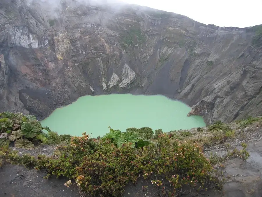
Nature
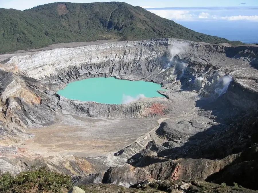
More places