Plizio Visual Lab
Nanumea Mangrove Forest

Weather…
Water temperature…
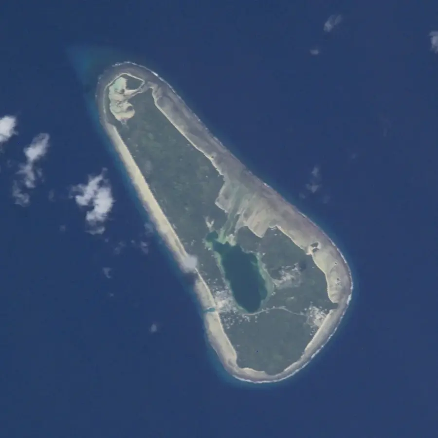
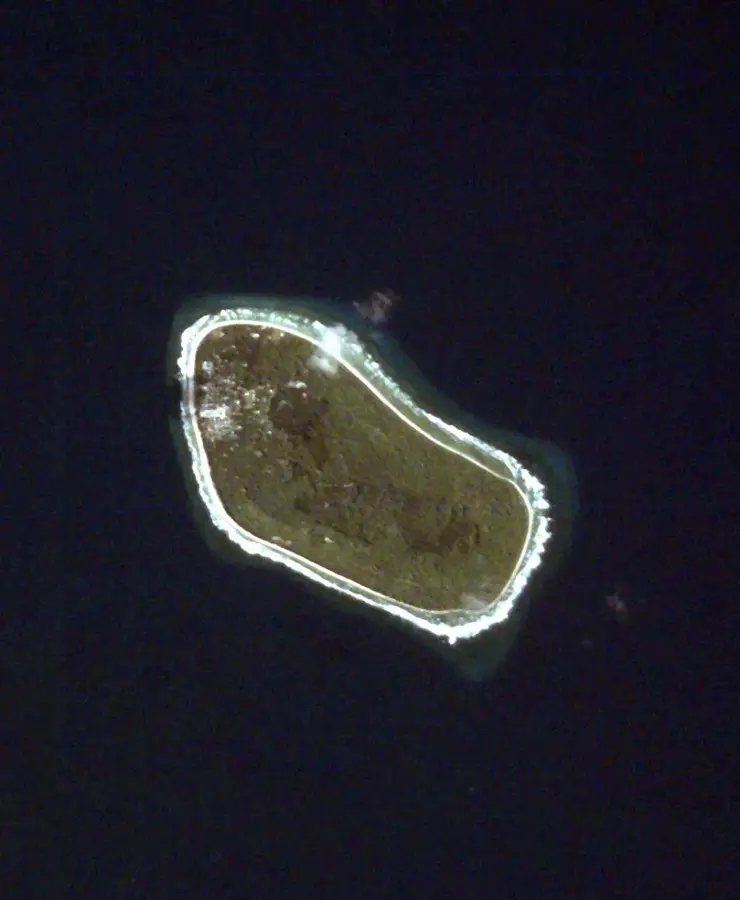
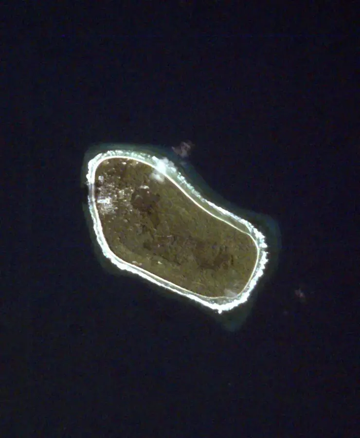
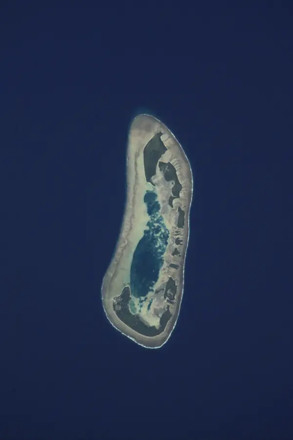
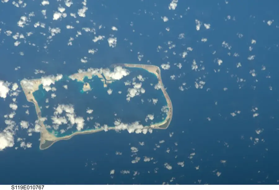
The Nanumea Mangrove Forest is one of the rarest and most valuable ecosystems in Tuvalu. These forests are primarily situated along the lagoon fringes and in specific brackish water areas of the country's northernmost atoll. The dominant species is the Red Mangrove, which uses its distinctive prop roots to create a natural barrier against coastal erosion. These root systems act as a nursery for numerous fish species and crustaceans, providing a safe haven from predators. The mangrove forest also plays a critical role in disaster risk reduction by absorbing the energy of storm surges. Traditionally, the people of Nanumea utilized mangrove wood and dyes for handicrafts, though resources are managed sustainably today. Preserving this biotope is crucial for the food security of the local community, as it underpins the health of the lagoon's fish stocks. Scientific studies are currently investigating the carbon sequestration potential of these specialized coastal forests.
Explore on the map
How well do you know Tuvalu?
Find cities, landscapes and regions in 10 varied challenges on the interactive map.
Your journey, your memory
A postcard from Nanumea Mangrove Forest
Turn your own photo into a personal postcard with a local stamp. Free and no sign-up required.
Create a postcard- Location: Tuvalu
- Highlights: Matagi, Nanumea · Mataluafata · Lolua
- Nearby: Tokelau (72 km)
Best time to visit & climate
The most pleasant time to visit is Jul, Sep, Oct.
| Jan | Feb | Mar | Apr | May | Jun | Jul | Aug | Sep | Oct | Nov | Dec | |
|---|---|---|---|---|---|---|---|---|---|---|---|---|
| Avg °C | 29 | 28 | 28 | 28 | 29 | 29 | 29 | 28 | 29 | 28 | 29 | 29 |
| Rain mm | 279 | 262 | 229 | 176 | 136 | 158 | 134 | 140 | 113 | 131 | 134 | 242 |
📋 Practical info
Geography
Facts
- One of the few significant mangrove areas in Tuvalu
- Protects the coastline from erosion and surges
- Serves as a critical nursery for lagoon fish
- Consists primarily of Red Mangrove species
- Vital for local community food security
- Site for carbon sequestration scientific research
Explore nearby
Notable places around
Route planner — Car & Motorhome
Where do you start? We build the route here, with stops and country notes along the way.
© OpenStreetMap contributors · OpenRouteService
Sights in the town Nanumea Mangrove Forest (3)
Sights nearby
Frequently asked questions
Are the mangroves protected?
Can you hike there?
Are there mosquitoes?
What is the best time of day?
Can I take photos?
Nanumea Mangrove Forest: where is it located?
Nanumea Mangrove Forest: what is there to see?
Nanumea Mangrove Forest: when is the best time to visit?
Nanumea Mangrove Forest: why is it worth visiting?

Nearby cities

History & landmarks
Nature
More places