Plizio Visual Lab
Oropolí
ℹ️Practical info — Oropolí
▾
🌤 Weather — 5 days
📍 Nearby
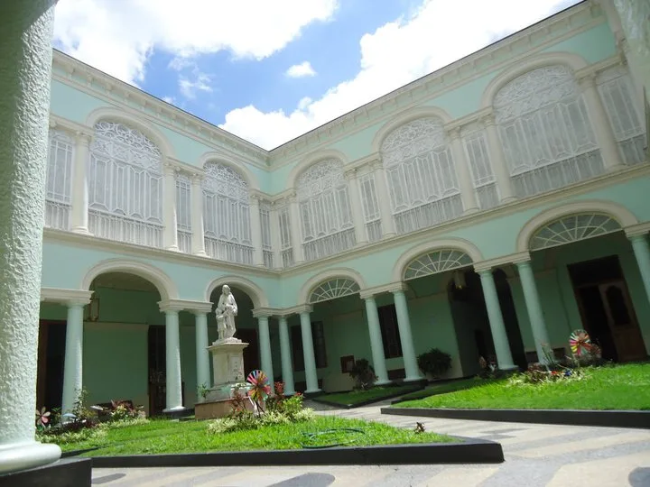
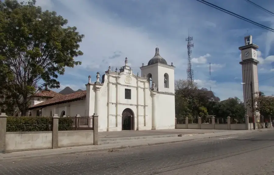
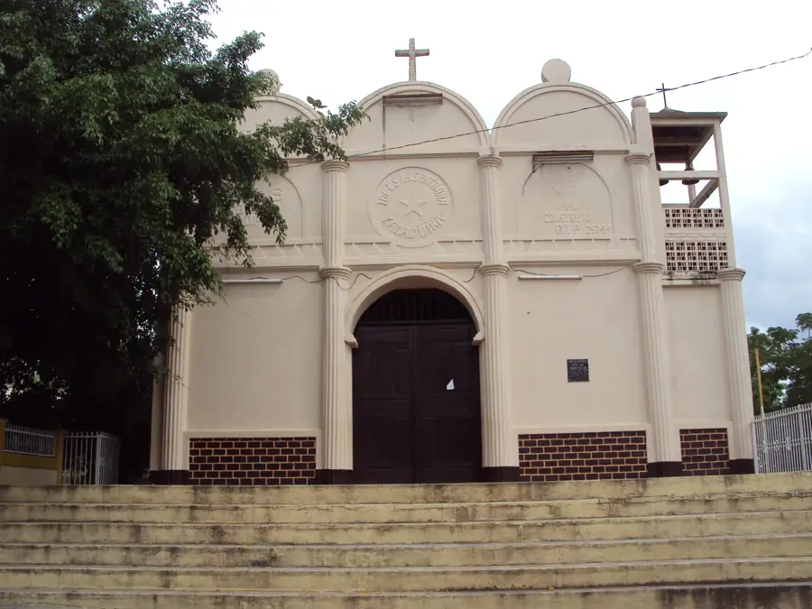
Sights nearby
💡 Tips
- Because of its proximity to the border, always carry your passport or ID when traveling around.
- The region is somewhat remote; ensure your vehicle is in good condition before driving here.
- Mobile network coverage can be spotty in the rural areas; download offline maps in advance.
- The local economy relies on agriculture, so small farming communities are the main point of interest.
🍽 Food
Try this large, hearty traditional tamale typically served on weekend mornings.
These crunchy corn and cheese rings are great for dipping in local coffee.
Grilled pork is a staple here, often served with beans and fresh tortillas at local roadside spots.
🛍 Shopping · 🧘 Quiet spots
El Paraíso produces excellent coffee; buy some directly from local growers.
Pick up bags of freshly baked rosquillas and tustacas at small bakeries.
The hills surrounding the town offer peaceful, expansive views towards Nicaragua.
A quiet spot shaded by trees, handy for a rest in the early evening.
Water temperature…
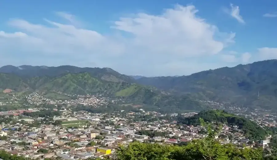
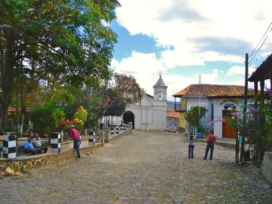
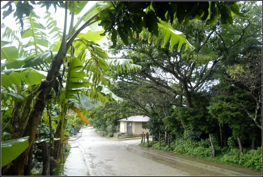
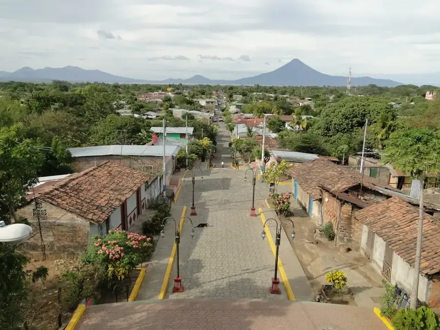
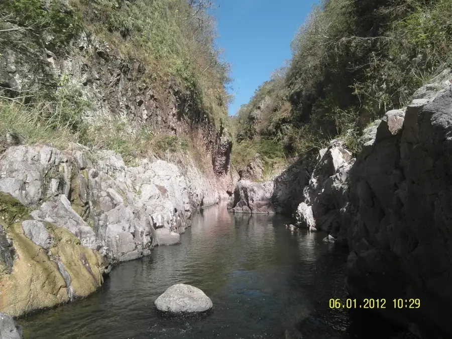
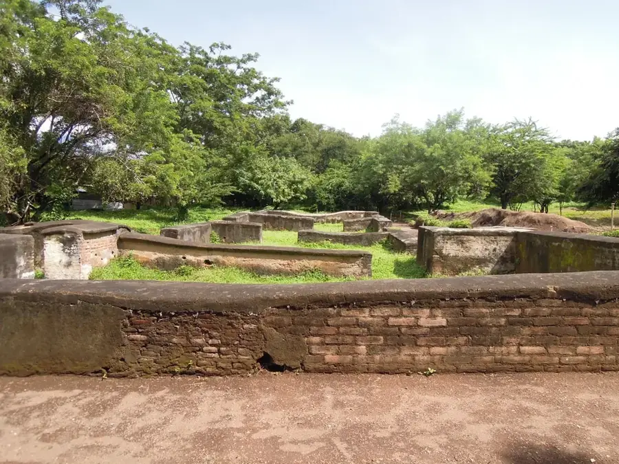
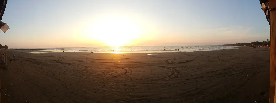
Oropolí is a tradition-rich municipality located in the El Paraíso Department of eastern Honduras, near the border with Nicaragua. Formally established in 1791, the settlement's roots extend back into the Spanish colonial era. Geographically, Oropolí features a diverse landscape ranging from arid hills to fertile river valleys. The region is particularly well-known for its natural thermal springs and sulfur baths, which attract both locals and visitors seeking relaxation and wellness. Economically, Oropolí relies on agriculture, with tobacco cultivation, basic grain farming, and cattle ranching serving as the primary sources of income. A notable natural feature nearby is the series of canyons and rock formations known as 'Los Chorros,' which offer excellent opportunities for nature observation and hiking. The town itself has maintained its rural character and is known for its peaceful way of life and the preservation of local customs. Despite challenges posed by geographical isolation, Oropolí has recently made strides in developing its potential for ecotourism. The municipality's history is closely tied to the agricultural expansion of eastern Honduras and reflects the resilience of the border communities in the region.
- Location: Honduras
- Nearby: Campamento (5 km)
- Population: ~6.013 (2026)
Best time to visit & climate
The most pleasant time to visit is Jan, Feb, Dec.
| Jan | Feb | Mar | Apr | May | Jun | Jul | Aug | Sep | Oct | Nov | Dec | |
|---|---|---|---|---|---|---|---|---|---|---|---|---|
| Avg °C | 22 | 23 | 24 | 26 | 25 | 24 | 23 | 24 | 23 | 23 | 22 | 22 |
| Rain mm | 16 | 14 | 15 | 36 | 143 | 182 | 111 | 122 | 165 | 164 | 52 | 37 |
Geography
Facts
- The municipality of Oropolí was officially founded in 1791.
- It is famous for its natural hot springs and medicinal sulfur baths.
- Oropolí is located in the El Paraíso Department near the border.
- Tobacco cultivation is a significant part of the local agricultural output.
- The name Oropolí translates to 'river of cornmeal' in the native tongue.
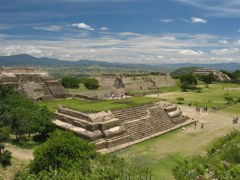
- The 'Los Chorros' canyons are a major natural landmark in the area.
Explore nearby
Notable places around
Route planner — Car & Motorhome
Where do you start? We build the route here, with stops and country notes along the way.
© OpenStreetMap contributors · OpenRouteService
Frequently asked questions
What are the Aguas Calientes?
Is Oropolí good for hikers?
What is grown there?
How is the road to Oropolí?
Are there festivals there?
Oropolí: where is it located?
Oropolí: when is the best time to visit?
Oropolí: why is it worth visiting?

Nearby cities


History & landmarks
More places