Plizio Visual Lab
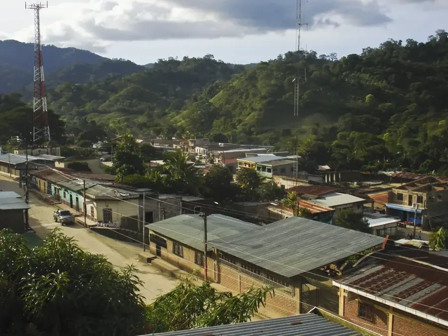
Aguacatal Forest Reserve

Weather…
Water temperature…
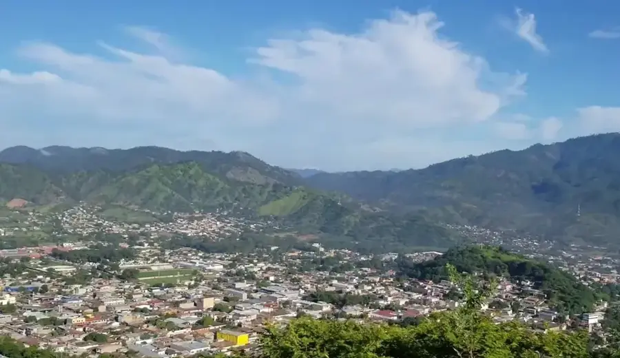
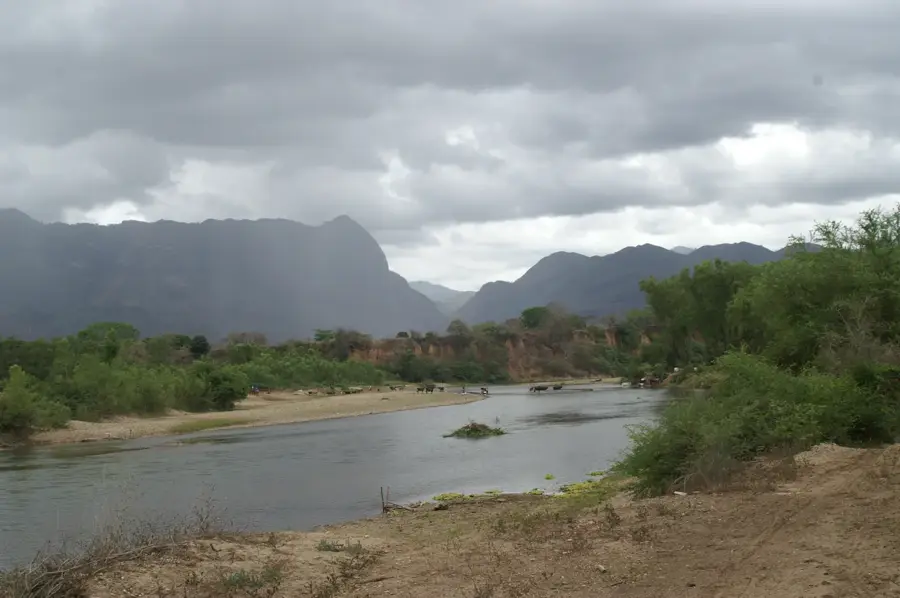
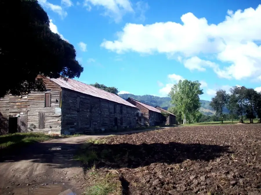
The Aguacatal Forest Reserve, situated in the El Paraíso department, protects a critical remnant of tropical dry forest. This ecosystem is among the most endangered in Central America, hosting specialized plant and animal species adapted to prolonged dry seasons. The reserve serves as a vital biological corridor for wildlife moving across the diverse mountain ranges near the Nicaraguan border. Beyond its ecological role, the forest is instrumental in safeguarding local water sources. Visitors can witness a landscape that undergoes a dramatic transformation between seasons, shifting from dusty browns to animated greens. Preserving Aguacatal is essential for maintaining regional biodiversity and environmental resilience.
- Location: Honduras
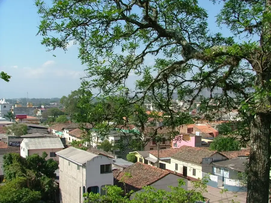
- Nearby: San Francisco de la Paz (8 km)
Best time to visit & climate
The most pleasant time to visit is Jan, Feb, Dec.
| Jan | Feb | Mar | Apr | May | Jun | Jul | Aug | Sep | Oct | Nov | Dec | |
|---|---|---|---|---|---|---|---|---|---|---|---|---|
| Avg °C | 22 | 23 | 24 | 26 | 25 | 24 | 23 | 24 | 23 | 23 | 22 | 22 |
| Rain mm | 16 | 14 | 15 | 36 | 143 | 182 | 111 | 122 | 165 | 164 | 52 | 37 |
📋 Practical info
Geography
Facts
- Protects one of the last remaining dry forest areas in the region.
- Acts as a migration path for predators such as ocelots.
- Many tree species are deciduous, losing leaves during the dry season.
- Home to several rare species of cacti and bromeliads.
- Essential for facilitating rainwater infiltration into the soil.
- Located in close proximity to the Honduras-Nicaragua border.
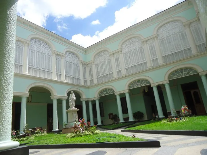
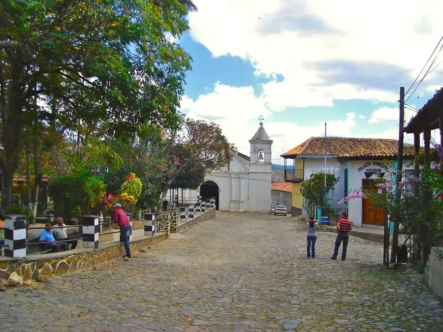
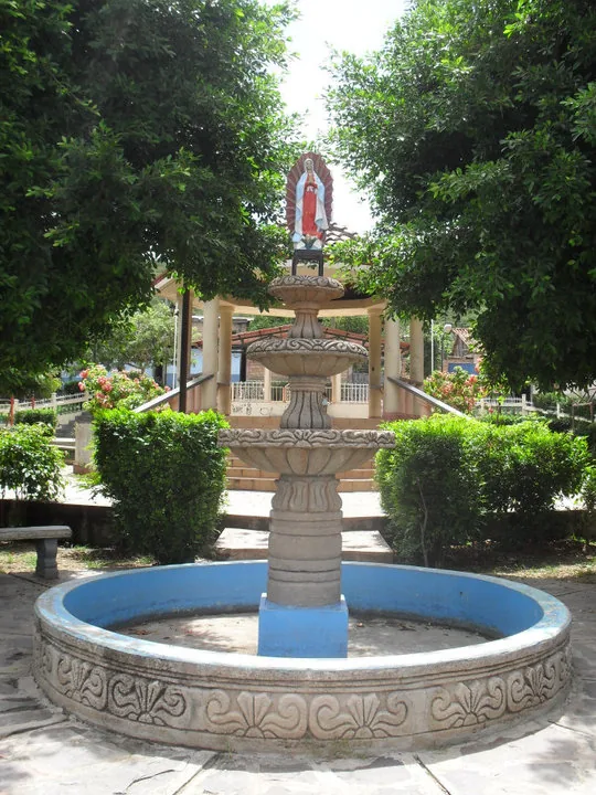
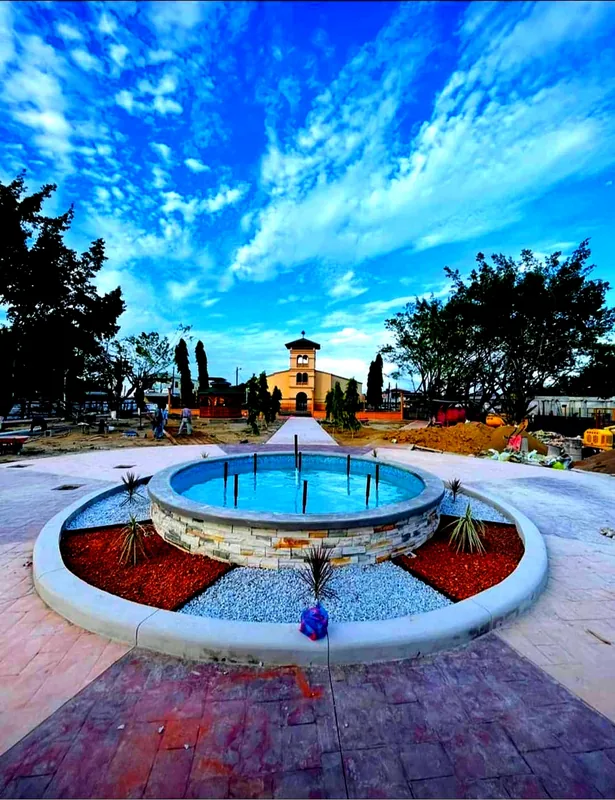
Explore nearby
Notable places around
Route planner — Car & Motorhome
Where do you start? We build the route here, with stops and country notes along the way.
© OpenStreetMap contributors · OpenRouteService
Sights nearby
Frequently asked questions
What does the Aguacatal Forest Reserve protect?
Is the reserve developed for tourism?
Are there hiking trails in Aguacatal?
What animals live there?
What is the terrain like?
Aguacatal Forest Reserve: where is it located?
Aguacatal Forest Reserve: when is the best time to visit?
Aguacatal Forest Reserve: why is it worth visiting?

Nearby cities

More places