Plizio Visual Lab
Somoto Canyon
Weather…
Water temperature…
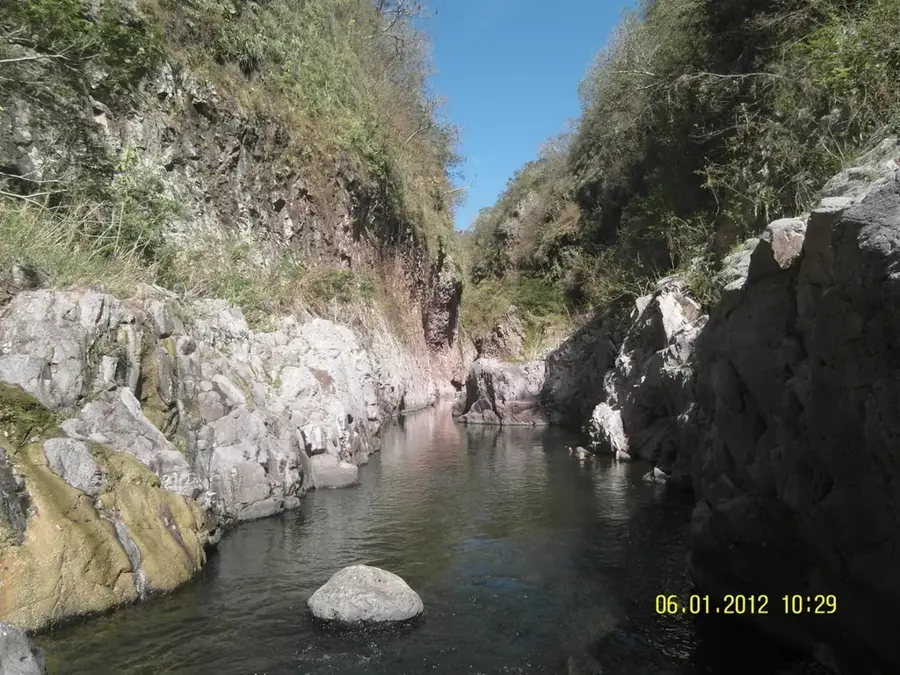
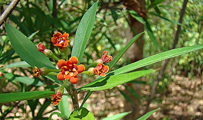
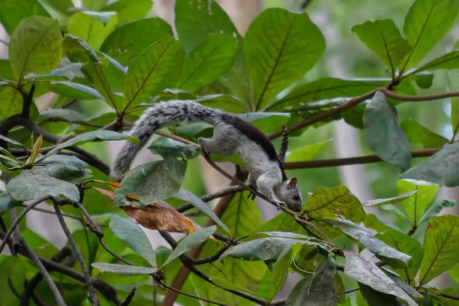
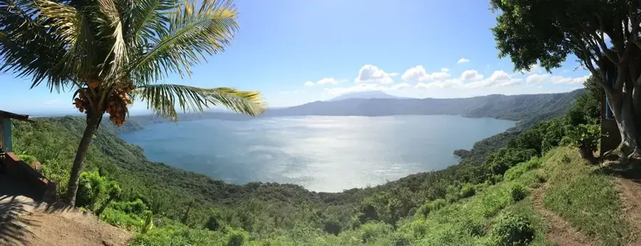
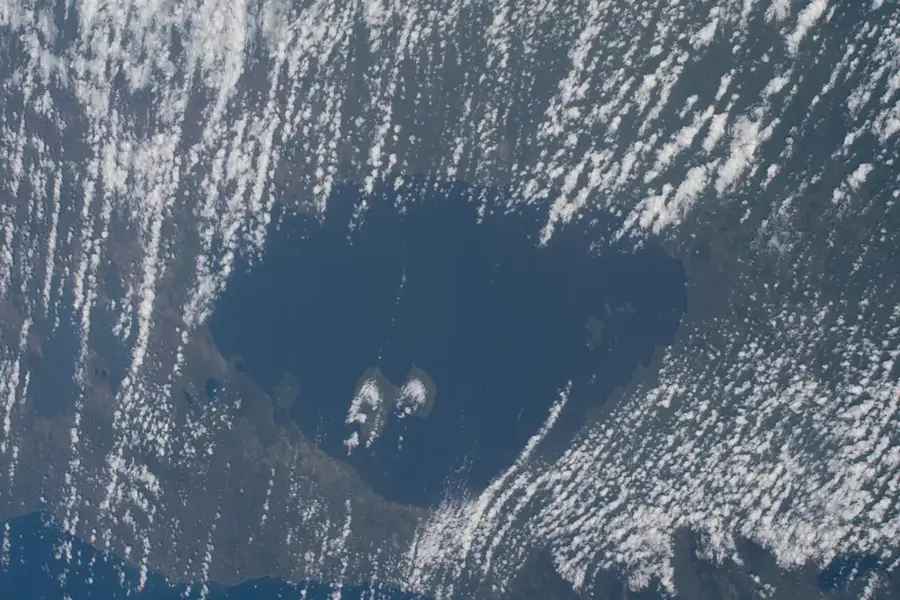
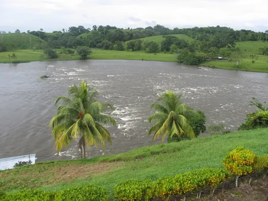
Somoto Canyon, officially named Monumento Nacional Cañón de Somoto, is a striking geological formation in northern Nicaragua near the border with Honduras. Carved over millions of years by the erosion of the Rio Coco, the longest river in Central America, the canyon remained largely unknown to the general public until it was scientifically rediscovered in 2004 by Czech and Nicaraguan researchers. The canyon walls reach heights of up to 150 meters and consist of rock layers dating back to the Tertiary period. It stretches for approximately five kilometers, with some narrow passages measuring only a few meters across. In 2005, the site was declared a National Monument to preserve its unique biodiversity and the hydrological significance of the Rio Coco's headwaters. Today, it is a key destination for eco-tourism, offering activities such as hiking, swimming, and rappelling through ancient landscapes.
- Location: Nicaragua
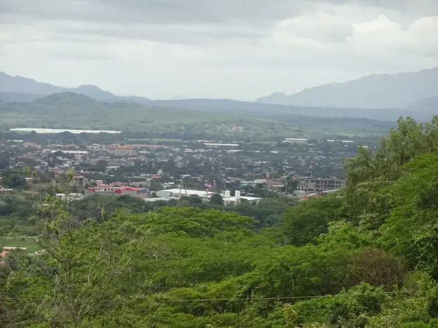
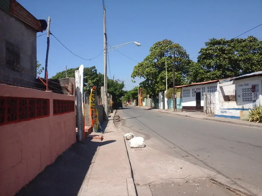
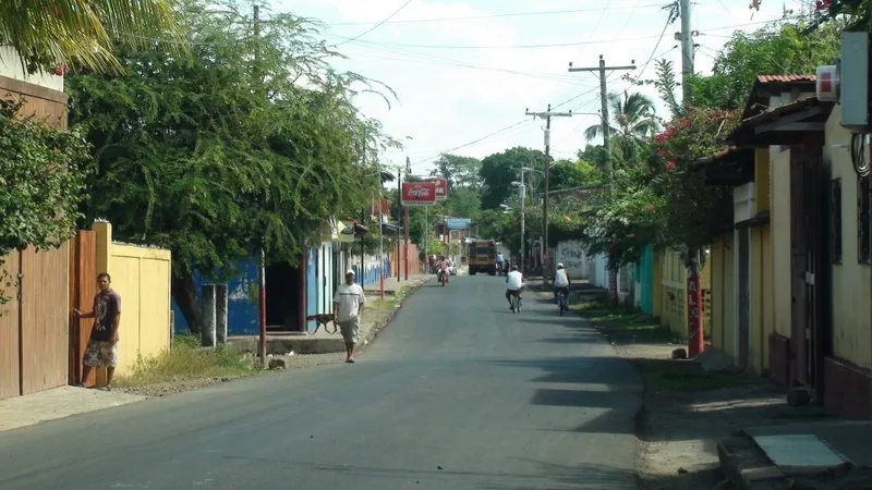
- Nearby: San Juan de Limay (7 km)
Best time to visit & climate
The most pleasant time to visit is Jan, Feb, Dec.
| Jan | Feb | Mar | Apr | May | Jun | Jul | Aug | Sep | Oct | Nov | Dec | |
|---|---|---|---|---|---|---|---|---|---|---|---|---|
| Avg °C | 22 | 23 | 25 | 26 | 25 | 24 | 23 | 24 | 23 | 23 | 22 | 22 |
| Rain mm | 8 | 8 | 11 | 37 | 167 | 201 | 106 | 132 | 215 | 204 | 43 | 26 |
📋 Practical info
Geography
Facts
- Scientifically rediscovered in 2004 by Czech and Nicaraguan scientists.
- The Rio Coco, which carved the canyon, is the longest river in Central America.
- The canyon walls reach a maximum height of 150 meters.
- It was officially declared a National Monument in 2005.
- The geological formations date back to the Tertiary period millions of years ago.
- Located approximately 15 kilometers west of the town of Somoto.
Explore nearby
Notable places around
Route planner — Car & Motorhome
Where do you start? We build the route here, with stops and country notes along the way.
© OpenStreetMap contributors · OpenRouteService
Sights nearby
Frequently asked questions
Do you need to know how to swim in Somoto Canyon?
Are there different routes in the canyon?
What should you bring for the tour?
Are the tours suitable for seniors?
Is there danger in rainy weather?
Somoto Canyon: where is it located?
Somoto Canyon: when is the best time to visit?
Somoto Canyon: why is it worth visiting?

Nearby cities
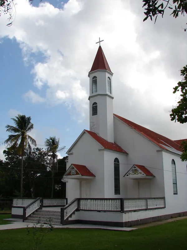
History & landmarks
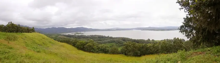
Nature
More places