Plizio Visual Lab
El Arenal Hill
Weather…
Water temperature…
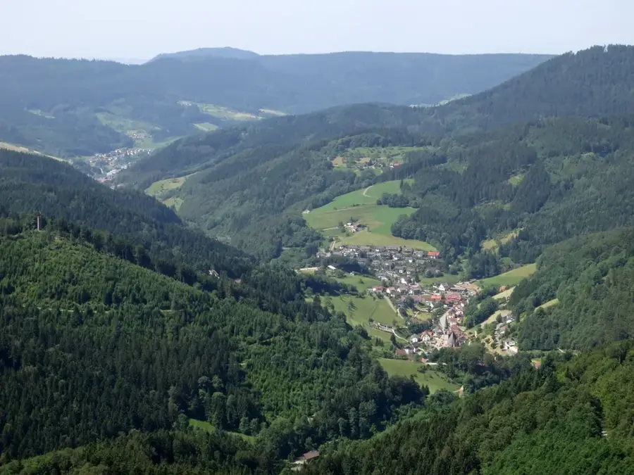
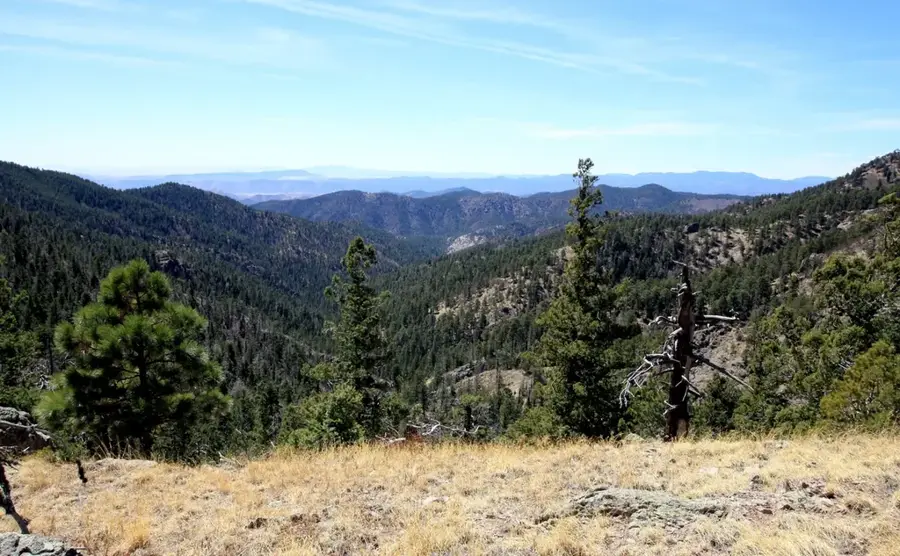
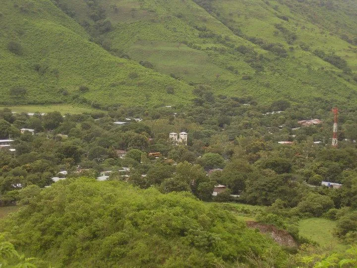
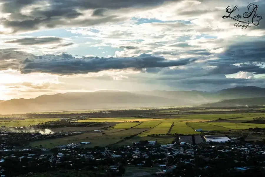
The Cerro El Arenal Nature Reserve is located within the Cordillera Dariense mountain range in northern Nicaragua, near the city of Matagalpa. It encompasses a vital area of cloud forests that reach elevations of up to 1,570 meters above sea level. This ecological zone is characterized by persistent high humidity and cooler temperatures compared to the lowlands, which fosters the growth of epiphytes, mosses, and numerous orchid species. Cerro El Arenal serves as a critical watershed for the region, as its dense canopy captures moisture from passing clouds, feeding local springs and rivers. The area's biological significance led to its official protection in the 1990s to mitigate the impact of agricultural expansion. Today, the reserve is a hub for scientific research and sustainable ecotourism, offering trails where visitors can observe rare wildlife, including the resplendent quetzal. Preserving this ecosystem is essential for protecting endemic species that are highly adapted to the unique conditions of the Nicaraguan highlands.
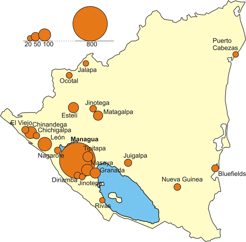
- Location: Nicaragua
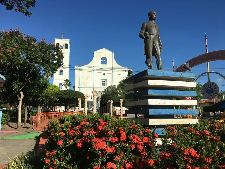
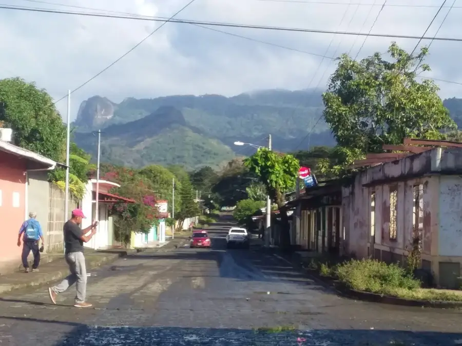
- Nearby: Teustepe (6 km)
Best time to visit & climate
The most pleasant time to visit is Jan, Feb, Dec.
| Jan | Feb | Mar | Apr | May | Jun | Jul | Aug | Sep | Oct | Nov | Dec | |
|---|---|---|---|---|---|---|---|---|---|---|---|---|
| Avg °C | 23 | 24 | 25 | 27 | 26 | 24 | 24 | 24 | 24 | 23 | 22 | 22 |
| Rain mm | 4 | 4 | 10 | 35 | 184 | 211 | 105 | 145 | 259 | 242 | 42 | 17 |
📋 Practical info
Geography
Facts
- The highest elevation in the reserve is approximately 1,570 meters.
- The reserve is part of the Cordillera Dariense mountain range.
- It is home to over 200 documented bird species, including the quetzal.
- Annual rainfall in the area often exceeds 2,000 millimeters.
- Average temperatures range between 15 and 22 degrees Celsius.
- The protected area was officially established in 1991.
Explore nearby
Notable places around
Route planner — Car & Motorhome
Where do you start? We build the route here, with stops and country notes along the way.
© OpenStreetMap contributors · OpenRouteService
Sights nearby
Frequently asked questions
How long does the ascent take?
Is there a marked hiking trail?
Is it suitable for families?
How is the weather at the peak?
Do I need a lot of water?
El Arenal Hill: where is it located?
El Arenal Hill: when is the best time to visit?
El Arenal Hill: why is it worth visiting?

Nearby cities


History & landmarks
Nature
More places