Plizio Visual Lab
Terrabona
ℹ️Practical info — Terrabona
▾
🌤 Weather — 5 days
📍 Nearby
Sights nearby
💡 Tips
- Hike to 'Piedra de la Luna' for a spectacular panoramic view of the valley.
- Terrabona is drier than Matagalpa; always carry enough water with you.
- Visit the town in May during the festival in honor of Saint Isidore.
- The roads are winding; if driving, watch out for livestock on the roadway.
- Ask locals for directions to Cerro Moyuá for a real adventure.
🍽 Food
A hearty stew made of corn and meat, especially good in the market eateries.
Cooked corn dough in banana leaves, a well-suited travel snack.
Traditional drink made of toasted corn and cocoa, often served in Jícaras.
🛍 Shopping · 🧘 Quiet spots
Terrabona is known for the quality of its beans and corn.
Simple but functional pottery made by local artisans.
A quiet walk in the shade of the trees in the town center.
The paths leading out of town into the dry hills are very peaceful.
Water temperature…
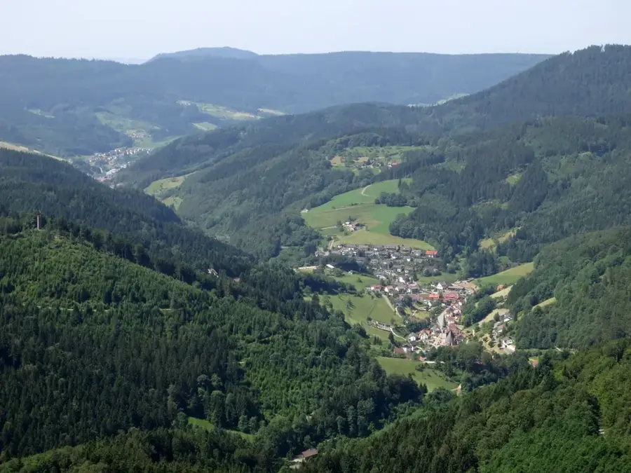
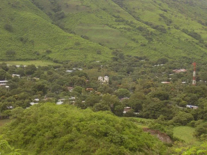
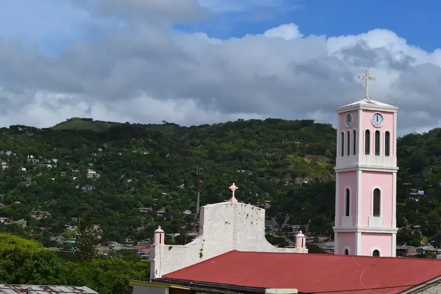
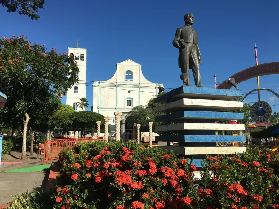
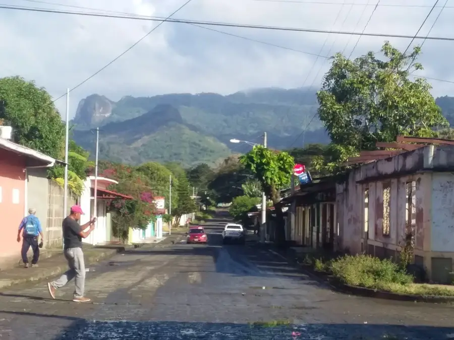
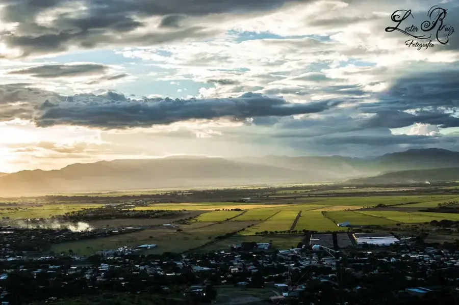
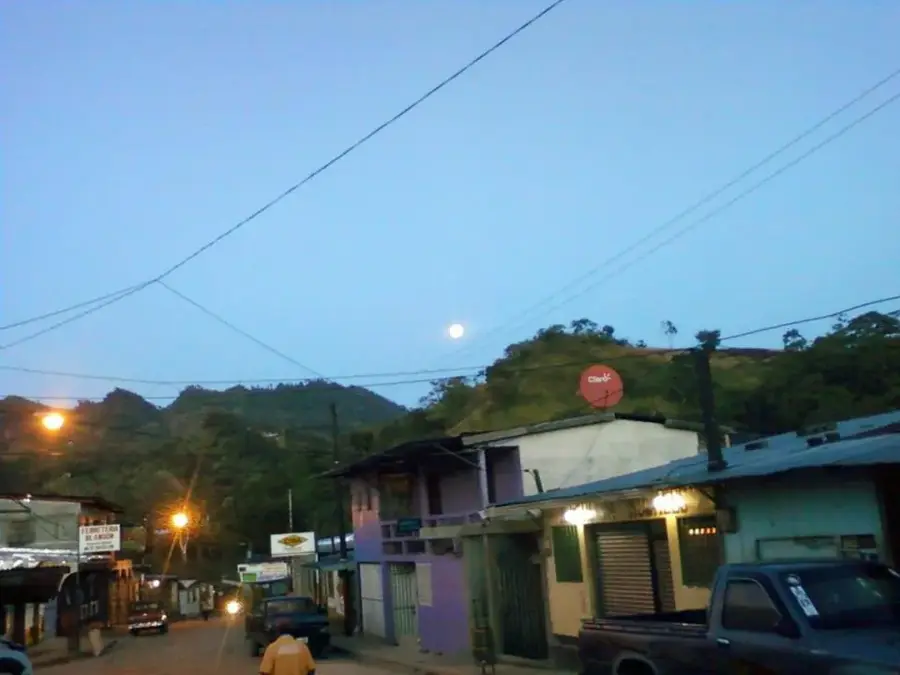
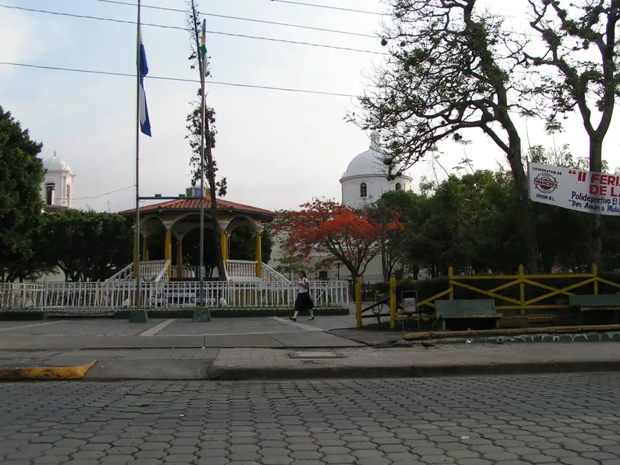
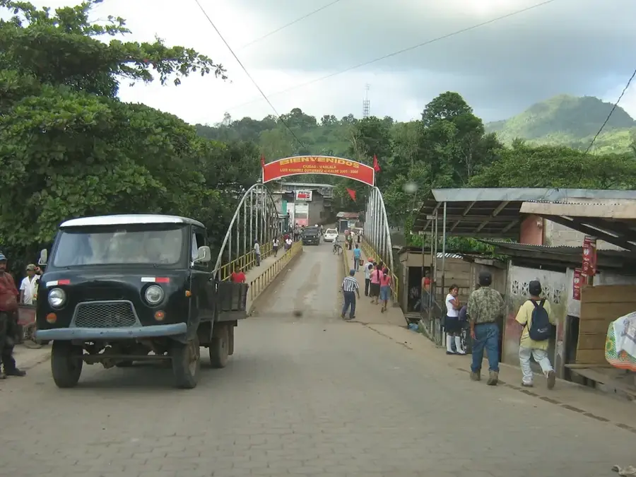
Terrabona is an easy on the eye municipality in the southwestern Matagalpa Department, with a name that literally translates to "good land," reflecting its fertile agricultural soils. Founded in 1830, the town is set in a basin-like valley surrounded by distinctive mountain ridges such as the Caracol and San Juan mountains. Geographically, Terrabona is situated within a drier climatic zone of the department, leading to an economy heavily focused on basic grains like maize and beans, vegetable farming, and livestock ranching. Despite receiving less rainfall than the northern reaches of Matagalpa, the region is home to a long-standing tradition in artisanal crafts and small-scale animal husbandry. The town's architecture is simple and colonial in style, featuring a central church that serves as the heart of religious and social life. Historically, the area was a refuge for indigenous groups during the colonial era. Currently, Terrabona is working to develop sustainable irrigation systems to buffer its agricultural output against the increasingly unpredictable climate patterns.
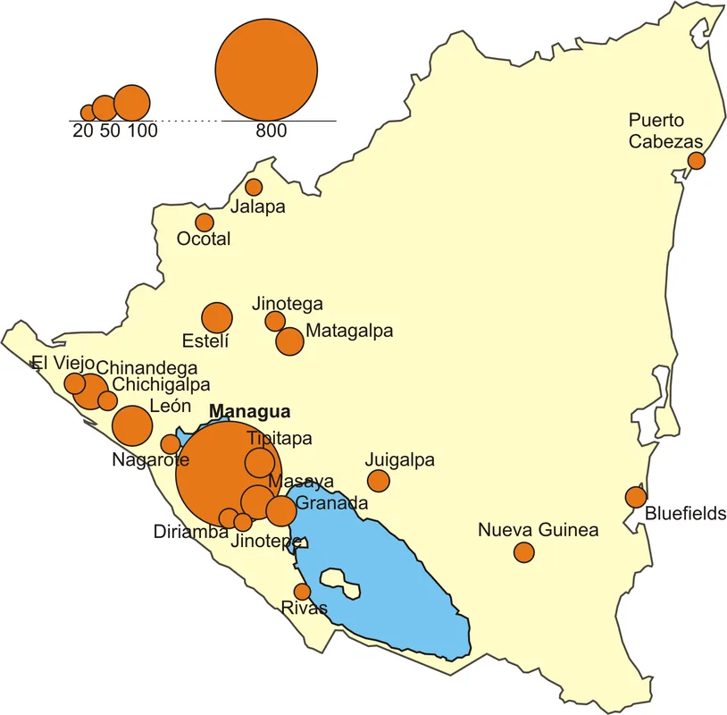
- Location: Nicaragua
- Nearby: Ciudad Darío (4 km)
- Population: ~1.902 (2026)
Best time to visit & climate
The most pleasant time to visit is Jan, Feb, Dec.
| Jan | Feb | Mar | Apr | May | Jun | Jul | Aug | Sep | Oct | Nov | Dec | |
|---|---|---|---|---|---|---|---|---|---|---|---|---|
| Avg °C | 26 | 28 | 29 | 30 | 29 | 27 | 27 | 27 | 26 | 26 | 25 | 26 |
| Rain mm | 2 | 3 | 8 | 32 | 192 | 208 | 108 | 157 | 281 | 273 | 58 | 11 |
Geography
Facts
- Terrabona was officially founded in the year 1830.
- The name is derived from the Latin terms for "good land."
- The town is located approximately 125 kilometers north of Managua.
- The Caracol Mountains are a prominent geographical feature nearby.
- Maize and beans are the primary agricultural staples grown here.
- The municipality is part of the drier climatic corridor of Matagalpa.
Explore nearby
Notable places around
Route planner — Car & Motorhome
Where do you start? We build the route here, with stops and country notes along the way.
© OpenStreetMap contributors · OpenRouteService
Sights in the town Terrabona (1)
Frequently asked questions
What is typical for Terrabona?
Is it worth a visit?
Are there cultural highlights there?
How to reach Terrabona?
Do you need a lot of time?
Terrabona: where is it located?
Terrabona: when is the best time to visit?
Terrabona: why is it worth visiting?

Nearby cities


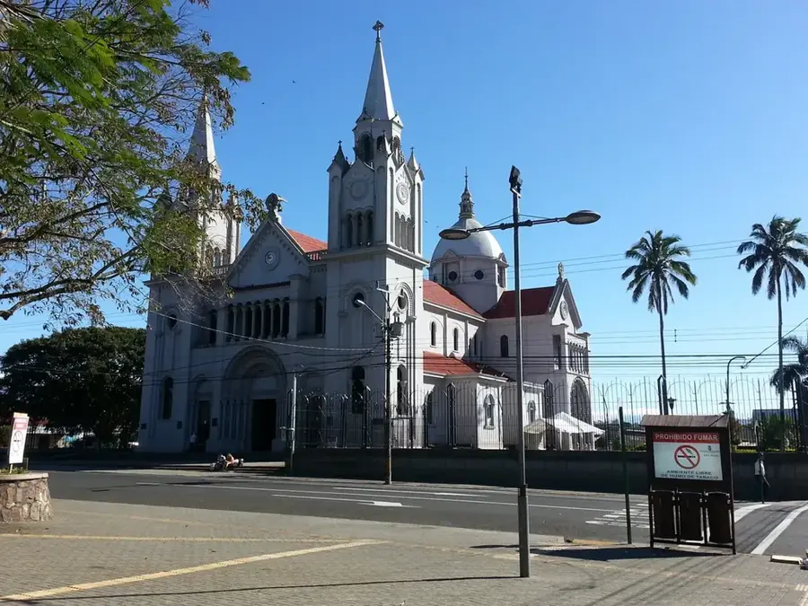


History & landmarks
Nature
More places