Plizio Visual Lab
Sébaco
ℹ️Practical info — Sébaco
▾
🌤 Weather — 5 days
📍 Nearby
Sights nearby
💡 Tips
- Stop at the highway junction to buy the freshest vegetables directly from producers.
- Visit the Pre-Columbian Museum in nearby Chagüitillo for local artifacts.
- Sébaco is a well-suited lunch stop when traveling between Managua and the northern highlands.
- Wear sturdy shoes if you plan to visit the nearby petroglyphs or waterfalls.
- Visit in March or April to see the peak of the onion and vegetable harvests.
🍽 Food
Sweet corn tortillas traditionally served with fresh 'cuajada' cheese.
Quick and hearty meals for travelers along the Pan-American highway.
Try local dishes featuring the region's famous yellow onions.
🛍 Shopping · 🧘 Quiet spots
Buy bulk onions and peppers at very low prices directly at the junction.
A hub for authentic local commerce and fresh produce.
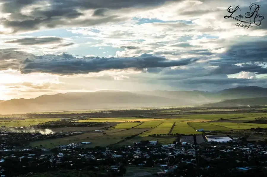
Provides panoramic views over the fertile agricultural valley.
A natural swimming spot nearby, away from the highway noise.
Ancient rock carvings located in a peaceful natural setting.
Water temperature…
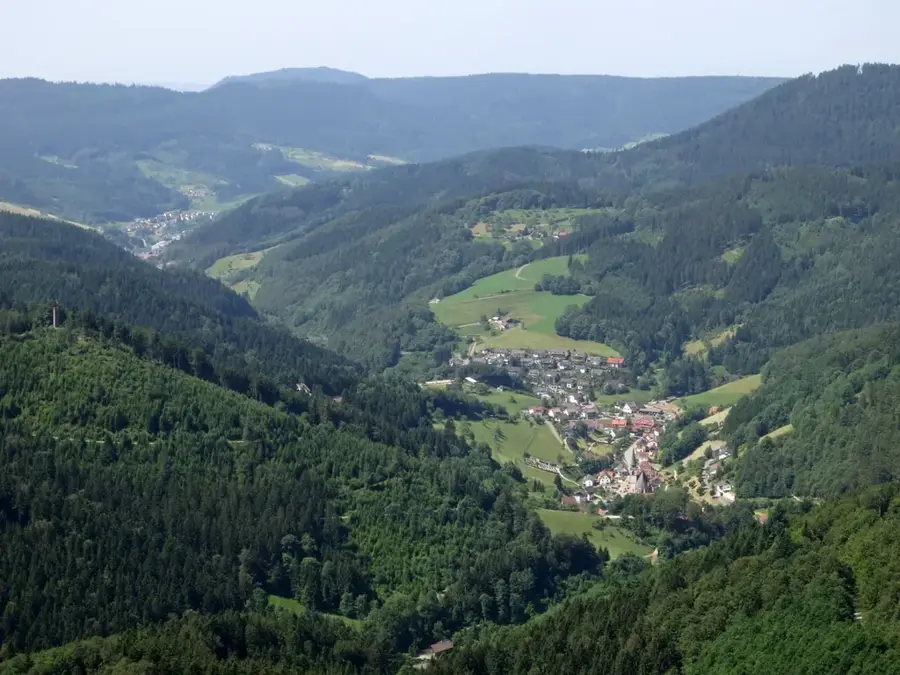
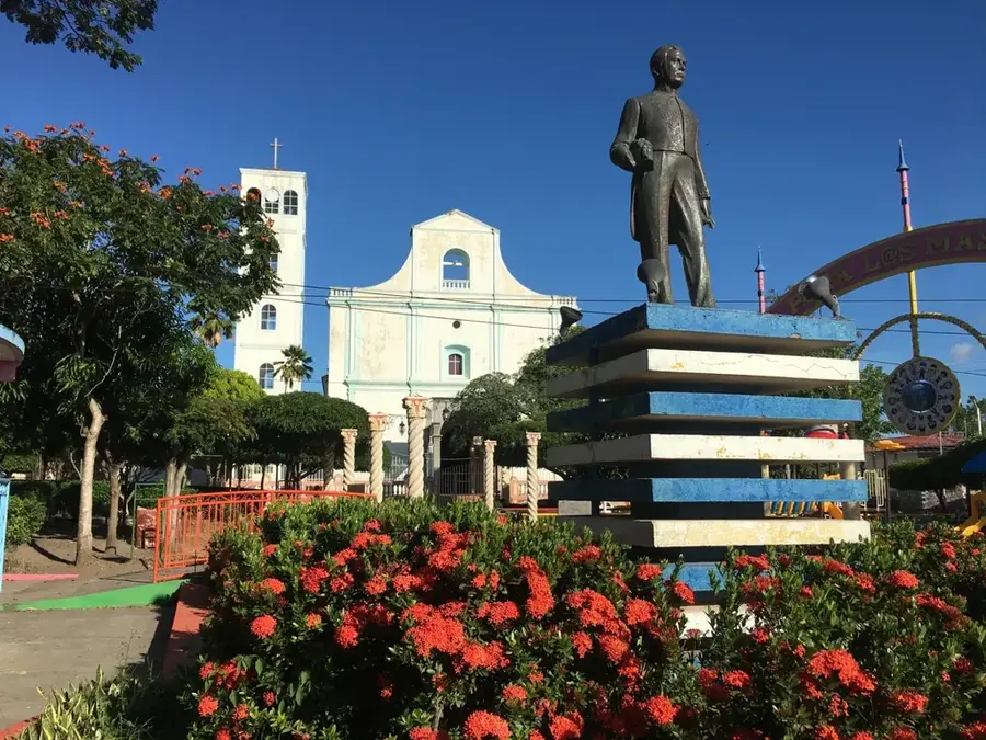
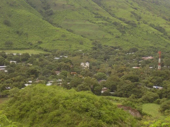
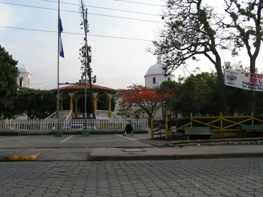
The city of Sébaco is located in the valley of the same name within the Matagalpa Department and is recognized as one of Nicaragua's most vital agricultural hubs. The settlement has pre-Columbian origins and was originally inhabited by the Chorotega people prior to Spanish colonization. Due to its strategic location at the junction of the Pan-American Highway and the main road leading to the northern highlands, Sébaco has evolved into a major commercial trading point. The fertile alluvial soil of the valley is intensively farmed for rice, onions, and various vegetables, earning the region the nickname "The Granary of Nicaragua." The Rio Grande de Matagalpa flows through the municipal territory, providing the essential water supply for extensive crop irrigation. In recent decades, the population has grown steadily, and the city now serves as a crucial bridge between the Pacific lowlands and the central mountainous region. The local economy also benefits from numerous agricultural processing plants and a lively market culture that attracts traders from across the nation.
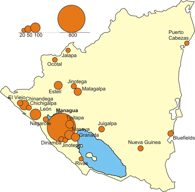
- Location: Nicaragua
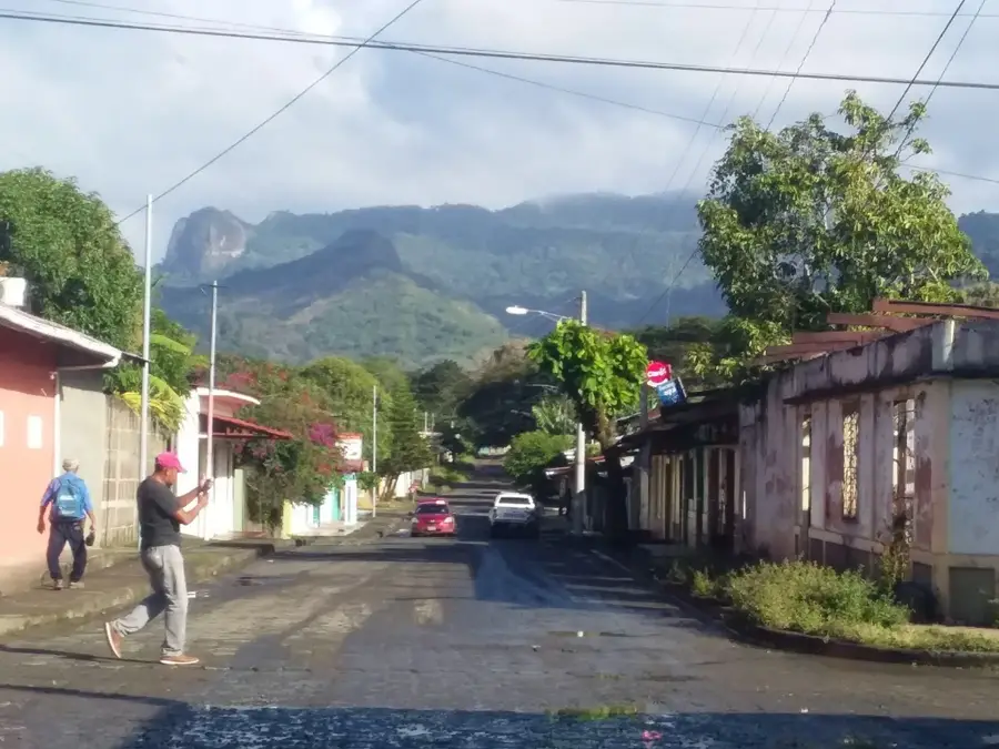
- Top sights: Loma Las Mesas · Cerro de La Cruz
- Nearby: Tipitapa (5 km)
Best time to visit & climate
The most pleasant time to visit is Jan, Feb, Dec.
| Jan | Feb | Mar | Apr | May | Jun | Jul | Aug | Sep | Oct | Nov | Dec | |
|---|---|---|---|---|---|---|---|---|---|---|---|---|
| Avg °C | 23 | 24 | 25 | 27 | 26 | 24 | 24 | 24 | 24 | 23 | 22 | 22 |
| Rain mm | 4 | 4 | 10 | 35 | 184 | 211 | 105 | 145 | 259 | 242 | 42 | 17 |
Geography
Facts
- Sébaco is situated at an average elevation of approximately 450 meters above sea level.
- The name originates from the indigenous Nahuatl language and originally means "Snake Woman."
- The region produces over 60% of the onions consumed within the nation of Nicaragua.
- The Sébaco Valley covers an area of approximately 300 square kilometers of highly productive land.
- The city serves as a critical transportation hub between Managua and the Matagalpa and Jinotega departments.
- The annual average temperature in the region remains constant at around 26 degrees Celsius.
Explore nearby
Notable places around
Route planner — Car & Motorhome
Where do you start? We build the route here, with stops and country notes along the way.
© OpenStreetMap contributors · OpenRouteService
Sights in the town Sébaco (2)
Frequently asked questions
Why is Sébaco an important transport hub?
How many days should I plan here?
What is the best season for Sébaco?
Are there local markets there?
What is worth seeing near Sébaco?
Sébaco: where is it located?
Sébaco: what is there to see?
Sébaco: when is the best time to visit?
Sébaco: why is it worth visiting?

Nearby cities


History & landmarks
Nature
More places