Plizio Visual Lab
Santa Rosa del Peñón
ℹ️Practical info — Santa Rosa del Peñón
▾
🌤 Weather — 5 days
📍 Nearby
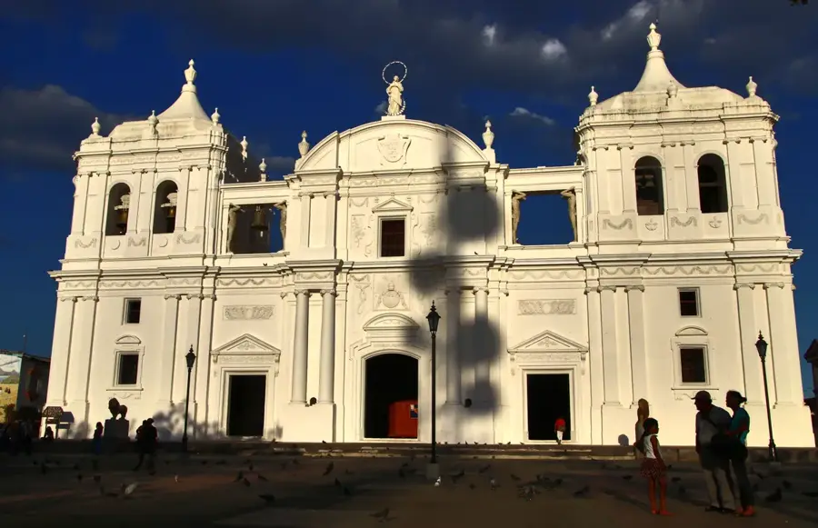
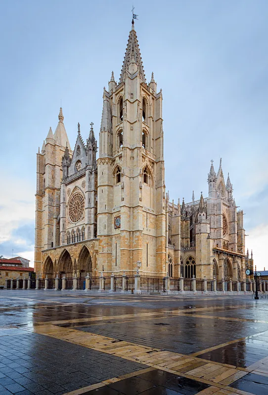
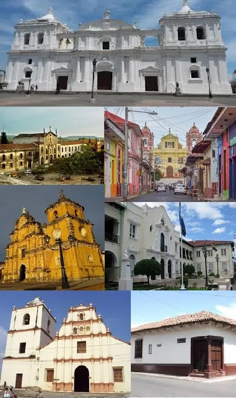
Sights nearby
💡 Tips
- Stay well hydrated as this is one of the hottest regions in Nicaragua.
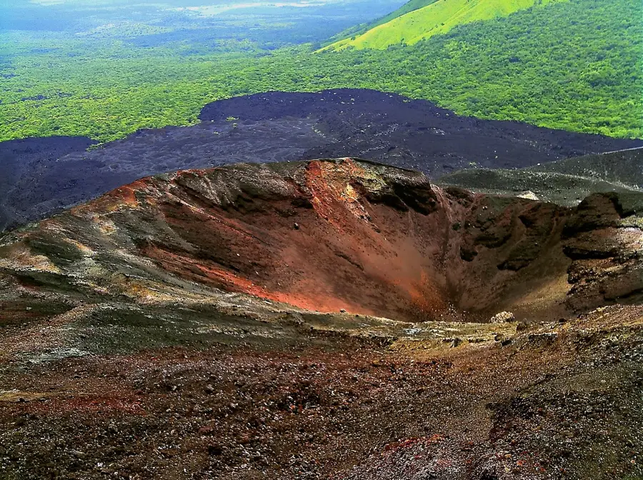
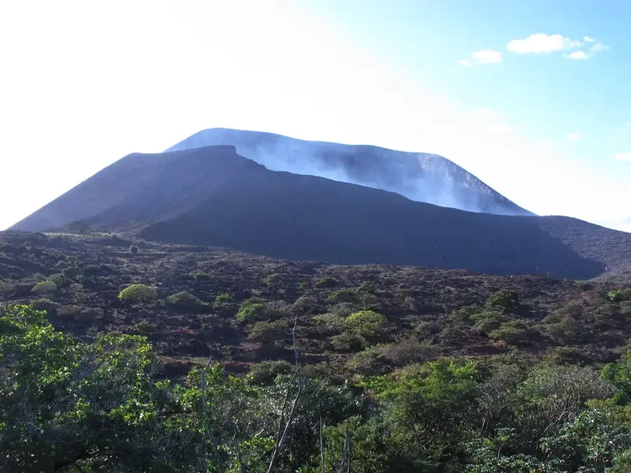
- Visit the 'Peñón', a striking rock formation after which the town is named.
- Learn about the gold and gypsum mining history that shapes the local identity.
- Avoid walking during midday sun; use the cooler early morning hours for exploring.
🍽 Food
Grilled meat prepared fresh at street stalls in the evening.
Refreshing passion fruit juice, the best remedy for the intense heat.
Corn tortillas served warm, found in most local family eateries.
🛍 Shopping · 🧘 Quiet spots
Locals occasionally sell interesting stones or gypsum pieces from the nearby mines.
A small market for daily needs and fresh tropical produce.
A cool and peaceful refuge from the scorching outdoor sun.
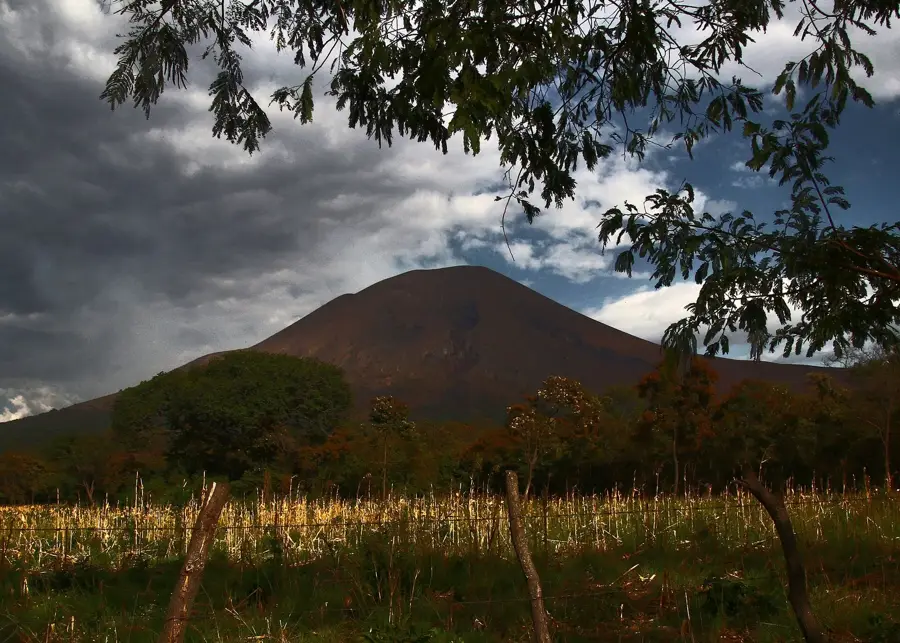
The nearby hills offer wide views over the rugged, dry landscape.
Water temperature…
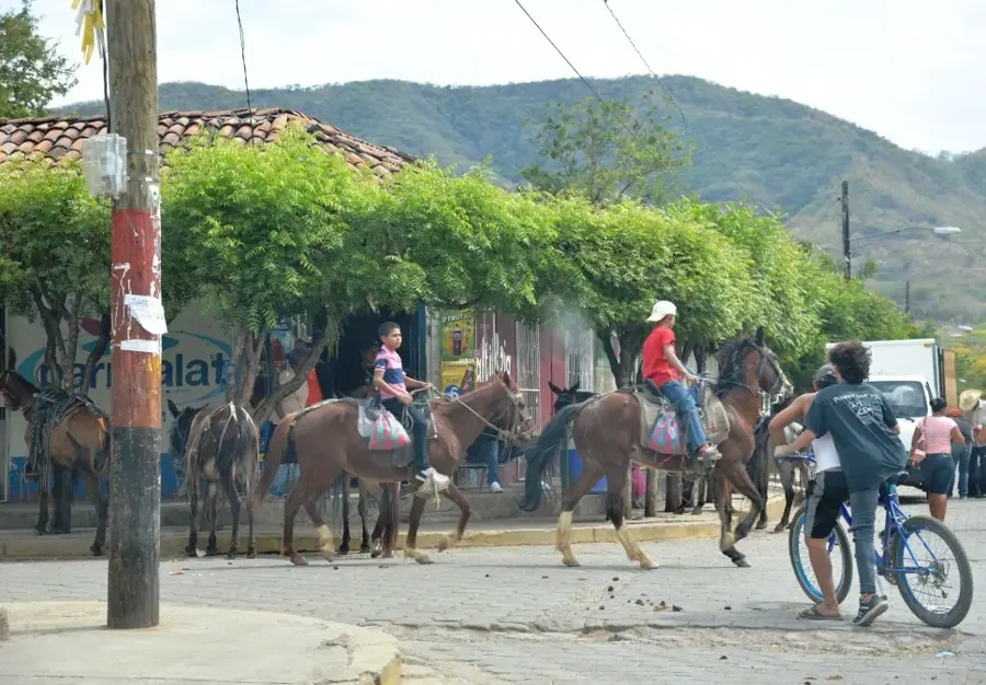
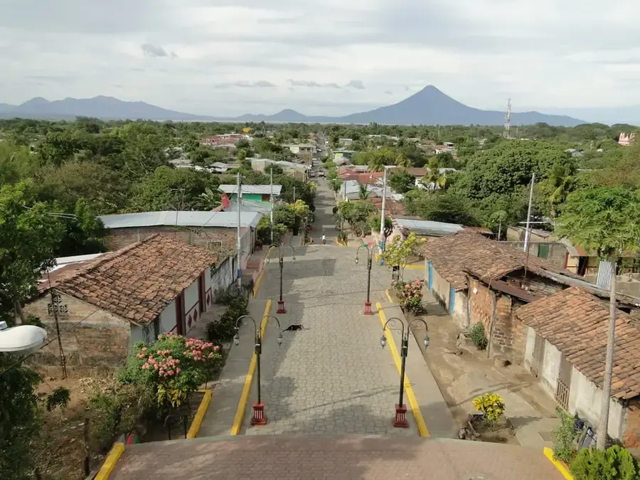
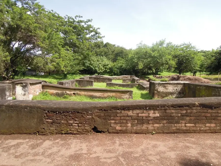
Santa Rosa del Peñón is a remote and characterful municipality in the León department, primarily known for its mining industry and dry, hilly landscape. The town was founded in 1852 and developed into an important mining center due to rich gypsum deposits in the surrounding area. Geographically, the territory lies in a transition zone between the Nicaraguan lowlands and the central highlands, resulting in a hot and arid climate. Besides mining, agriculture, particularly grain cultivation and livestock farming under challenging climatic conditions, plays a central role. The local infrastructure is modest but reflects the resilience of the residents in the face of harsh nature. In recent years, efforts have been made to promote ecological mining and improve living conditions through better road connections to the provincial capital of León.
- Location: Nicaragua
- Nearby: Diriamba (7 km)
- Population: ~2.913 (2020)
Best time to visit & climate
The most pleasant time to visit is Jan, Feb, Dec.
| Jan | Feb | Mar | Apr | May | Jun | Jul | Aug | Sep | Oct | Nov | Dec | |
|---|---|---|---|---|---|---|---|---|---|---|---|---|
| Avg °C | 23 | 24 | 25 | 27 | 26 | 24 | 24 | 24 | 24 | 23 | 22 | 22 |
| Rain mm | 4 | 4 | 10 | 35 | 184 | 211 | 105 | 145 | 259 | 242 | 42 | 17 |
Geography
Facts
- Santa Rosa del Peñón was officially founded on February 13, 1852.
- The town is located about 170 kilometers northwest of the capital, Managua.
- The region possesses the largest gypsum deposits in all of Nicaragua.
- The average annual temperature often reaches over 30 degrees Celsius.
- The municipality is situated at an elevation of about 160 meters above sea level.
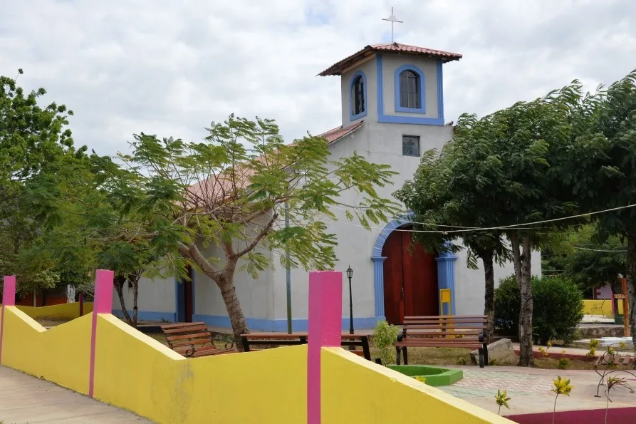
- The patronal feast in honor of Saint Rose of Lima is celebrated in August.
Explore nearby
Notable places around
Route planner — Car & Motorhome
Where do you start? We build the route here, with stops and country notes along the way.
© OpenStreetMap contributors · OpenRouteService
Frequently asked questions
How much time should I plan for Santa Rosa del Peñón?
When is the weather best?
Is the place suitable for families?
How do I get there?
What is special to see?
Santa Rosa del Peñón: where is it located?
Santa Rosa del Peñón: when is the best time to visit?
Santa Rosa del Peñón: why is it worth visiting?

Nearby cities

History & landmarks

More places