Plizio Visual Lab
Puerto Lempira
ℹ️Practical info — Puerto Lempira
▾
🌤 Weather — 5 days
📍 Nearby
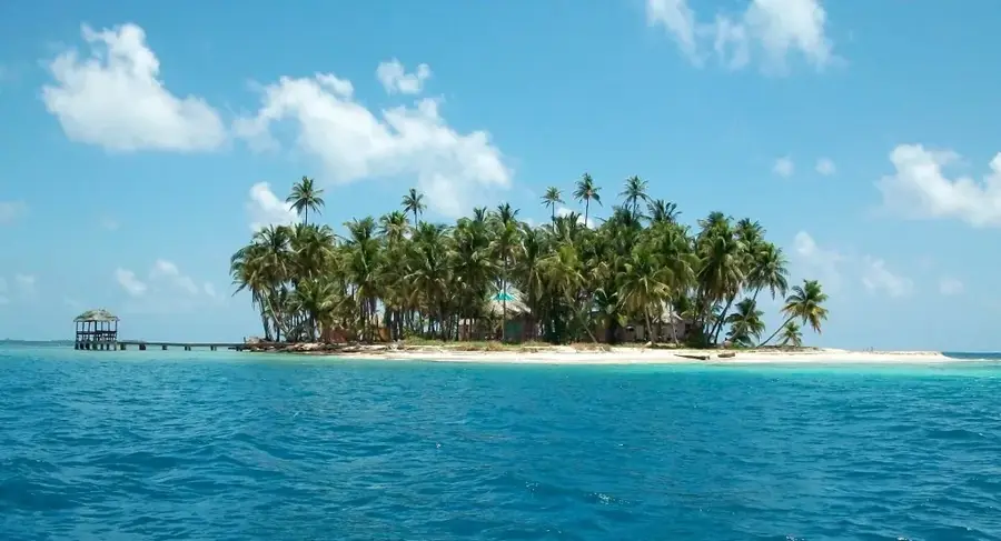
Sights nearby
💡 Tips
- Planes or boats are the main modes of transport here; always plan extra time for weather-related delays.
- Drinking water should always come from bottled sources; avoid tap water and ice cubes.
- Bring plenty of cash in local currency (Lempiras), as ATMs are highly unreliable here.
- Electricity outages are common, so pack a good flashlight or a power bank.
- Spanish is useful, but Miskito is the dominant local language; a few basic greetings open many doors.
🍽 Food
A traditional Miskito beef soup with cassava, offered in small local eateries.
Look for freshly caught fish served with fried plantain slices at simple waterfront food stalls.
Fresh coconut bread, often baked by female street vendors in the morning and sold warm.
🛍 Shopping · 🧘 Quiet spots
Look out for small wood or bark carvings that are occasionally sold at the central market.
The central market is the best place to stock up on fresh tropical fruits and basic supplies.
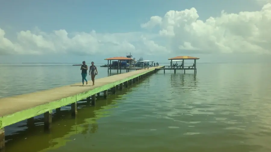
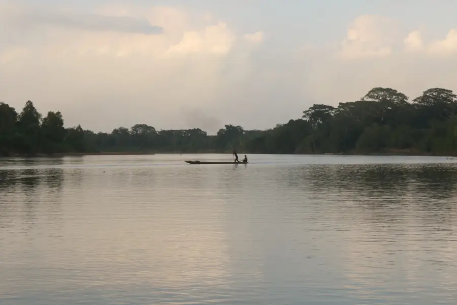
The shore of the huge lagoon features peaceful moments, good for watching passing dugout canoes.
The square around the Moravian Church often provides a quiet and shady spot to rest.
Water temperature…
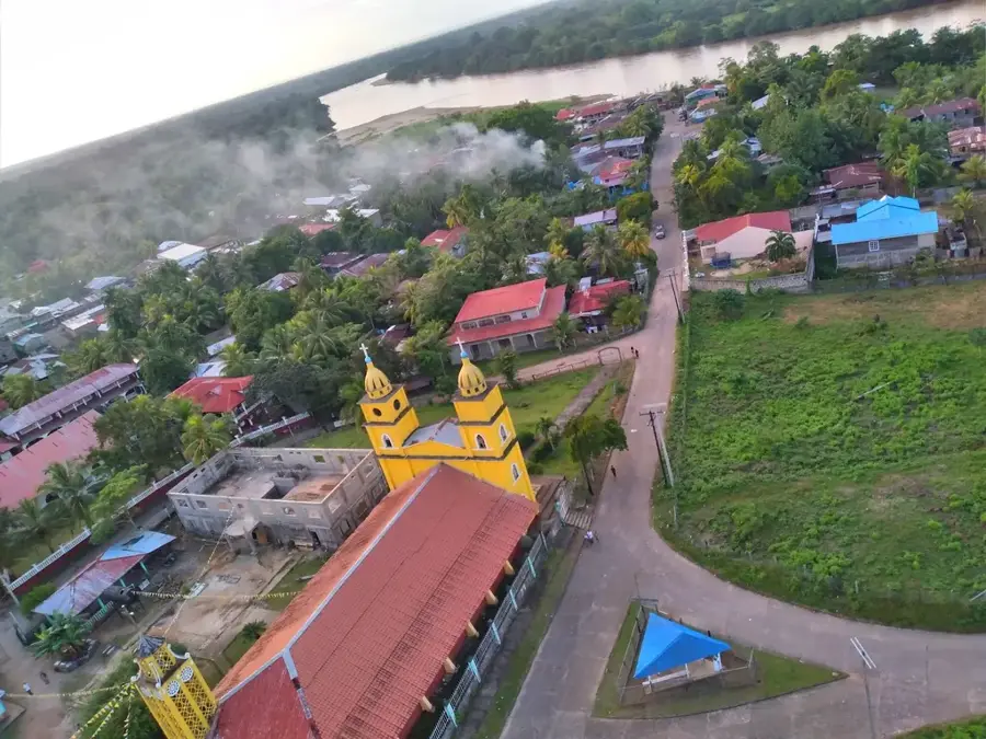
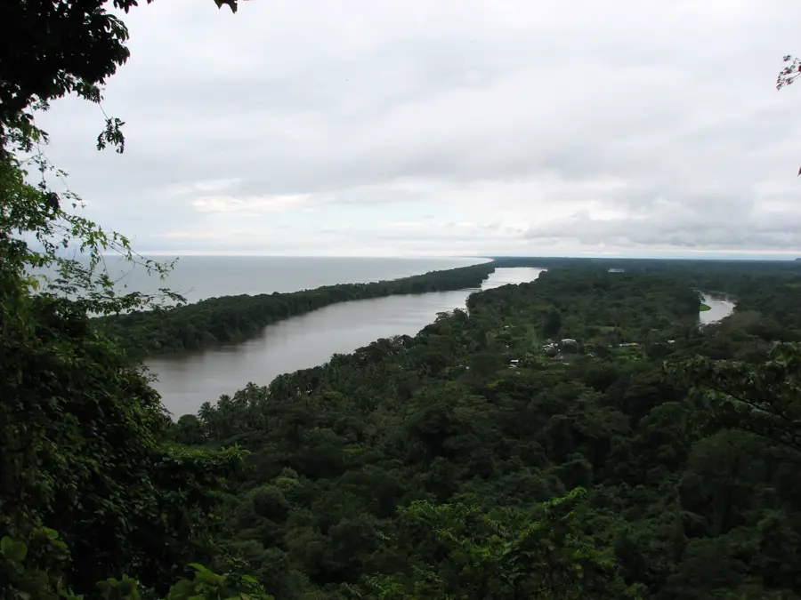
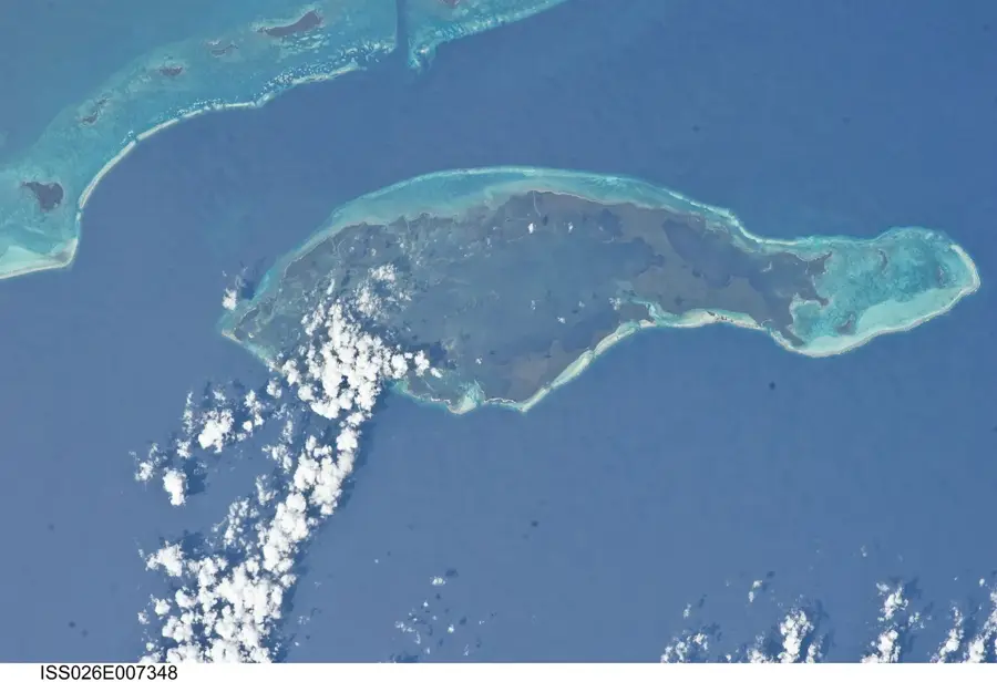
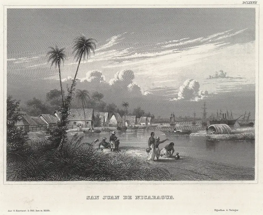
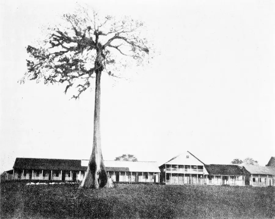
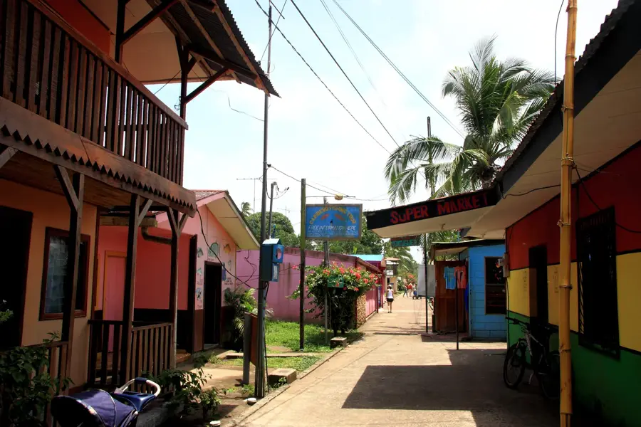
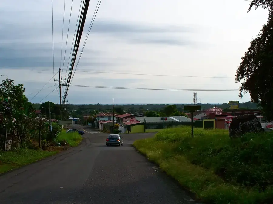
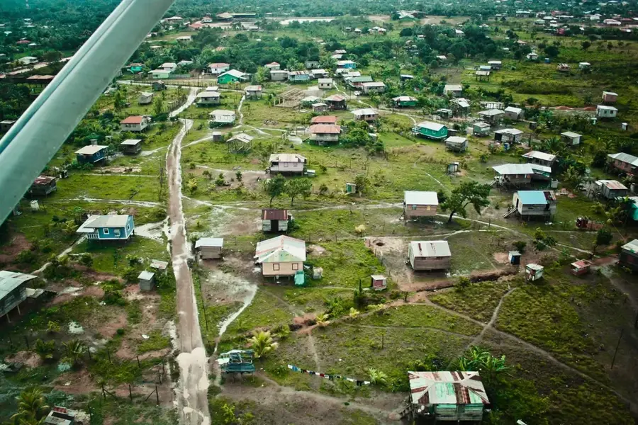
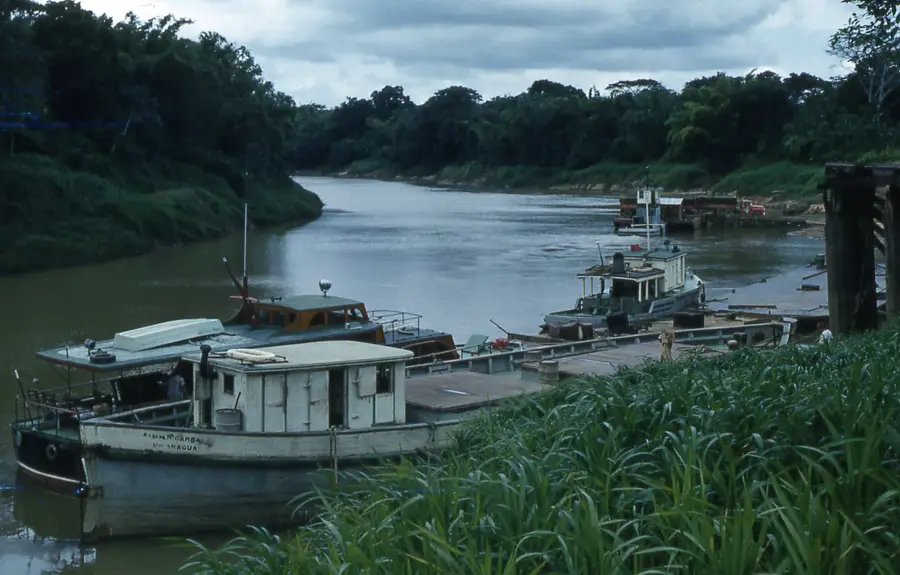
Puerto Lempira is the remote and captivating capital of the Gracias a Dios department, situated in the northeastern corner of Honduras within the vast wilderness of La Mosquitia. Located on the shores of the Caratasca Lagoon, the city is geographically isolated from the rest of the country, with no year-round road access to the capital or other major cities. This isolation makes Puerto Lempira one of the most unique administrative centers in Central America, reachable primarily by small aircraft or coastal vessels. The city's population is predominantly composed of the Miskito indigenous people, and the Miskito language is widely spoken alongside Spanish, shaping a distinct cultural identity. Puerto Lempira was designated as the department capital in 1957, taking its name from the Lenca chieftain who is a national symbol of resistance. The local economy is centered on artisanal and industrial fishing, particularly the harvesting of Caribbean spiny lobsters and shrimp for international export. As the primary urban center for the Mosquitia region, it hosts essential services including the regional hospital, government offices, and schools that serve the surrounding remote villages. The architecture reflects its environment, with many buildings elevated on stilts to withstand the tropical rains and the marshy terrain of the lagoon. Despite its remoteness, Puerto Lempira is a hub for environmental conservation efforts, given its proximity to the Río Plátano Biosphere Reserve, a UNESCO World Heritage site. The surrounding landscape is a mosaic of mangroves, pine savannas, and dense rainforests, home to diverse wildlife such as manatees and jaguars. Cultural life is deeply rooted in Miskito traditions, with music and communal storytelling playing a vital role. For those who visit, Puerto Lempira features a rare glimpse into a part of Honduras where nature and indigenous heritage remain largely untouched by mainstream modernization.
- Location: Honduras
- Population: ~5.000 (2025)
Best time to visit & climate
The most pleasant time to visit is Feb–Apr.
| Jan | Feb | Mar | Apr | May | Jun | Jul | Aug | Sep | Oct | Nov | Dec | |
|---|---|---|---|---|---|---|---|---|---|---|---|---|
| Avg °C | 26 | 26 | 26 | 27 | 28 | 28 | 28 | 28 | 28 | 28 | 27 | 27 |
| Rain mm | 151 | 92 | 72 | 82 | 174 | 289 | 283 | 263 | 217 | 454 | 363 | 219 |
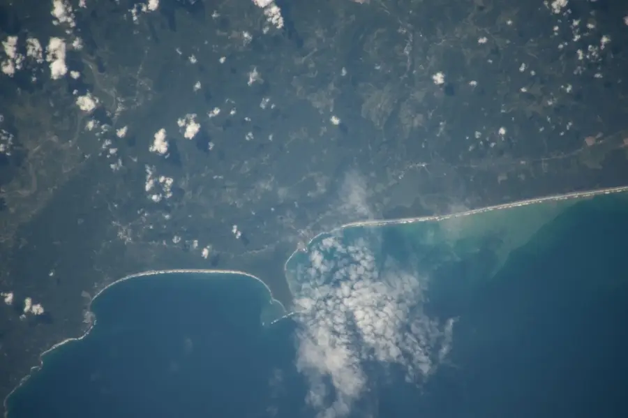
Geography
Facts
- Administrative heart of the La Mosquitia region.
- Named after the Lenca warrior Lempira in 1957.
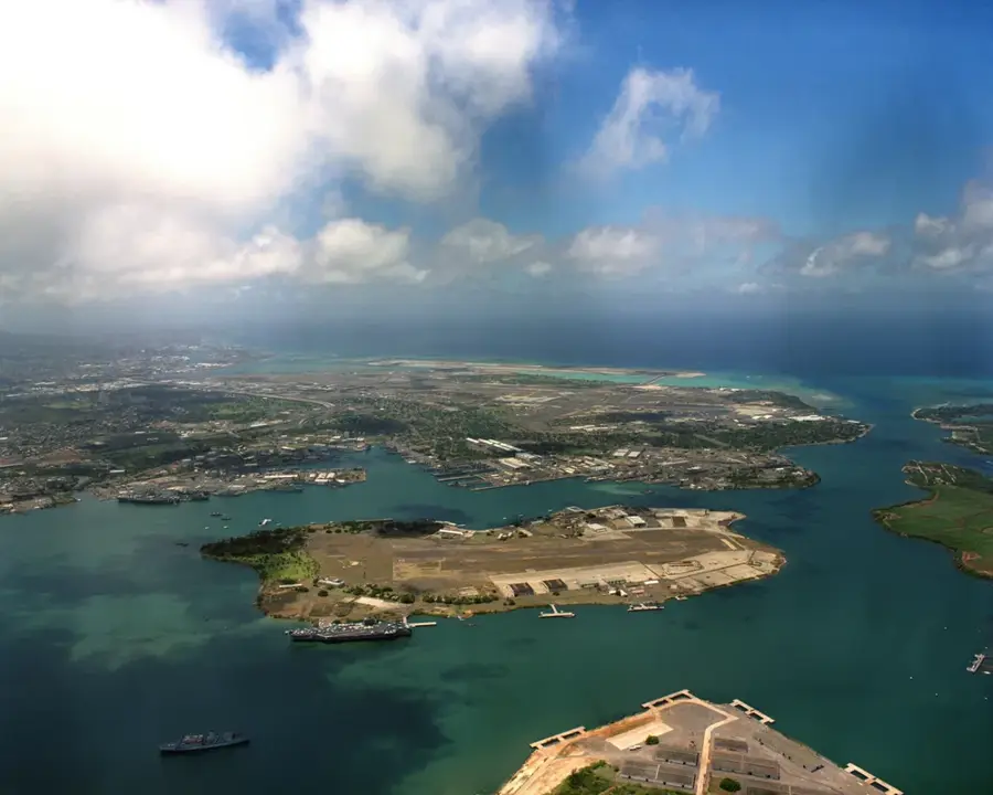
- The Caratasca Lagoon is approximately 60 km long.
- Home to the Miskito Council (MASTA) headquarters.
- Lobster diving is a major but high-risk local industry.
- Serves as a base for many international environmental NGOs.
- Lacks a terrestrial connection to the CA-5 national highway.
- The city's atmosphere is defined by its maritime and jungle surroundings.
Explore nearby
Notable places around
Route planner — Car & Motorhome
Where do you start? We build the route here, with stops and country notes along the way.
© OpenStreetMap contributors · OpenRouteService
Sights in the town Puerto Lempira (1)
Frequently asked questions
How to reach Puerto Lempira?
What is the best time to visit?
What languages are spoken?
Is the city safe for tourists?
Is there internet access?
Puerto Lempira: where is it located?
Puerto Lempira: when is the best time to visit?
Puerto Lempira: why is it worth visiting?

Nearby cities


History & landmarks

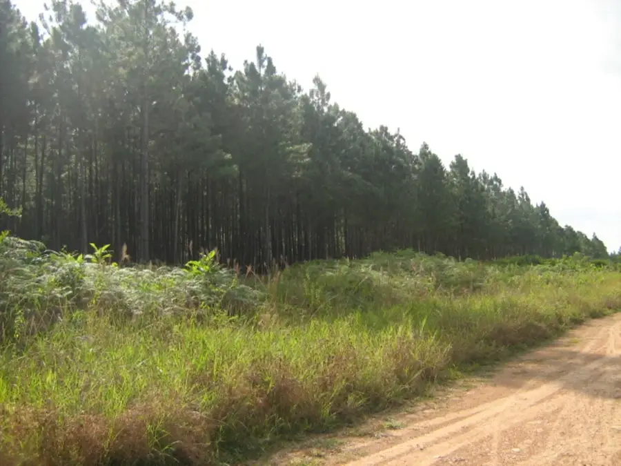
Nature

More places