Plizio Visual Lab
Tenampúa Ruins

Weather…
Water temperature…
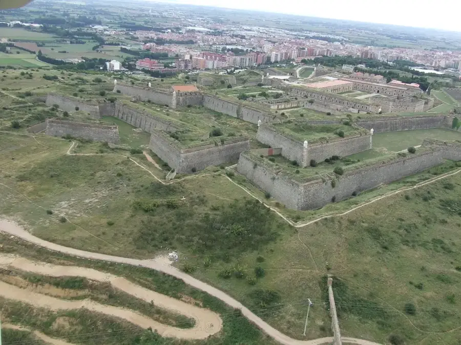
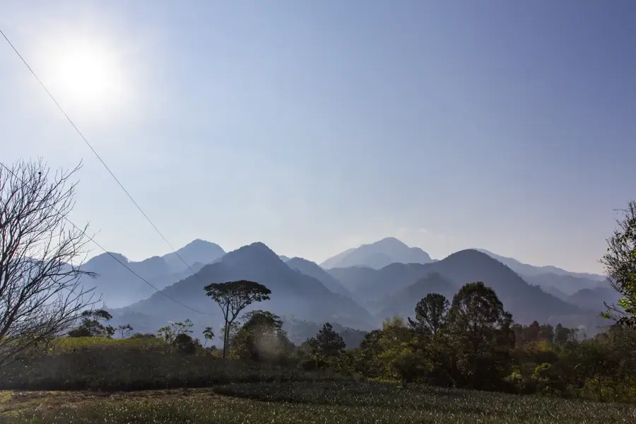
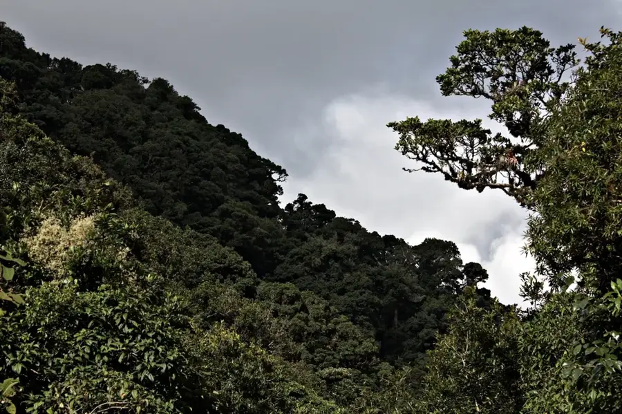
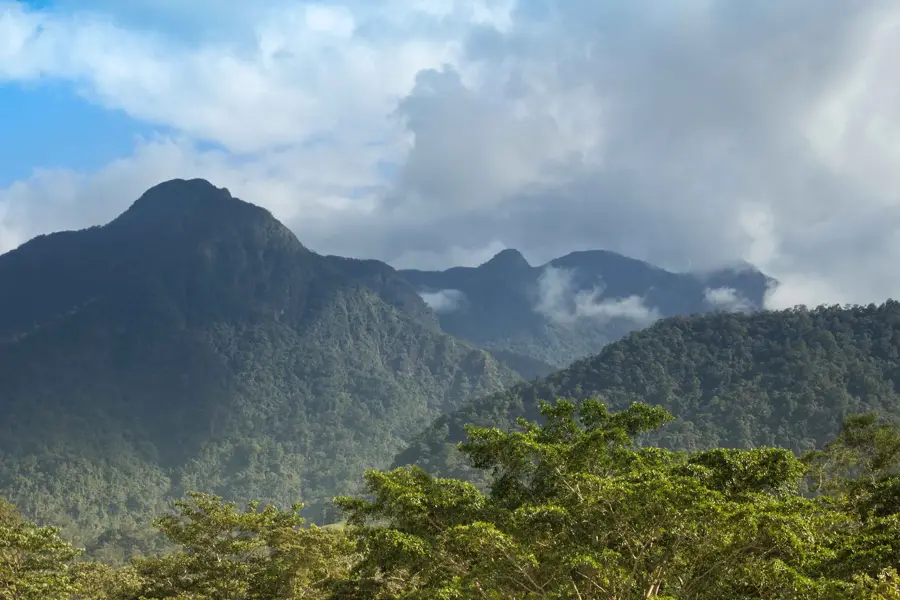
The ruins of Tenampúa are a significant archaeological site of the Lenca culture, located in the department of La Paz near the Comayagua Valley. The site is situated on a prominent plateau (mesa) at an altitude of about 800 meters, providing a strategically advantageous position with sweeping views over the surrounding region. Tenampúa was a fortified city that reached its peak during the Classic period (approx. 600-900 AD), serving as both a ceremonial and military center. Notable structures include remnants of platforms, terraces, and two ball courts, suggesting strong cultural ties to other Mesoamerican civilizations. The natural defense provided by steep cliffs was augmented by artificially constructed stone walls to protect the city from invaders. Archaeological finds such as ceramics and stone tools shed light on the daily life and religious practices of the inhabitants. Despite its historical importance, the site is less explored than Copán but provides valuable insights into indigenous history before the Spanish arrival. Reaching the plateau requires a hike, rewarding visitors with a mystical atmosphere surrounded by pine forests.
- Location: Honduras
- Nearby: Langue (5 km)
Best time to visit & climate
The most pleasant time to visit is Jan–Mar.
| Jan | Feb | Mar | Apr | May | Jun | Jul | Aug | Sep | Oct | Nov | Dec | |
|---|---|---|---|---|---|---|---|---|---|---|---|---|
| Avg °C | 20 | 21 | 23 | 25 | 24 | 23 | 22 | 23 | 22 | 21 | 20 | 20 |
| Rain mm | 27 | 20 | 20 | 39 | 139 | 183 | 120 | 140 | 188 | 158 | 67 | 46 |
📋 Practical info
Geography
Facts
- Location: On a plateau at 800 m above sea level
- Associated with the indigenous Lenca culture
- Main occupation period: approx. 600 to 900 AD
- Includes two pre-Columbian ball courts
- Protected by artificial walls over 3 meters high at vulnerable points
- The main zone covers an area of about 21 hectares
Explore nearby
Notable places around
Route planner — Car & Motorhome
Where do you start? We build the route here, with stops and country notes along the way.
© OpenStreetMap contributors · OpenRouteService
Sights nearby
Frequently asked questions
What is Tenampúa?
How is the climb?
Is there tourist infrastructure?
When should you go there?
Can the walls be seen?
Tenampúa Ruins: where is it located?
Tenampúa Ruins: when is the best time to visit?
Tenampúa Ruins: why is it worth visiting?

Nearby cities


History & landmarks


Nature
More places