Plizio Visual Lab
Punta Sal National Park
Weather…
Water temperature…
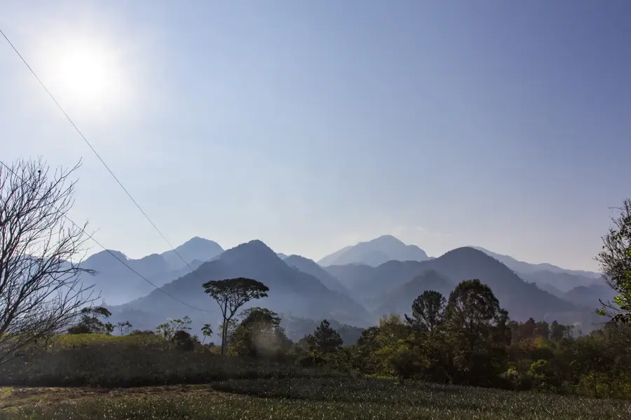
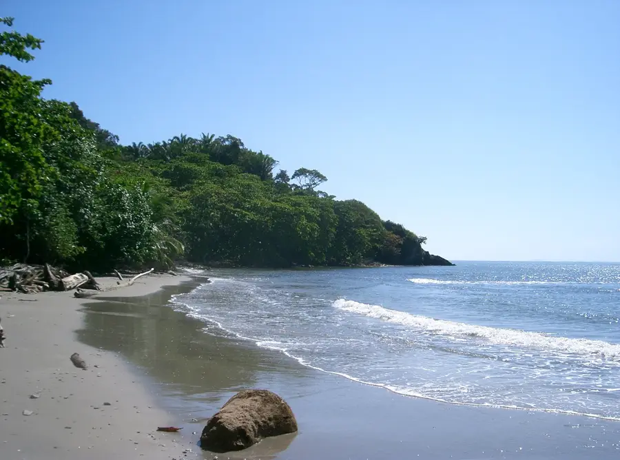
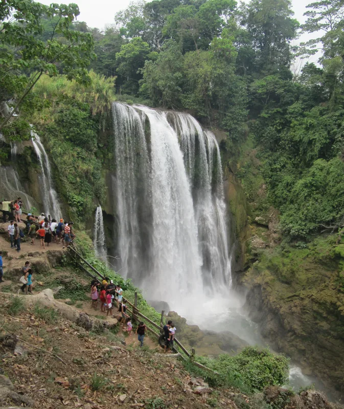
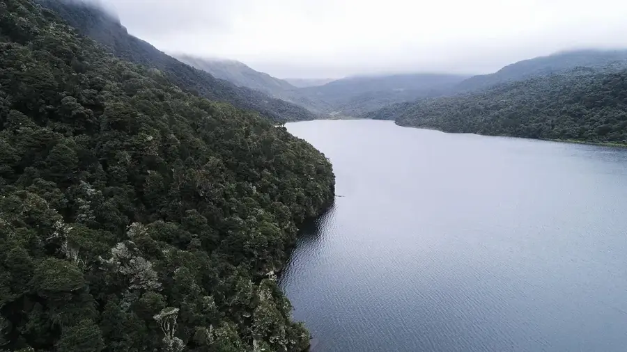
Punta Sal National Park, officially known today as Jeannette Kawas National Park, is an ecological jewel located on the Caribbean coast of Honduras near the town of Tela. Spanning 781 square kilometers, the park encompasses a striking variety of ecosystems, including tropical rainforests, mangrove swamps, coral reefs, and white-sand beaches. Established in 1994, it was later renamed to honor environmental activist Jeannette Kawas, who campaigned tirelessly for the area's protection. Geographically, it is defined by the Punta Sal peninsula, which juts dramatically into the sea, creating natural bays that were once used as hideouts by pirates. The marine biodiversity is extraordinary, featuring lively reefs that support dolphins, sea turtles, and countless species of tropical fish. On land, the park is home to howler monkeys, toucans, and rare orchids. It serves as a vital destination for sustainable ecotourism and plays a critical role in protecting the coastline from erosion and tropical storms. Its preservation remains a top priority for conservation efforts in Central America.
- Location: Honduras
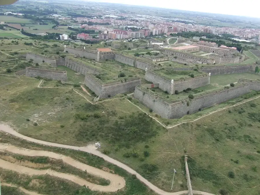
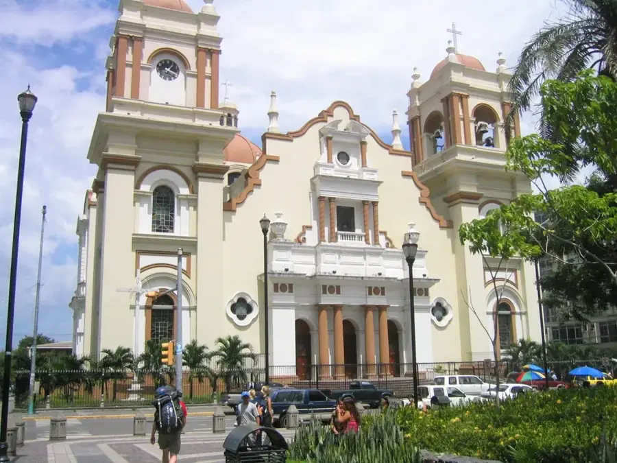
- Top sights: USCGC Walnut (WLM-252) · Estadio Excélsior
- Nearby: La Lima (4 km)
Best time to visit & climate
The most pleasant time to visit is Feb–Apr.
| Jan | Feb | Mar | Apr | May | Jun | Jul | Aug | Sep | Oct | Nov | Dec | |
|---|---|---|---|---|---|---|---|---|---|---|---|---|
| Avg °C | 24 | 25 | 26 | 27 | 28 | 28 | 28 | 28 | 28 | 27 | 26 | 25 |
| Rain mm | 147 | 106 | 78 | 48 | 107 | 180 | 173 | 163 | 179 | 222 | 226 | 156 |
📋 Practical info
Geography
Facts
- The park is divided into two primary zones: the peninsula and Los Micos Lagoon.
- Jeannette Kawas was assassinated in 1995 due to her environmental advocacy.
- There are over 35 kilometers of pristine beaches within the protected area.
- Los Micos Lagoon serves as a habitat for more than 40 different fish species.
- The park contains four of the seven mangrove species found worldwide.
- Hiking trails lead through dense jungle to secluded rocky coves and inlets.
Explore nearby
Notable places around
Route planner — Car & Motorhome
Where do you start? We build the route here, with stops and country notes along the way.
© OpenStreetMap contributors · OpenRouteService
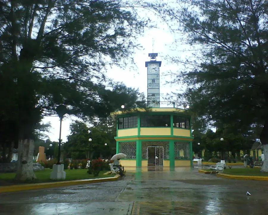
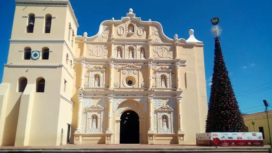
Sights in the town Punta Sal National Park (2)
Sights nearby
Frequently asked questions
How do you reach Punta Sal?
Can you go snorkeling in the park?
Are there entry fees?
Are there toilets in the park?
What should you bring?
Punta Sal National Park: where is it located?
Punta Sal National Park: what is there to see?
Punta Sal National Park: when is the best time to visit?
Punta Sal National Park: why is it worth visiting?

Nearby cities


History & landmarks


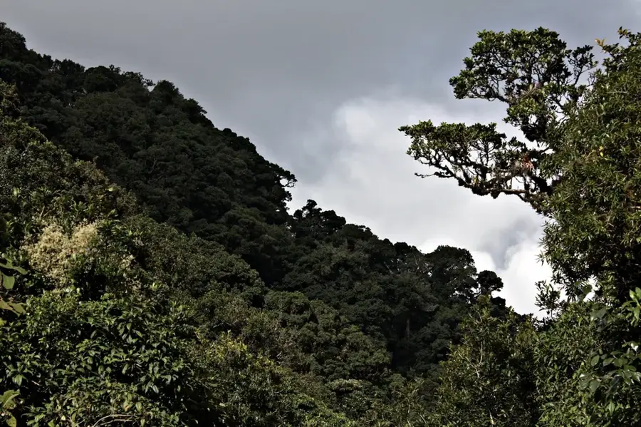
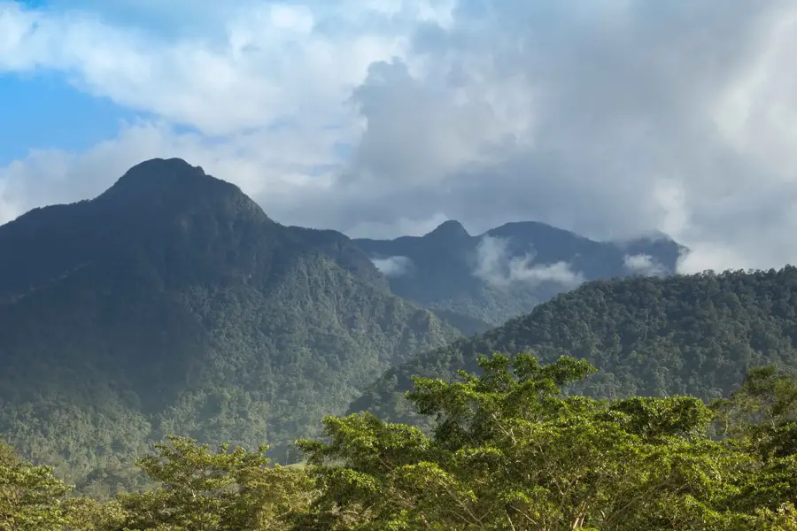
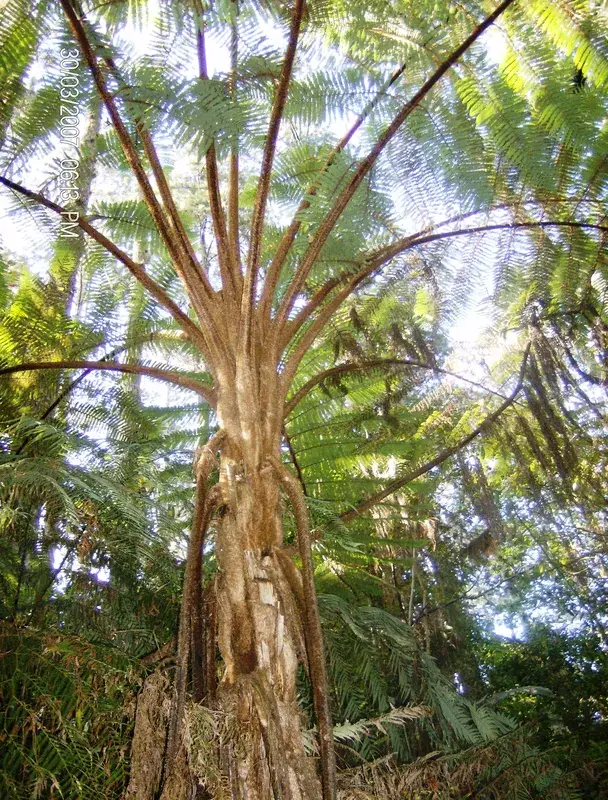
Nature
More places