Plizio Visual Lab
Celaque National Park
Weather…
Water temperature…
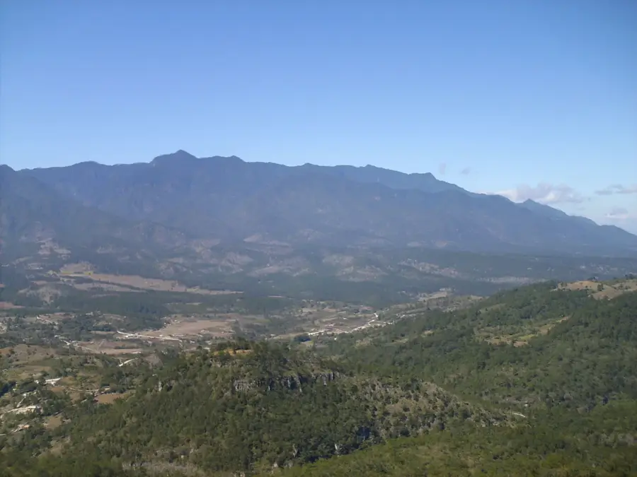
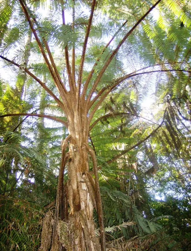
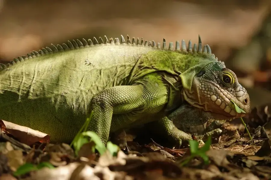
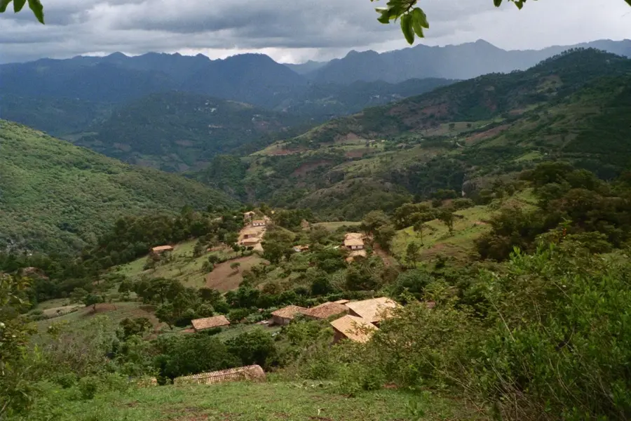
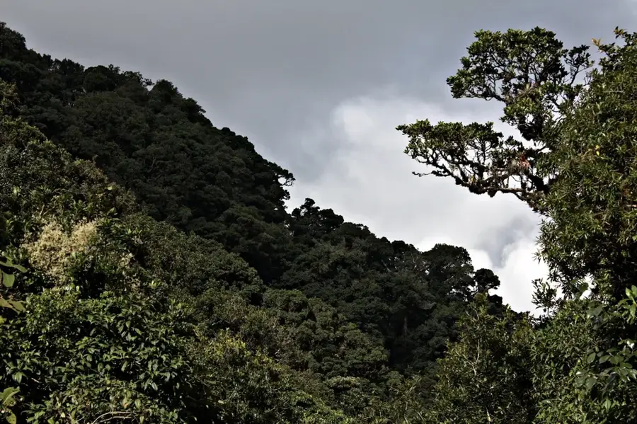
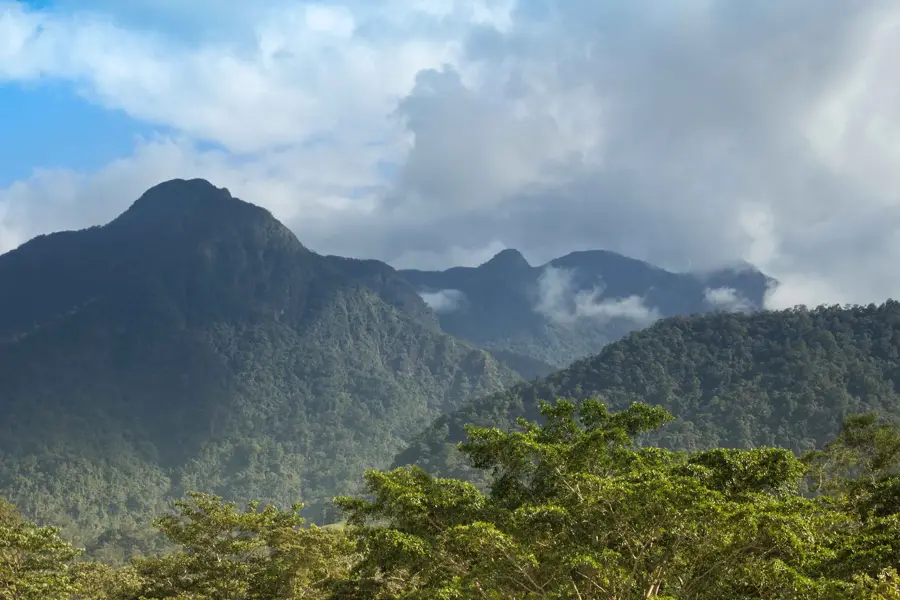
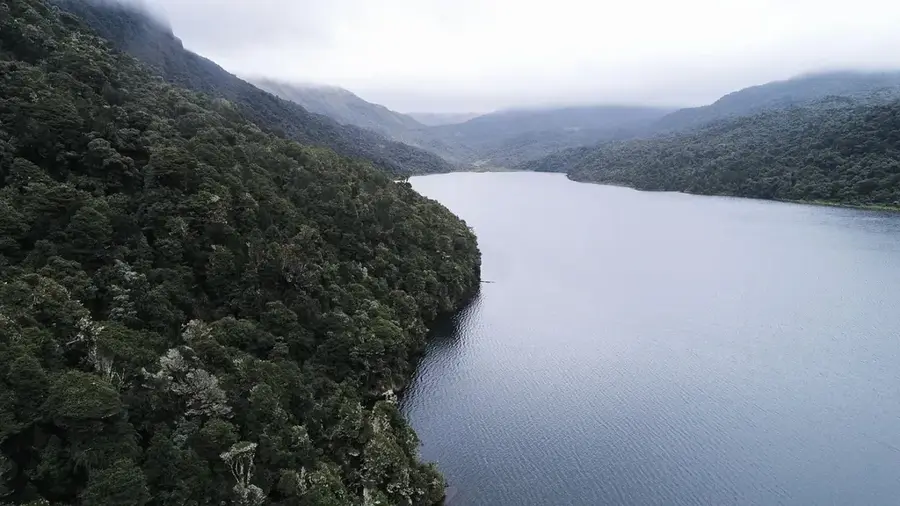
Celaque National Park is home to the highest point in Honduras, the Cerro Las Minas peak, which reaches an elevation of 2,849 meters. Located in the western part of the country near the town of Gracias, the park spans 266 square kilometers. The name 'Celaque' originates from the Lenca language and means 'box of water,' referring to the numerous rivers and streams that originate within the park. The landscape is characterized by primary cloud forest, hosting an incredible biodiversity that includes pumas, jaguars, and the colorful Resplendent Quetzal. For mountain climbers, the trek to the summit provides a demanding challenge through steep terrain and dense vegetation. The climate is significantly cooler than the rest of the country due to the high altitude, with frequent rainfall and persistent mist. The park stands as a central symbol of conservation in Honduras and an important heritage site of the Lenca culture.
- Location: Honduras
- Nearby: La Campa (5 km)
Best time to visit & climate
The most pleasant time to visit is Jan–Mar.
| Jan | Feb | Mar | Apr | May | Jun | Jul | Aug | Sep | Oct | Nov | Dec | |
|---|---|---|---|---|---|---|---|---|---|---|---|---|
| Avg °C | 19 | 21 | 23 | 24 | 24 | 23 | 22 | 23 | 22 | 21 | 20 | 19 |
| Rain mm | 26 | 20 | 19 | 37 | 140 | 193 | 155 | 189 | 218 | 160 | 63 | 36 |
📋 Practical info
Geography
Facts
- Highest point in Honduras (2,849 m)
- Area of approximately 266 square kilometers
- Name means 'box of water' in Lenca
- Established in 1987
- Key habitat for the Resplendent Quetzal
- Source of numerous rivers and streams
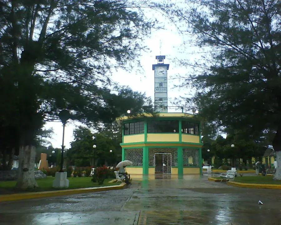
Explore nearby
Notable places around
Route planner — Car & Motorhome
Where do you start? We build the route here, with stops and country notes along the way.
© OpenStreetMap contributors · OpenRouteService
Sights nearby
Frequently asked questions
What does 'Celaque' mean?
What is the highest point in the park?
Is it possible to hike to the summit in one day?
From which city do you start?
Is there drinking water on the trails?
Celaque National Park: where is it located?
Celaque National Park: when is the best time to visit?
Celaque National Park: why is it worth visiting?

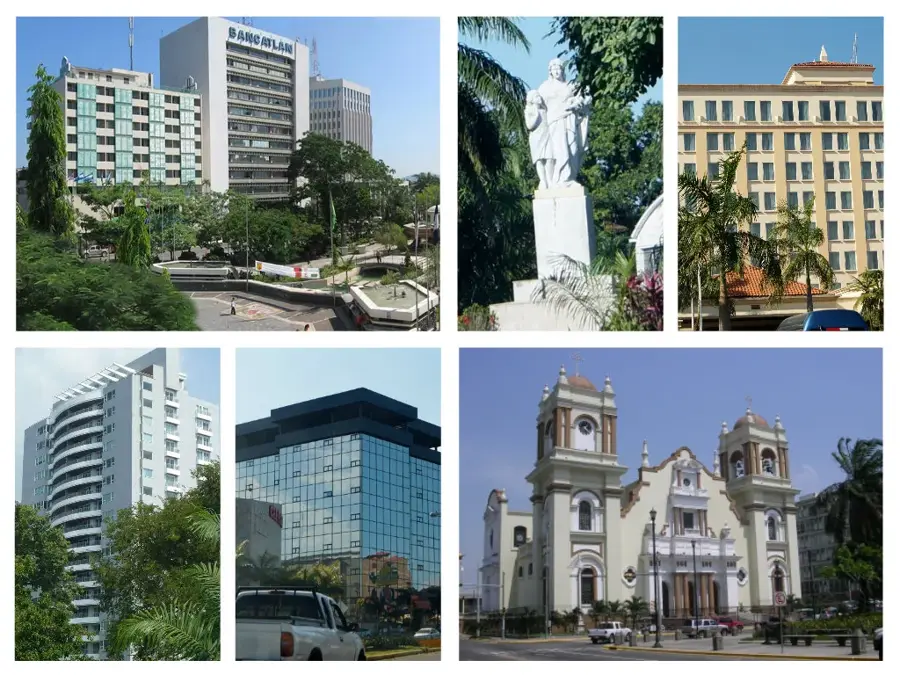
Nearby cities

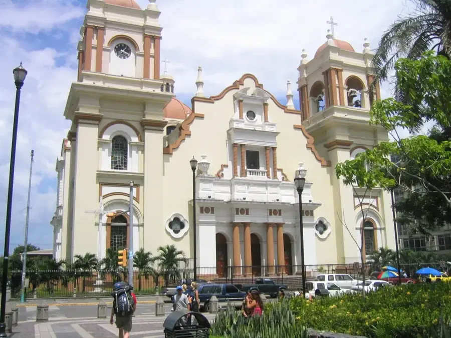

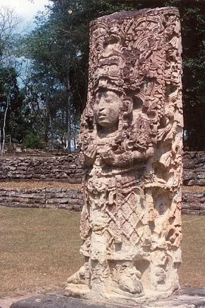
History & landmarks
Nature
More places