Plizio Visual Lab
Celaque Mountain

Weather…
Water temperature…
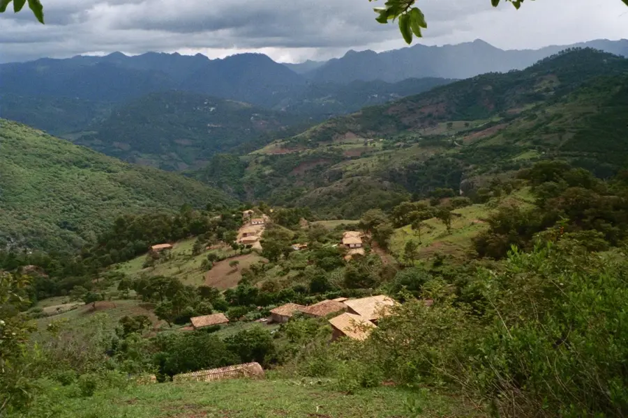
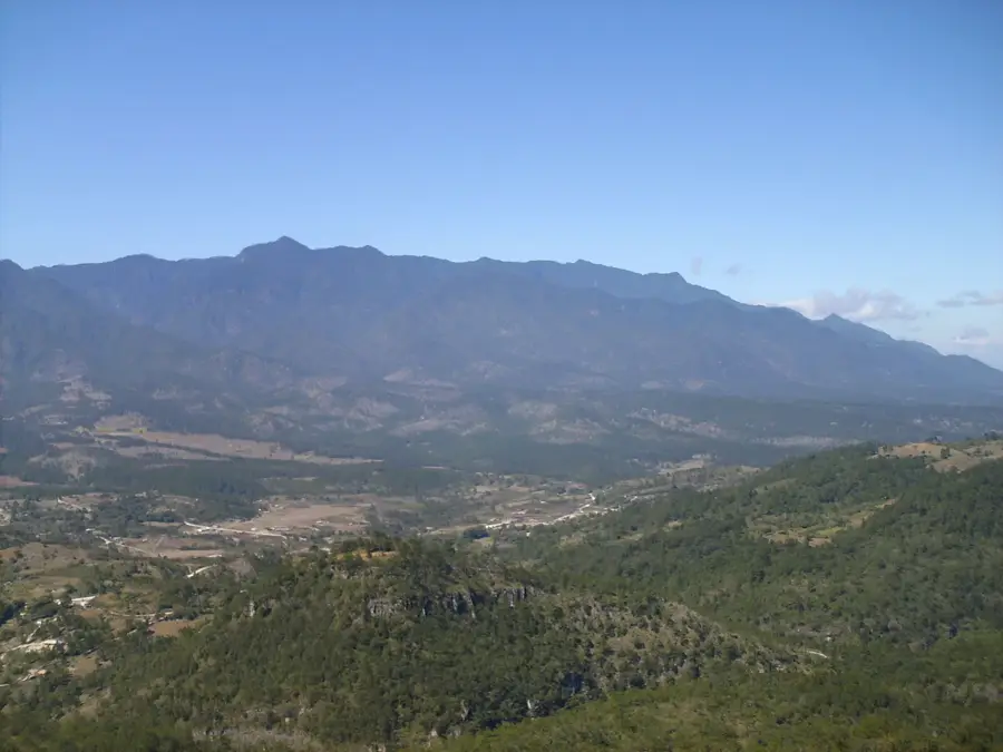
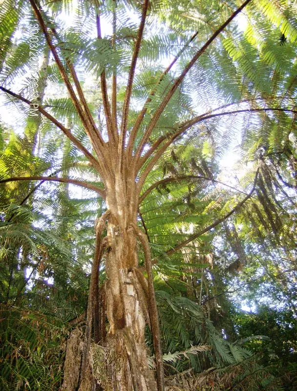
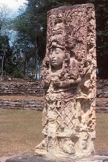
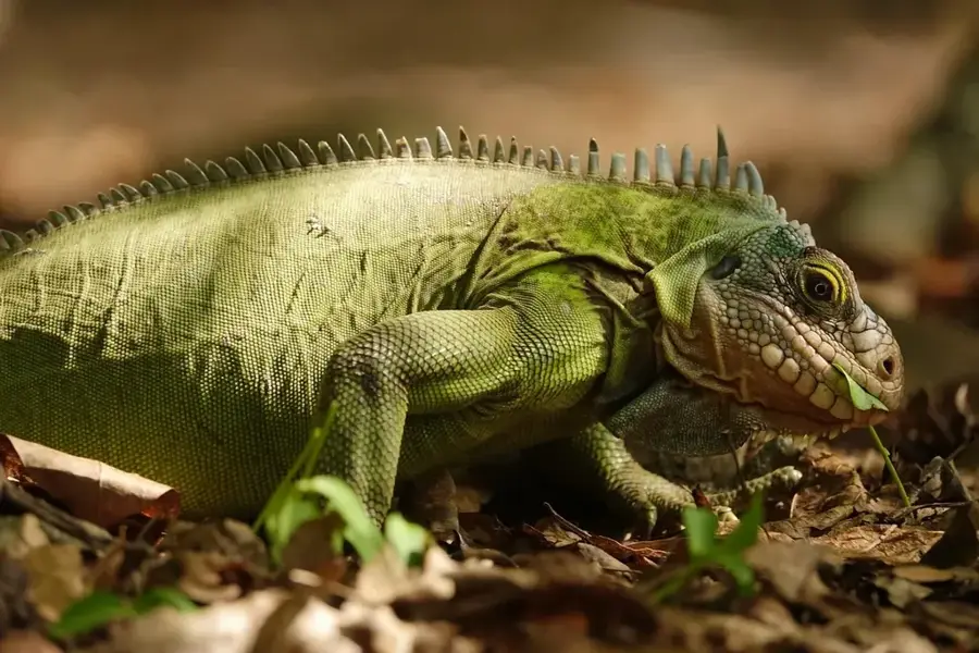
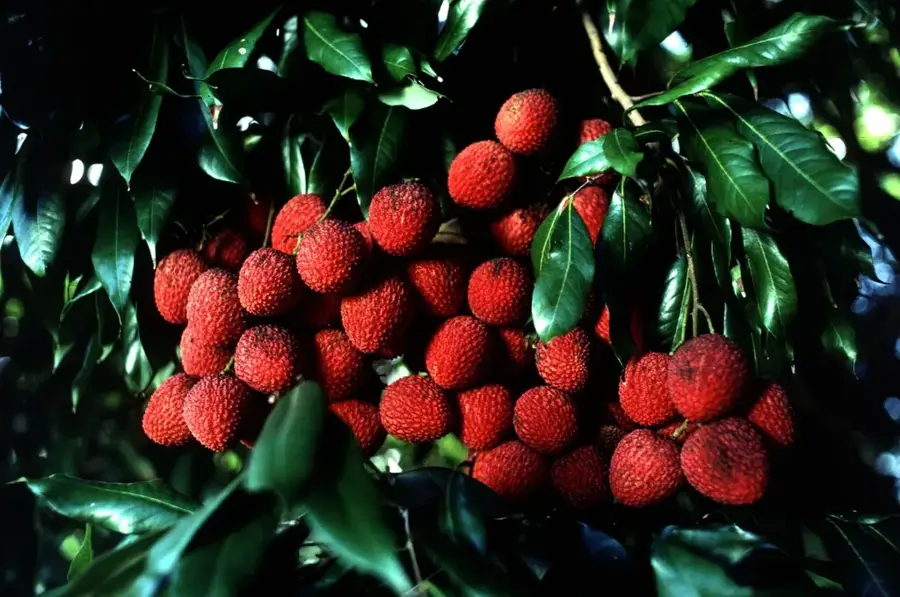
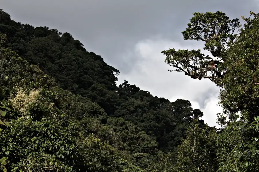
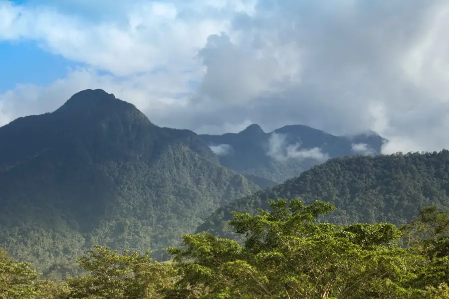
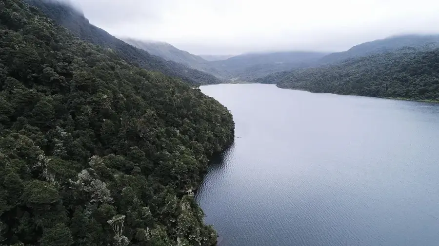
The Celaque massif, officially known as the Montana de Celaque National Park, is one of the most significant mountain systems in Honduras. Located in the western part of the country, it spans the departments of Lempira, Ocotepeque, and Copán. The word 'Celaque' originates from the Lenca language and means 'box of water,' highlighting the mountain's hydrological importance, as nine rivers originate here to supply the surrounding valleys. The park contains the country's highest peak, Cerro Las Minas, and is famous for its extensive, pristine cloud forests at elevations above 2,000 meters. These forests are characterized by extremely high humidity and a dense growth of mosses, ferns, and epiphytes. The region holds a deep cultural connection to the Lenca people, who have regarded the mountains as a sacred site for centuries. Today, the park serves as a center for ecological research and sustainable tourism, with strictly managed trails offering visitors insights into the complex flora and fauna, including pumas and the endangered resplendent quetzal.
- Location: Honduras
- Nearby: La Campa (6 km)
Best time to visit & climate
The most pleasant time to visit is Jan–Mar.
| Jan | Feb | Mar | Apr | May | Jun | Jul | Aug | Sep | Oct | Nov | Dec | |
|---|---|---|---|---|---|---|---|---|---|---|---|---|
| Avg °C | 19 | 21 | 23 | 24 | 24 | 23 | 22 | 23 | 22 | 21 | 20 | 19 |
| Rain mm | 26 | 20 | 19 | 37 | 140 | 193 | 155 | 189 | 218 | 160 | 63 | 36 |
📋 Practical info
Geography
Facts
- The park was officially established as a national park on August 5, 1987.
- It covers a total land area of approximately 266 square kilometers.
- Celaque is home to one of the highest waterfalls in the country.
- The highest elevation within the park reaches 2,849 meters.
- The cloud forest here is recognized as one of the best-preserved globally.
- Several endemic amphibian species are found exclusively in this massif.
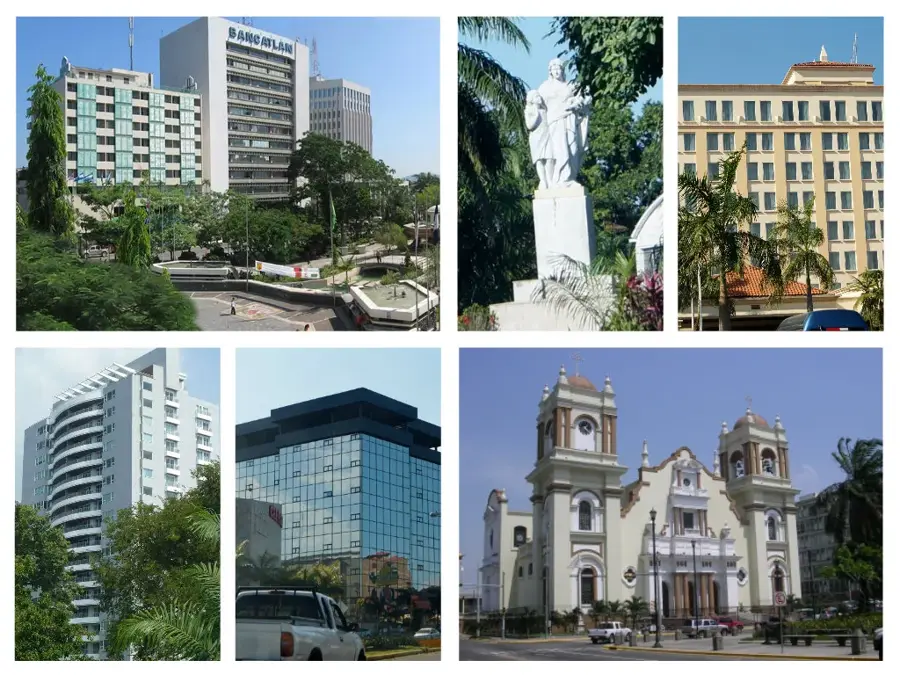
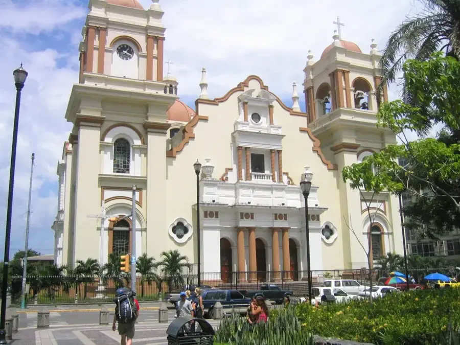
Explore nearby
Notable places around
Route planner — Car & Motorhome
Where do you start? We build the route here, with stops and country notes along the way.
© OpenStreetMap contributors · OpenRouteService
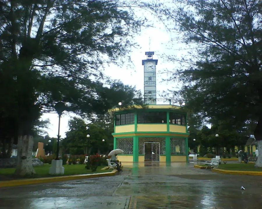
Sights in the town Celaque Mountain (1)
Sights nearby
Frequently asked questions
What does 'Celaque' mean?
What clothing should I wear for the cloud forest?
Are there campsites in the park?
Can you see quetzals in Celaque?
How strenuous are the hiking trails?
Celaque Mountain: where is it located?
Celaque Mountain: when is the best time to visit?
Celaque Mountain: why is it worth visiting?

Nearby cities


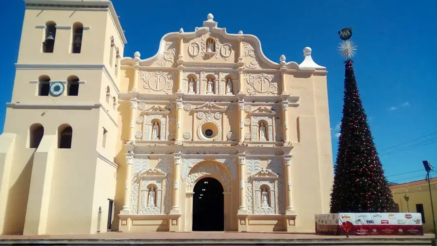
History & landmarks
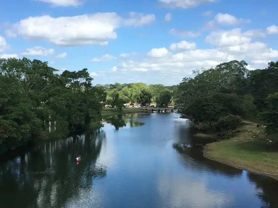
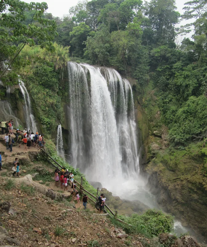
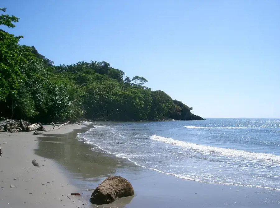
Nature
More places