Plizio Visual Lab
Cerro Las Minas
Weather…
Water temperature…
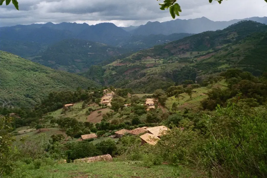
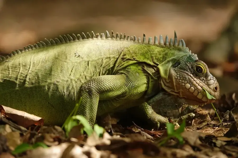
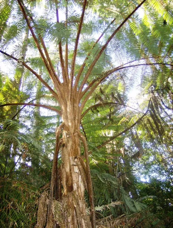
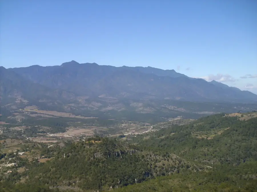
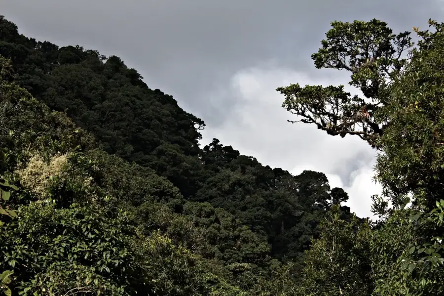
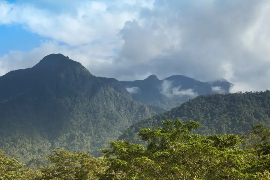
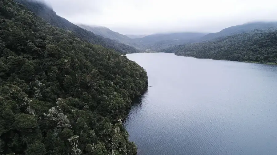
Cerro Las Minas, also known as Pico Celaque, is the highest peak in Honduras, reaching an elevation of 2,849 meters (9,347 feet) above sea level. It is located in the Lempira Department in the western part of the country and serves as the primary feature of the Celaque National Park, established in 1987. The mountain massif is characterized by its rugged terrain and steep escarpments, with the upper reaches dominated by a lush cloud forest ecosystem. This environment provides a critical habitat for diverse flora and fauna, including endangered species like the resplendent quetzal and various orchid varieties. Geologically, the peak is part of the central cordillera of Central America, shaped by tectonic uplift and volcanic history. The mountain is an essential hydrological resource, as it contains the headwaters of numerous rivers that provide water to surrounding municipalities, such as the town of Gracias. Although the ascent is physically demanding due to the dense vegetation and steep slopes, it remains a significant destination for scientific research and eco-tourism in the region.
- Location: Honduras
- Nearby: La Entrada (6 km)
Best time to visit & climate
The most pleasant time to visit is Jan–Mar.
| Jan | Feb | Mar | Apr | May | Jun | Jul | Aug | Sep | Oct | Nov | Dec | |
|---|---|---|---|---|---|---|---|---|---|---|---|---|
| Avg °C | 19 | 21 | 23 | 24 | 24 | 23 | 22 | 23 | 22 | 21 | 20 | 19 |
| Rain mm | 26 | 20 | 19 | 37 | 140 | 193 | 155 | 189 | 218 | 160 | 63 | 36 |
📋 Practical info
Geography
Facts
- At 2,849 meters, it is the highest peak in the country of Honduras.
- The mountain is located within Celaque National Park, established in 1987.
- The name 'Celaque' translates to 'box of water' in the indigenous Lenca language.
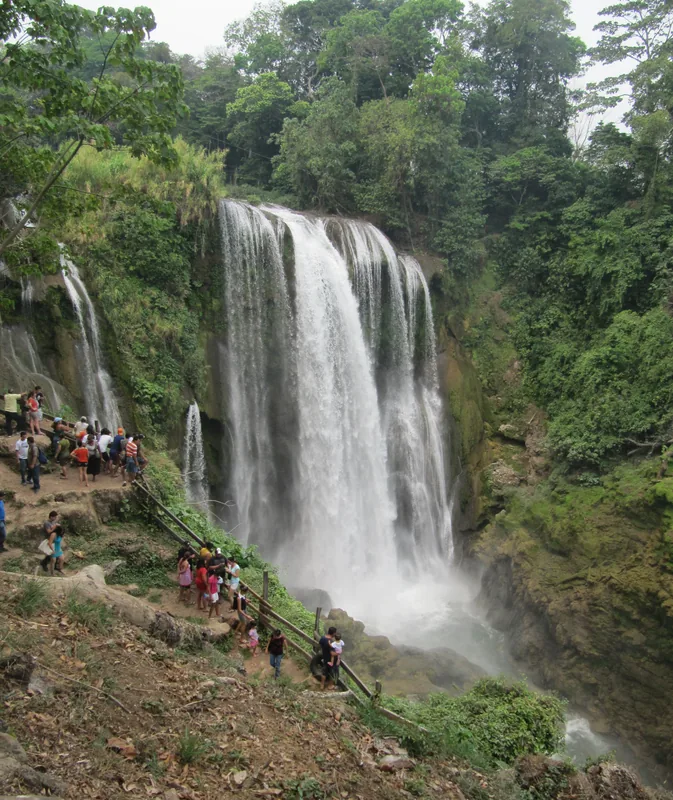
- More than 11 different rivers originate from the slopes of this massif.
- The area contains one of the largest primary cloud forests in Central America.
- The hiking trail to the summit passes through six distinct ecological zones.
Explore nearby
Notable places around
Route planner — Car & Motorhome
Where do you start? We build the route here, with stops and country notes along the way.
© OpenStreetMap contributors · OpenRouteService
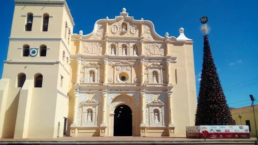
Sights in the town Cerro Las Minas (1)
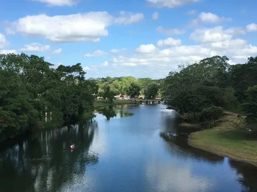
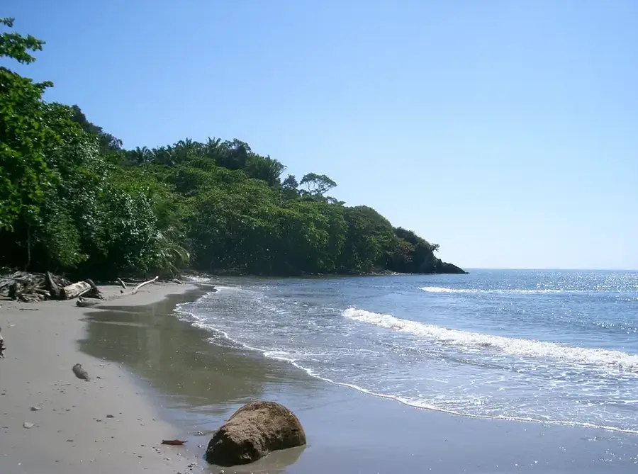
Sights nearby
Frequently asked questions
How high is Cerro Las Minas?
How long does the climb take?
Do I need a guide for Cerro Las Minas?
Is there drinking water on the route?
What should you bring for the cold?
Cerro Las Minas: where is it located?
Cerro Las Minas: when is the best time to visit?
Cerro Las Minas: why is it worth visiting?

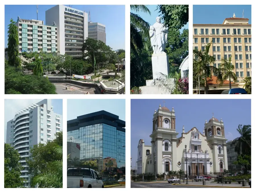
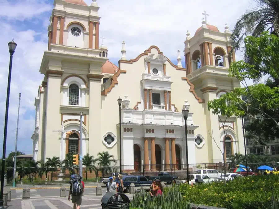
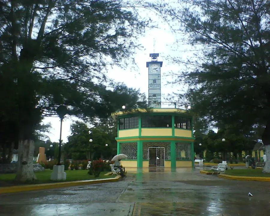
Nearby cities


History & landmarks
Nature
More places