Plizio Visual Lab
Joyabaj
ℹ️Practical info — Joyabaj
▾
🌤 Weather — 5 days
📍 Nearby
Sights nearby
💡 Tips
- The town is famous for the 'Palo Volador' ritual during its mid-August festival; book accommodation well in advance if visiting then.
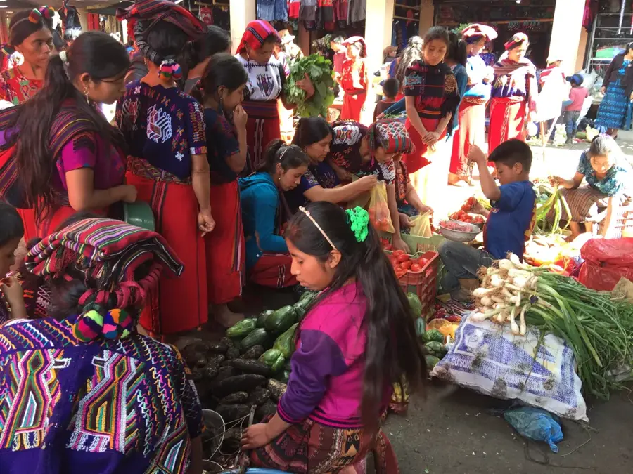
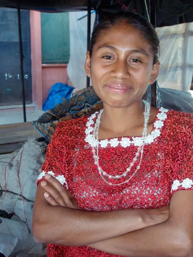
- The Sunday market is a massive, colorful affair that draws people from surrounding Quiché villages.
- Roads to Joyabaj can be rough; a sturdy vehicle or patience on the "chicken bus" is necessary.
- Respect the syncretic religious practices occurring at the local church and shrines.
- It can get surprisingly hot during the day, so sun protection is a must for the open-air market.
🍽 Food
Squash leaves stuffed with corn masa, a traditional Quiché dish found at local eateries and market stalls.
A hearty beef soup, a staple lunch option served at the market food stalls.
A sweet egg bread that pairs perfectly with morning coffee from the local bakeries.
🛍 Shopping · 🧘 Quiet spots
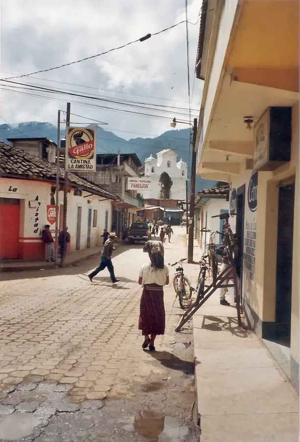
An incredible open-air market for buying textiles, pottery, and traditional Maya clothing.
Local incense (copal) and ceremonial candles are sold by vendors near the church.
The town cemetery is surprisingly colorful and peaceful, offering views of the surrounding hills.
Take a walk along the rural dirt roads for sweeping views of the agricultural valleys.
Water temperature…
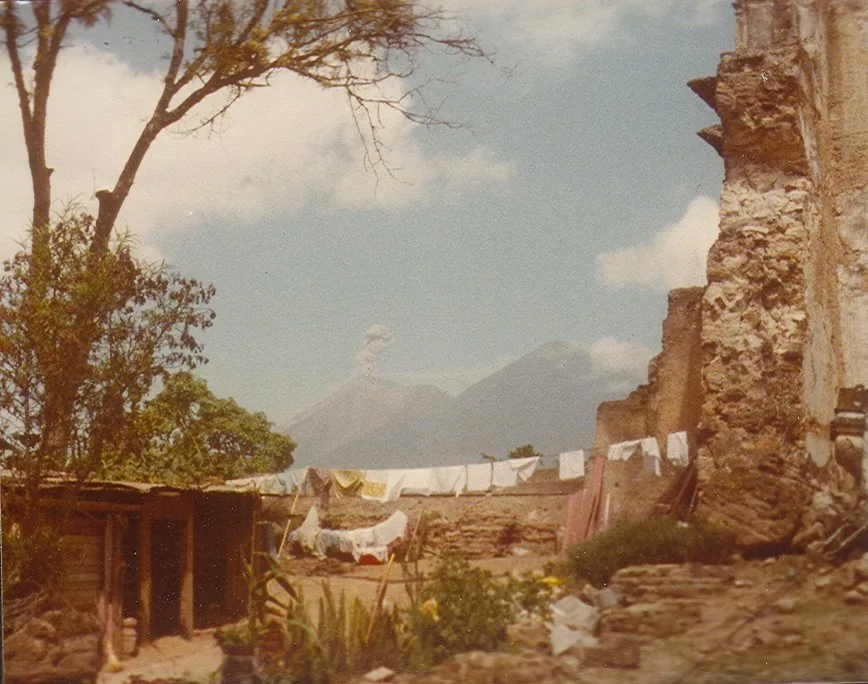
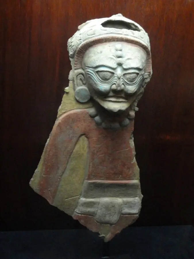
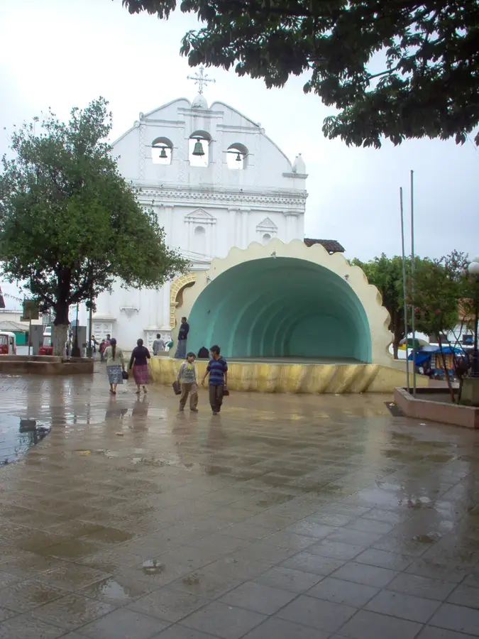
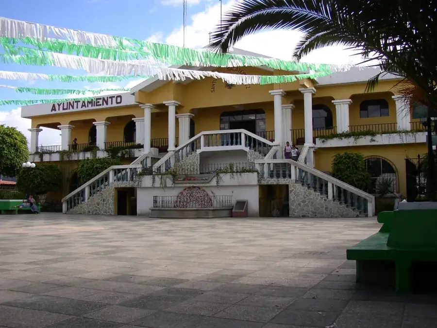
Joyabaj is located in the Quiché Department and is a historic town deeply rooted in K'iche' Maya territory. It sits at an elevation of approximately 1,433 meters, situated in a transitional zone between the highlands and the subtropical lowlands. A defining event in its history was the catastrophic 1976 earthquake, which leveled nearly the entire town, leading to a decades-long reconstruction process. Joyabaj is internationally famous for preserving the 'Palo Volador' (Flying Pole) ritual, an ancient Maya dance where performers descend from a tall mast on ropes. The local economy is mainly driven by agriculture, focusing on the production of maize, beans, and livestock. Culturally, the town is a lively center for indigenous traditions, reflected in its bustling markets and traditional textiles. The surrounding geography features deep ravines and forested hills, contributing to a unique microclimate and landscape. Despite past destruction, Joyabaj remains a crucial ceremonial and social hub for the K'iche' communities in the central Quiché region.
- Location: Guatemala
- Nearby: Uspantán (6 km)
- Population: ~13.164 (2019)
Best time to visit & climate
The most pleasant time to visit is Feb–Apr.
| Jan | Feb | Mar | Apr | May | Jun | Jul | Aug | Sep | Oct | Nov | Dec | |
|---|---|---|---|---|---|---|---|---|---|---|---|---|
| Avg °C | 13 | 14 | 16 | 17 | 17 | 16 | 16 | 16 | 16 | 16 | 14 | 14 |
| Rain mm | 6 | 7 | 22 | 63 | 217 | 315 | 226 | 289 | 353 | 291 | 58 | 10 |
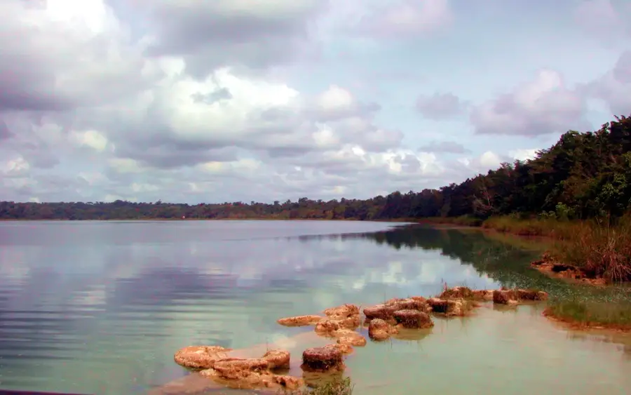
Geography
Facts
- The elevation is 1,433 meters above sea level.
- Famous for the 'Palo Volador' pre-Hispanic ritual.
- Nearly completely destroyed in the 1976 earthquake.
- Located in the central part of the Quiché Department.
- Maize and beans are the staple crops of the local economy.
- The town serves as a key ceremonial site for the K'iche' Maya.
Explore nearby
Notable places around
Route planner — Car & Motorhome
Where do you start? We build the route here, with stops and country notes along the way.
© OpenStreetMap contributors · OpenRouteService
Frequently asked questions
What is the 'Palo Volador' in Joyabaj?
When is the main festival in Joyabaj?
Which Maya language is spoken here?
Is Joyabaj easy to reach?
What is there to see architecturally?
Joyabaj: where is it located?
Joyabaj: when is the best time to visit?
Joyabaj: why is it worth visiting?

Nearby cities
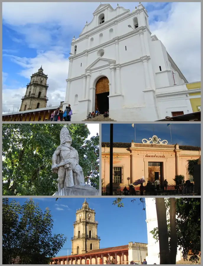
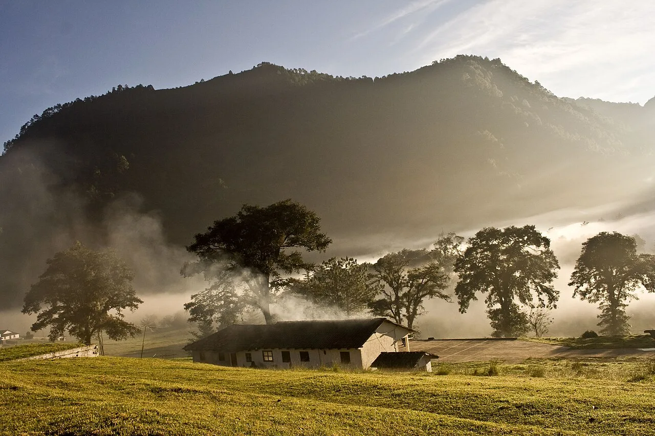
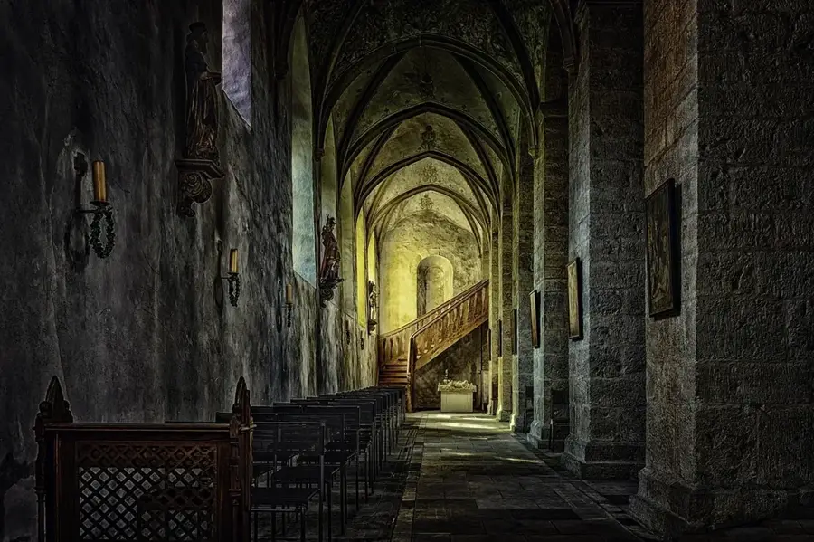
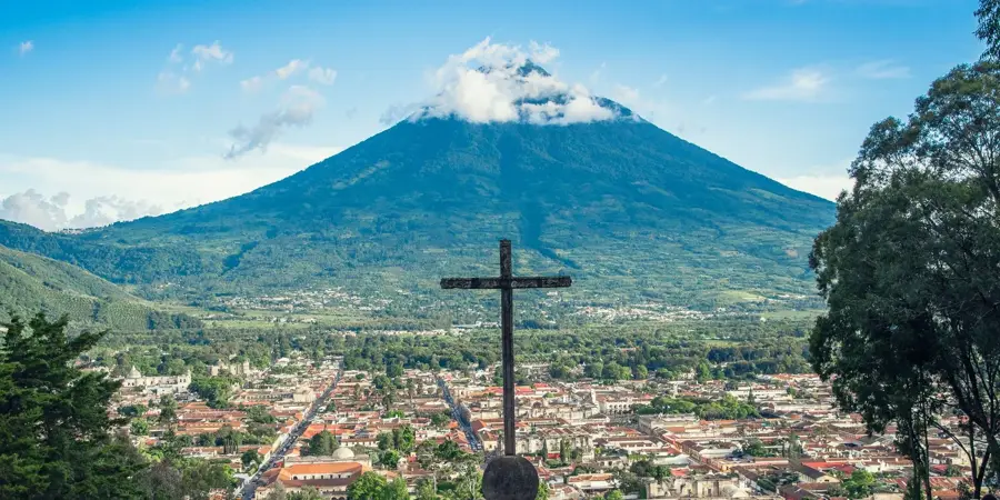
History & landmarks

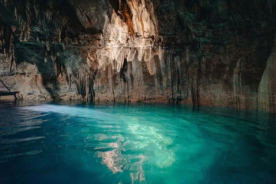
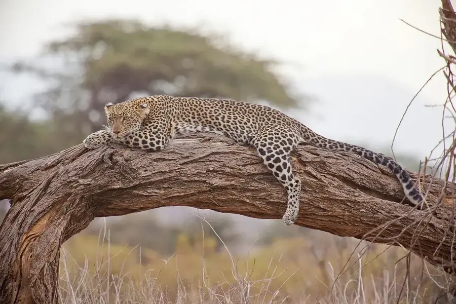
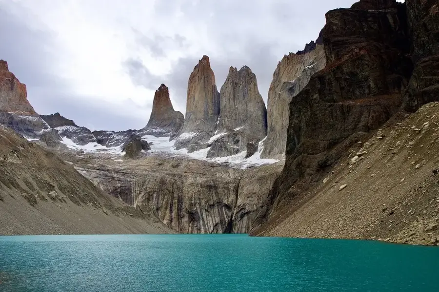
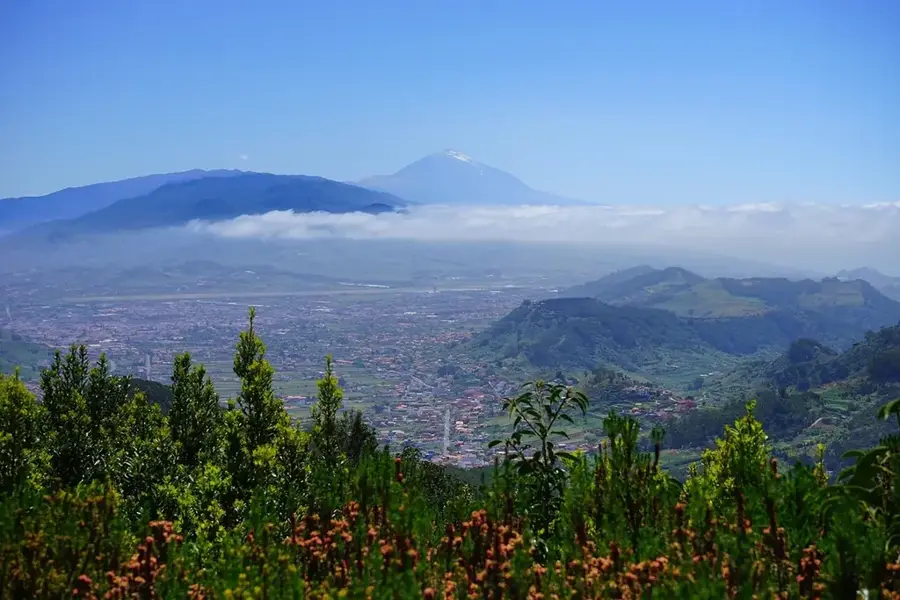
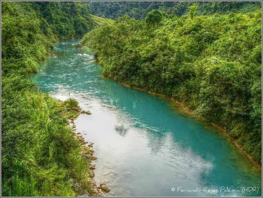
Nature
More places