Plizio Visual Lab
Relief Map of Guatemala

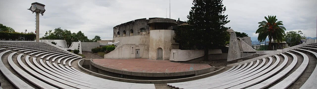
The Relief Map of Guatemala is an extraordinary monument of engineering and geography located in the Minerva Park of Guatemala City. It was designed in 1905 by the Guatemalan engineer Francisco Vela, with the collaboration of civil engineer Claudio Urrutia. The map covers an area of approximately 1,800 square meters and depicts the entire country at a scale of 1:10,000 horizontally and 1:2,000 vertically. This vertical exaggeration allows visitors to appreciate the dramatic elevation changes of Guatemala's volcanoes and mountain ranges. The entire structure was built using brick, stone, and cement, and it features a hydraulic system that can fill the country's rivers and lakes with actual water. The monument was completed in just 18 months and continues to be a vital educational tool for students. Visitors can view the map from two observation towers that provide a first-rate overhead perspective of the nation's diverse topographical landscape.
- Location: Guatemala
- Top sights: San José Castle (Guatemala City) · Carrera Theater (Guatemala) · National Palace (Guatemala)
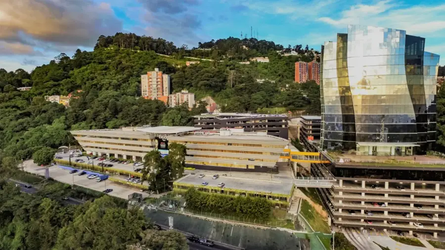
- Nearby: Santa Catarina Pinula (5 km)
Best time to visit & climate
The most pleasant time to visit is Jan–Mar.
| Jan | Feb | Mar | Apr | May | Jun | Jul | Aug | Sep | Oct | Nov | Dec | |
|---|---|---|---|---|---|---|---|---|---|---|---|---|
| Avg °C | 19 | 21 | 22 | 23 | 23 | 22 | 21 | 21 | 21 | 20 | 19 | 19 |
| Rain mm | 5 | 7 | 12 | 41 | 163 | 225 | 172 | 223 | 243 | 191 | 43 | 8 |
📋 Practical info
Geography
Facts
- Inaugurated on October 29, 1905, in the Minerva Park.
- Designed and built by engineer Francisco Vela in only 18 months.
- Horizontal scale is 1:10,000; vertical scale is 1:2,000.
- The map covers an area of roughly 1,800 square meters.
- Features a working hydraulic system for rivers and lakes.
- Two observation towers provide a complete aerial view of the map.
Explore nearby
Notable places around
Route planner — Car & Motorhome
Where do you start? We build the route here, with stops and country notes along the way.
© OpenStreetMap contributors · OpenRouteService
Sights in the town Relief Map of Guatemala (3)
Sights nearby
Frequently asked questions
What is the Relief Map?
Where is it located?
How can you best see the map?
How long does a visit take?
Are there restrooms there?
Relief Map of Guatemala: where is it located?
Relief Map of Guatemala: what is there to see?
Relief Map of Guatemala: when is the best time to visit?
Relief Map of Guatemala: why is it worth visiting?

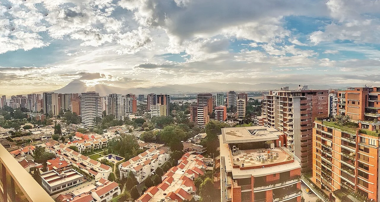
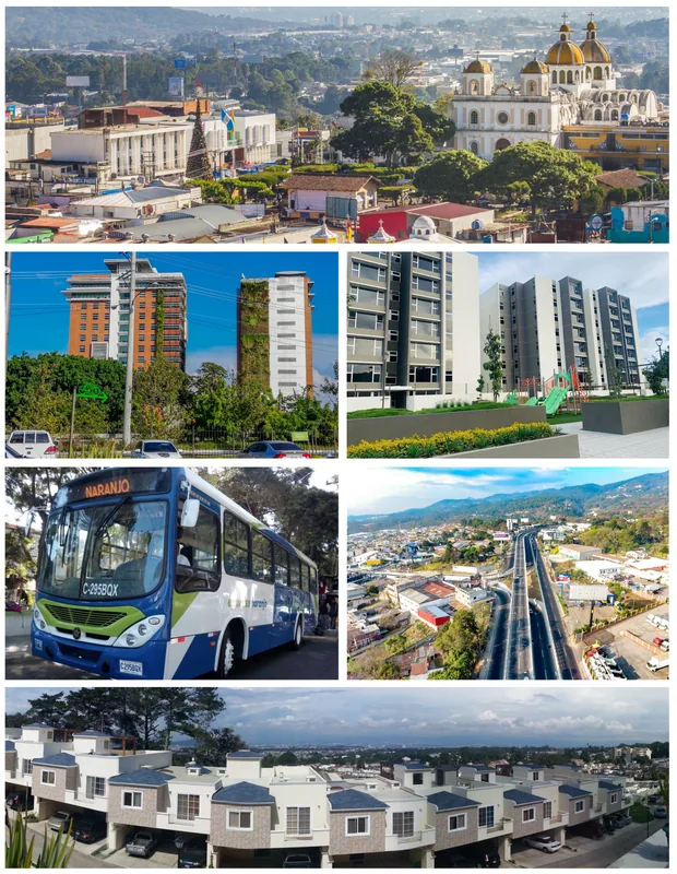
Nearby cities
History & landmarks
More places