Plizio Visual Lab
Central Highlands
Weather…
Water temperature…
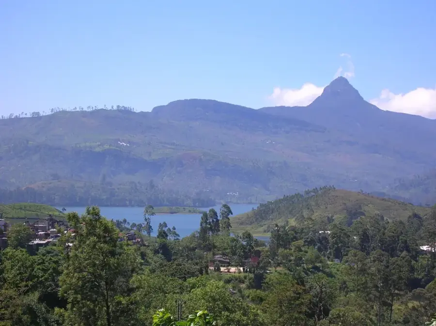
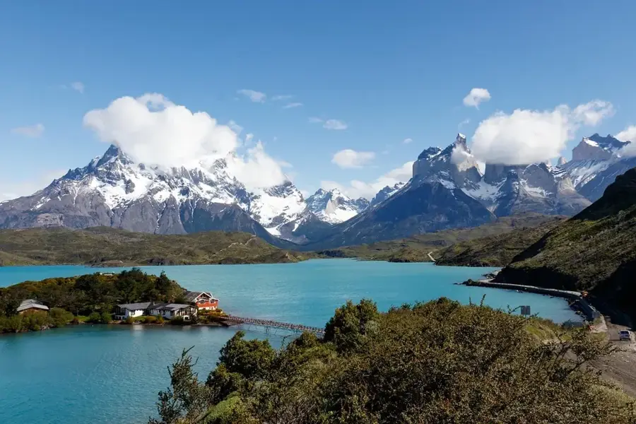
The Central Highlands of Guatemala, also known as the Altiplano, represent a significant geographic and cultural region characterized by a series of massive volcanic ranges and fertile valleys. Stretching across the mid-section of the country, this area has an average elevation between 1500 and 2500 meters, which contributes to its temperate eternal spring climate. Historically, the region served as the heartland of various Maya civilizations and later became a focal point of Spanish colonial administration, with the former capital Antigua Guatemala situated within its borders. The landscape is dominated by both active and dormant volcanoes, such as Acatenango and Fuego, which have shaped the soil composition and local agricultural practices for millennia. Today, the Central Highlands remain the most densely populated part of Guatemala, hosting the modern capital city and serving as a vital center for coffee production and indigenous cultural heritage preservation.
- Location: Guatemala
- Nearby: Cubulco (7 km)
Best time to visit & climate
The most pleasant time to visit is Feb–Apr.
| Jan | Feb | Mar | Apr | May | Jun | Jul | Aug | Sep | Oct | Nov | Dec | |
|---|---|---|---|---|---|---|---|---|---|---|---|---|
| Avg °C | 16 | 18 | 19 | 21 | 21 | 20 | 19 | 19 | 19 | 18 | 17 | 16 |
| Rain mm | 13 | 11 | 18 | 43 | 154 | 225 | 165 | 218 | 256 | 190 | 48 | 16 |
📋 Practical info
Geography
Facts
- The region covers an area of approximately 15,000 square kilometers.
- Average annual temperatures range between 15 and 22 degrees Celsius.
- There are more than 10 major volcanic cones located within this area.
- Antigua Guatemala served as the colonial capital from 1543 until 1773.
- Volcanic ash makes the soil extremely fertile for high-altitude coffee.
- Over 50% of the population in this region belongs to indigenous Maya groups.
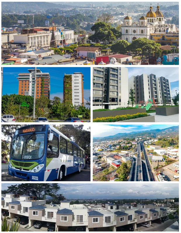
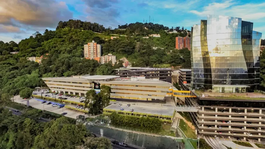
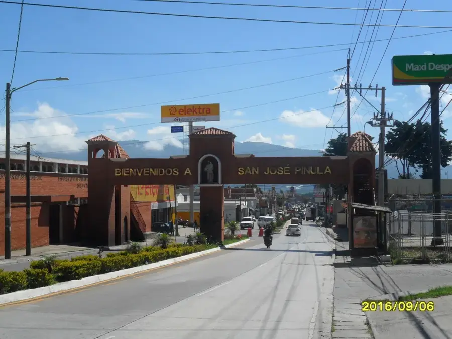
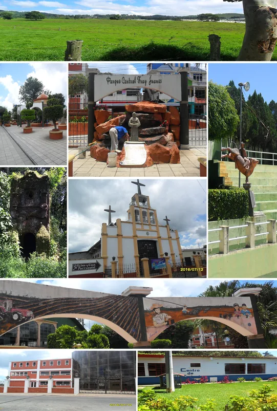
Explore nearby
Notable places around
Route planner — Car & Motorhome
Where do you start? We build the route here, with stops and country notes along the way.
© OpenStreetMap contributors · OpenRouteService
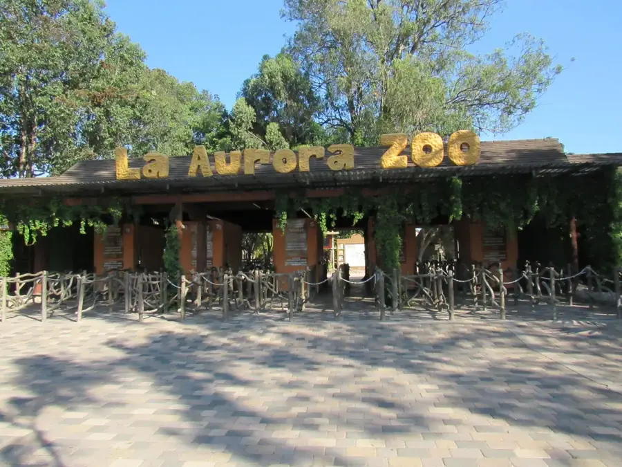
Sights nearby
Frequently asked questions
What is the Central Highlands?
What is the climate like in the highlands?
Are there hiking trails there?
What clothing should I pack?
Is the region family-friendly?
Central Highlands: where is it located?
Central Highlands: when is the best time to visit?
Central Highlands: why is it worth visiting?

Nearby cities
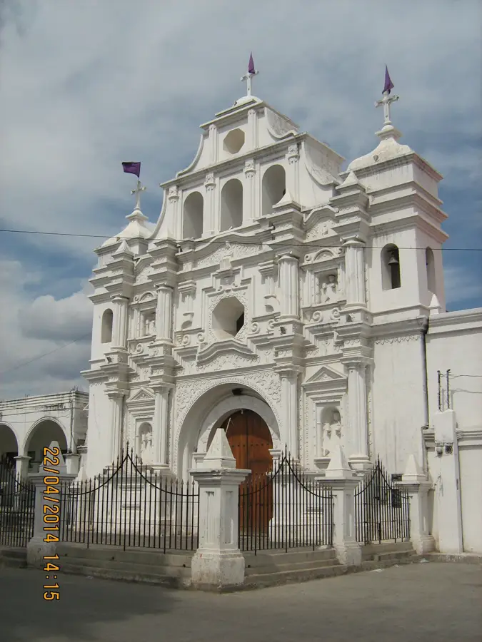
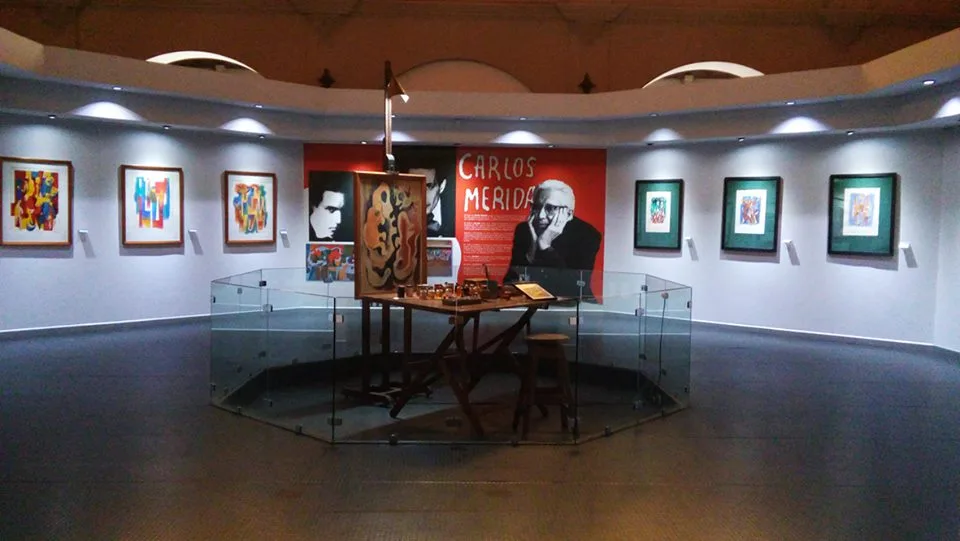
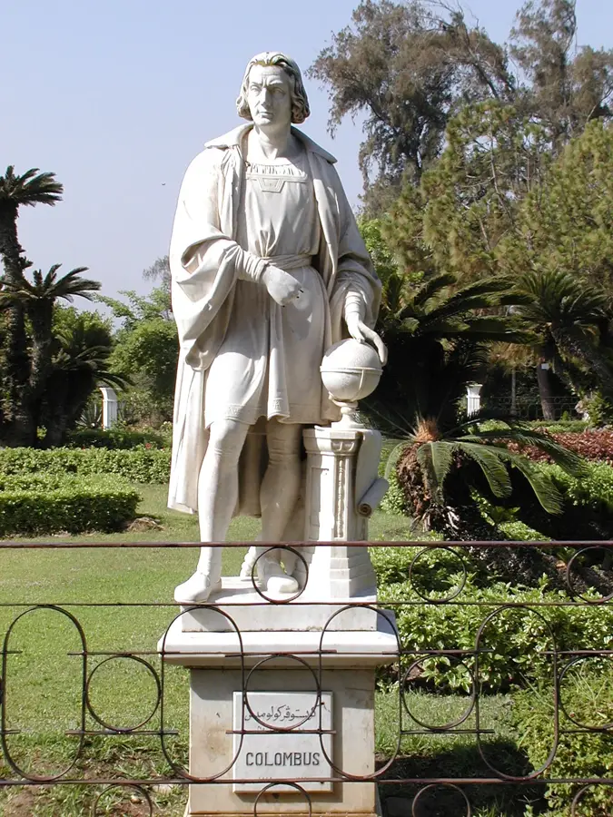
History & landmarks
More places