Plizio Visual Lab
Sierra de Chuacús
Weather…
Water temperature…
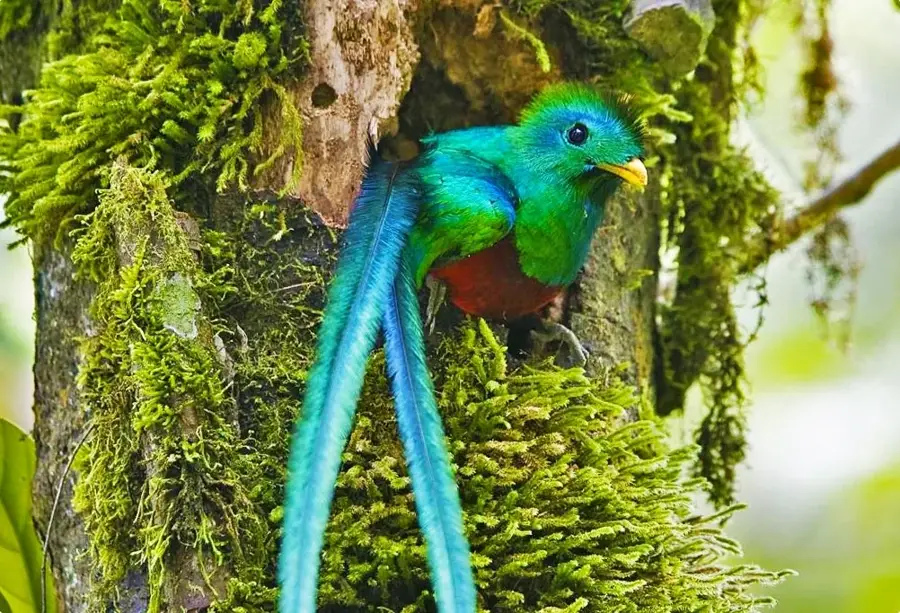
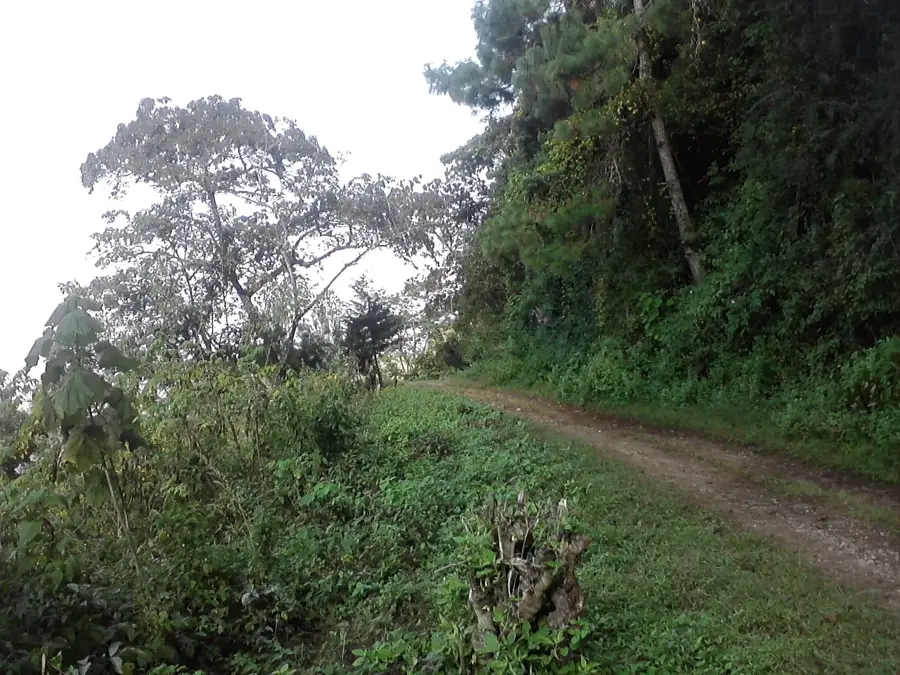
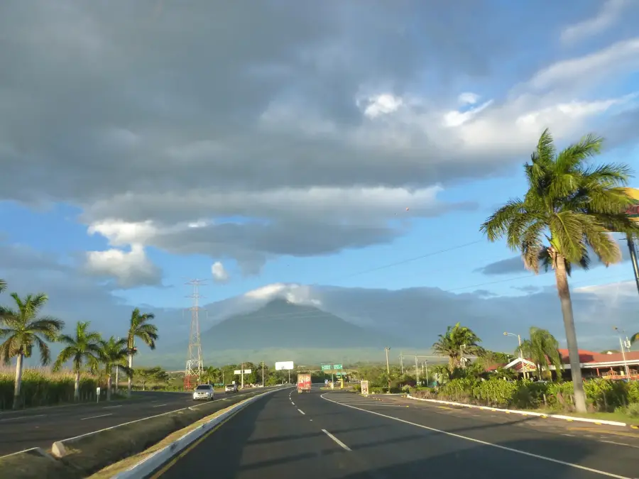
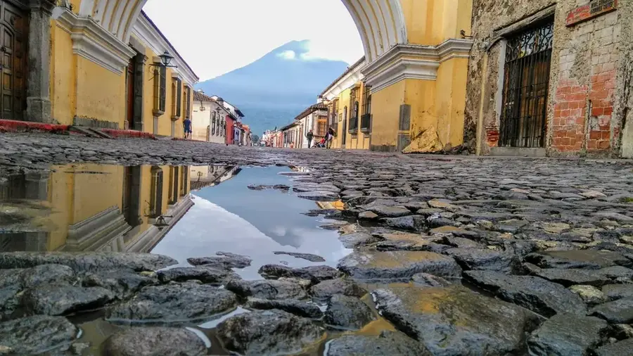
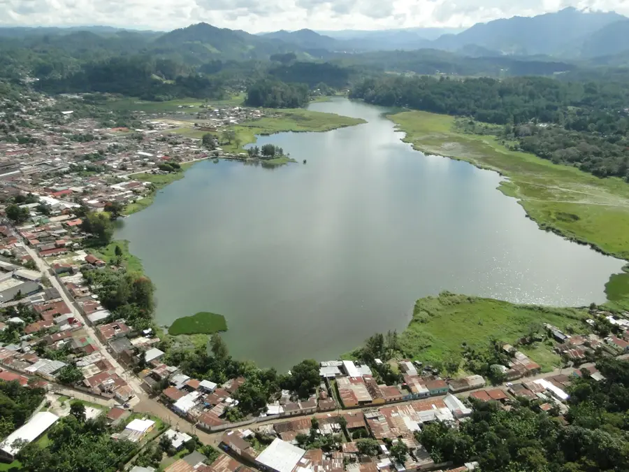
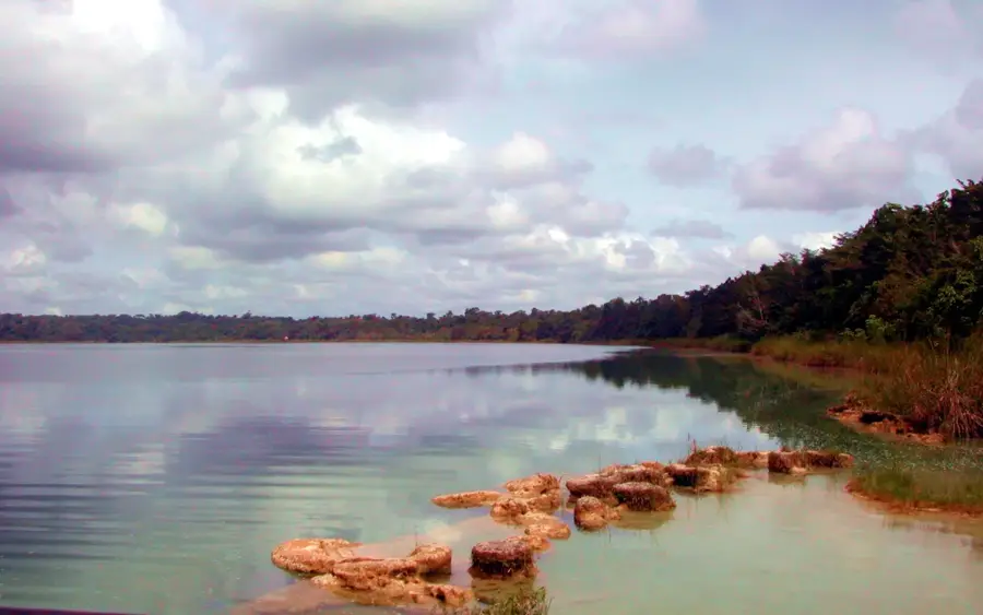
The Sierra de Chuacús is a prominent mountain range in the central highlands of Guatemala, stretching across the departments of Quiché and Baja Verapaz. This mountain chain plays a crucial geographic role by separating the watersheds between the Motagua River basin to the south and the Polochic River basin to the north. Geologically, the range is predominantly composed of metamorphic rocks and is known for its wealth of minerals and gemstones. Its highest peaks reach elevations of approximately 2,500 meters, such as the Cerro de San Jerónimo. The area is characterized by dense cloud forests that fulfill an essential ecological function for the region's water balance. Economically, the Sierra is significant for highland coffee cultivation and forestry, while also serving as a sanctuary for rare animal species like the Resplendent Quetzal.
- Location: Guatemala
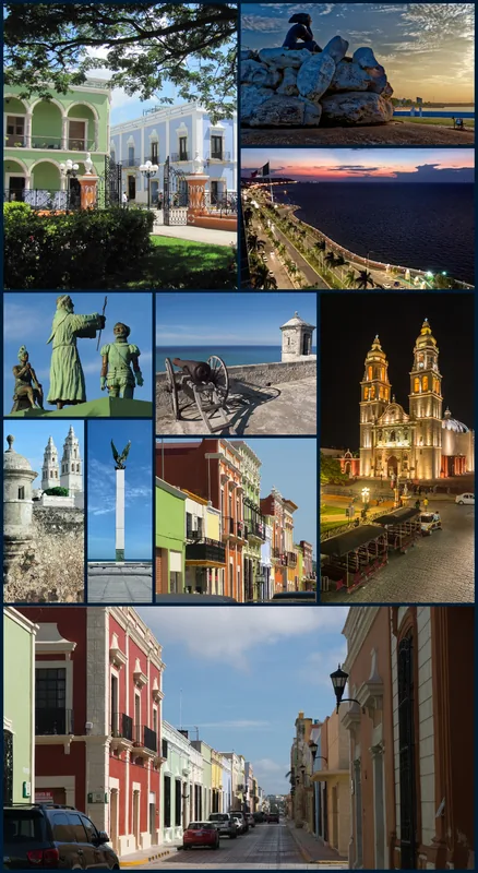
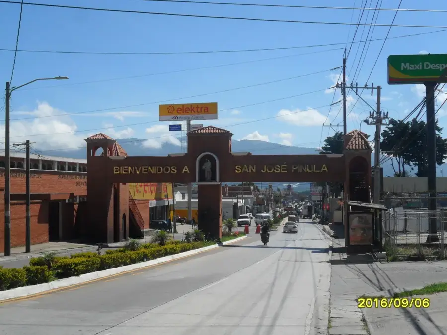
- Nearby: Fraijanes (7 km)
Best time to visit & climate
The most pleasant time to visit is Feb–Apr.
| Jan | Feb | Mar | Apr | May | Jun | Jul | Aug | Sep | Oct | Nov | Dec | |
|---|---|---|---|---|---|---|---|---|---|---|---|---|
| Avg °C | 16 | 18 | 19 | 21 | 21 | 20 | 19 | 19 | 19 | 18 | 17 | 16 |
| Rain mm | 13 | 11 | 18 | 43 | 154 | 225 | 165 | 218 | 256 | 190 | 48 | 16 |
📋 Practical info
Geography
Facts
- Highest peak reaches approx. 2,500 meters
- Geological formation of metamorphic rocks
- Separates the Motagua and Polochic basins
- Stretches across Quiché and Baja Verapaz
- Important region for high-quality coffee
- Habitat for the national symbol, the Quetzal
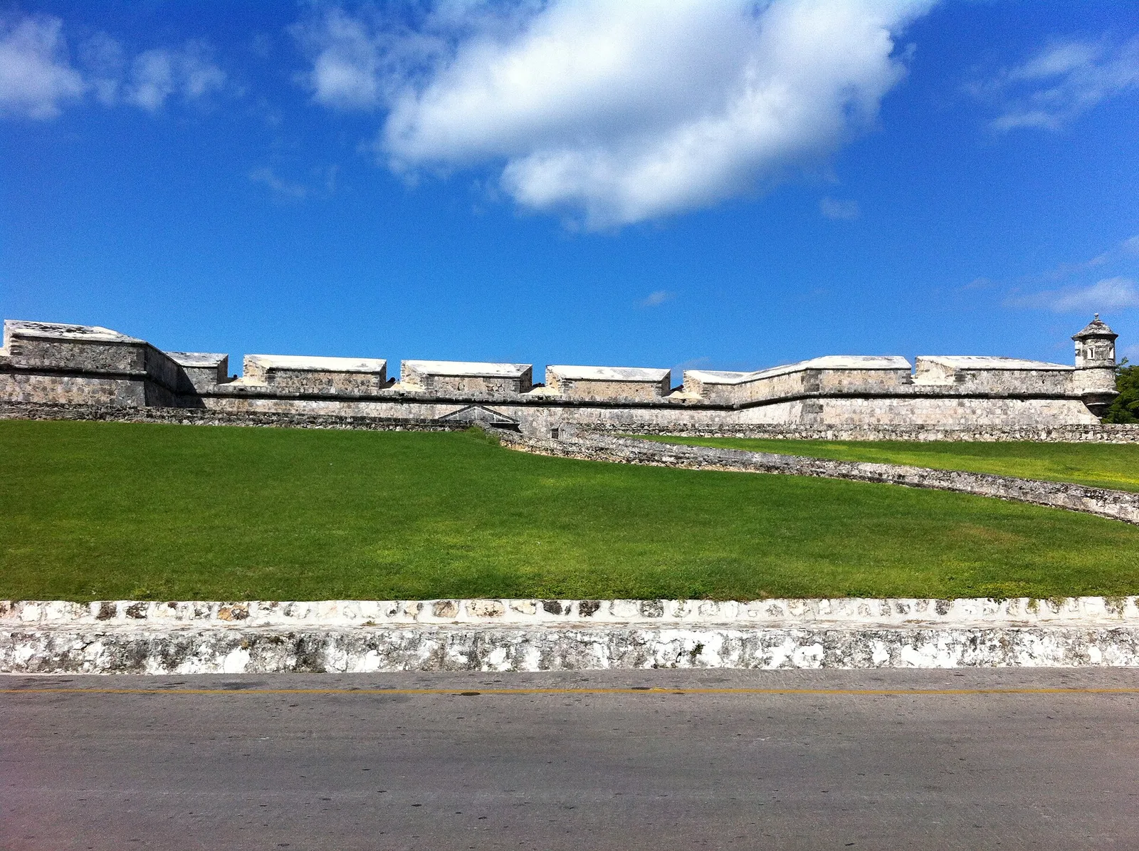
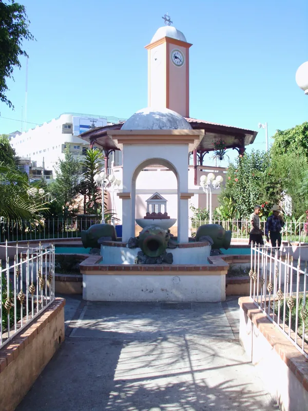
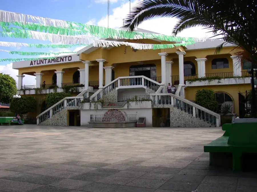
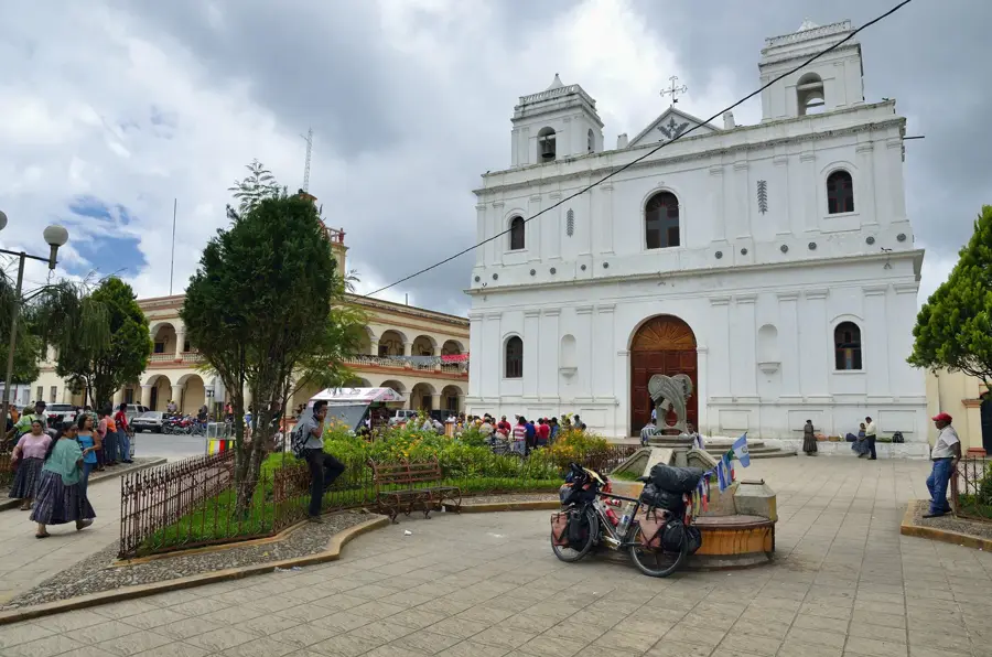
Explore nearby
Notable places around
Route planner — Car & Motorhome
Where do you start? We build the route here, with stops and country notes along the way.
© OpenStreetMap contributors · OpenRouteService
Sights nearby
Frequently asked questions
What is Sierra de Chuacús?
How high are the peaks?
What can you see there?
Is there tourist infrastructure there?
What is the terrain like?
Sierra de Chuacús: where is it located?
Sierra de Chuacús: when is the best time to visit?
Sierra de Chuacús: why is it worth visiting?

Nearby cities

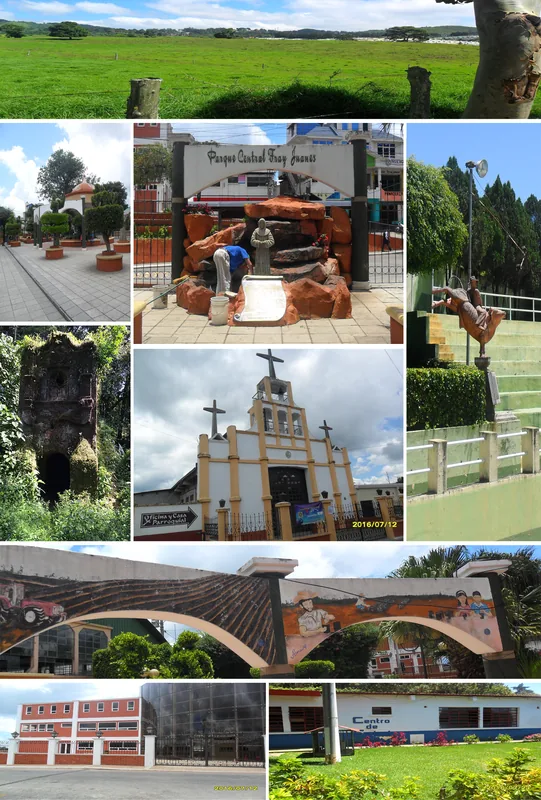
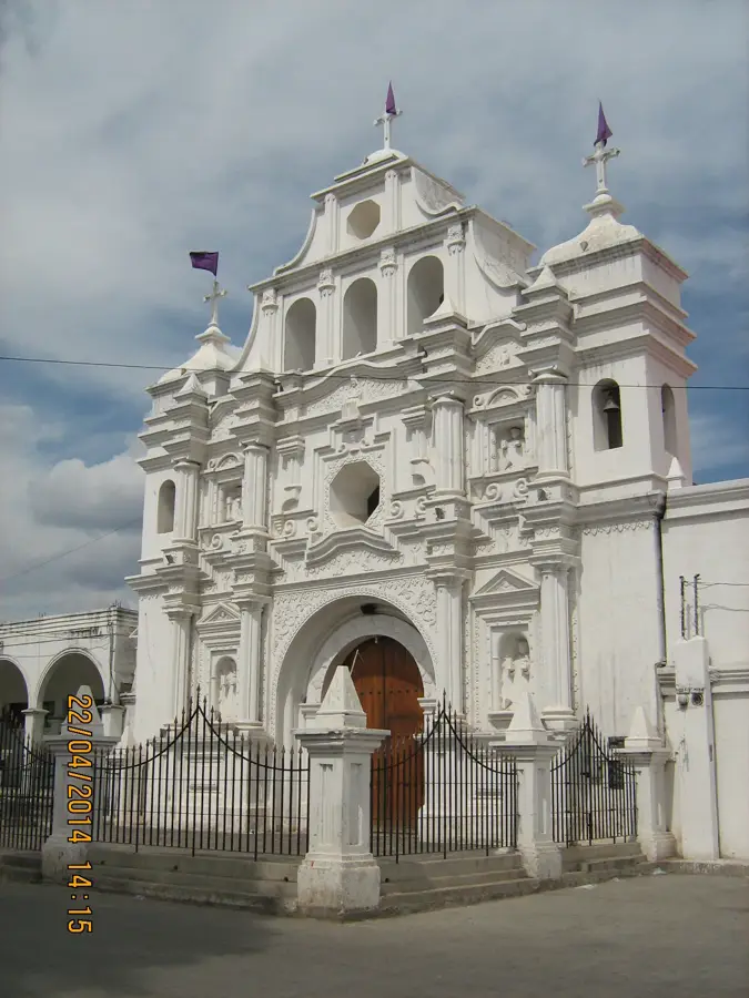
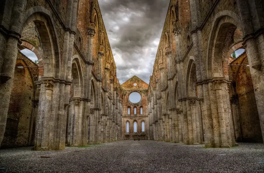
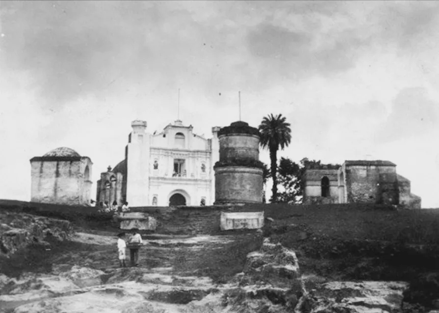
History & landmarks

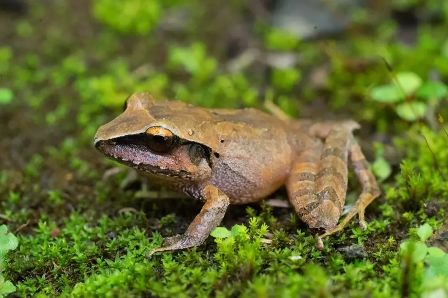
Nature
More places