Plizio Visual Lab
Mixco
ℹ️Practical info — Mixco
▾
🌤 Weather — 5 days
📍 Nearby
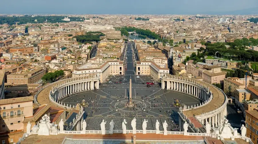
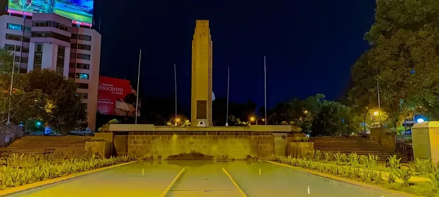
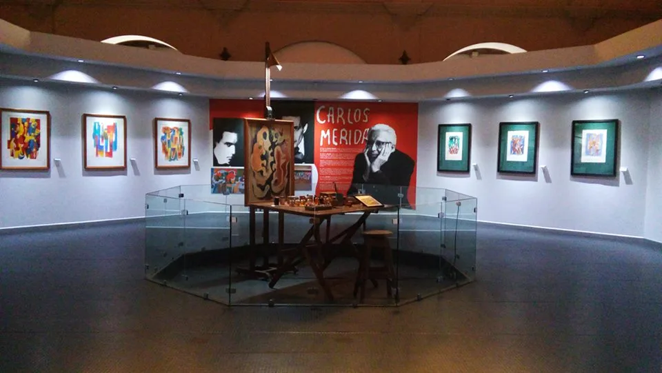
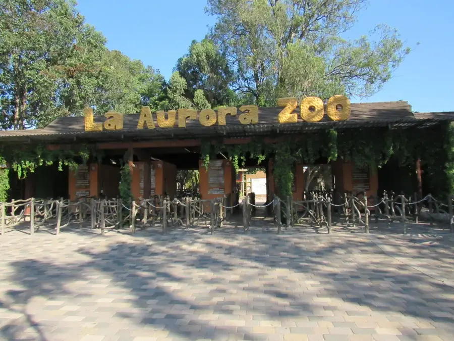
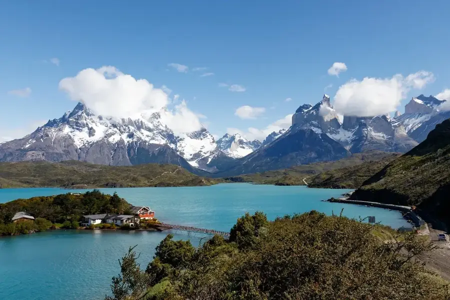
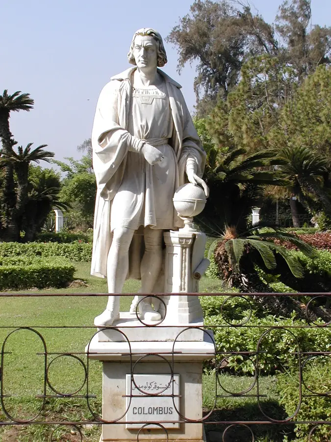
Sights nearby
💡 Tips
- Traffic connecting to Guatemala City is notorious, so plan your travel outside of rush hours.
- Ride-hailing apps are the safest and most reliable way to navigate between municipalities.
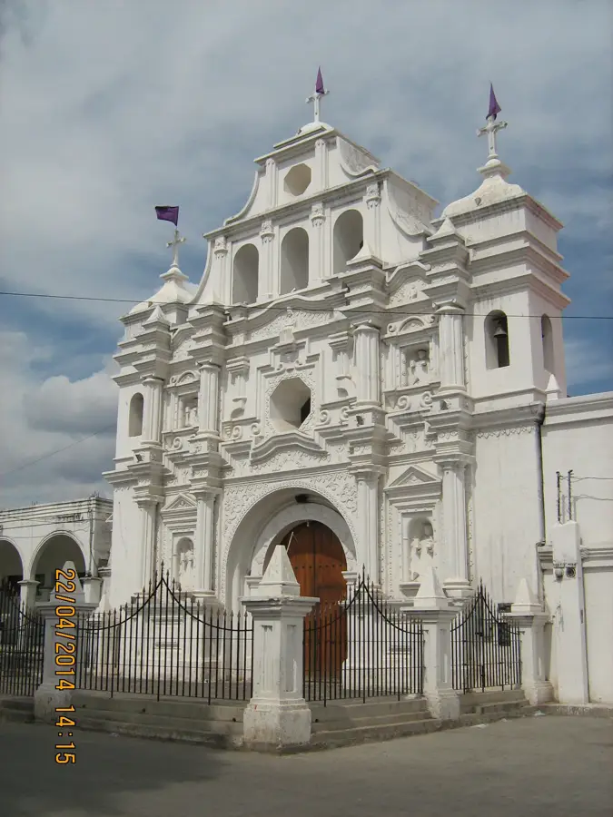
- The central plaza features a glimpse of older colonial architecture amidst the urban sprawl.
- Keep a close eye on your belongings in busy commercial areas.
🍽 Food
Mixco is famous for its fried pork belly; try it at the local specialty eateries known as 'chicharroneras'.
A warm, sweet corn drink excellent for cool afternoons. Buy it from street vendors.
Especially on weekends, you can find freshly steamed tamales at the local markets.
🛍 Shopping · 🧘 Quiet spots
The handy spot to buy fresh food and authentic ingredients for Guatemalan cuisine.
Look for small panaderías for freshly baked sweet bread that pairs perfectly with coffee.
A nearby ecological park excellent for peaceful hikes and enjoying nature.
The square in front of the local parish provides a quieter retreat away from the main thoroughfares.
Water temperature…
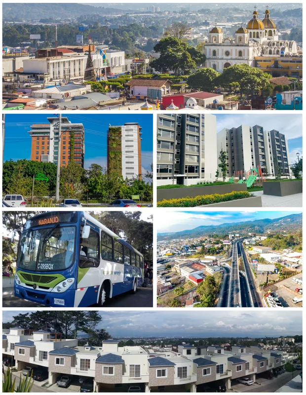
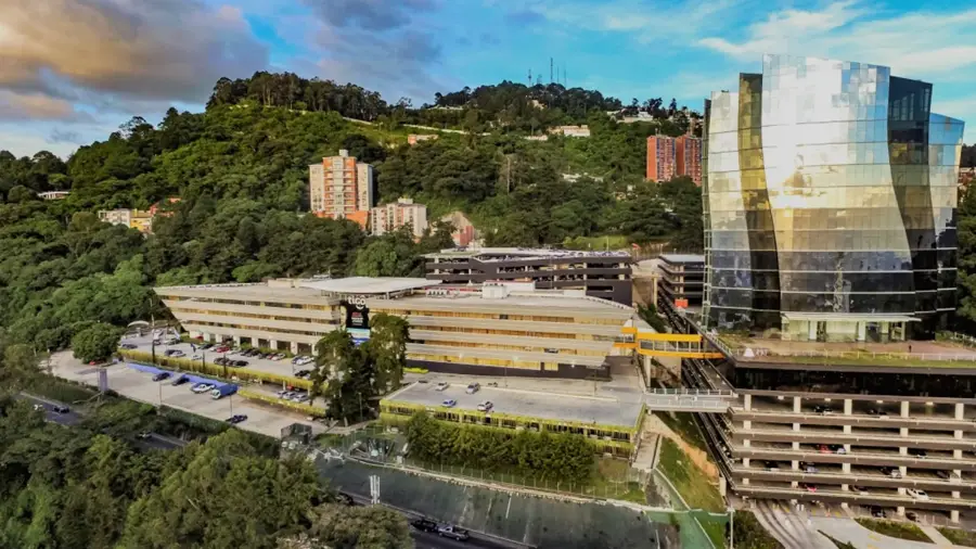
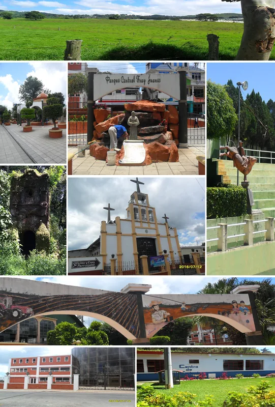
Mixco is the second largest city in Guatemala, located immediately west of the capital, Guatemala City, in the central highlands. The town was originally founded in 1526 by Spanish conquistadors after they conquered the nearby Pocomam Maya fortress of Mixco Viejo. The modern city has evolved from an agricultural community into a massive urban center that is now an integral part of the Guatemala City metropolitan area. Mixco is famous for its cultural heritage, particularly the traditional production of chocolate and fine ceramics still practiced by local artisans. The topography is characterized by deep ravines and steep hills, which poses challenges for urban planning but also provides spectacular views. Every year, the festival in honor of the patron saint Santo Domingo de Guzmán is celebrated with colorful processions and traditional dances. As a major transportation hub, the Interamericana highway connects Mixco with the west of the country, making the city a central hub for commerce and services.
- Location: Guatemala
- Nearby: Santiago Sacatepéquez (8 km)
- Population: ~465.773 (2023)
Best time to visit & climate
The most pleasant time to visit is Jan–Mar.
| Jan | Feb | Mar | Apr | May | Jun | Jul | Aug | Sep | Oct | Nov | Dec | |
|---|---|---|---|---|---|---|---|---|---|---|---|---|
| Avg °C | 19 | 21 | 22 | 23 | 23 | 22 | 21 | 21 | 21 | 20 | 19 | 19 |
| Rain mm | 5 | 7 | 12 | 41 | 163 | 225 | 172 | 223 | 243 | 191 | 43 | 8 |
Geography
Facts
- Second largest city in Guatemala by population.
- Founded by Spanish settlers in the year 1526.
- Located at an average elevation of 1,650 meters.
- Center for traditional Guatemalan chocolate craftsmanship.
- Integral part of the Guatemala City metropolitan area.
- The Interamericana highway serves as the city's main artery.
Explore nearby
Notable places around
Route planner — Car & Motorhome
Where do you start? We build the route here, with stops and country notes along the way.
© OpenStreetMap contributors · OpenRouteService
Sights in the town Mixco (1)
Frequently asked questions
What is Mixco's most famous specialty?
How do you get from Guatemala City to Mixco?
Are there any historical sights?
When does the city festival take place?
Is Mixco safe for tourists?
Mixco: where is it located?
Mixco: when is the best time to visit?
Mixco: why is it worth visiting?

Nearby cities
History & landmarks
More places